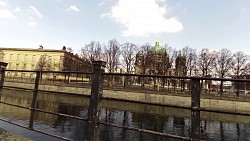
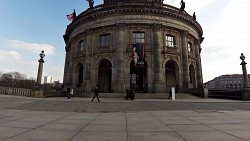
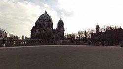
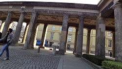
Walk around the historic center of Berlin

Profile
| 0.00km from start |
11.86km to finish |
m elevation |
0m total elevation |
0m total descent |
Point of interest (POI)
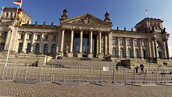
| Reichstag | map | video | |
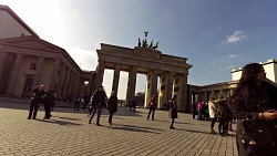
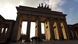
| Brandenburg Gate | map | video | |
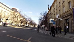
| Unter den Linden | map | video | |
| Babelplatz | map | video | |
| New Guardhouse | map | video | |
| Zeughaus | map | video | |
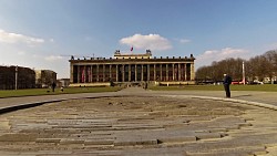
| Museum Island | map | video | |
| Lustgarten | map | video | |
| Berlin Cathedral | map | video | |
| Neptun Fountain | map | video | |
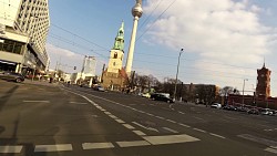
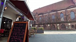
| St. Mary Church | map | video | |
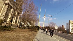
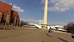
| Berlin TV Tower | map | video | |
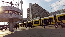
| World clock | map | video | |
| Nikolaiviertel | map | video | |
| Gendarmenmarkt | map | video | |
| Postdamer Platz | map | video | |
| Sony Center | map | video | |
| Führerbunker | map | video | |
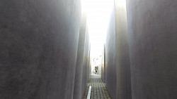
| Memorial to the Murdered Jews of Europe | map | video |
Walk around the historic center of Berlin
Berlin is one of its 16 states and since 1991 the capital city of the Federal Republic of Germany. With a population of approximately 3.5 million people, it is the second most populous city in the European Union.
First documented in the 13th century and situated at the crossing of two important historic trade routes. Berlin became the capital of the Margraviate of Brandenburg (1417–1701), the Kingdom of Prussia (1701–1918), the German Empire (1871–1918), the Weimar Republic (1919–1933) and the Third Reich (1933–1945). ]After World War II, the city was divided; East Berlin became the capital of East Germany while West Berlin became West German exclave, surrounded by the Berlin Wall (1961–1989) and East Germany territory. Following German reunification in 1990, Berlin was once again designated as the capital of united Germany.
Tip: By bicycle from Charlottenburg to Berlin city center and back
Share to friends
Rating
Photos from track
![]() Back to the list of videoroutes
Back to the list of videoroutes


