From Canaima across Salto Angel to Ciudad Bolivar by plane

1x

Profile

0.00km
from start
333.62km
to finish
m
elevation
0m
total elevation
0m
total descent

Point of interest (POI)

Canaima Airport map video
Ucaima and Golondrina waterfalls map video
Salto Hacha waterfall map video
Angel Falls map video
map video
map video
Ciudad Piar map video
Ciudad Bolívar map video
Ciudad Bolívar airport map video
like:
type:
Balloon, plane
difficulty:
Easy
length:
333.62km
total elevation:
8,811.70m
total descent:
9,158.00m
navigation:
The route was filmed by camera Garmin Virb Elite

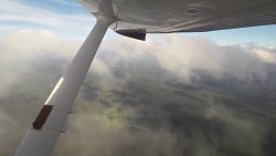
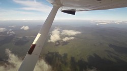
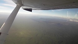
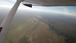
A flight from Canaima over Salto Angel to Ciudad Bolivar

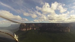
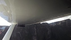
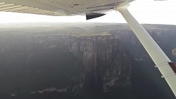
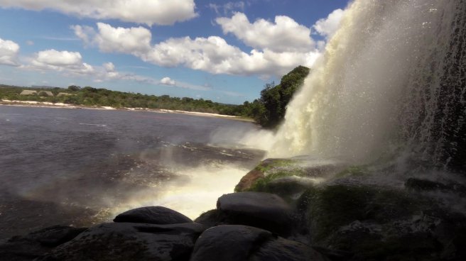
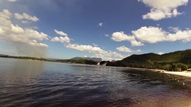
Small (usually 6 seater) aircrafts fly from the airport in the Canaima National Park to Ciudad Bolivar. You can fly, by arrangement, over and above the tallest waterfalls of the world - Salto Angel. This 979 meter tall waterfall was named after the American pilot and diamond hunter Jimmy Angel, who "parked" his plane into the waterfall in 1935. Although the waterfall had been documented already, it was this story that gave it its name. The pilot and crew survived the crash.

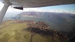
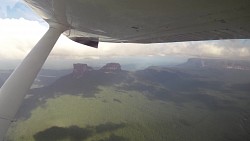
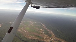
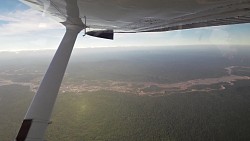
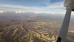
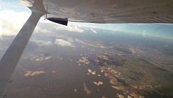
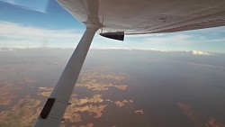
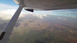
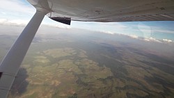
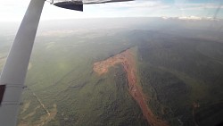
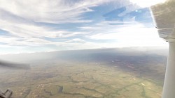
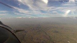
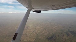
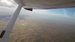
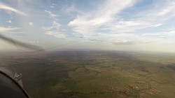
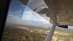
The whole flight usually takes a little over an hour and half and is a great opportunity to see the interesting Venezuelan landscape from a bird's perspective. The biggest attractions, which you will see from the height, are the iron mines around Ciudad Piar, small islands and waterlogged landscape at the Guri dam (one of the largest dams in South America), Caroní river and of course the unique table mountains (Tepui) in the Canama National Park.

You will land at the Tomás de Heres airport in Ciudad Bolivar.

Photos from track

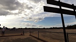
Picture from track From Canaima across Salto Angel to Ciudad Bolivar by plane
0.00km • map • video
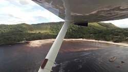
Picture from track From Canaima across Salto Angel to Ciudad Bolivar by plane
5.24km • map • video
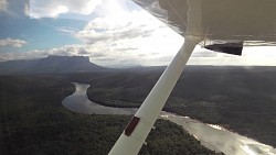
Picture from track From Canaima across Salto Angel to Ciudad Bolivar by plane
16.80km • map • video
Picture from track From Canaima across Salto Angel to Ciudad Bolivar by plane
27.47km • map • video
Picture from track From Canaima across Salto Angel to Ciudad Bolivar by plane
38.05km • map • video
Picture from track From Canaima across Salto Angel to Ciudad Bolivar by plane
48.89km • map • video
Picture from track From Canaima across Salto Angel to Ciudad Bolivar by plane
60.04km • map • video
Picture from track From Canaima across Salto Angel to Ciudad Bolivar by plane
71.47km • map • video
Picture from track From Canaima across Salto Angel to Ciudad Bolivar by plane
83.56km • map • video
Picture from track From Canaima across Salto Angel to Ciudad Bolivar by plane
95.48km • map • video
Picture from track From Canaima across Salto Angel to Ciudad Bolivar by plane
108.16km • map • video
Picture from track From Canaima across Salto Angel to Ciudad Bolivar by plane
122.10km • map • video
Picture from track From Canaima across Salto Angel to Ciudad Bolivar by plane
135.88km • map • video
Picture from track From Canaima across Salto Angel to Ciudad Bolivar by plane
149.70km • map • video
Picture from track From Canaima across Salto Angel to Ciudad Bolivar by plane
163.42km • map • video
Picture from track From Canaima across Salto Angel to Ciudad Bolivar by plane
177.25km • map • video
Picture from track From Canaima across Salto Angel to Ciudad Bolivar by plane
190.86km • map • video
Picture from track From Canaima across Salto Angel to Ciudad Bolivar by plane
204.82km • map • video
Picture from track From Canaima across Salto Angel to Ciudad Bolivar by plane
218.51km • map • video
Picture from track From Canaima across Salto Angel to Ciudad Bolivar by plane
231.72km • map • video
Picture from track From Canaima across Salto Angel to Ciudad Bolivar by plane
245.20km • map • video
Picture from track From Canaima across Salto Angel to Ciudad Bolivar by plane
258.26km • map • video
Picture from track From Canaima across Salto Angel to Ciudad Bolivar by plane
271.61km • map • video
Picture from track From Canaima across Salto Angel to Ciudad Bolivar by plane
285.33km • map • video
Picture from track From Canaima across Salto Angel to Ciudad Bolivar by plane
299.47km • map • video
Picture from track From Canaima across Salto Angel to Ciudad Bolivar by plane
314.09km • map • video
Picture from track From Canaima across Salto Angel to Ciudad Bolivar by plane
326.60km • map • video
Picture from track From Canaima across Salto Angel to Ciudad Bolivar by plane
333.60km • map • video

back Back to the list of videoroutes
back Back to the list of videoroutes