like:
type:
Walking tour
difficulty:
Intermediate
length:
6.40km
total elevation:
238.60m
total descent:
42.80m
navigation:

| 0.00km from start |
6.40km to finish |
m elevation |
0m total elevation |
0m total descent |
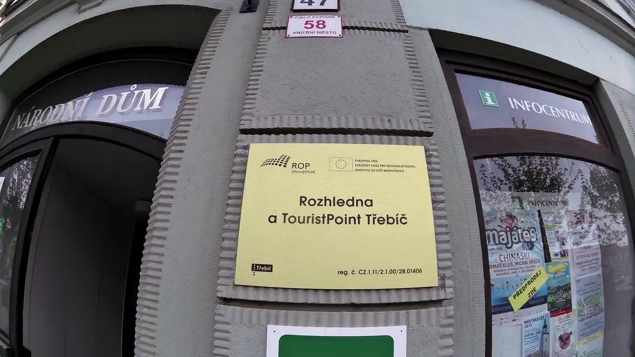
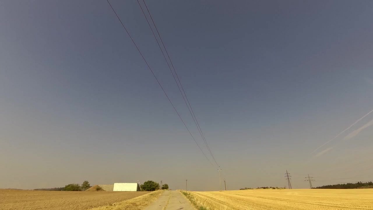
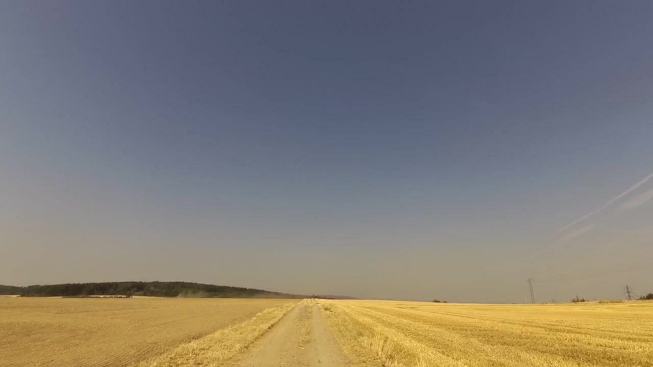
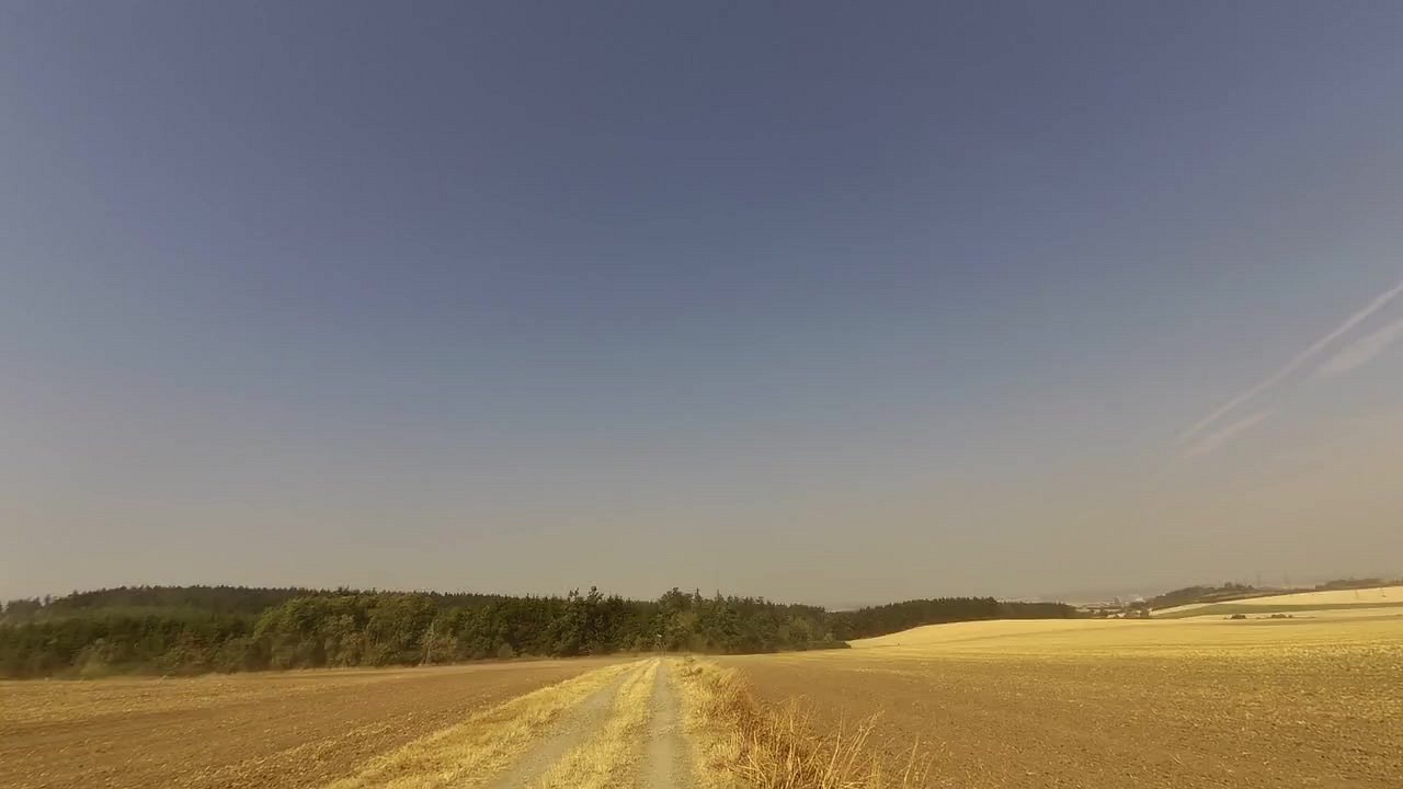
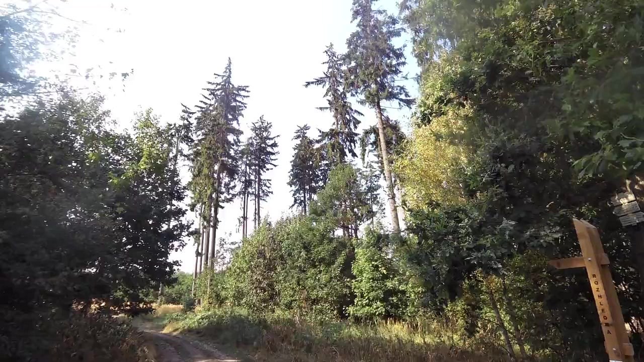
| TouristPoint - base for tourists and cyclists | map | video | |
| Tourist information center Třebíč | map | video | |
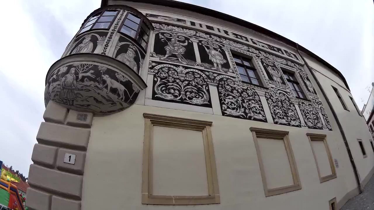
| Painted House | map | video | |
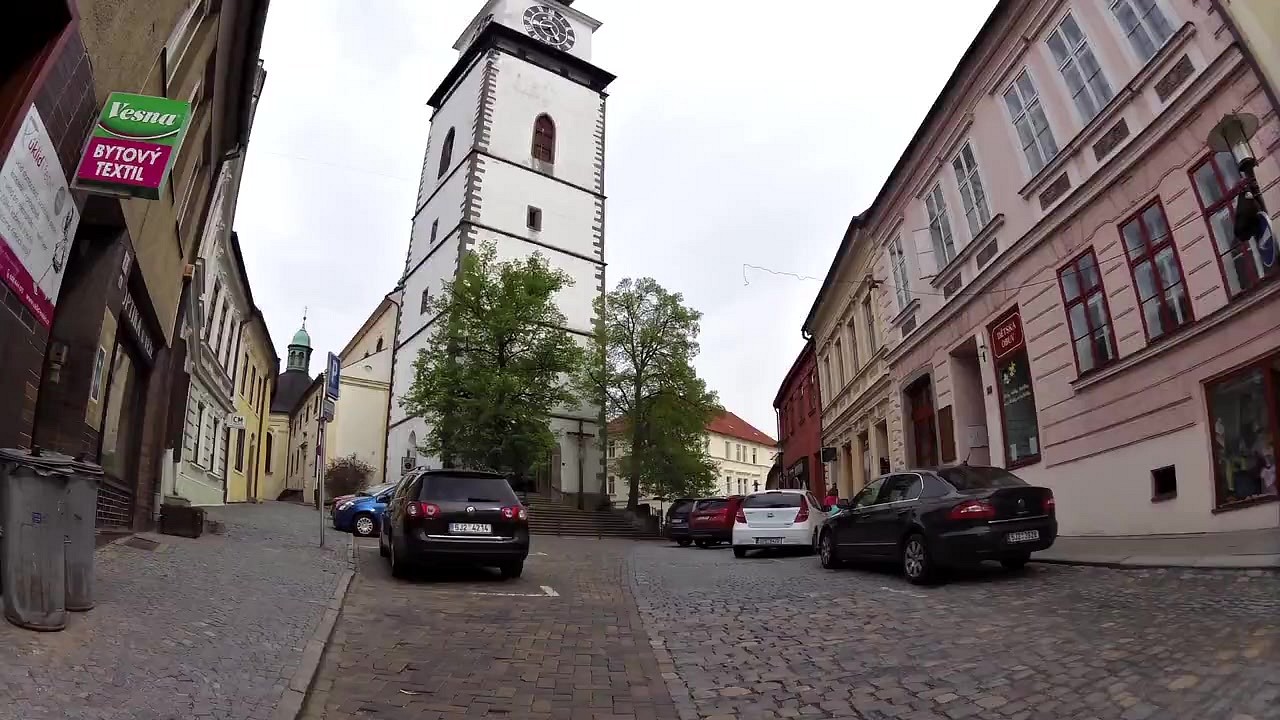
| City tower | map | video | |
| Parking | map | video | |
| Rest area U křížku | map | video | |
| Rest area U vodárny | map | video | |
| Rest area U lesa | map | video | |
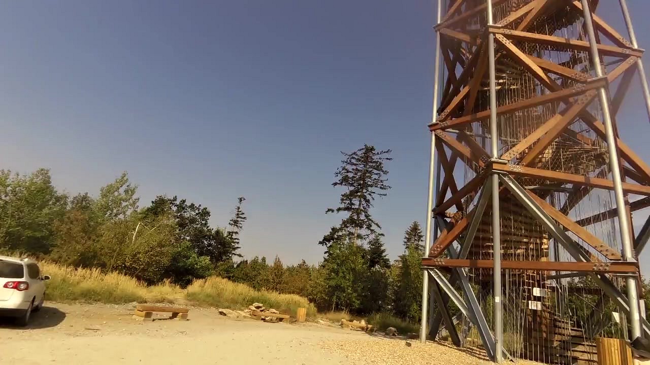
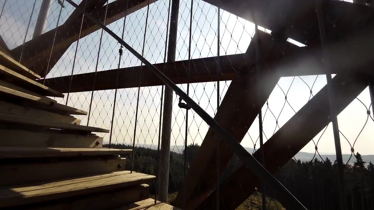
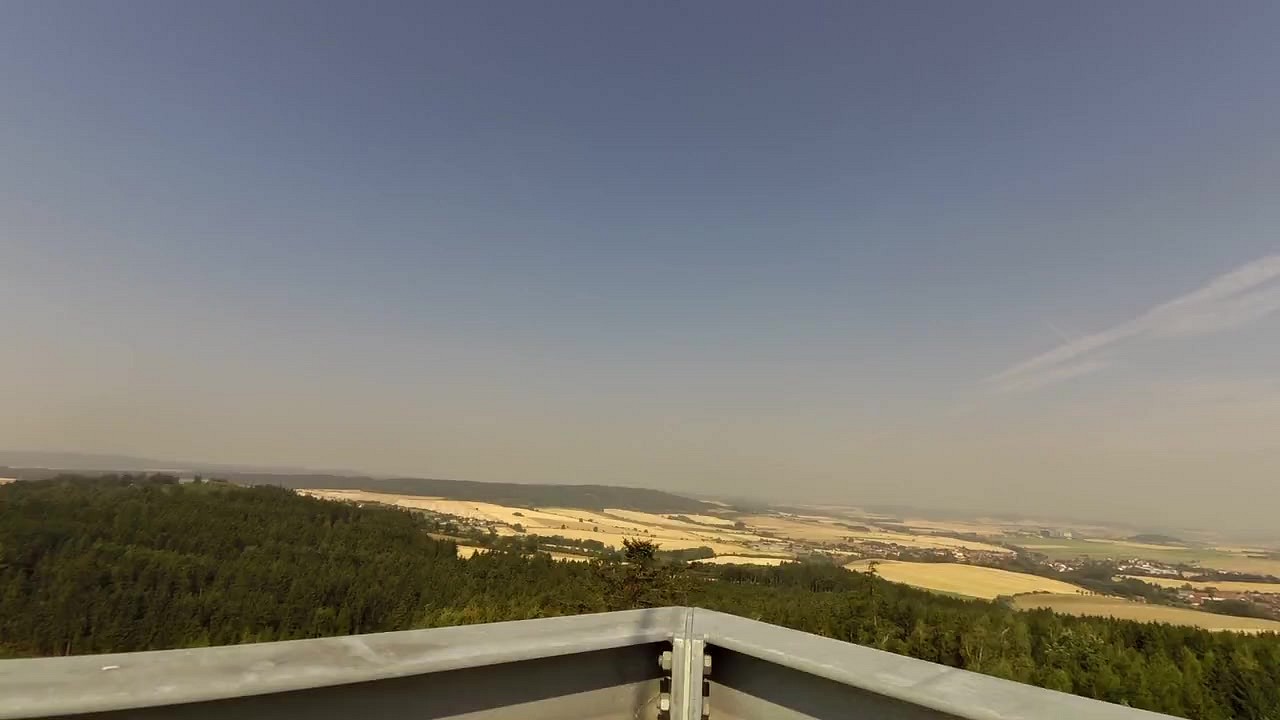
| Lookout tower on Pekelný hill | map | video |


![]() Back to the list of videoroutes
Back to the list of videoroutes


")


