like:
type:
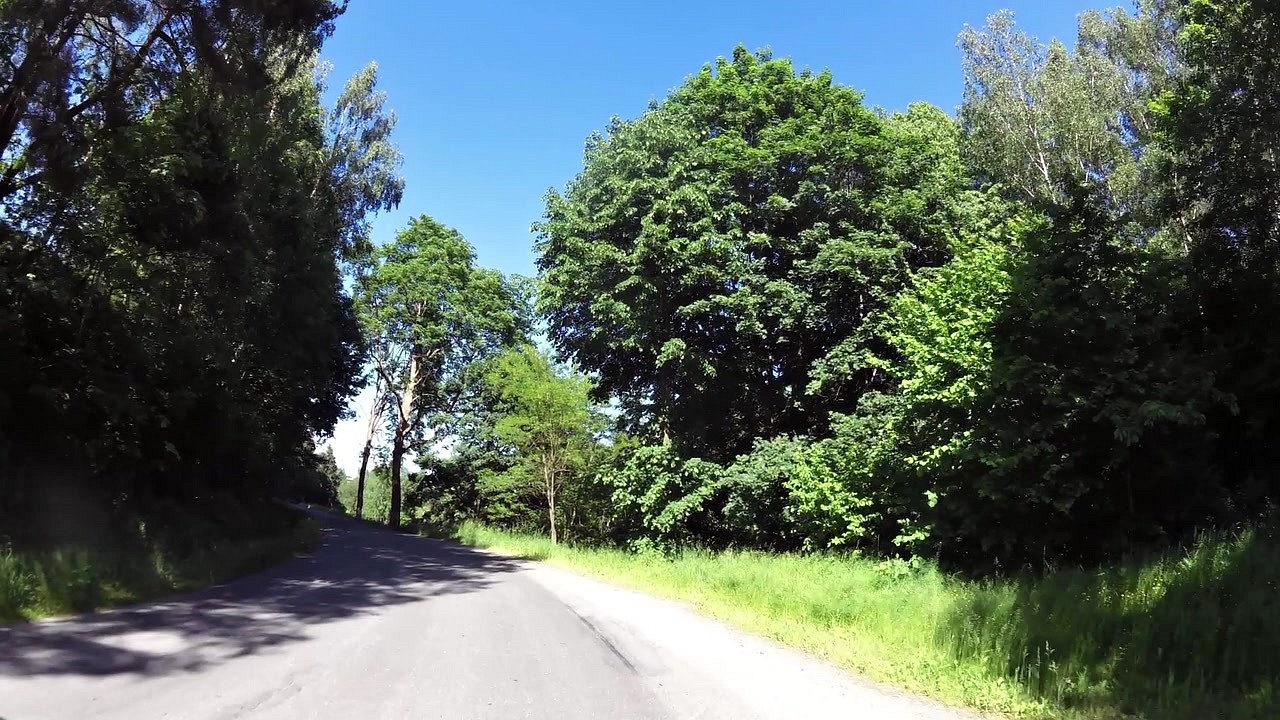
Cycling
difficulty:
Intermediate
length:
32.99km
total elevation:
578.20m
total descent:
611.90m
navigation:

| 0.00km from start |
32.99km to finish |
m elevation |
0m total elevation |
0m total descent |
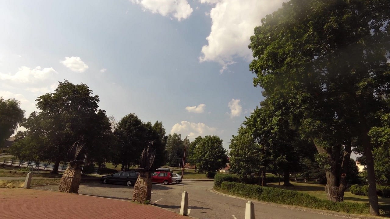
| EDEN center | map | video | |
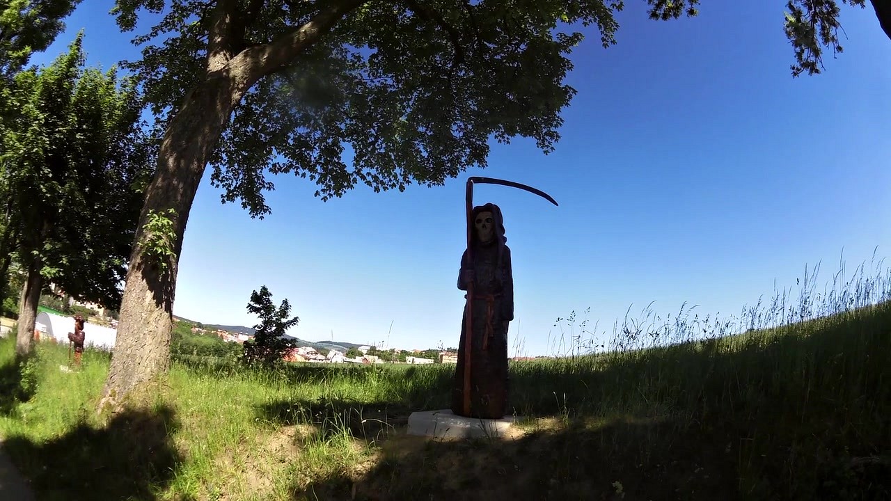
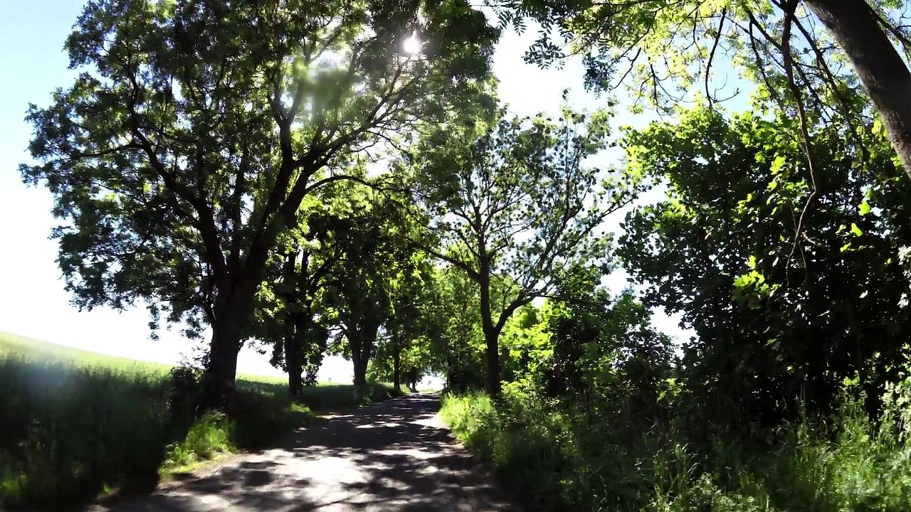
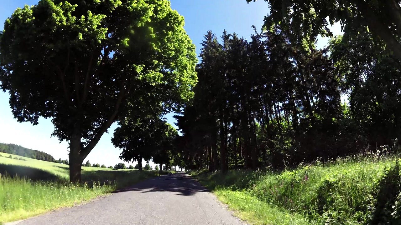
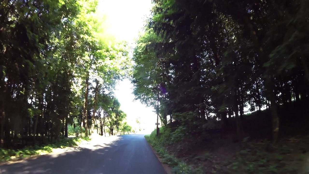
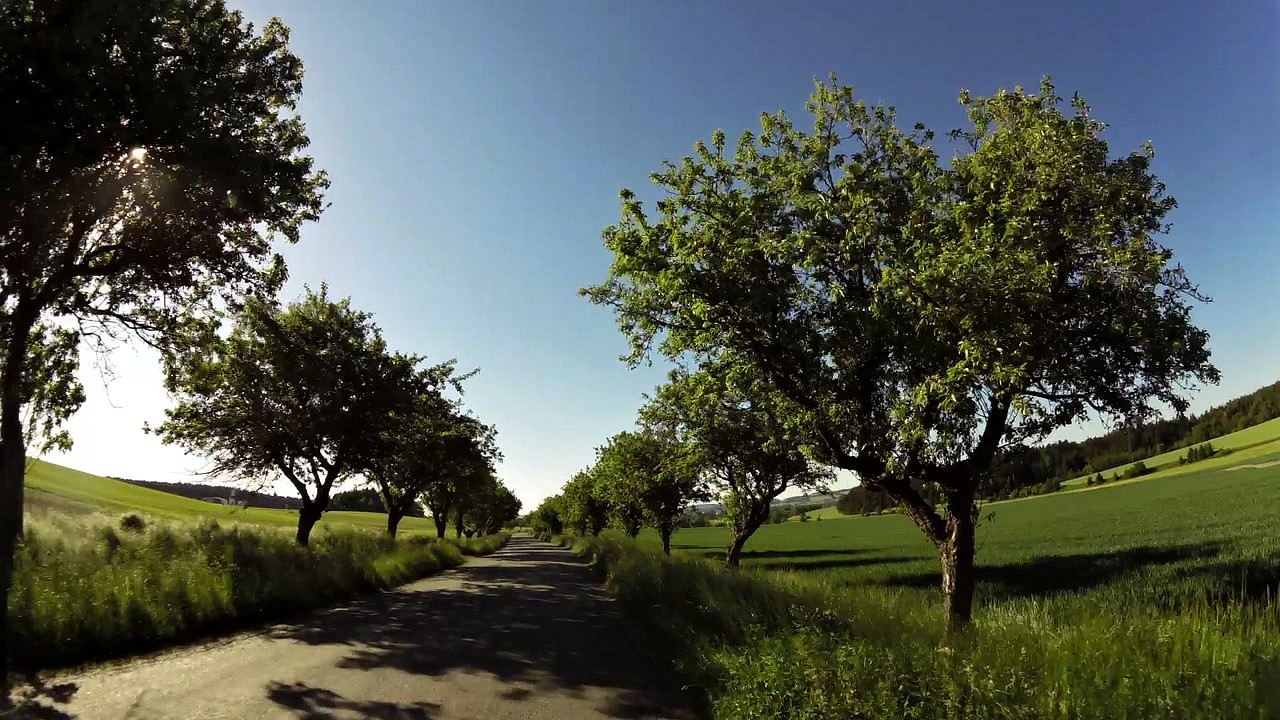
| Fairytale alley | map | video | |
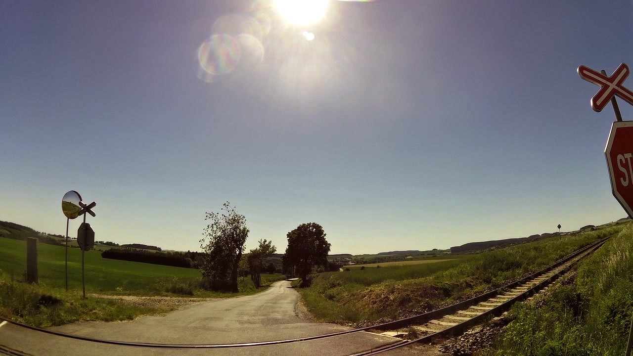
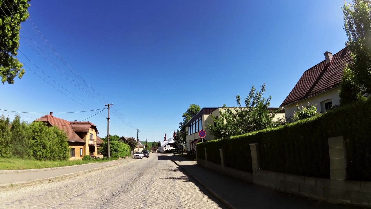
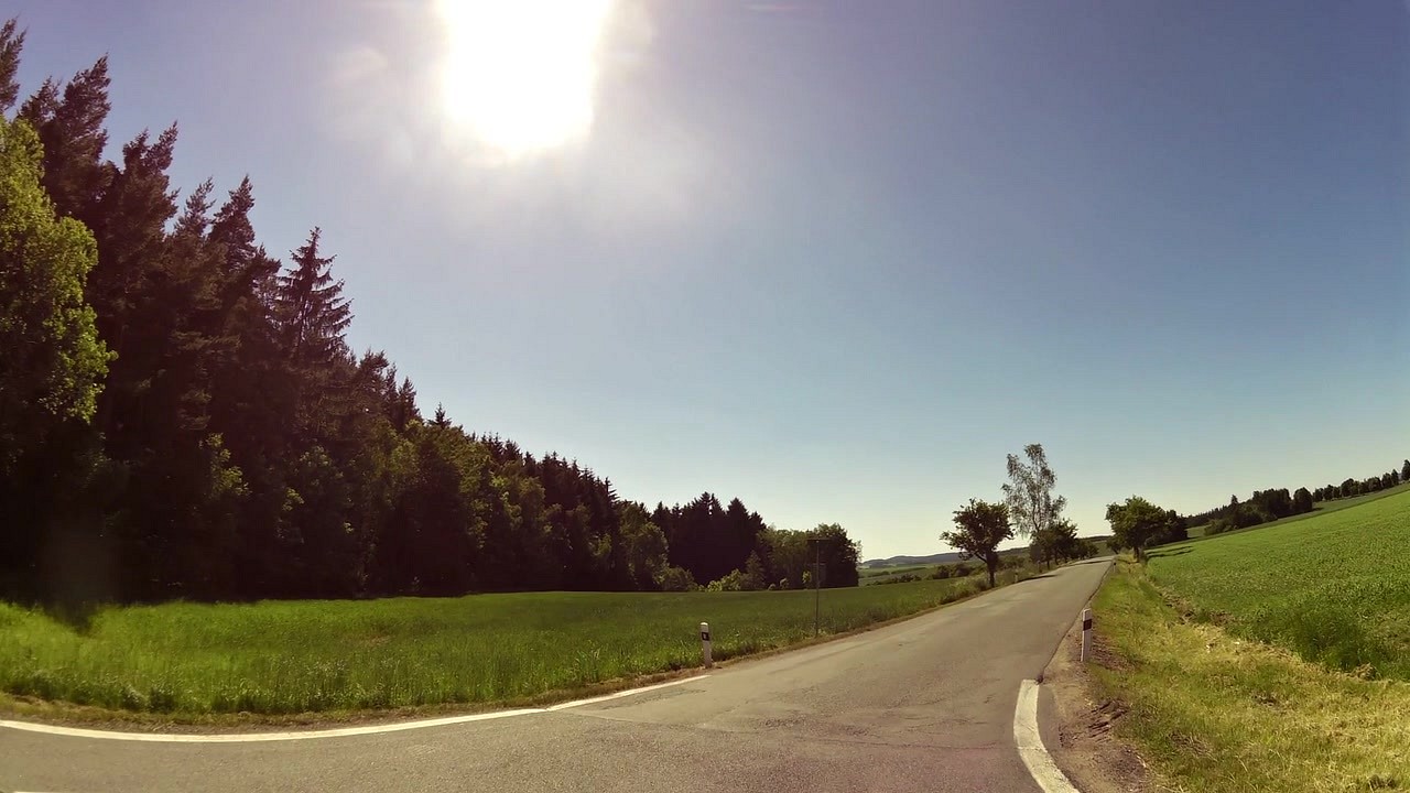
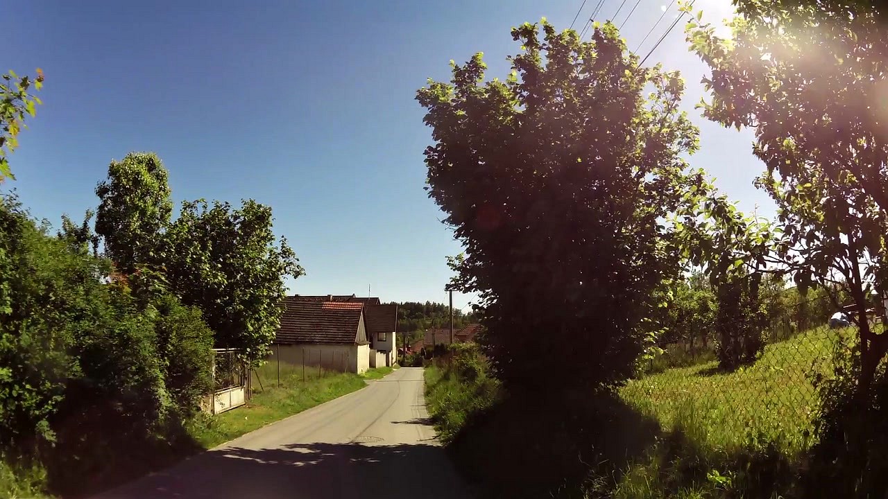
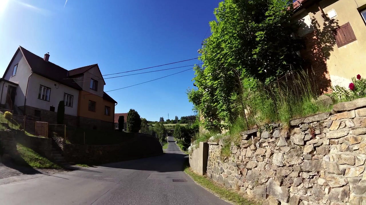
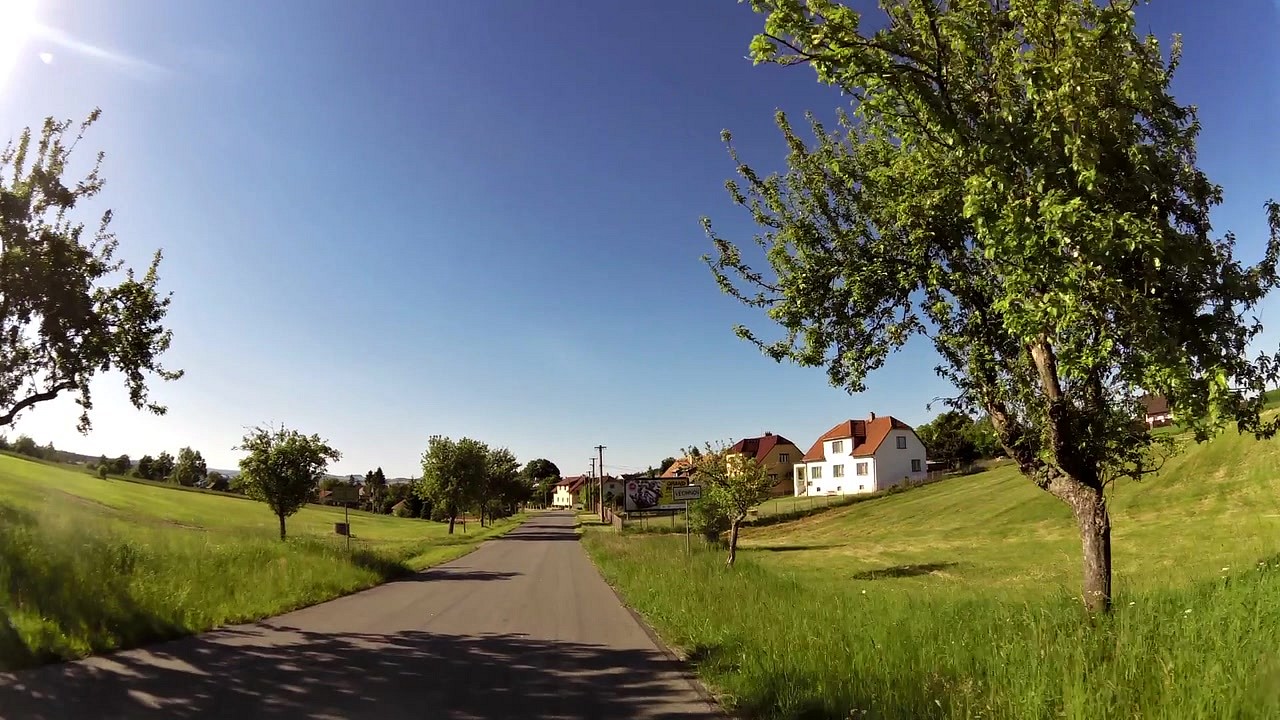
| Rozsochy (village) | map | video | |
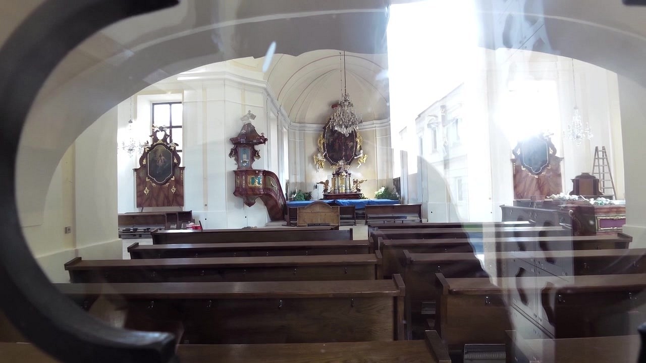
| Zvole - St. Wenceslaus Church | map | video | |
| Šikland - western City Šikl mill | map | video | |
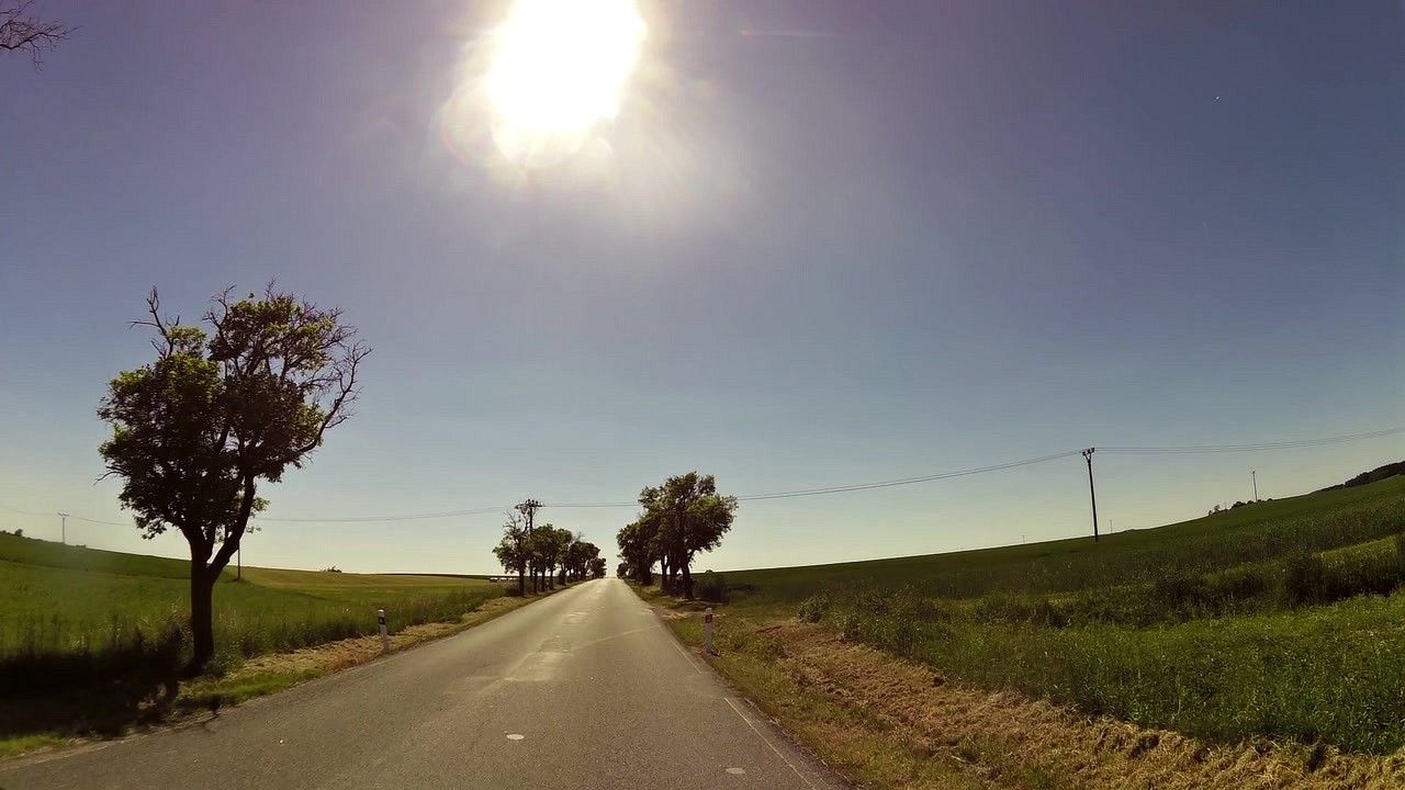
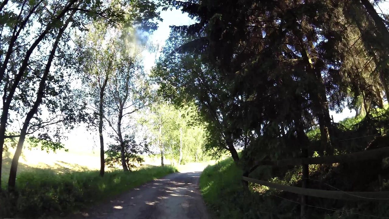
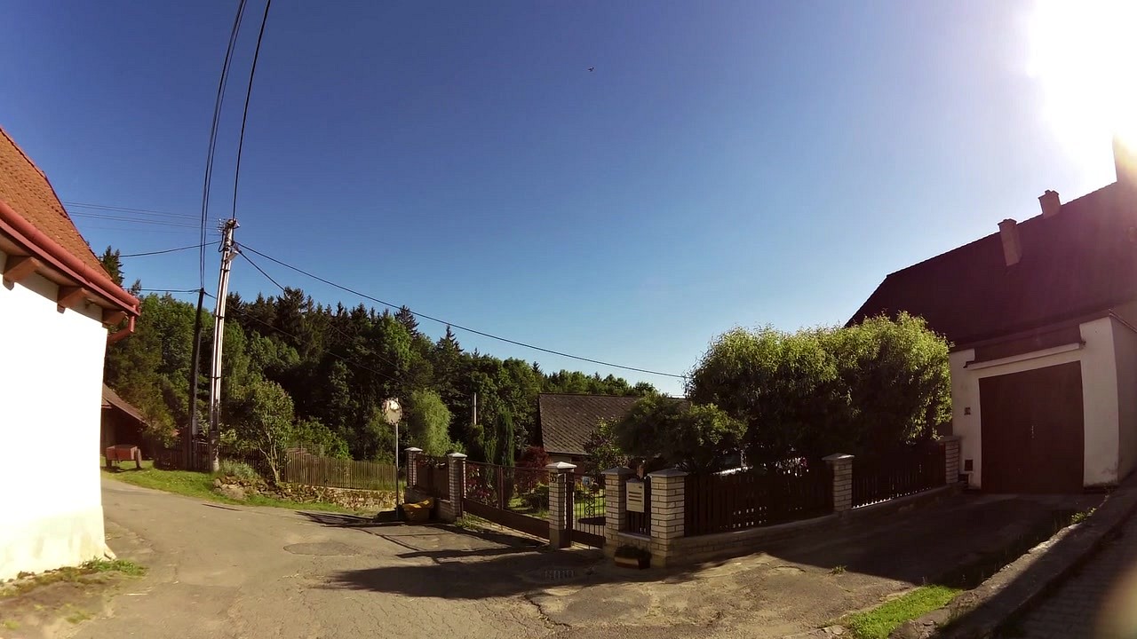
| Blažkov (village) | map | video | |
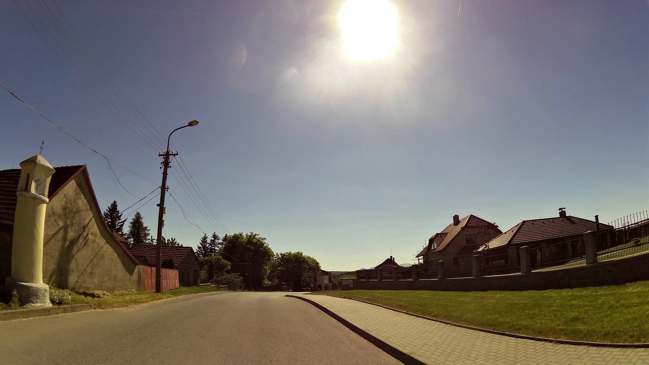
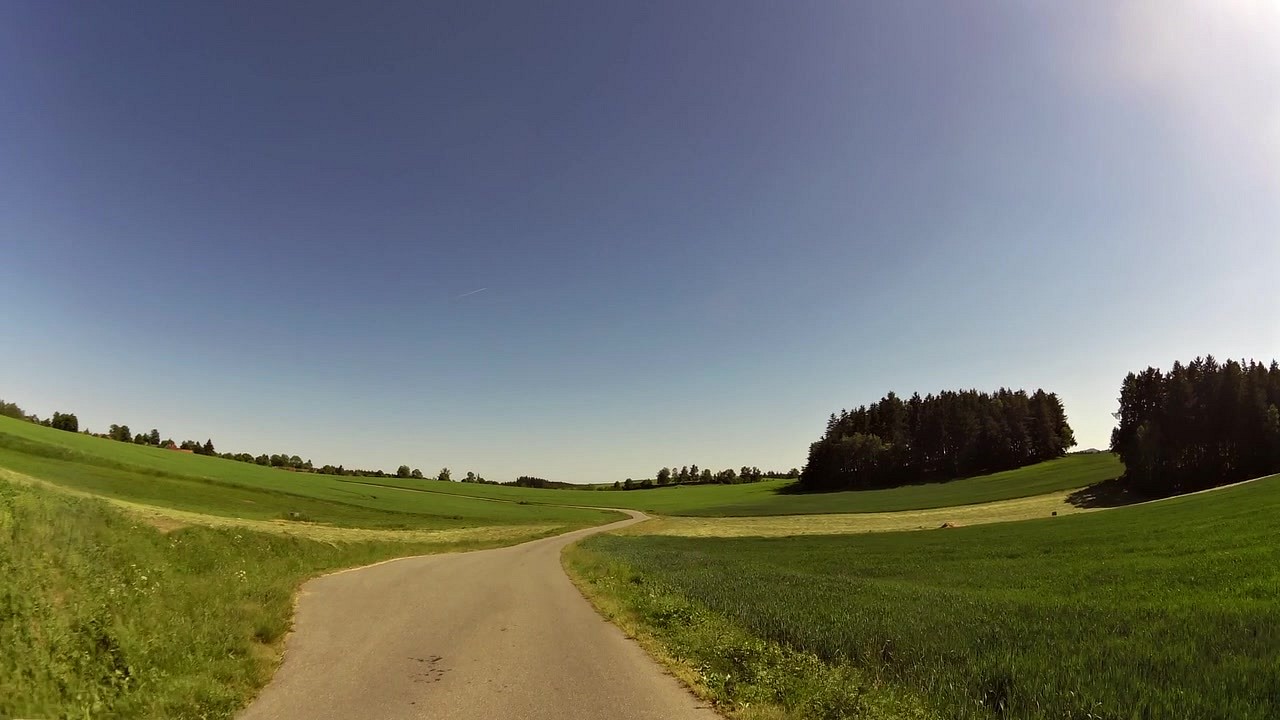
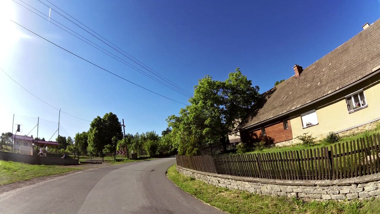
| Dolní Rožínka (village) | map | video | |
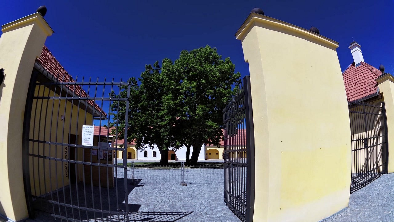
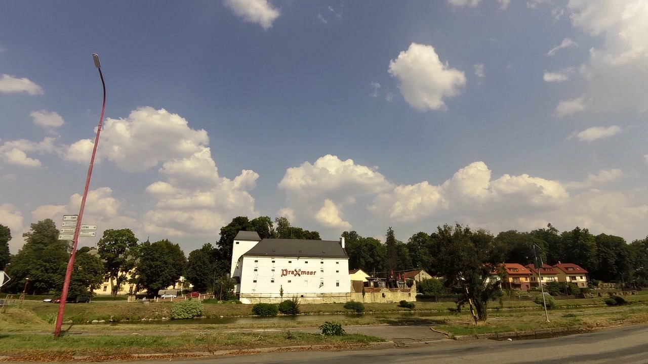
| Haunted Castle Draxmoor and Fotopark Crocodile | map | video | |
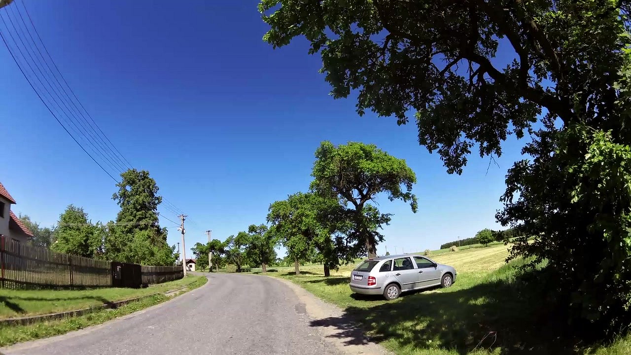
| Rožná (village) | map | video | |
| Pond Argentina | map | video | |
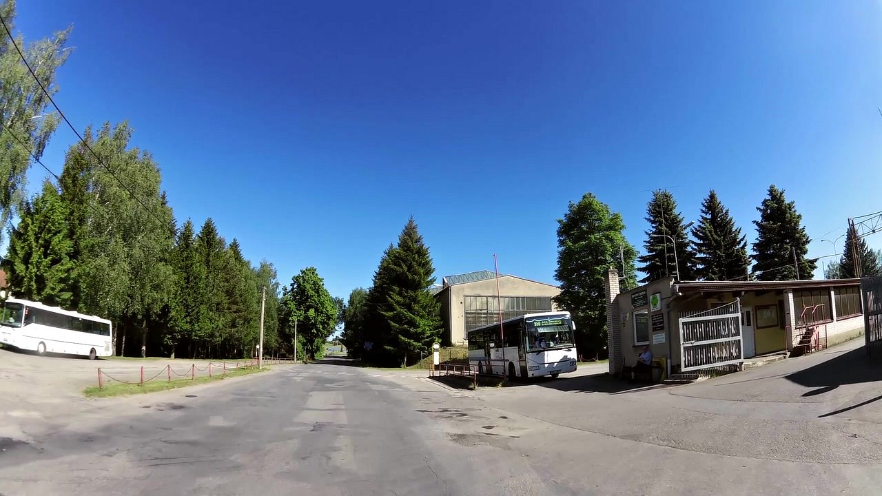
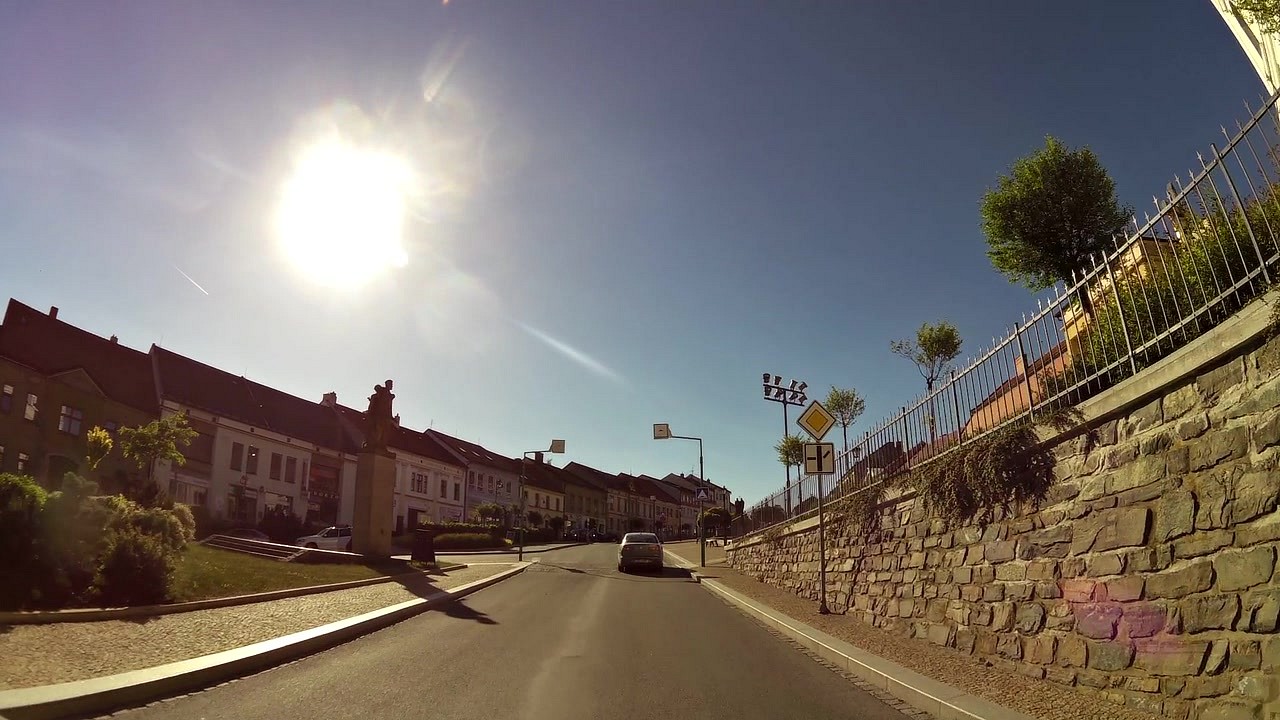
| Tourist information center Bystřice nad Perštejnem | map | video |


![]() Back to the list of videoroutes
Back to the list of videoroutes


