like:
type:
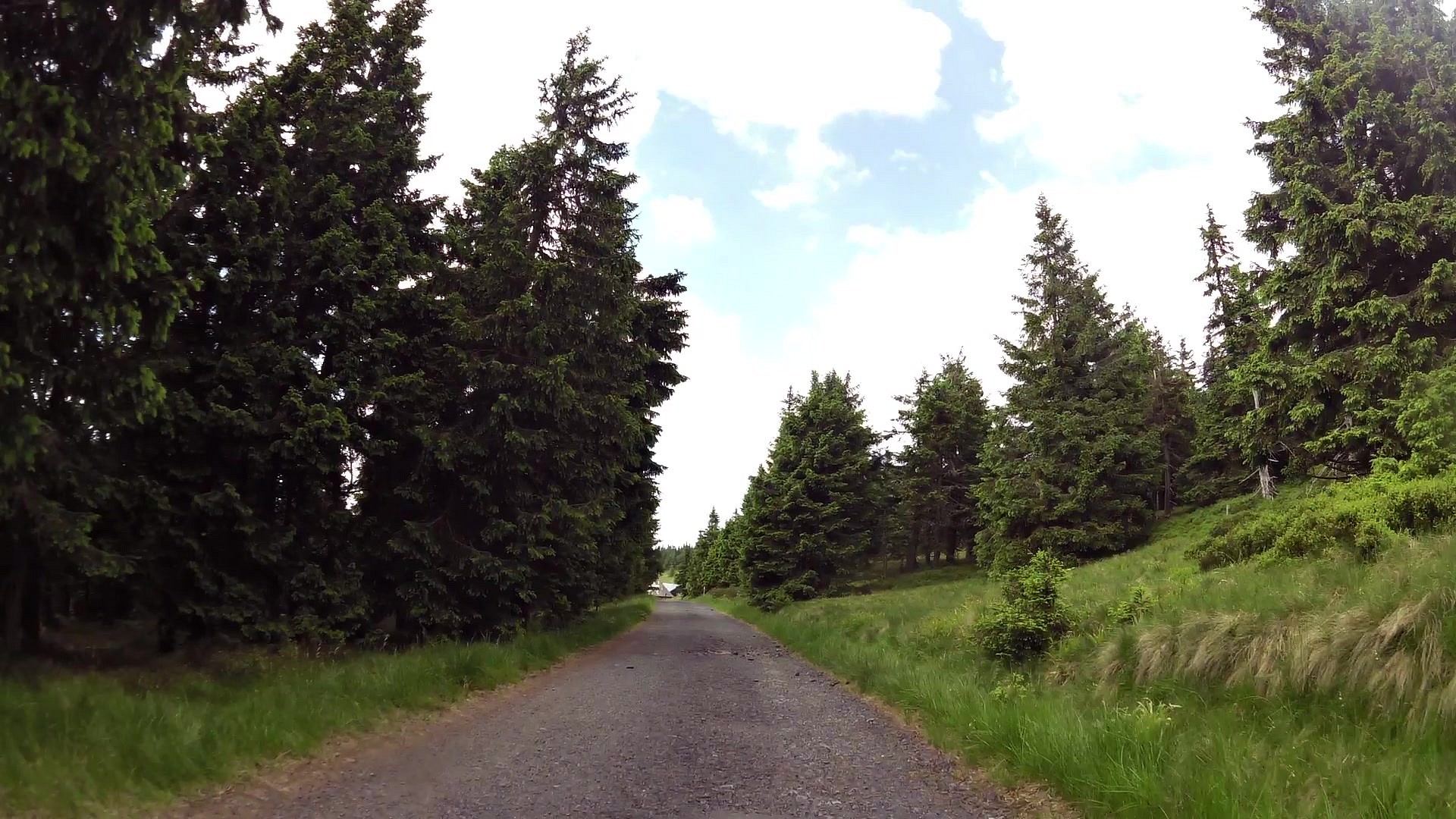
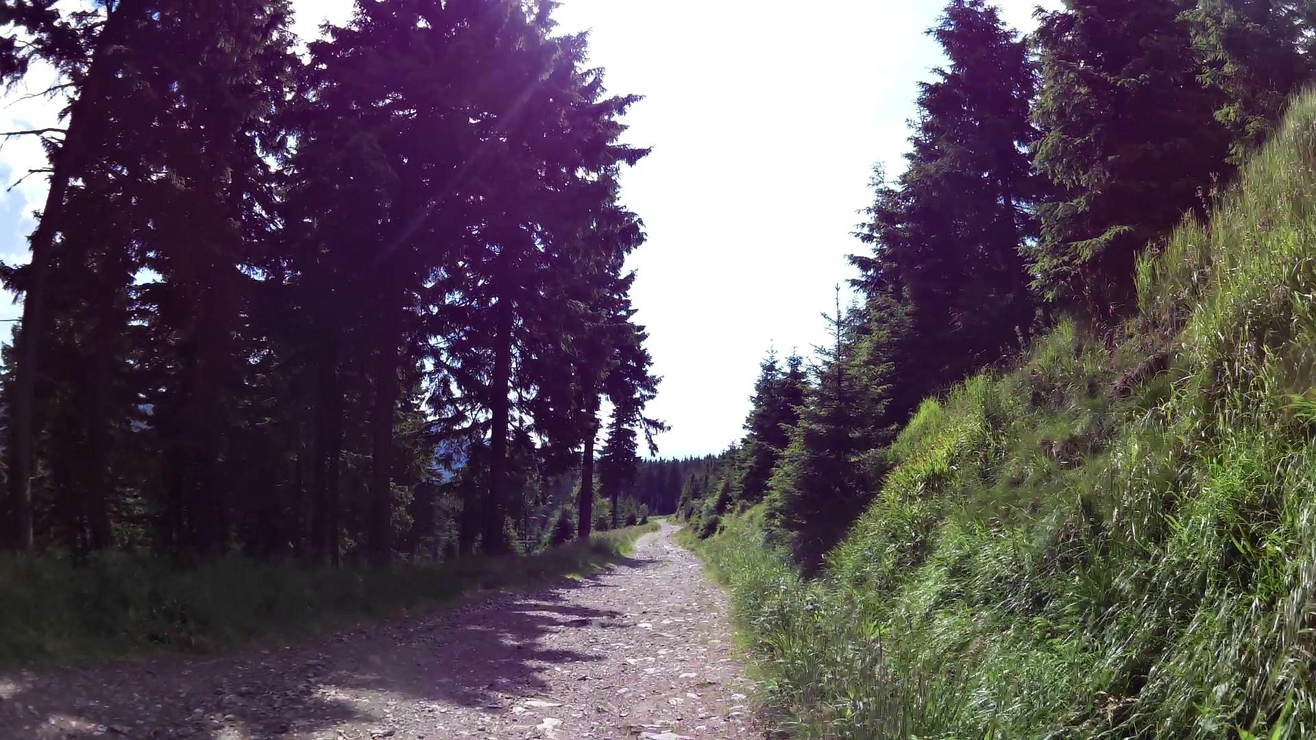
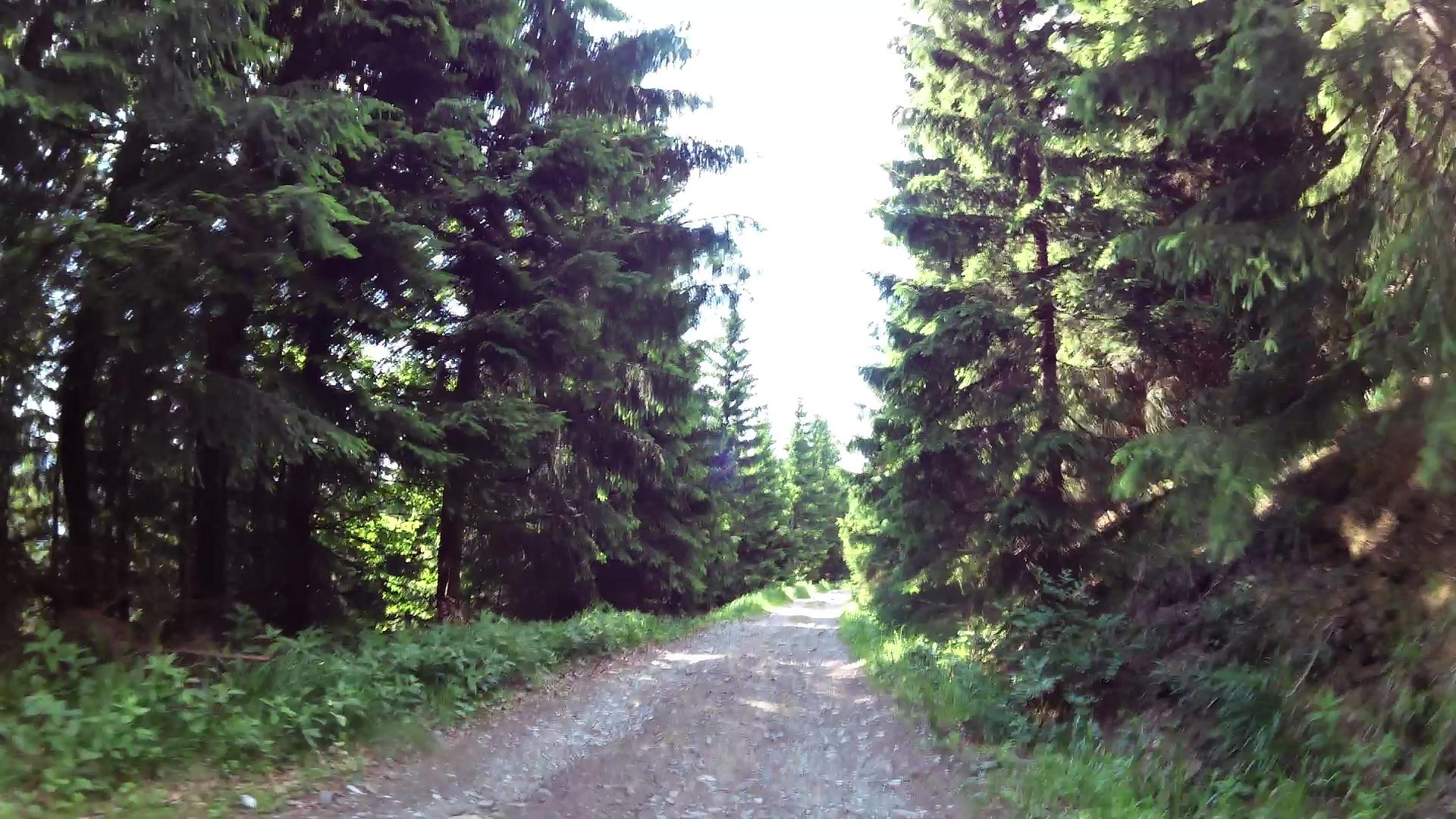
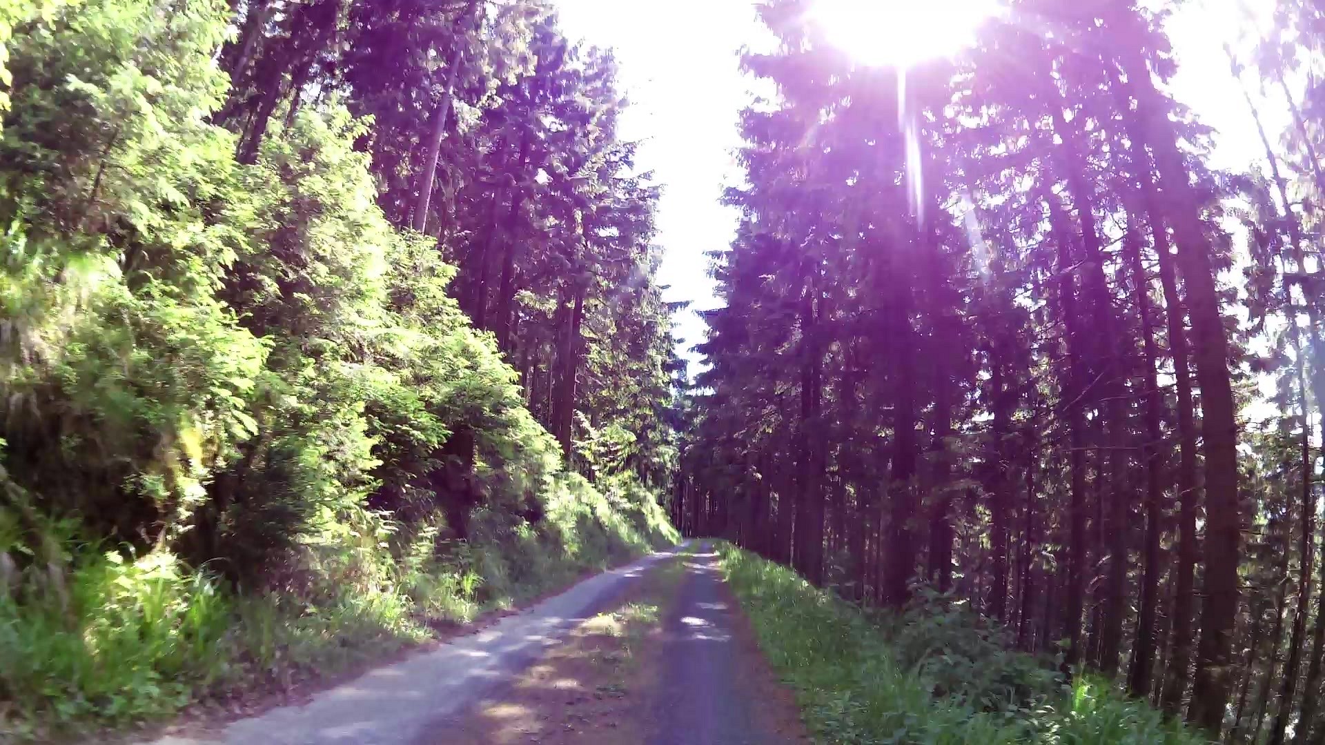
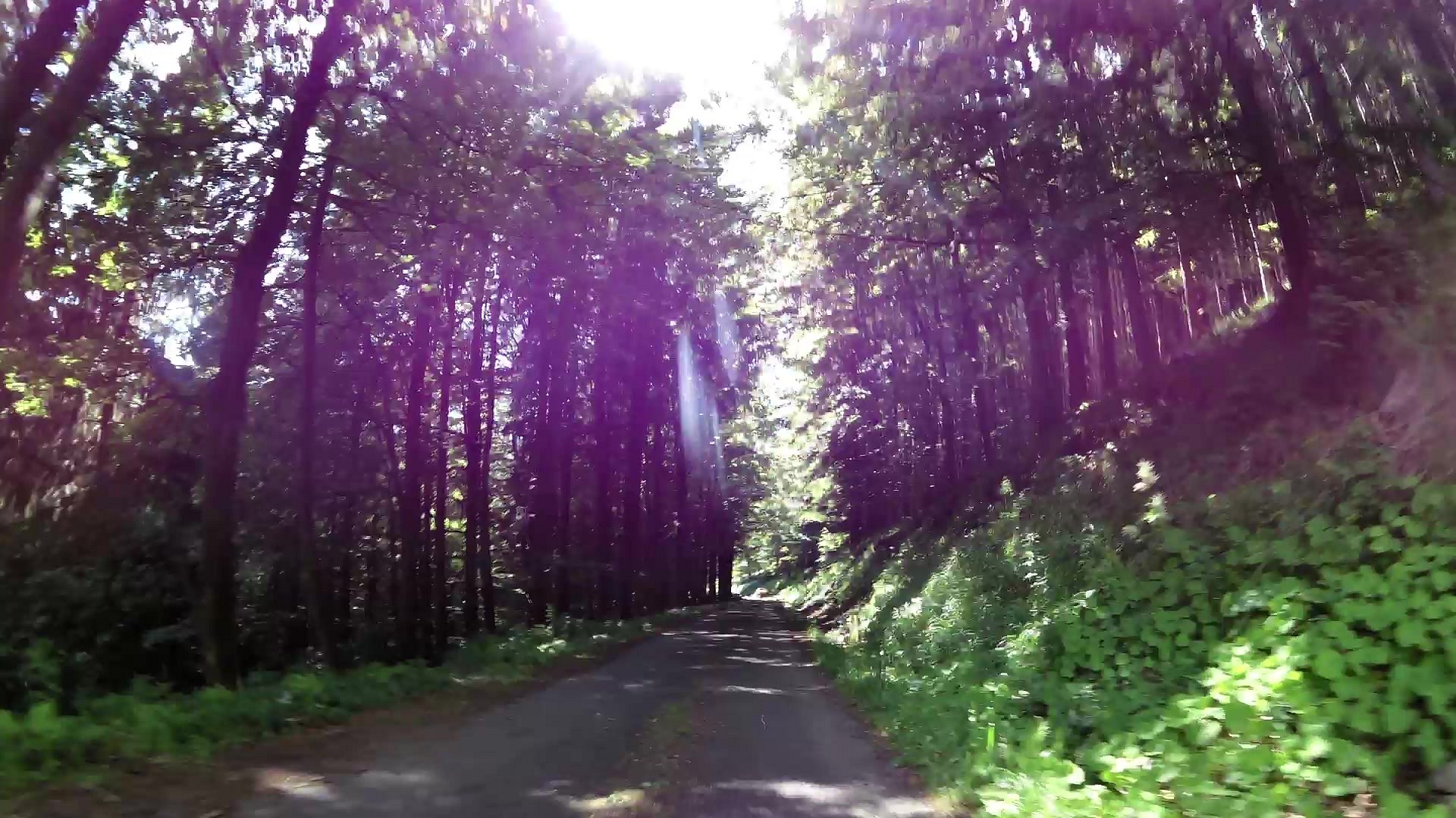
Cycling
difficulty:
Easy
length:
18.45km
total elevation:
229.90m
total descent:
884.80m
navigation:

| 0.00km from start |
18.45km to finish |
m elevation |
0m total elevation |
0m total descent |
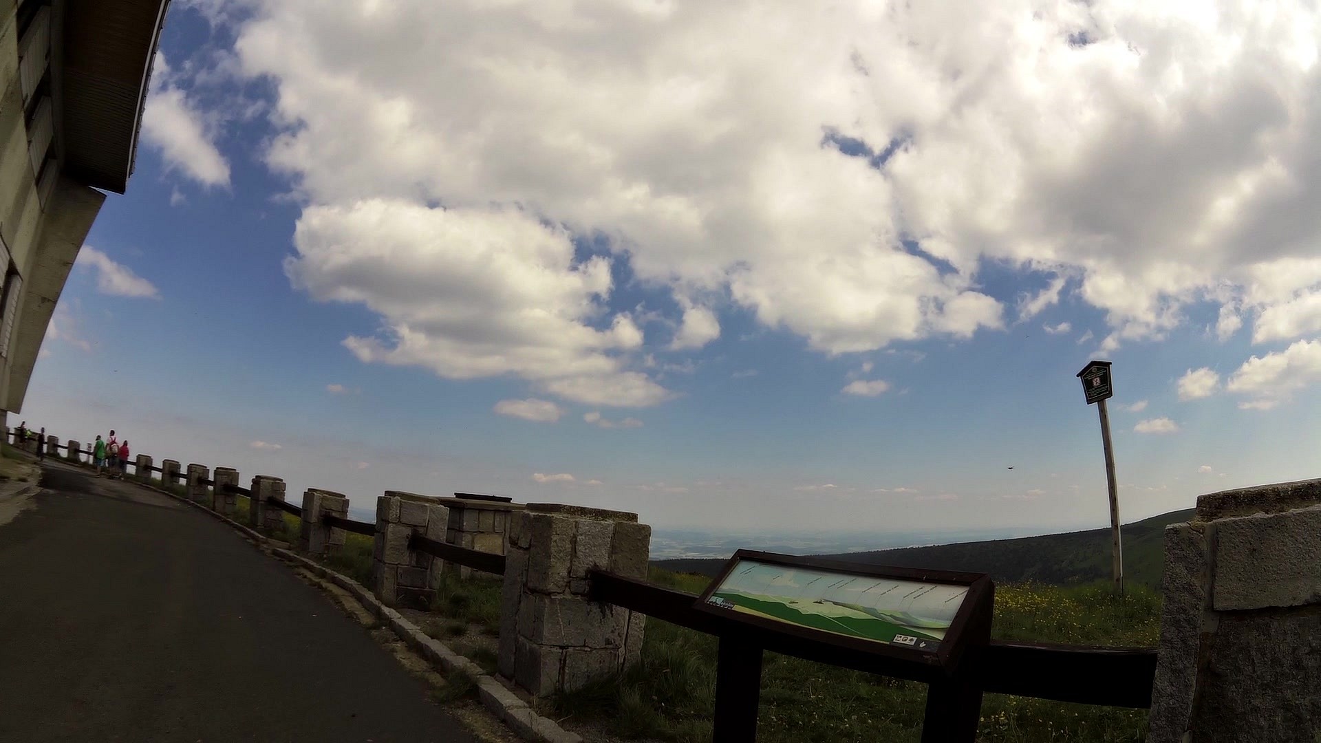
| Introductory stand Educational trail With dwarf around Praděd | map | video | |
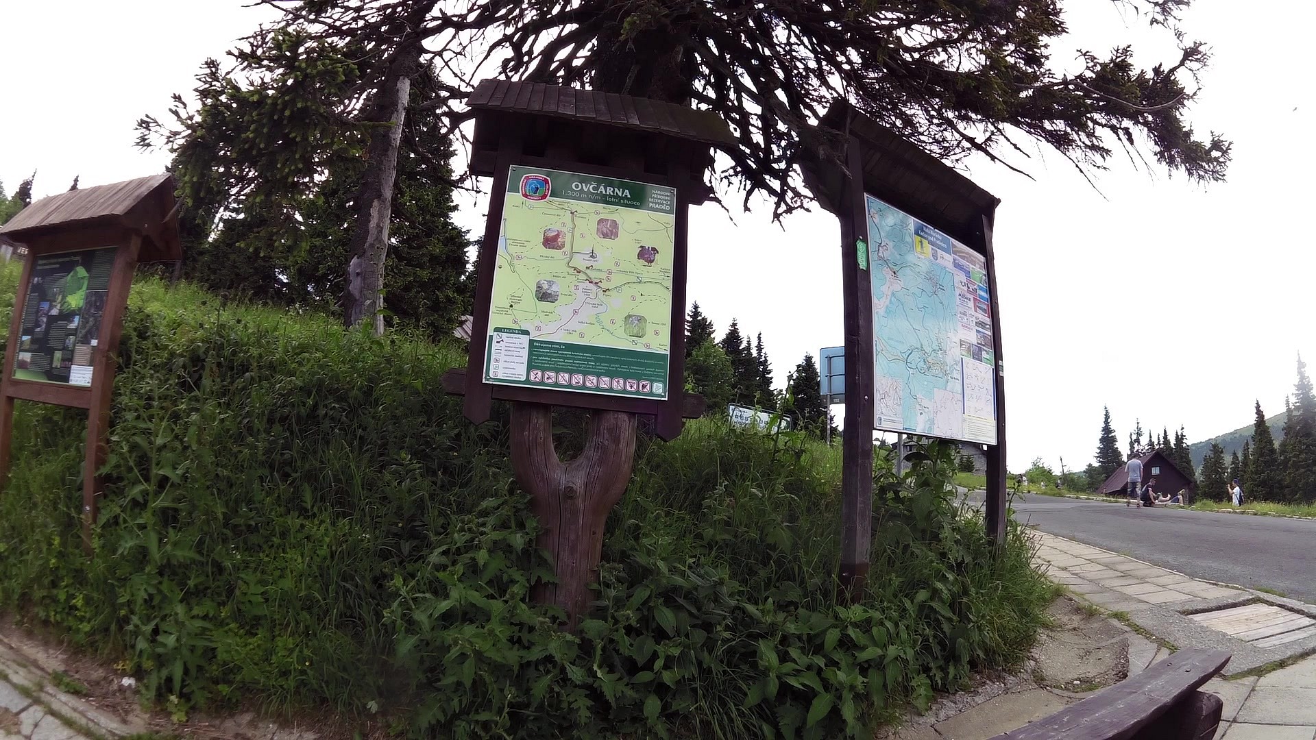
| Ovčárna (ski resort) | map | video | |
| In the footsteps of time | map | video | |
| Beautiful and dangerous mountains | map | video | |
| Cottage Barborka | map | video | |
| Mountain bearded decoration | map | video | |
| View on Peter's stones | map | video | |
| Who flutters in the wind | map | video | |
| Historical triple hoarstone | map | video | |
| Most highly at Morava | map | video | |
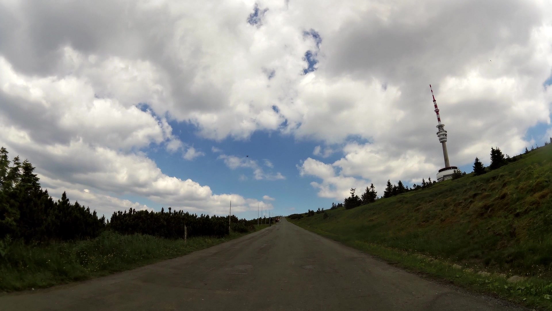
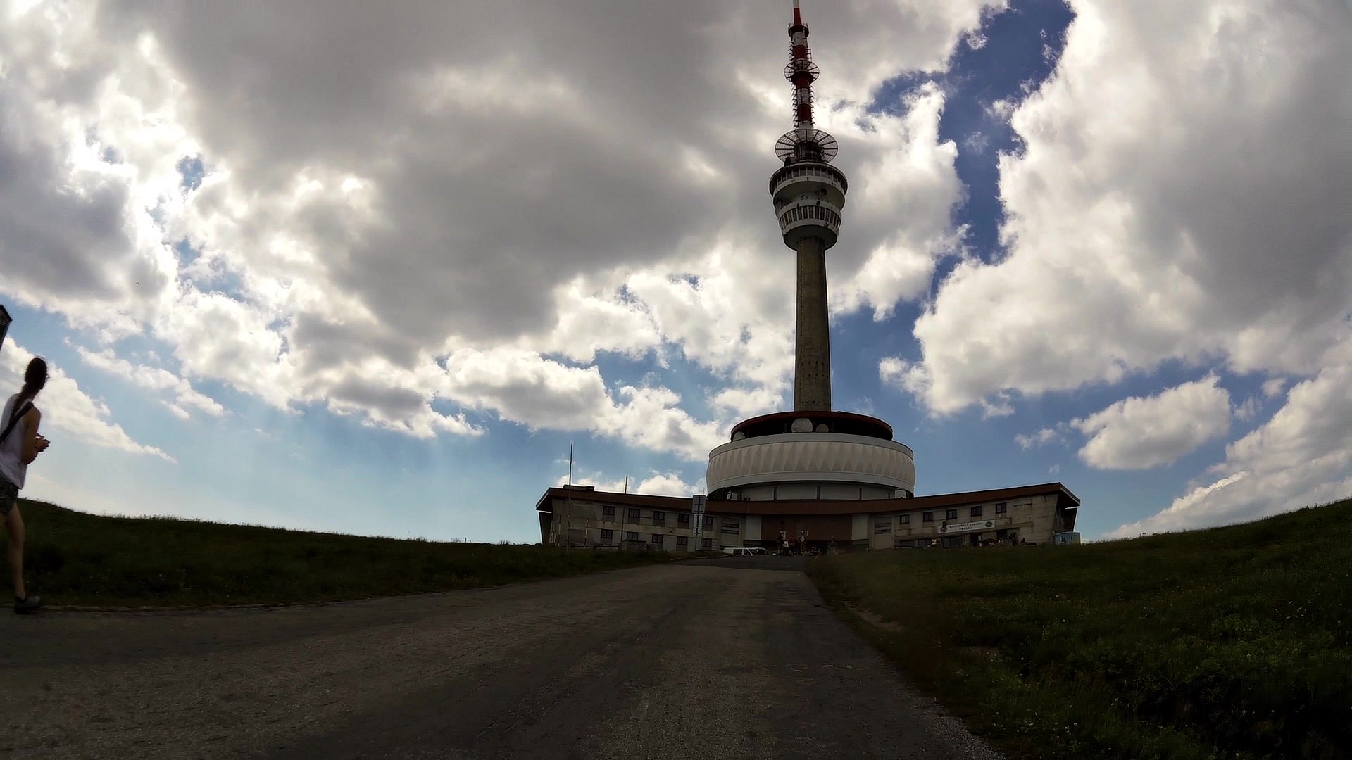
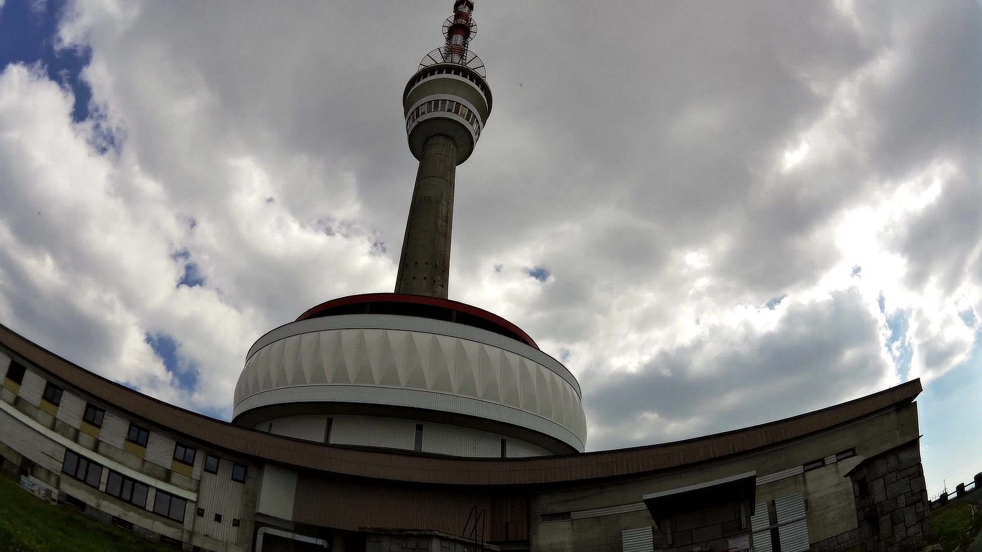
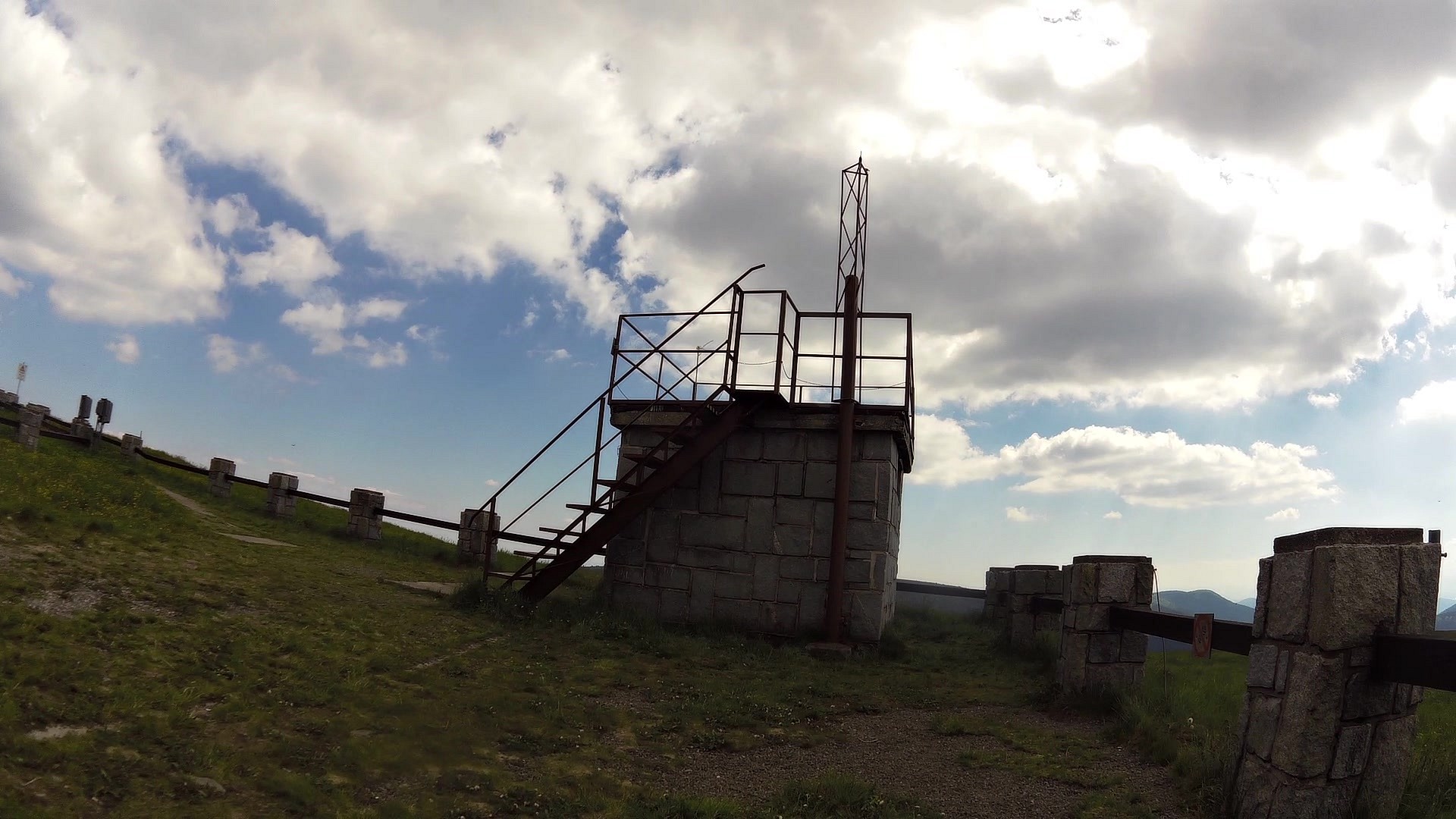
| Lookout tower Praděd | map | video | |
| Plate rocks | map | video | |
| Swiss shepherds, spotted cows and garlic house | map | video | |
| Tourist cottage Švýcárna | map | video | |
| Bell Tower at Švýcárna | map | video | |
| Kouty nad Desnou (village) | map | video |


![]() Back to the list of videoroutes
Back to the list of videoroutes


