like:
type:
Walking tour
difficulty:
Easy
length:
1.15km
total elevation:
71.30m
total descent:
16.70m
navigation:

| 0.00km from start |
1.15km to finish |
m elevation |
0m total elevation |
0m total descent |
| A pond | map | video | |
| Maverick rock | map | video |
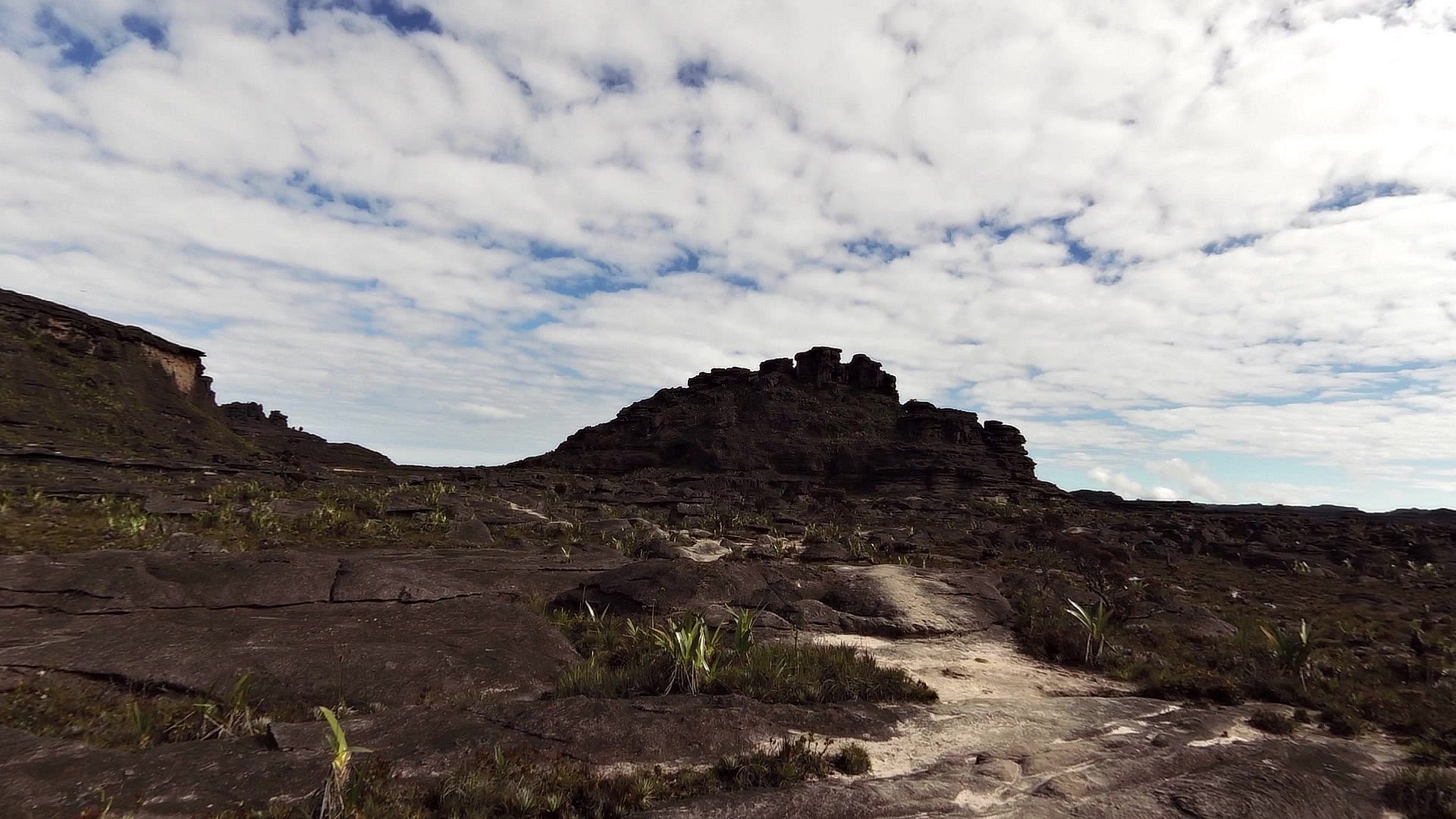
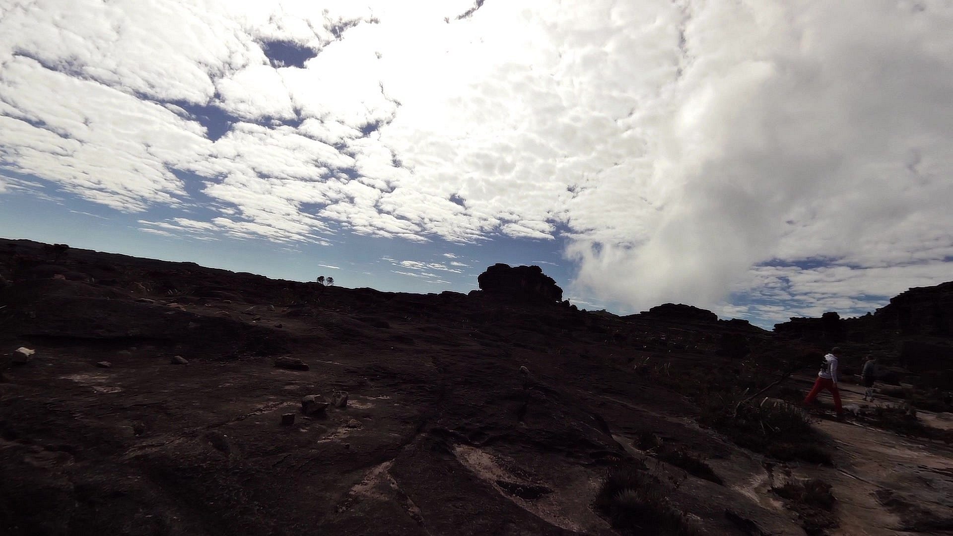
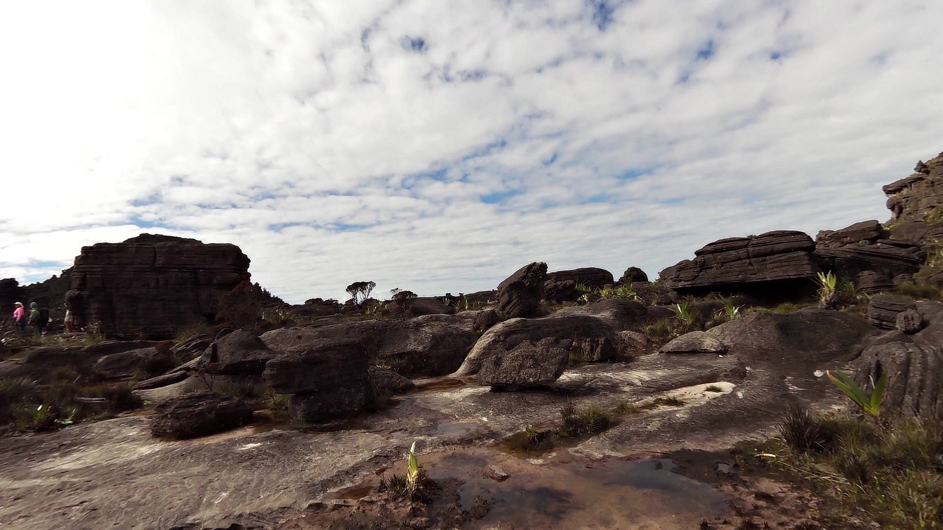
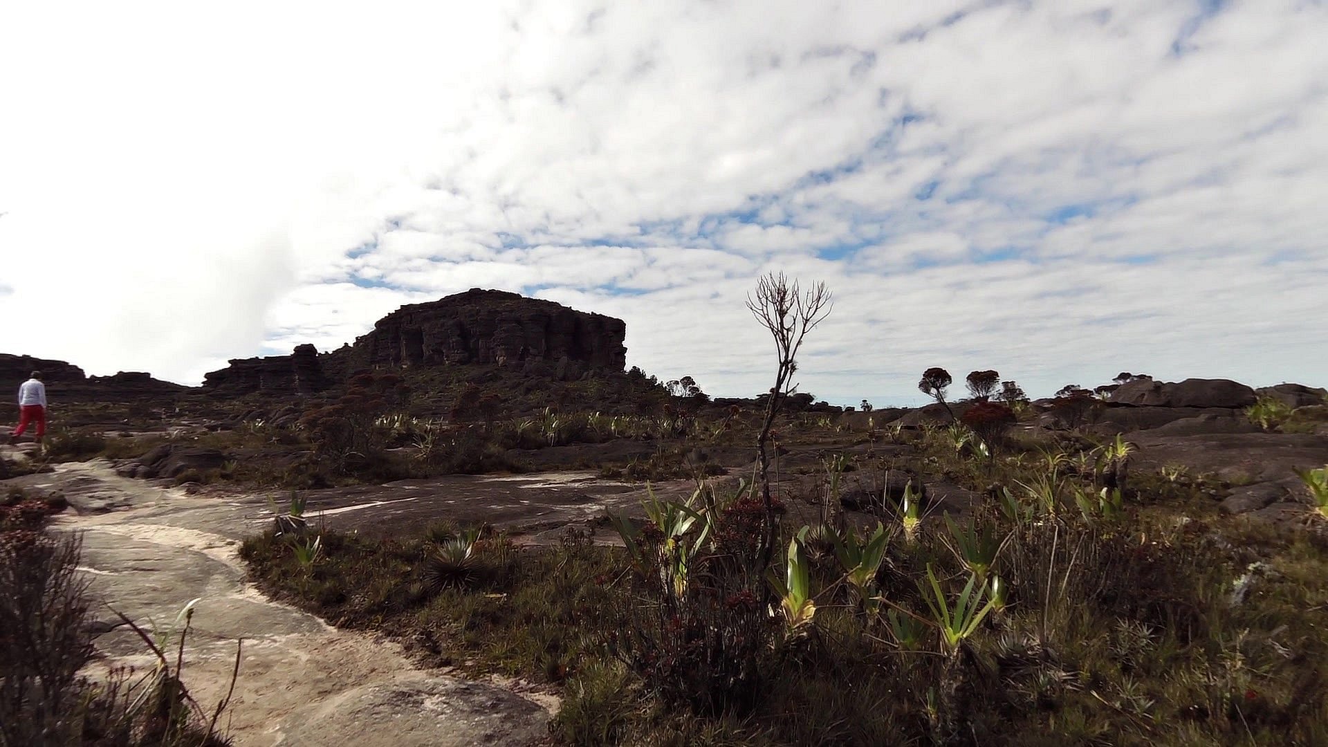
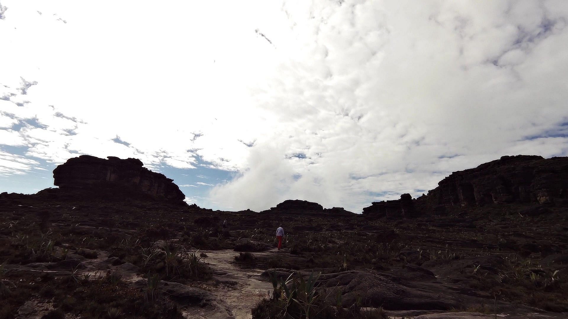
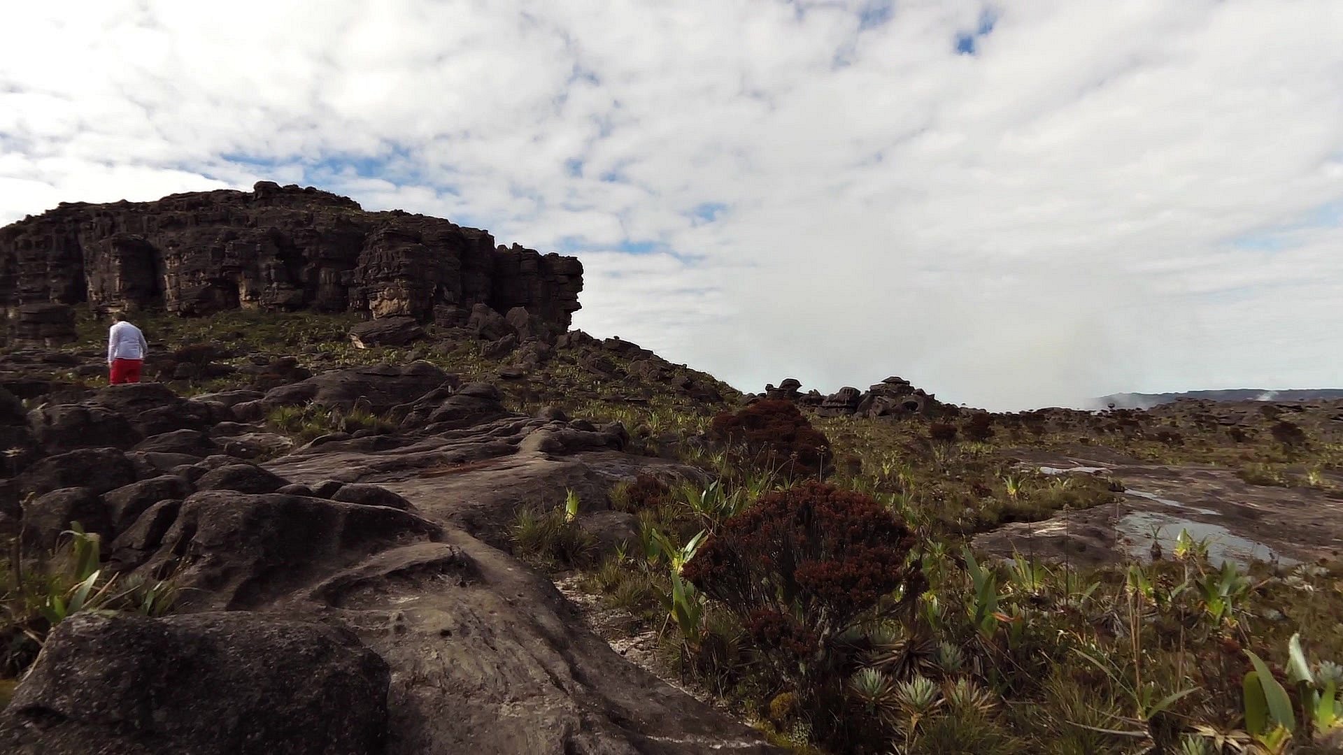
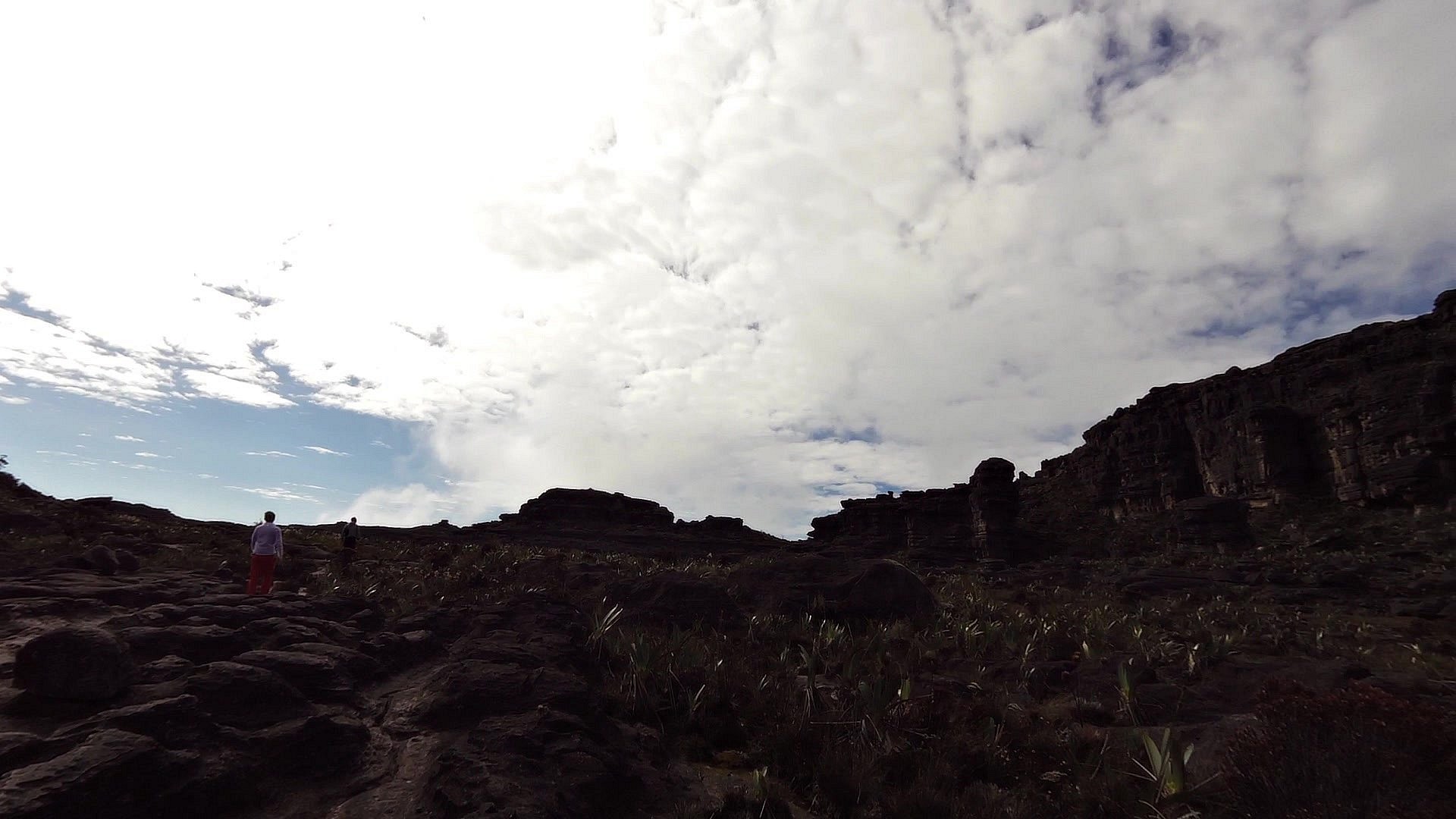
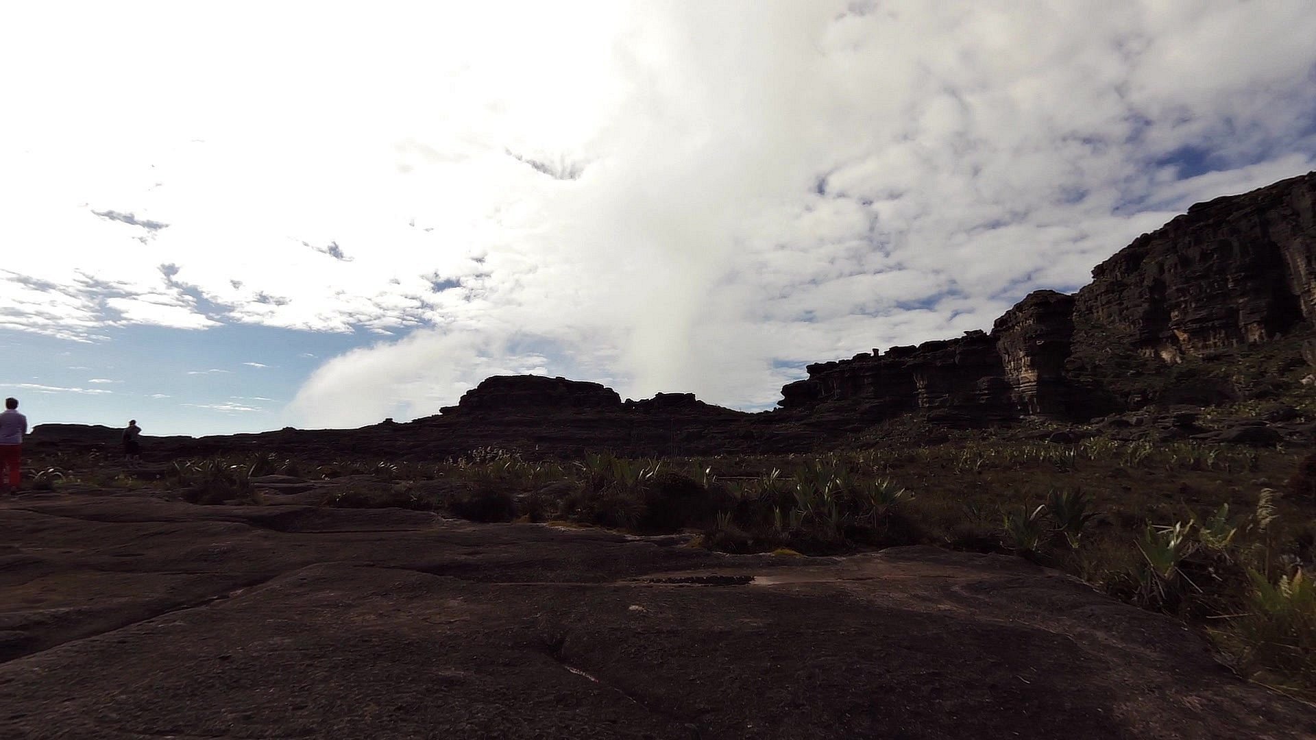
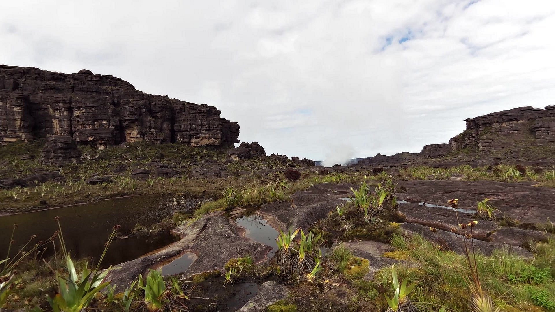
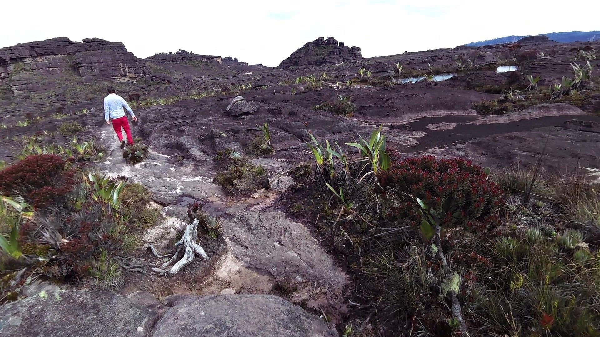
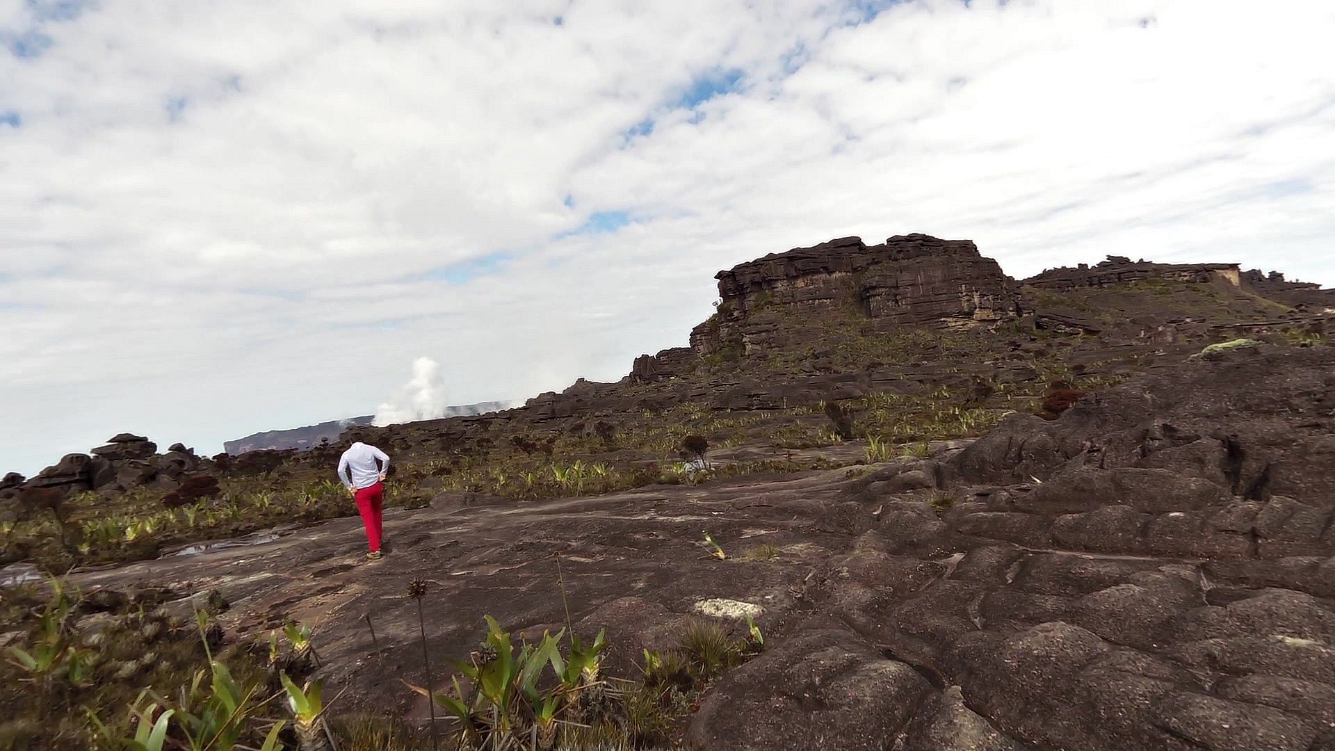
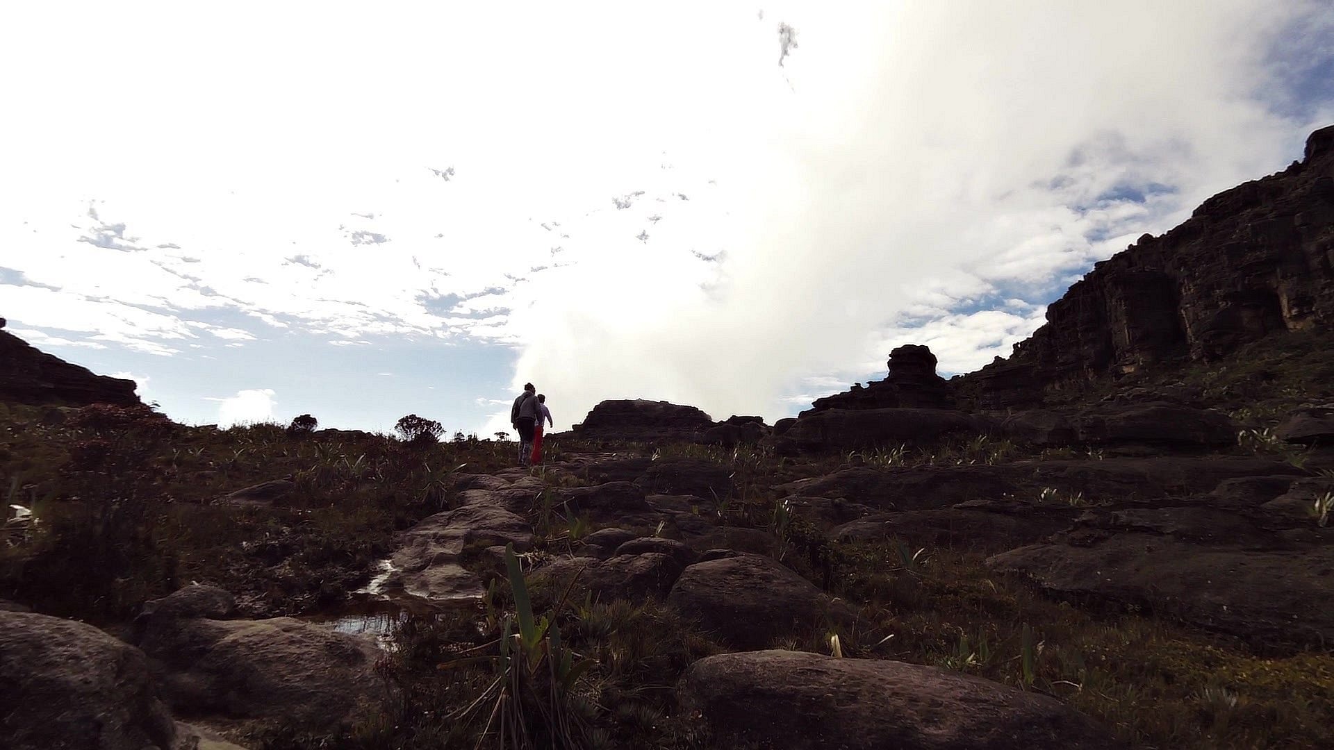
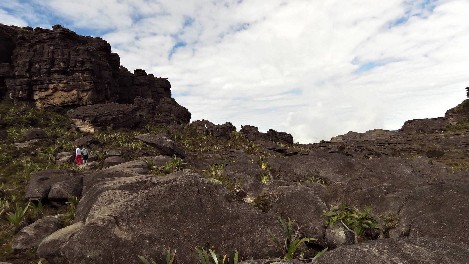
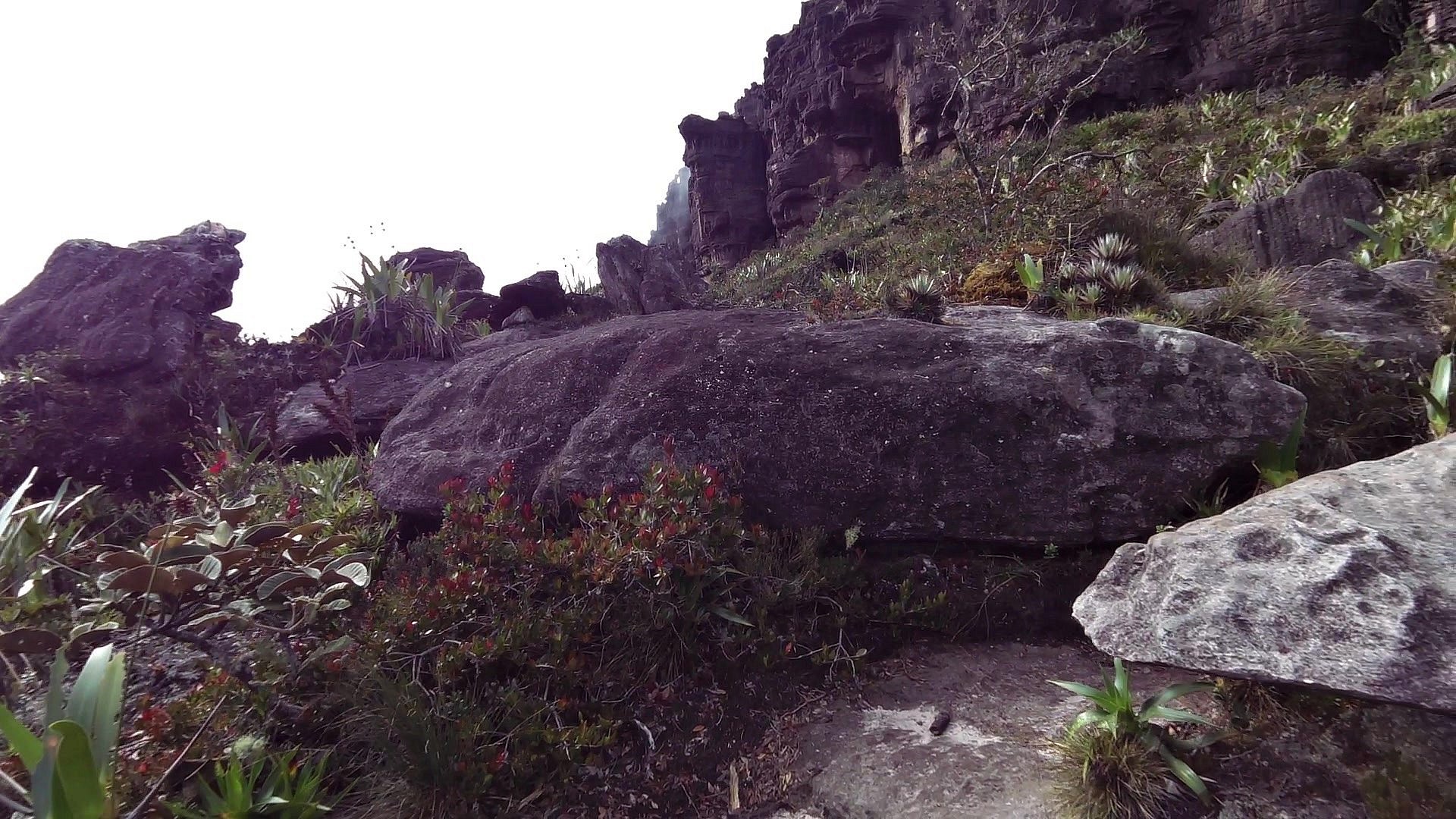
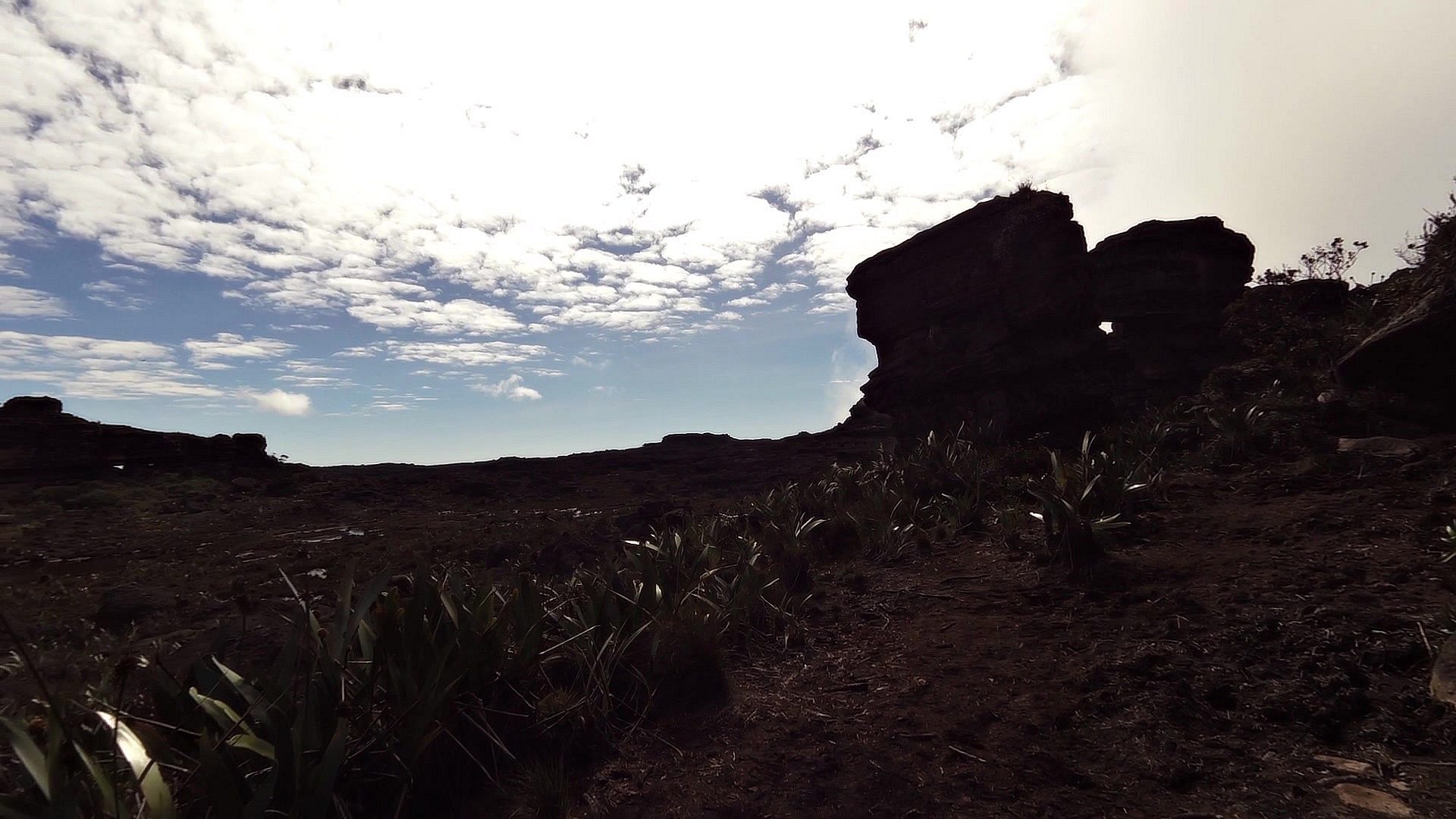
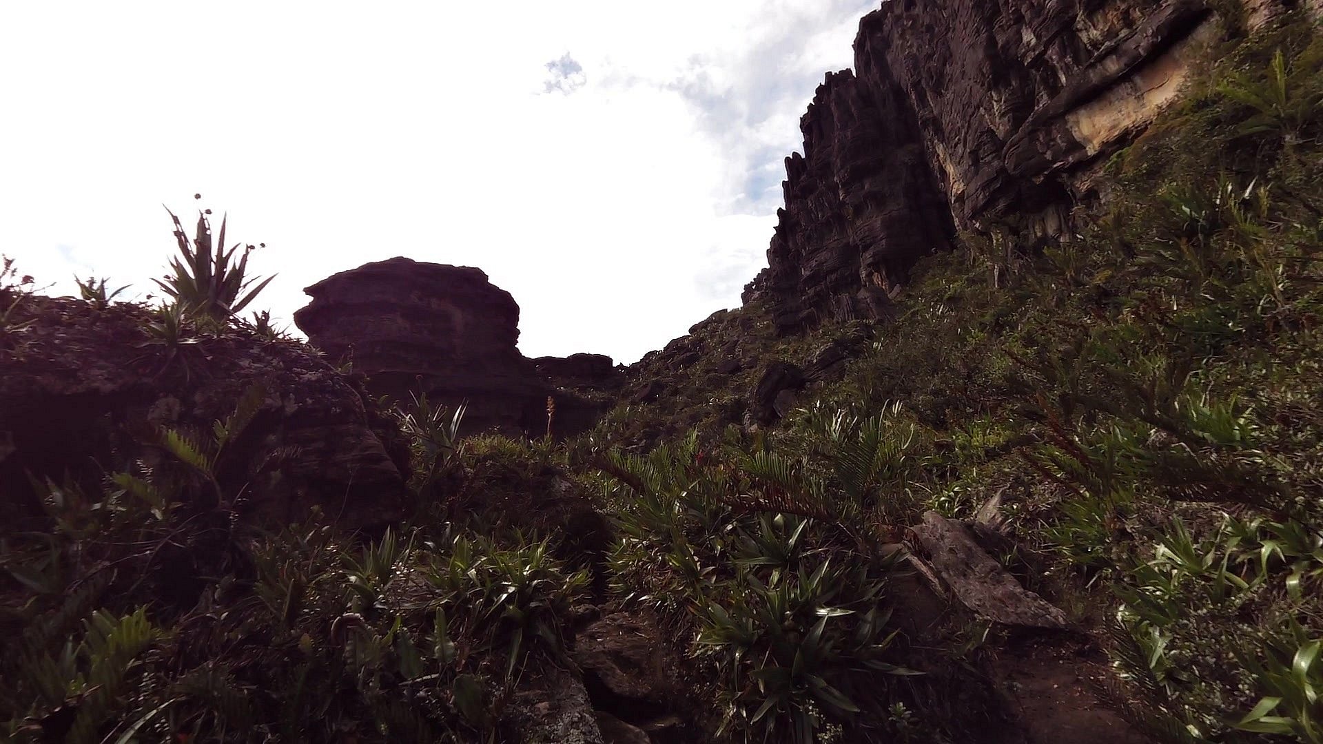
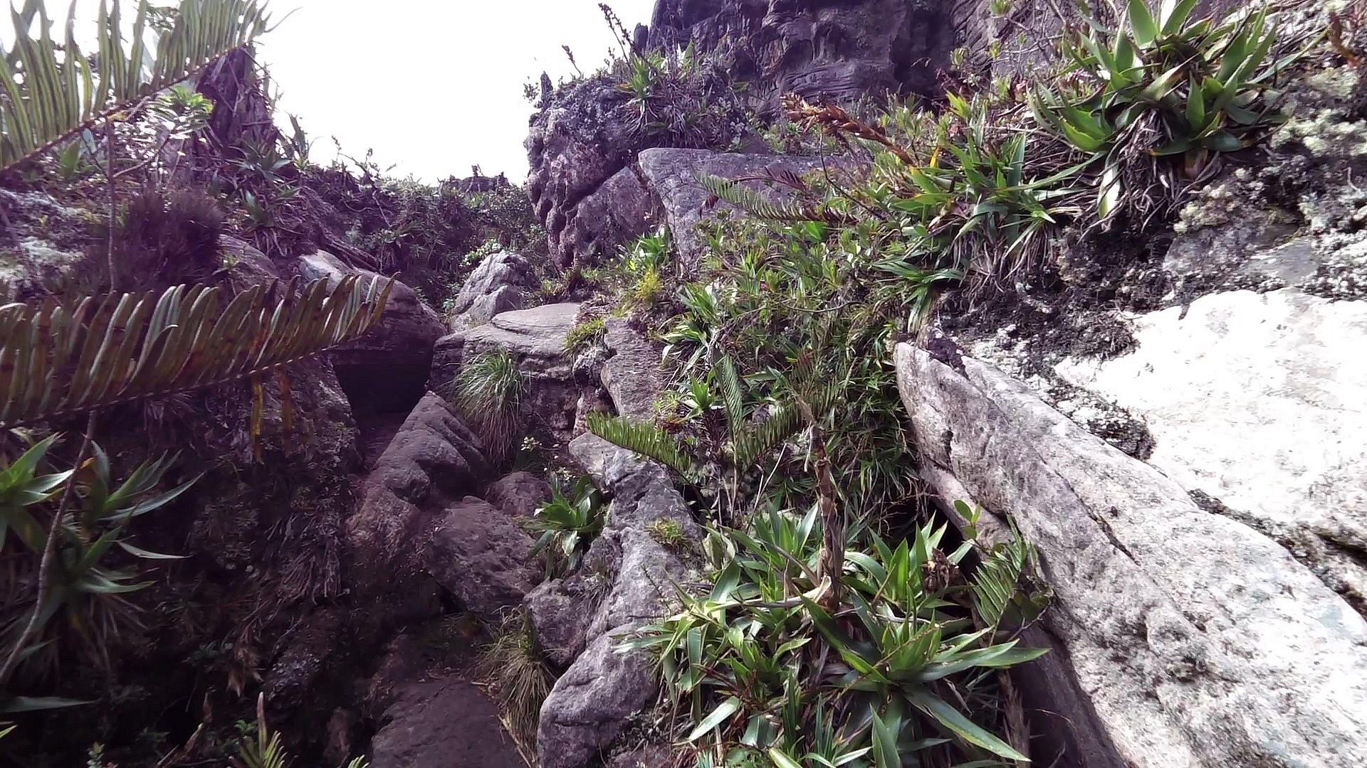
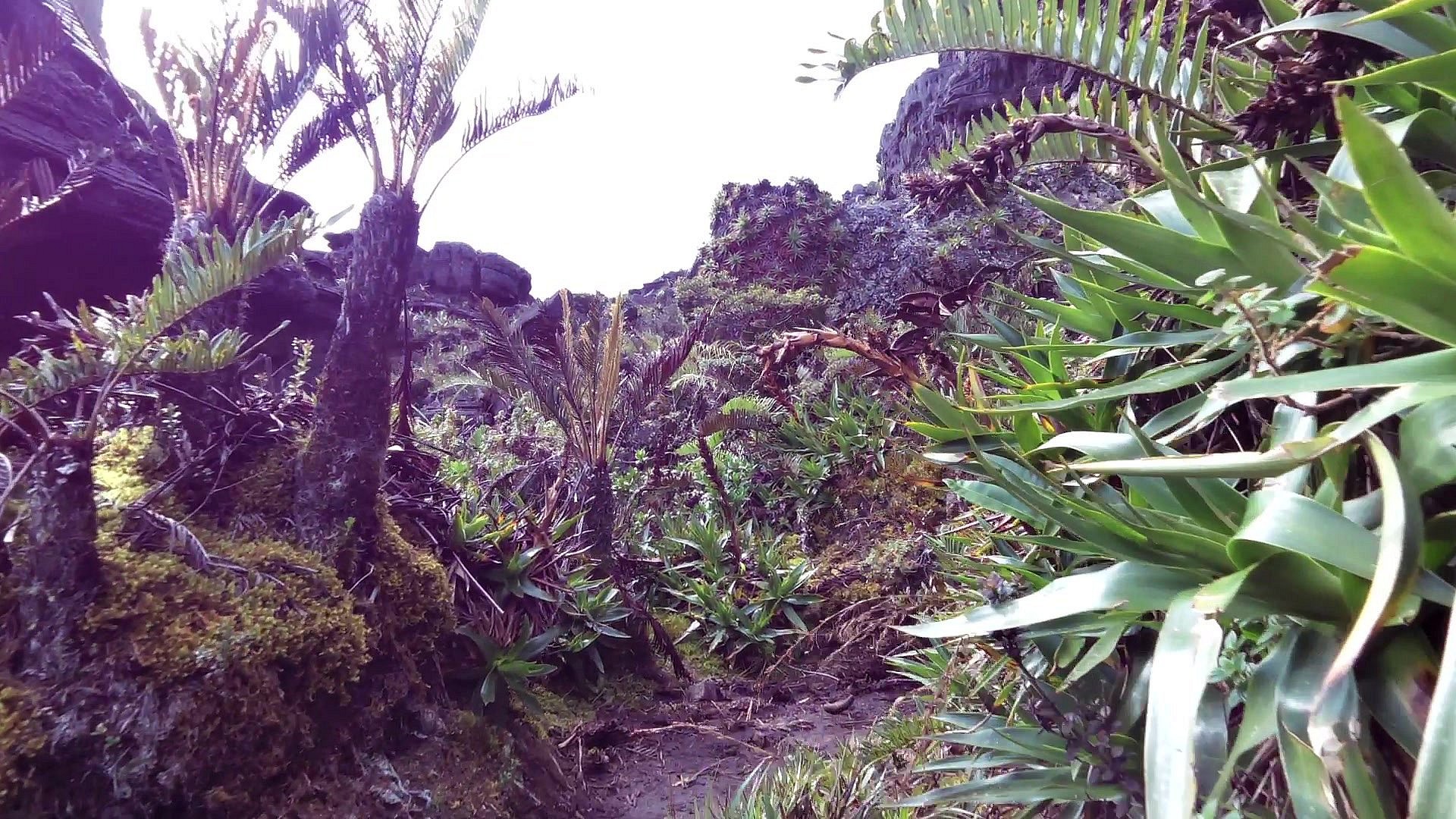
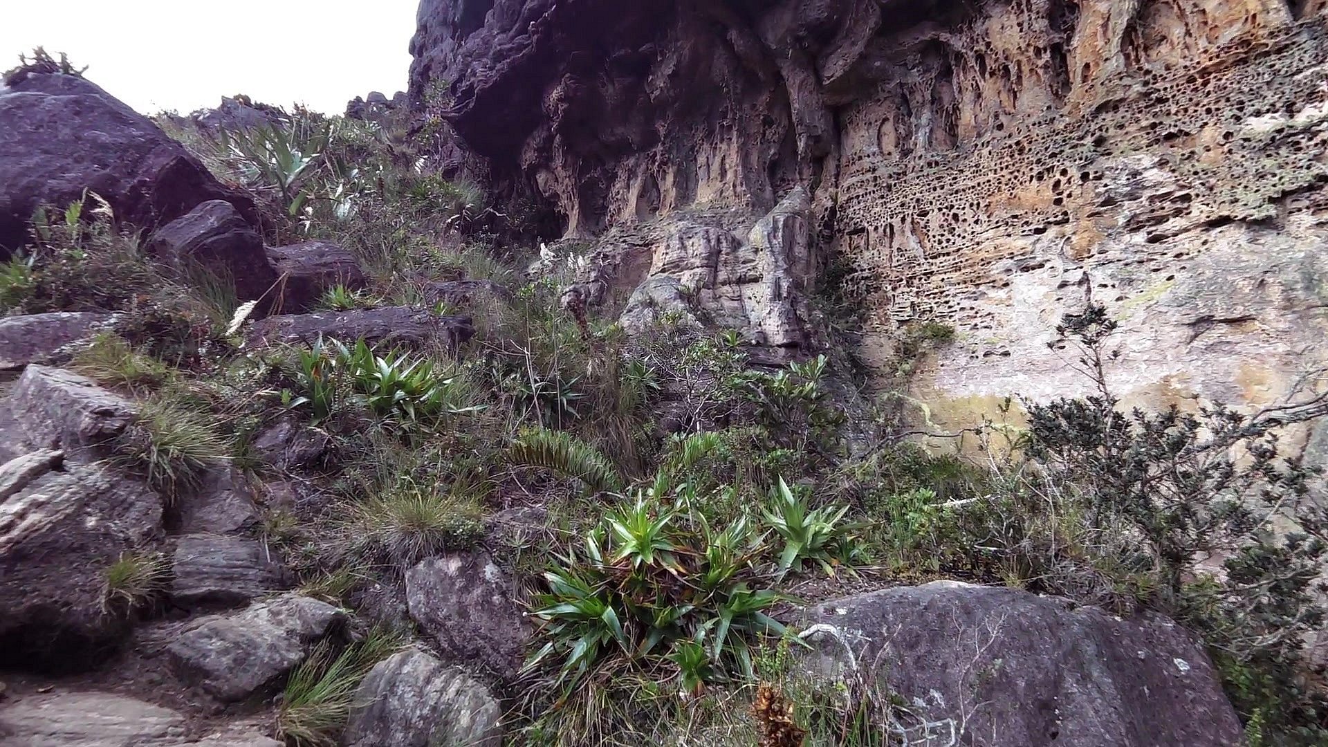
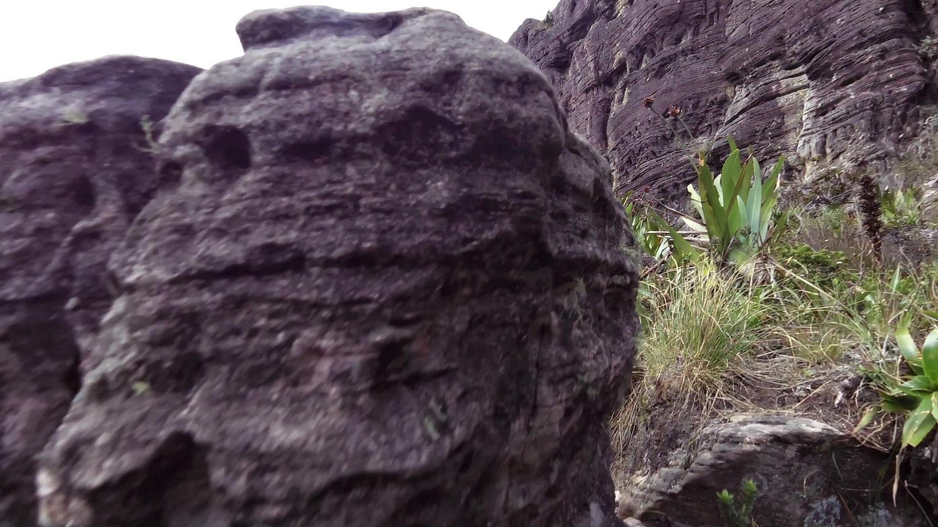
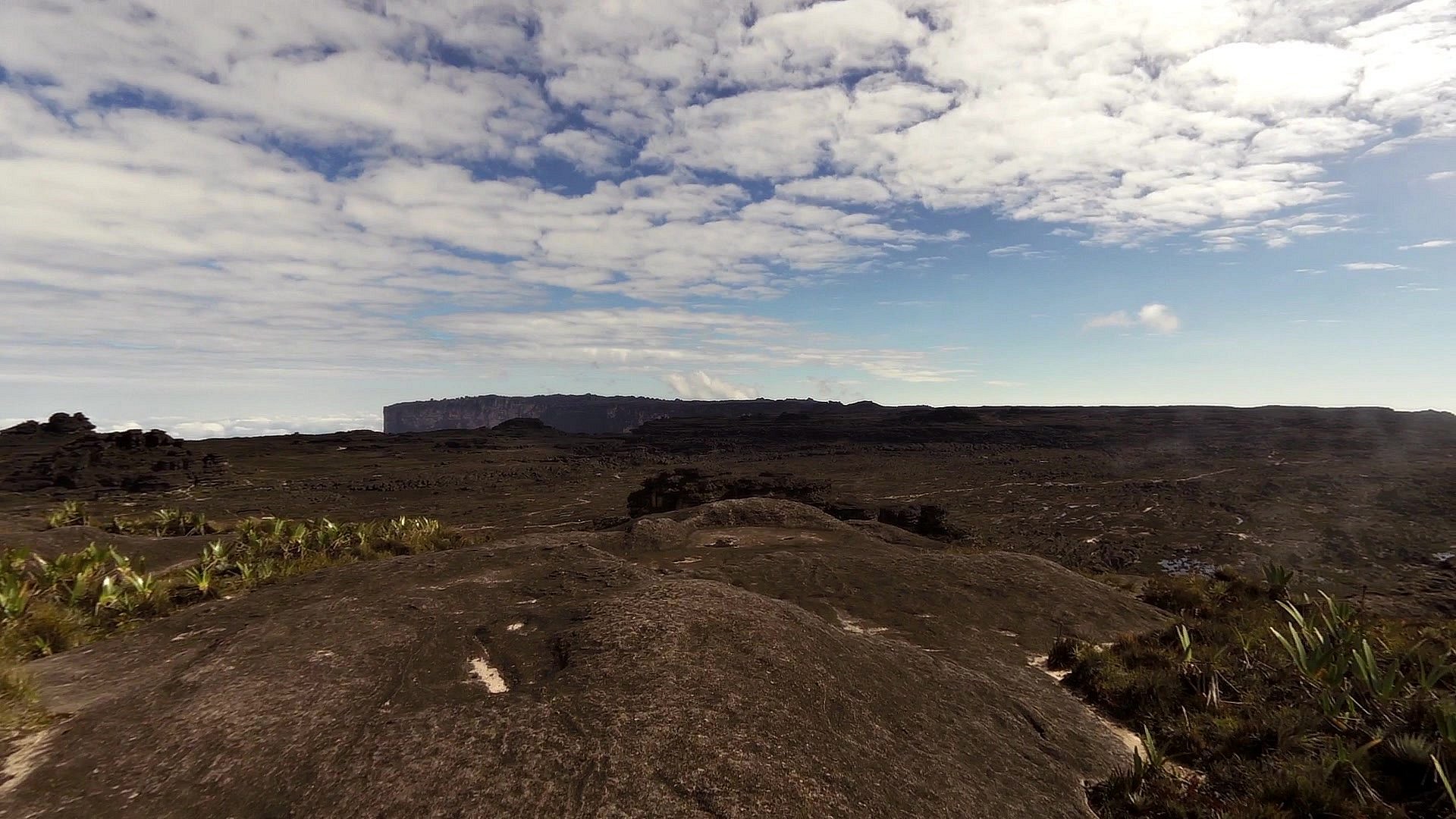
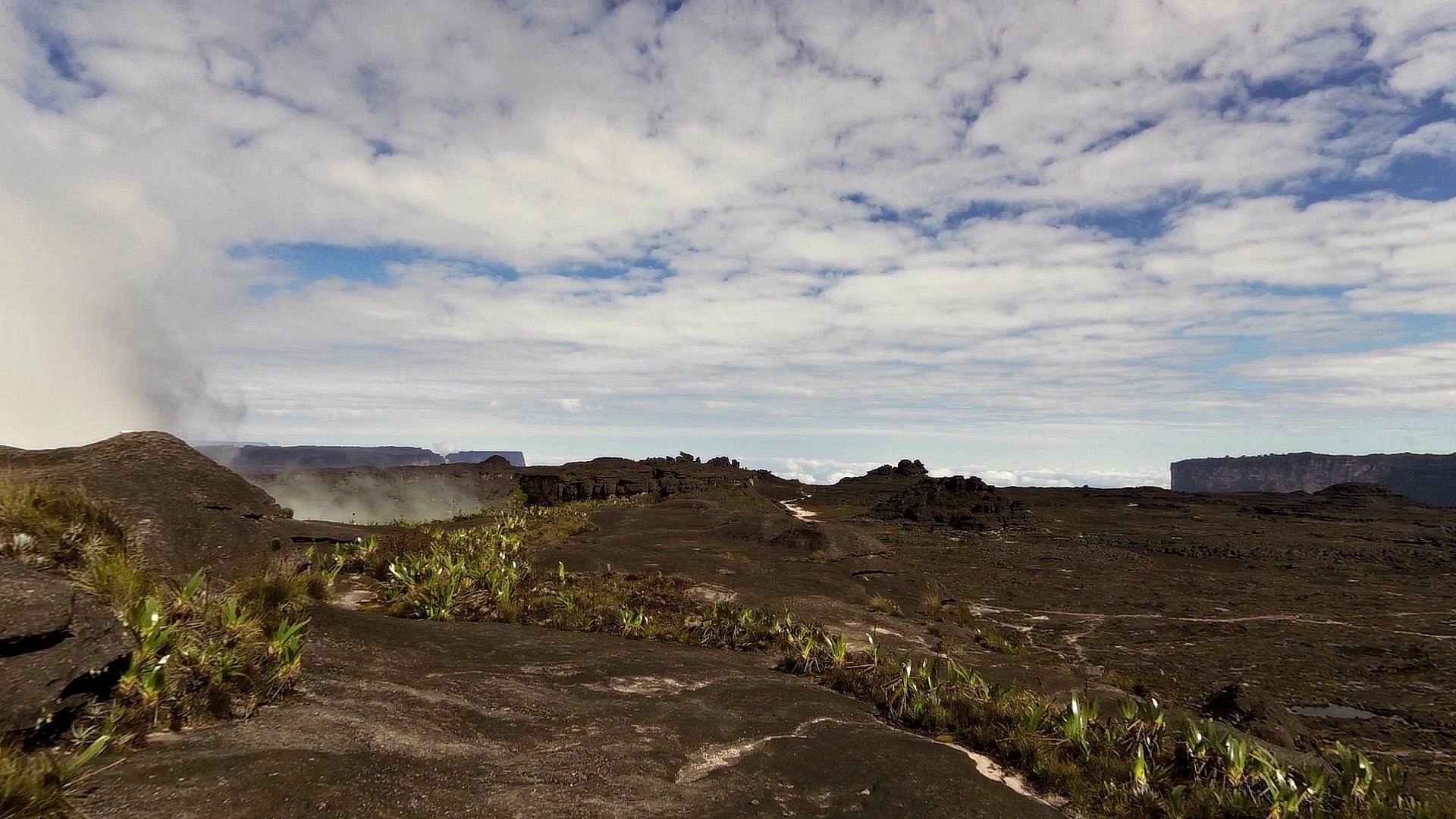
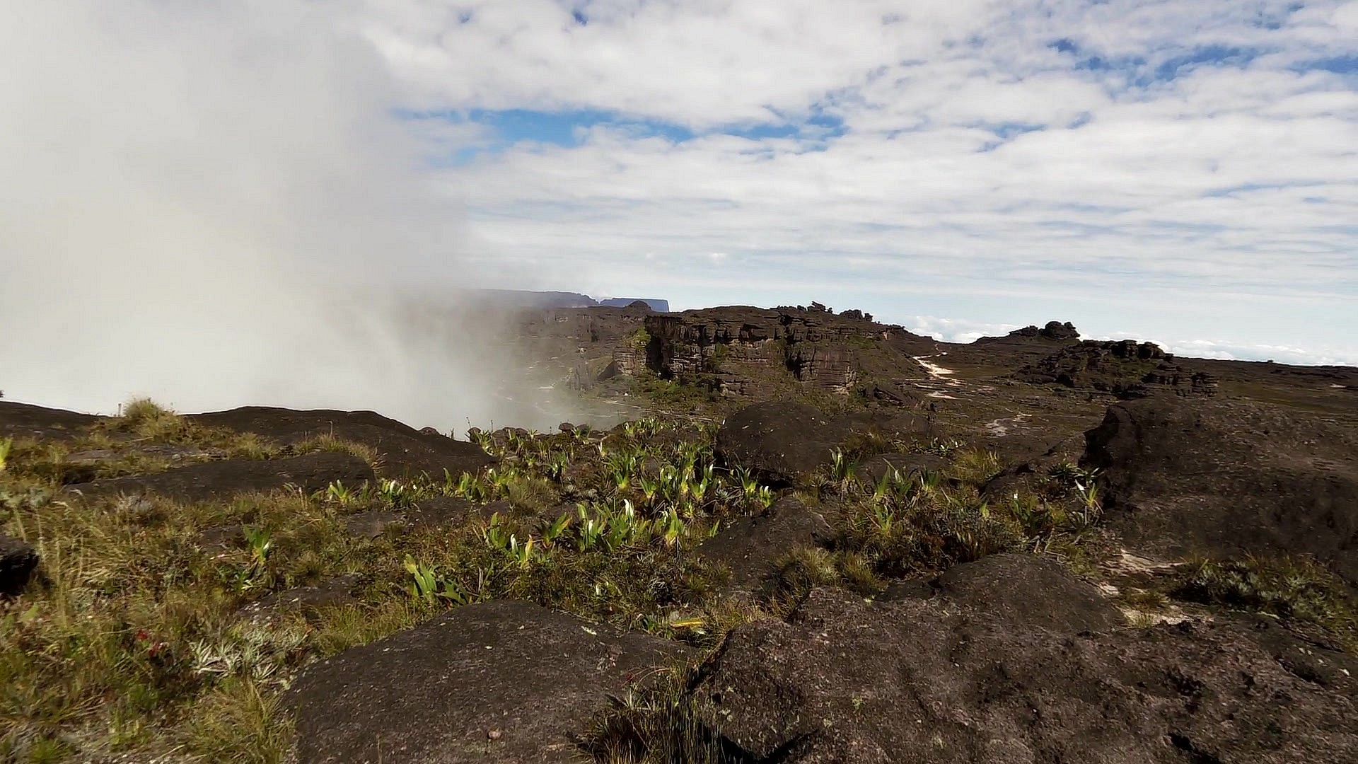
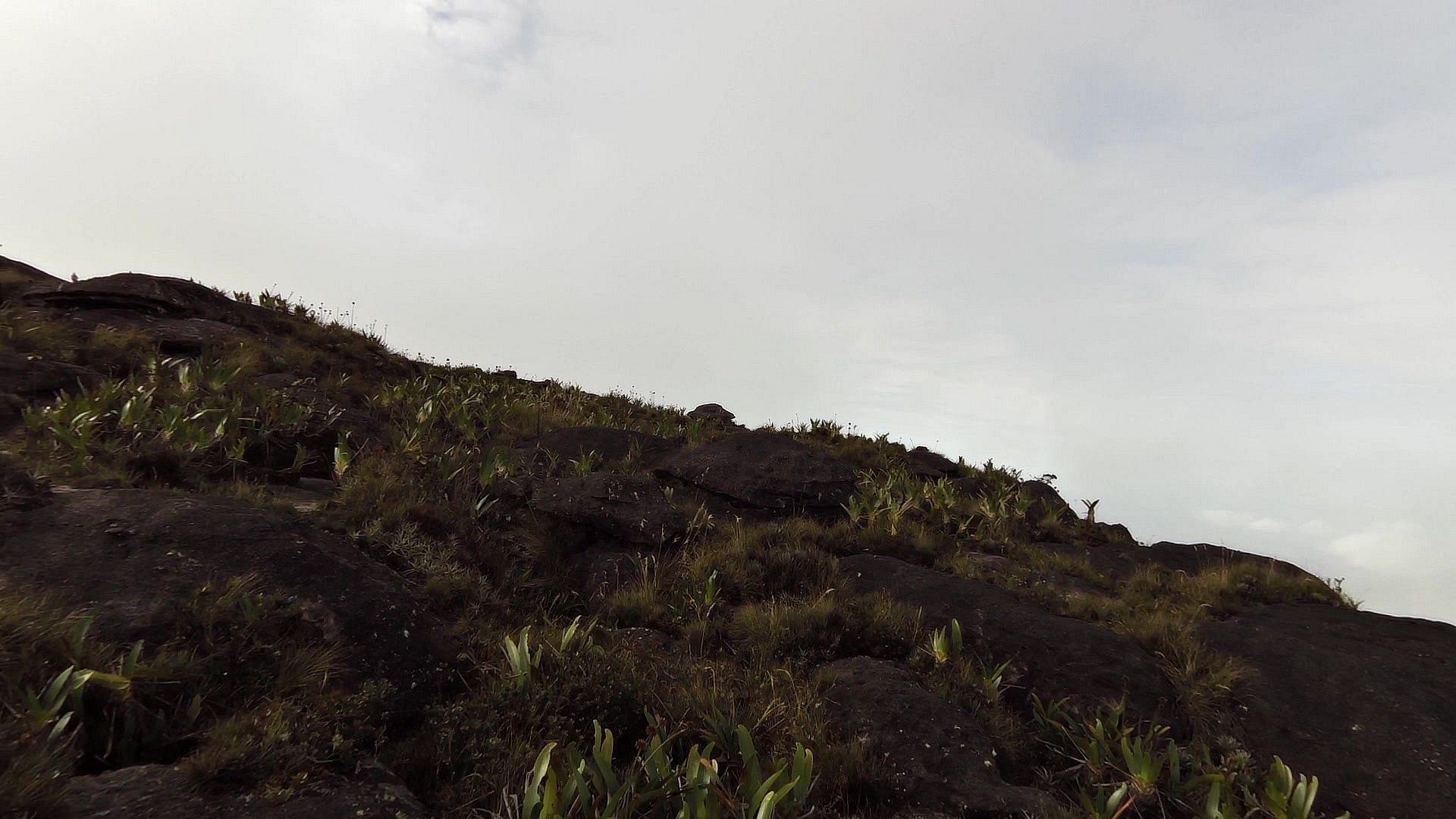
To the highest point of Roraima - Maverick Rock
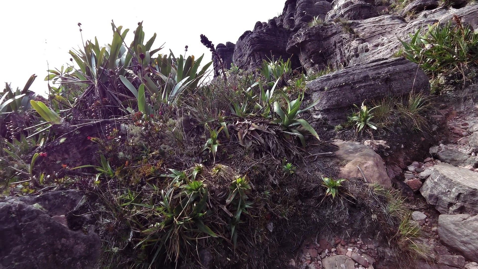
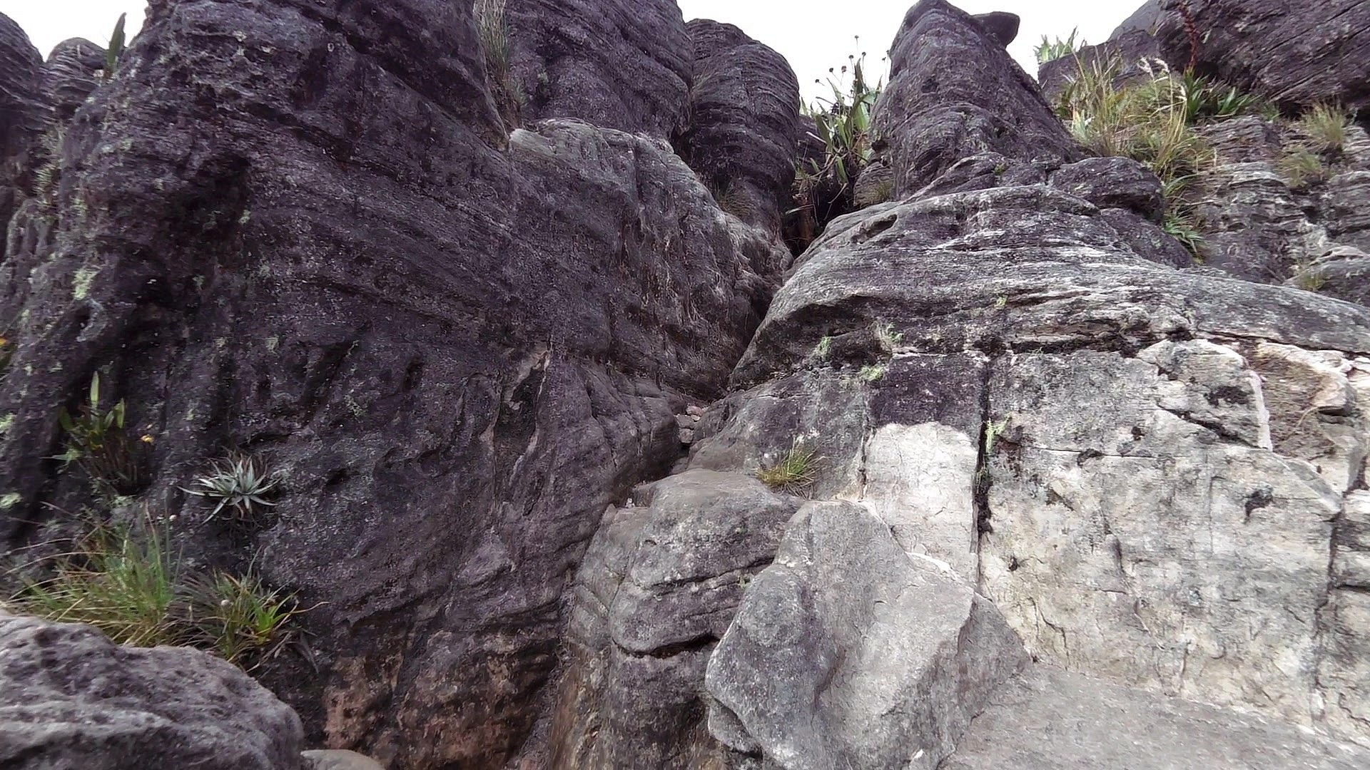
Roraima is the highest of the table mountains which are also known by the name of Tepui and cover 50 square kilometers in South America on the border of the states of Venezuela, Guyana and Brazil.
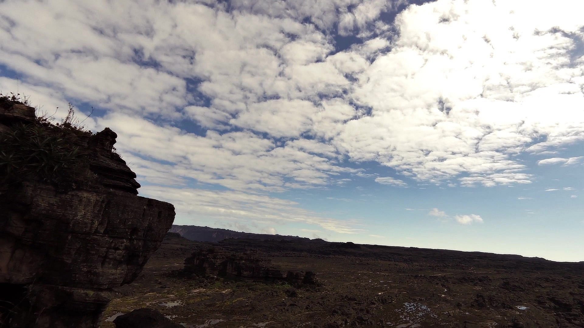
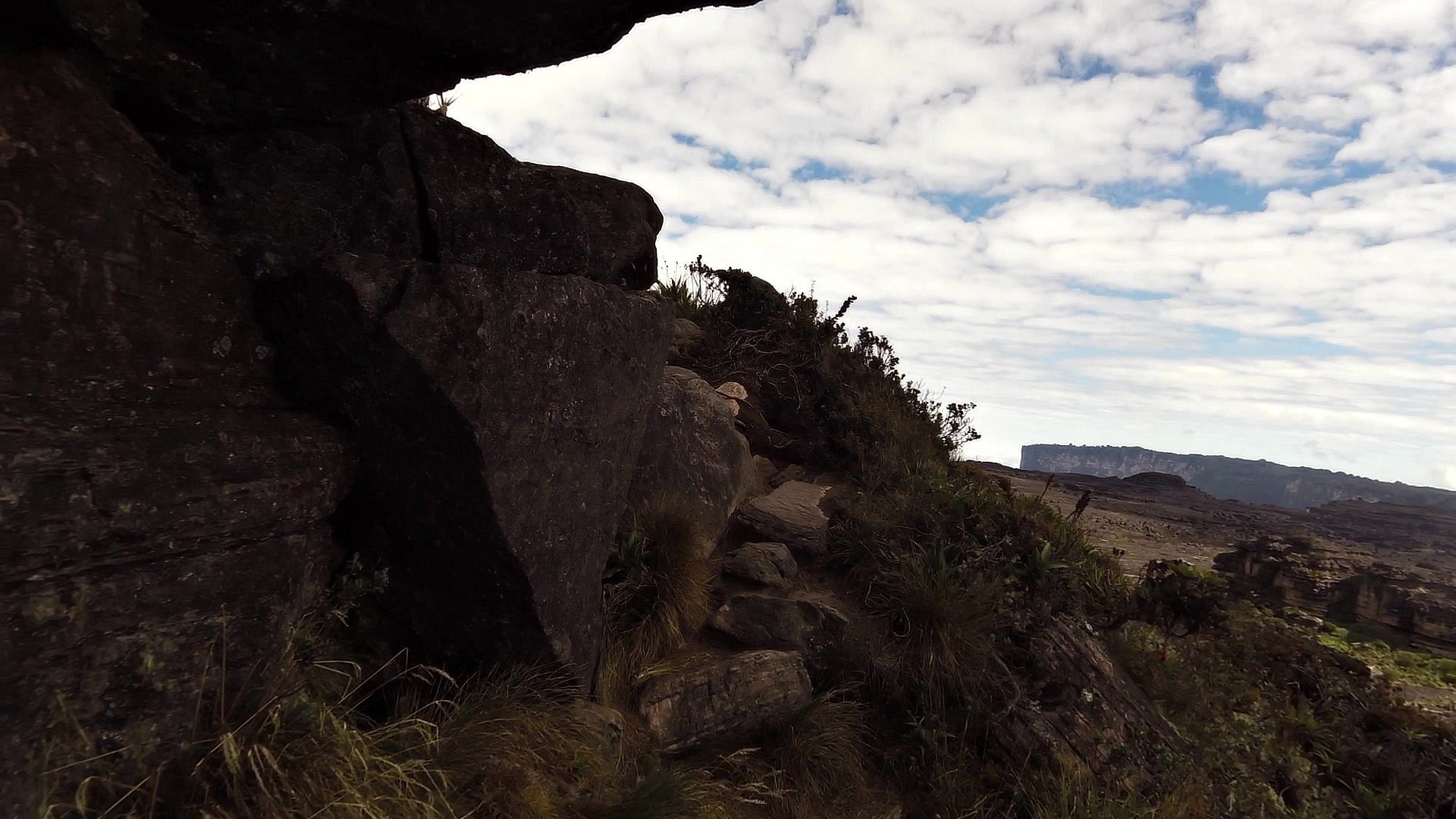
The highest point of Roraima is called Maverick rock and lies at an altitude of 2,810 meters above sea level. The hike from the top of Roraima to Maverick (the highest point) is undemanding and it is a simple hike. If you are lucky with the weather and there is no fog at the top, a beautiful view of the Table Mountains and part of the Guyana Amazon will open up in front of you.


![]() Back to the list of videoroutes
Back to the list of videoroutes


")


