like:
type:
Walking tour
difficulty:
Easy
length:
27.69km
total elevation:
295.40m
total descent:
295.70m
navigation:

| 0.00km from start |
27.69km to finish |
m elevation |
0m total elevation |
0m total descent |
| Phnom Bakheng | map | video | |
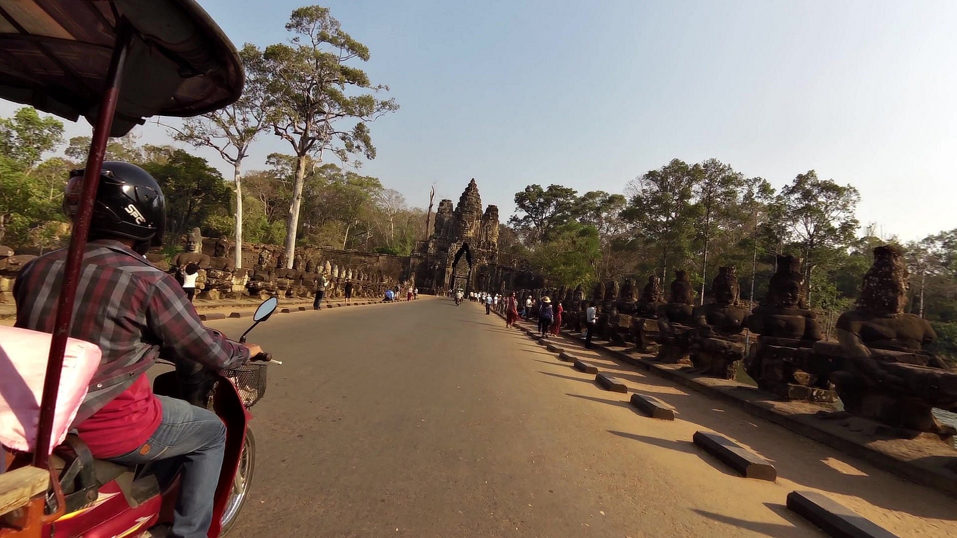
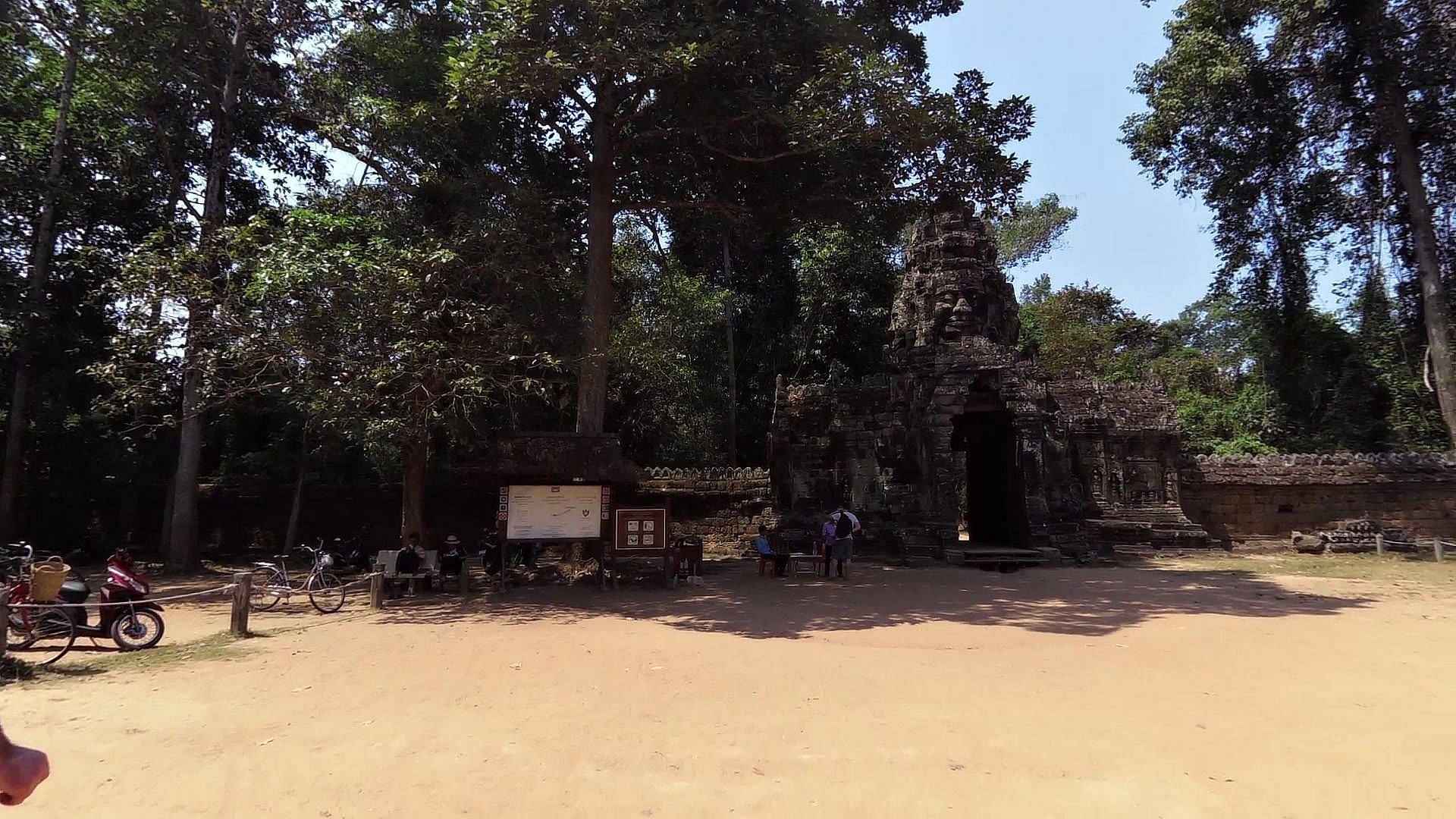
| South gate of Angkor Thom | map | video | |
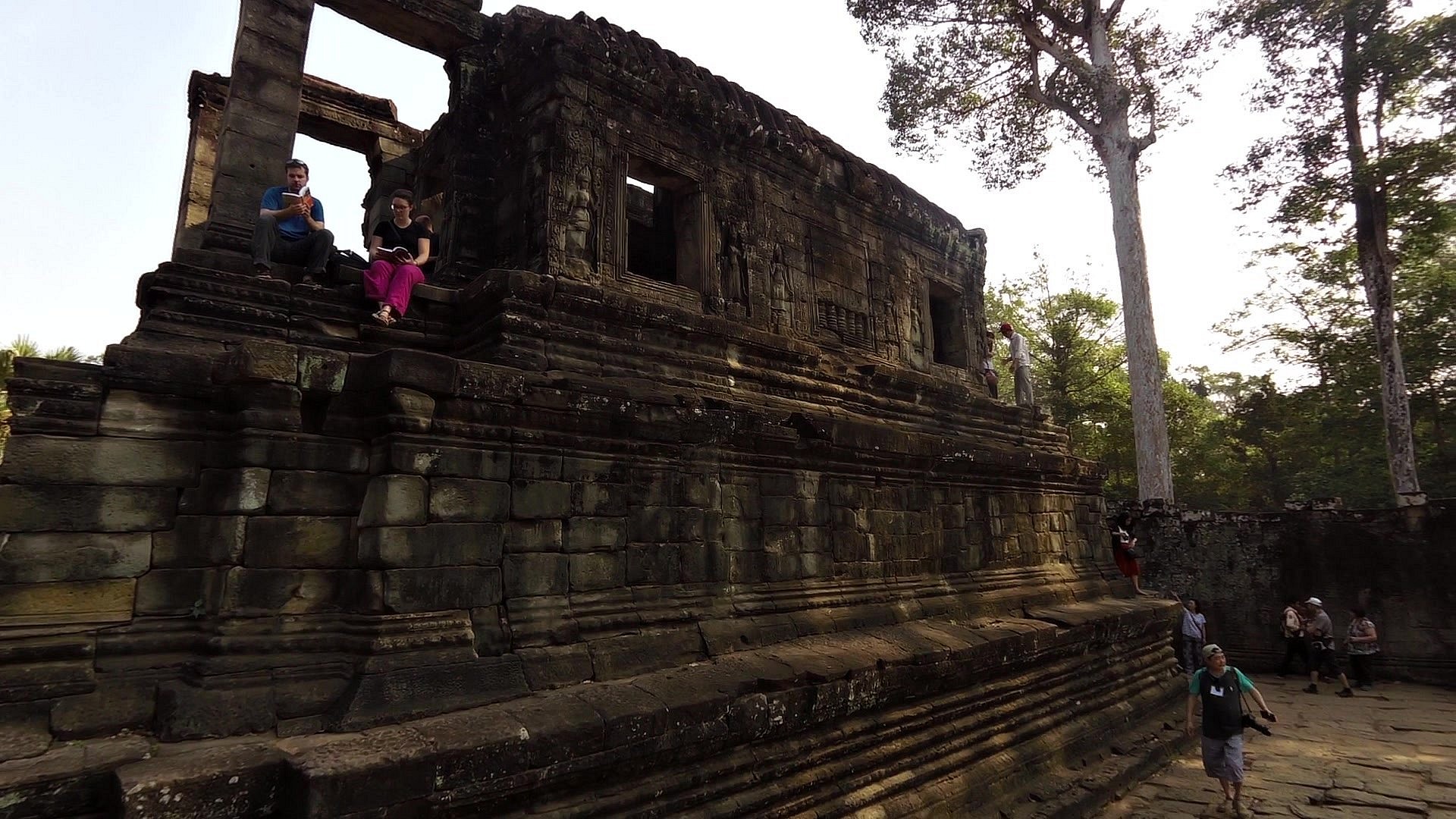
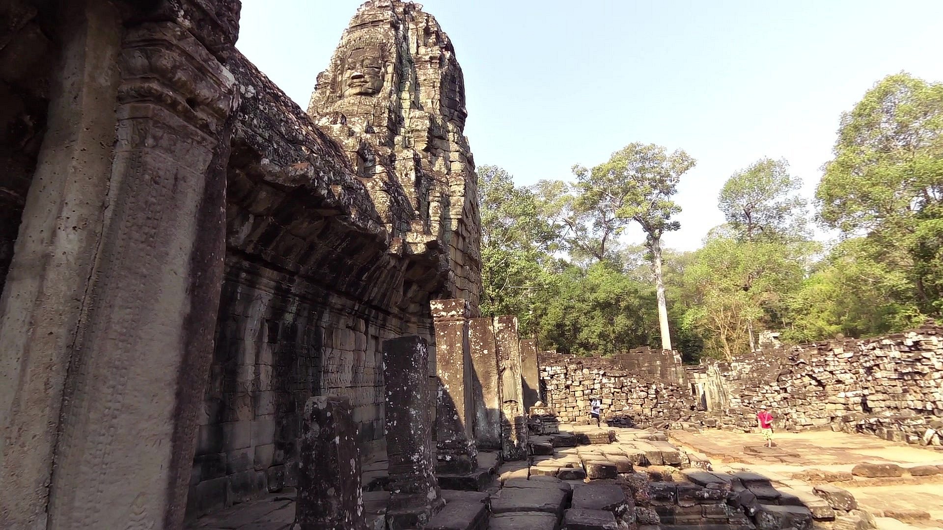
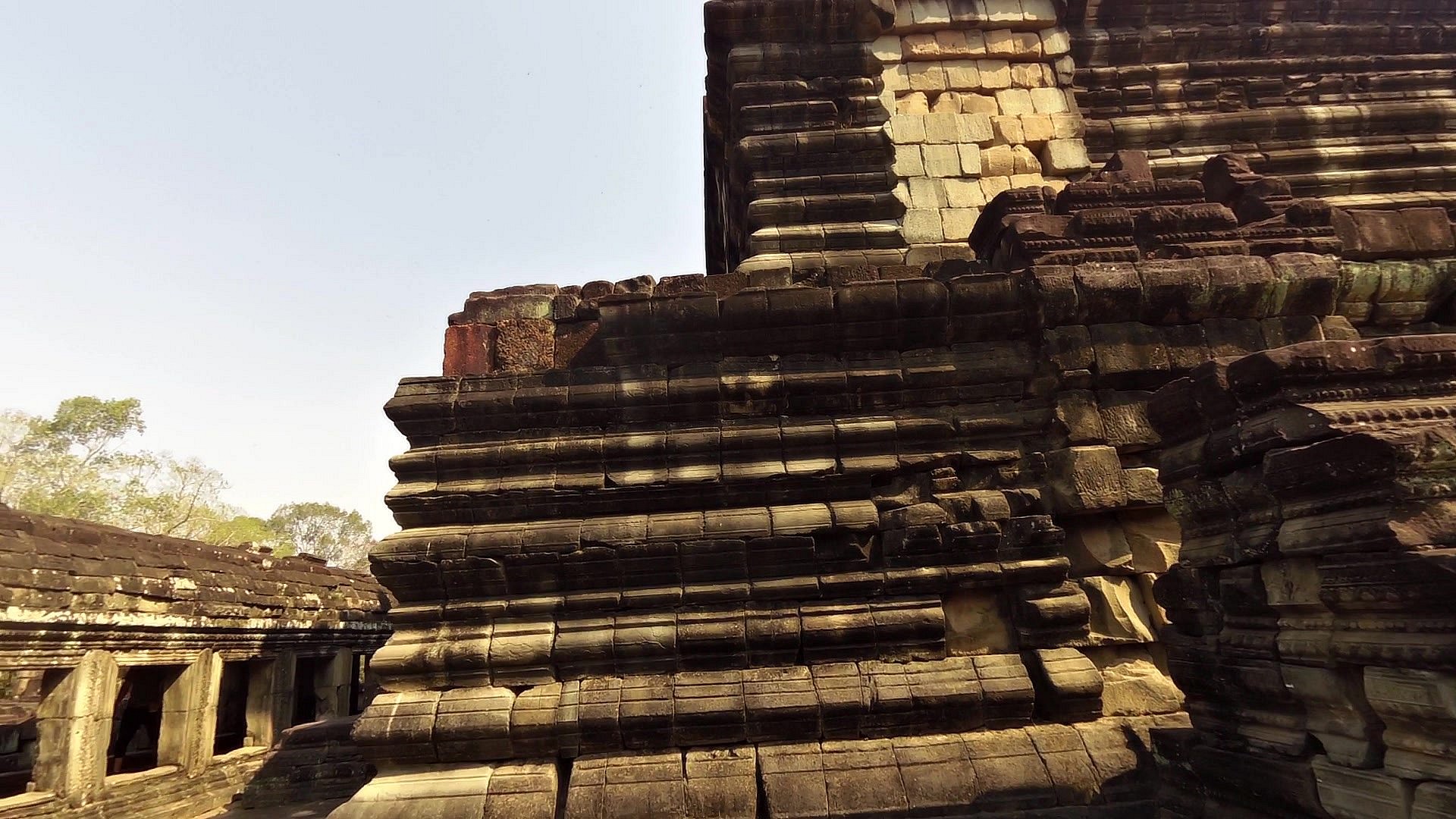
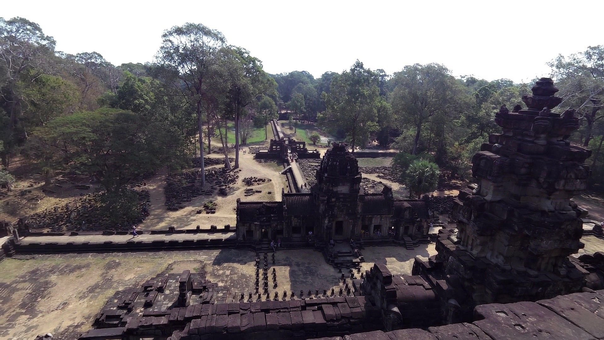
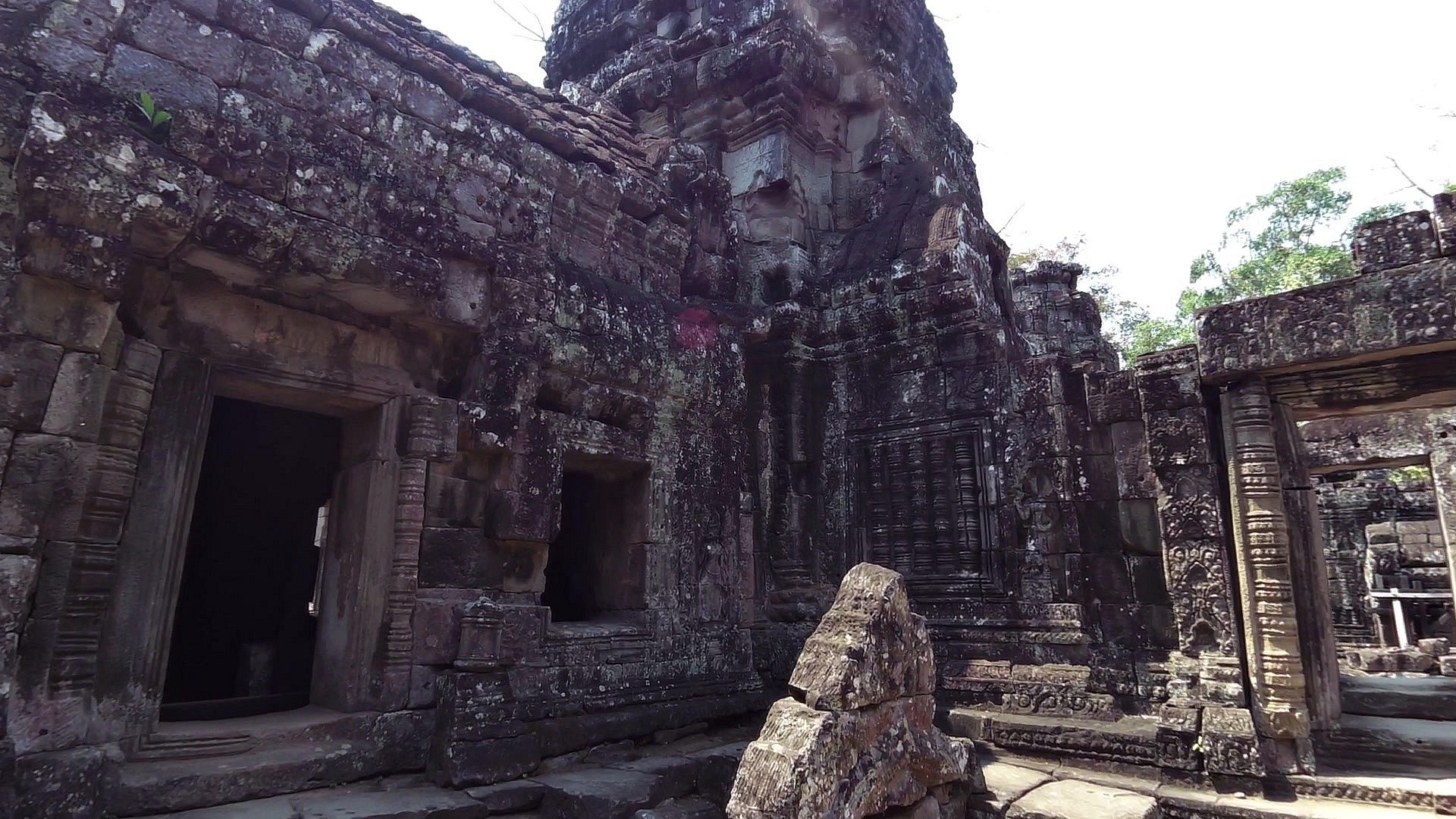
| Bayon temple | map | video | |
| Baphuon Temple | map | video | |
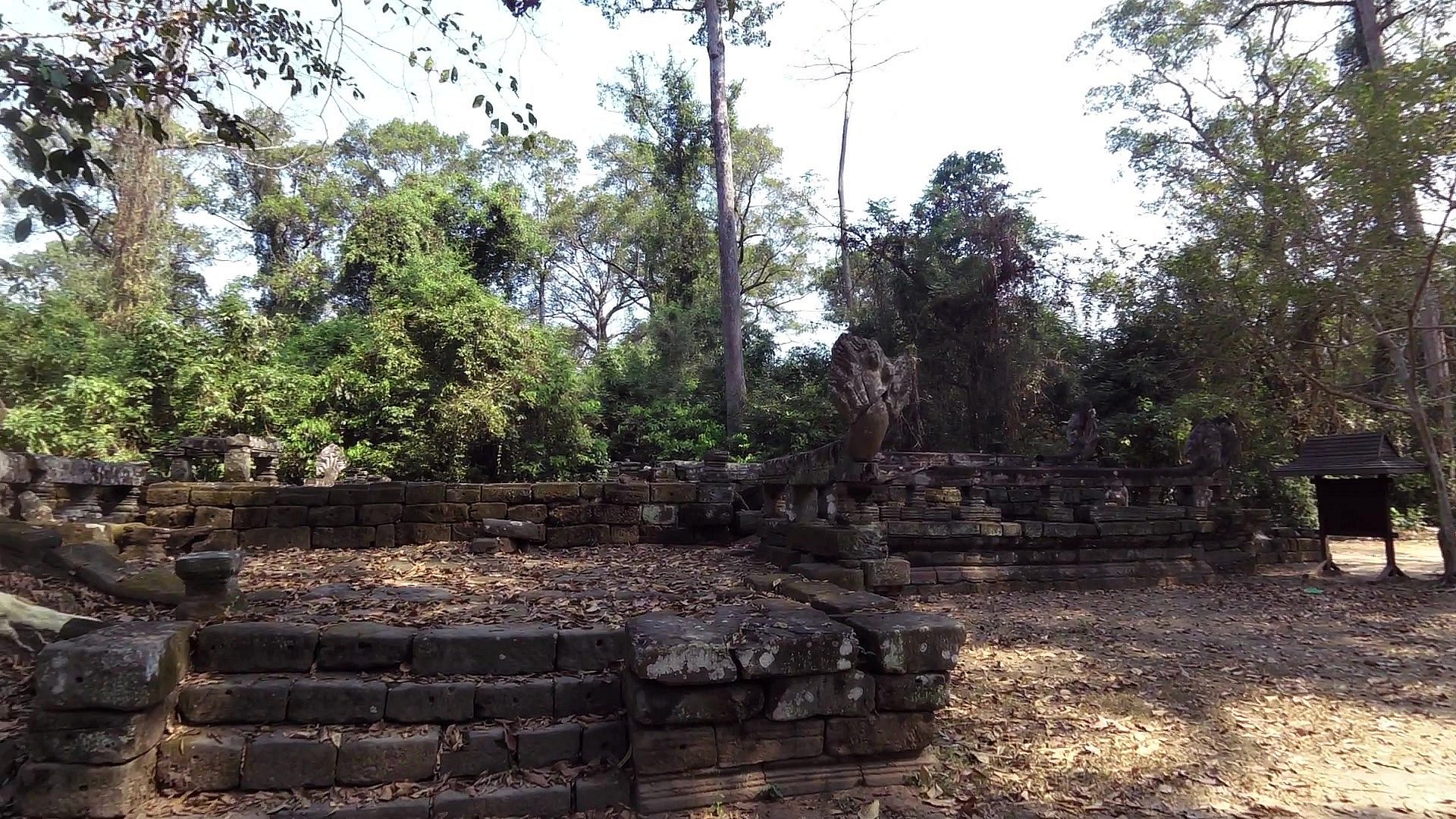
| Tep Pranam - The Worshipping God | map | video | |
| Elephant terrace | map | video | |
| Victory gate | map | video | |
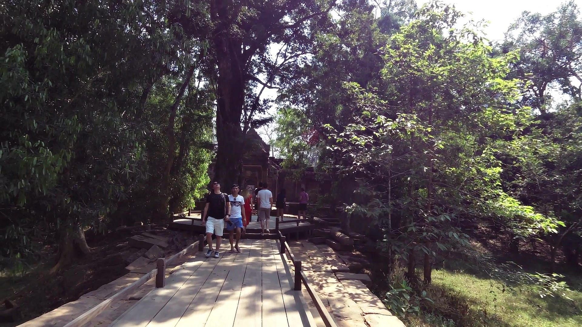
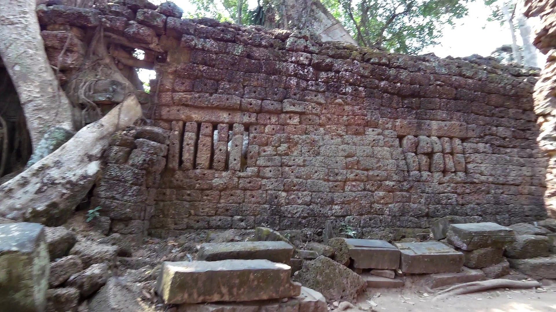
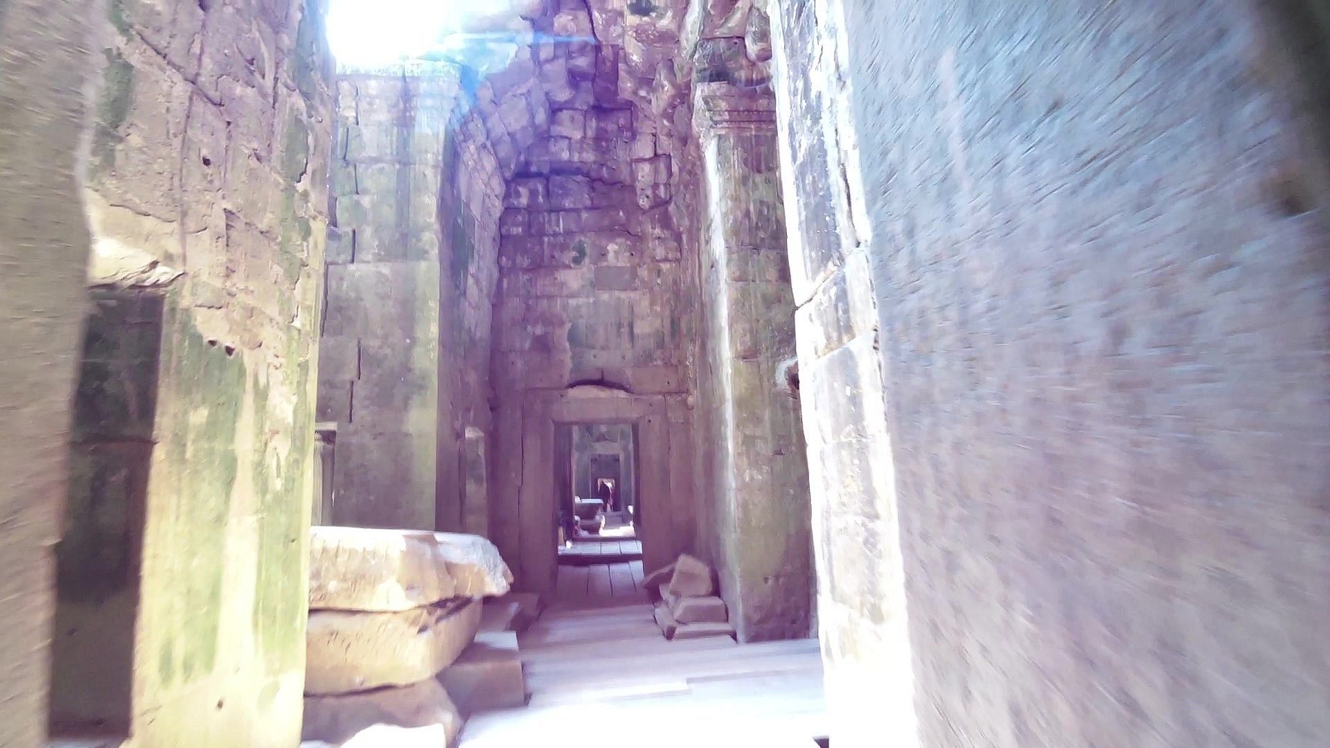
| Prasat Ta Prohm - Jungle Temple | map | video | |
| Banteay Kdei Temple | map | video | |
| Srah Srang | map | video | |
| Angkor Wat | map | video |
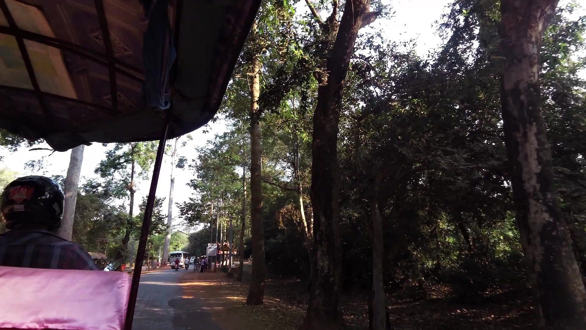
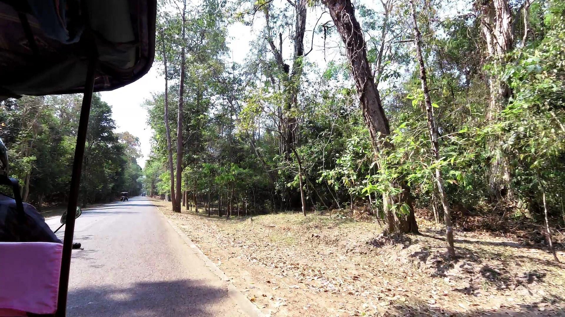
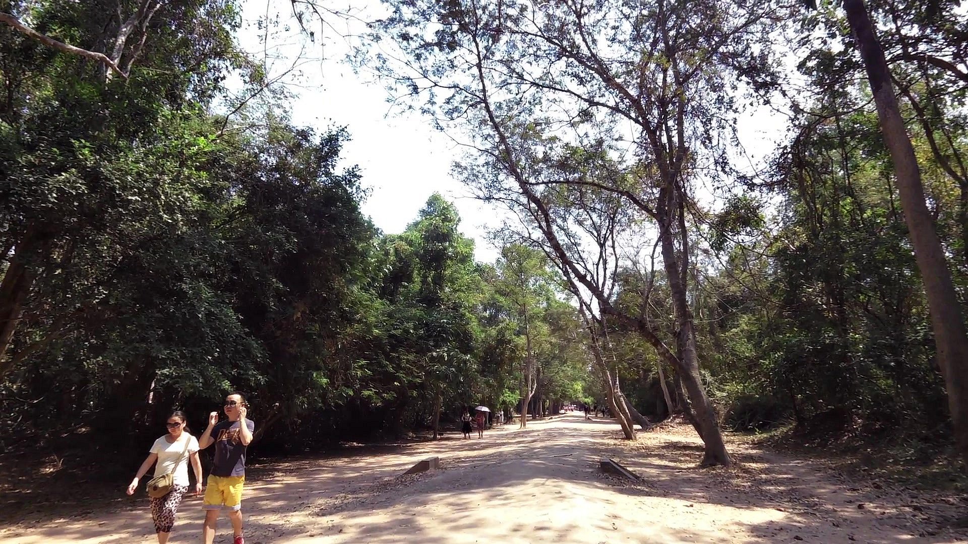
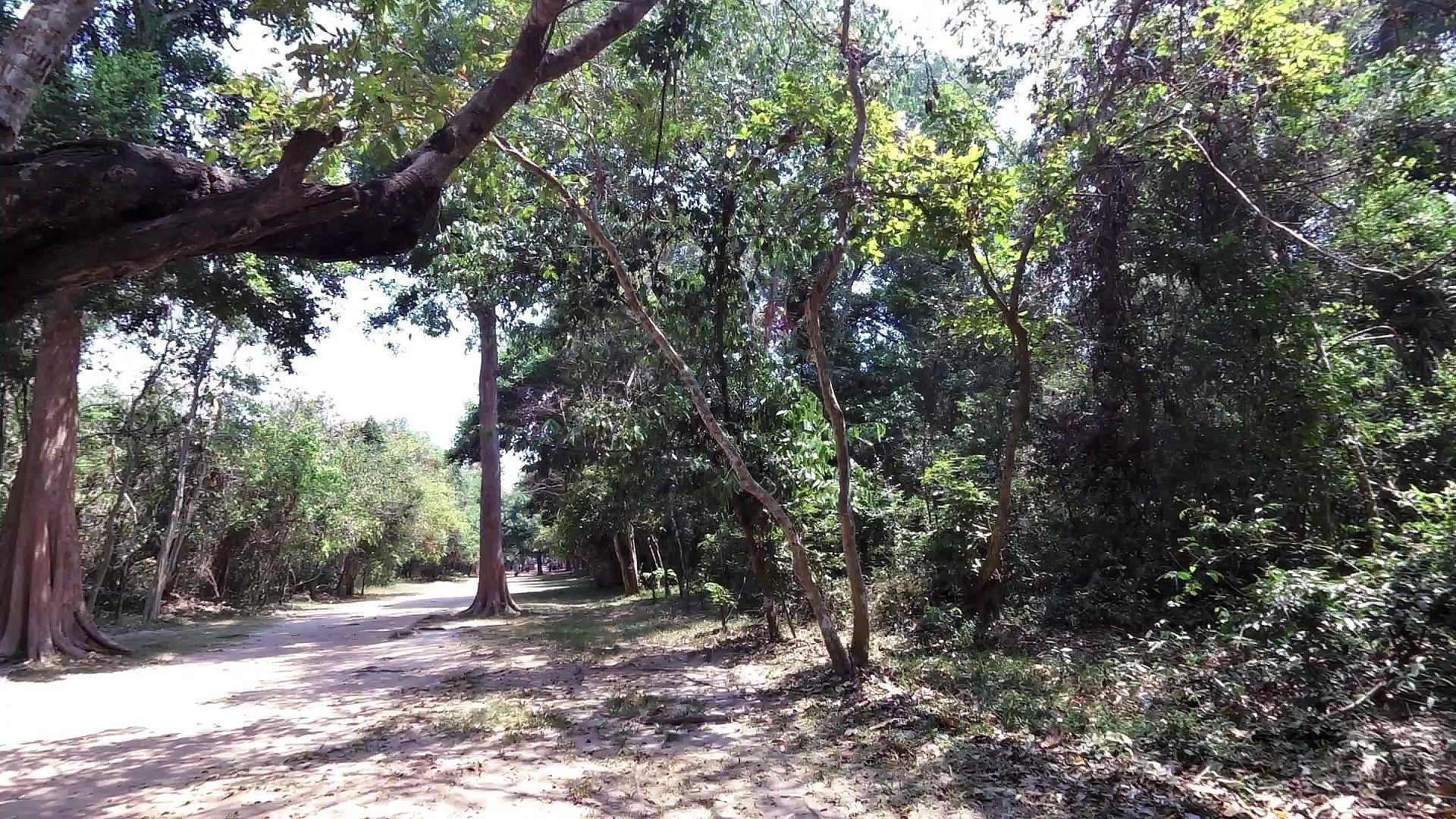
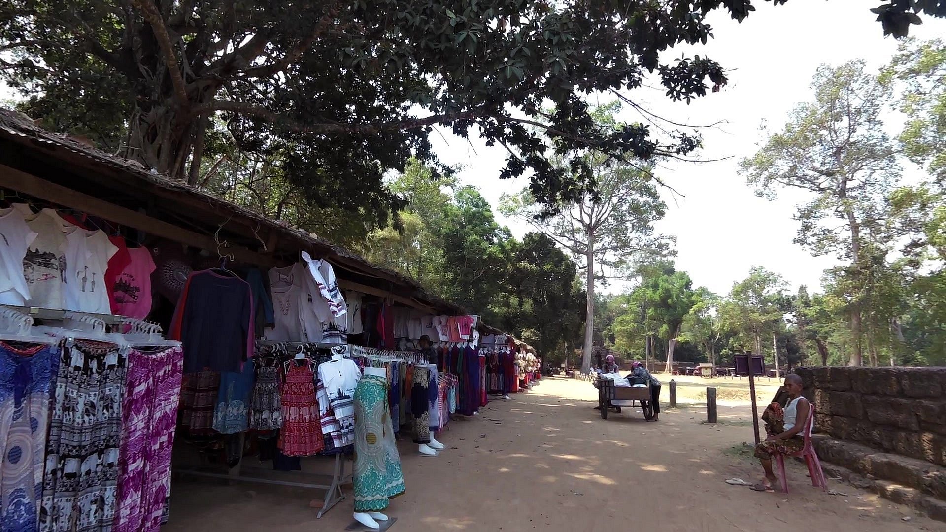
To get around visiting the temples of Angkor, you have a few options. You can hire bike or motorbike or hire either a tuk tuk or car with driver. We found the tuk tuk to be the perfect combination of comfort and adrenalin. You can sit and stretch out, you're protected from the sun, with the flaps down protected from the rain, you get a great breeze as you zip along, with a good driver you feel safe and have fun. standard for tuk tuk travel is USD15 for the day.
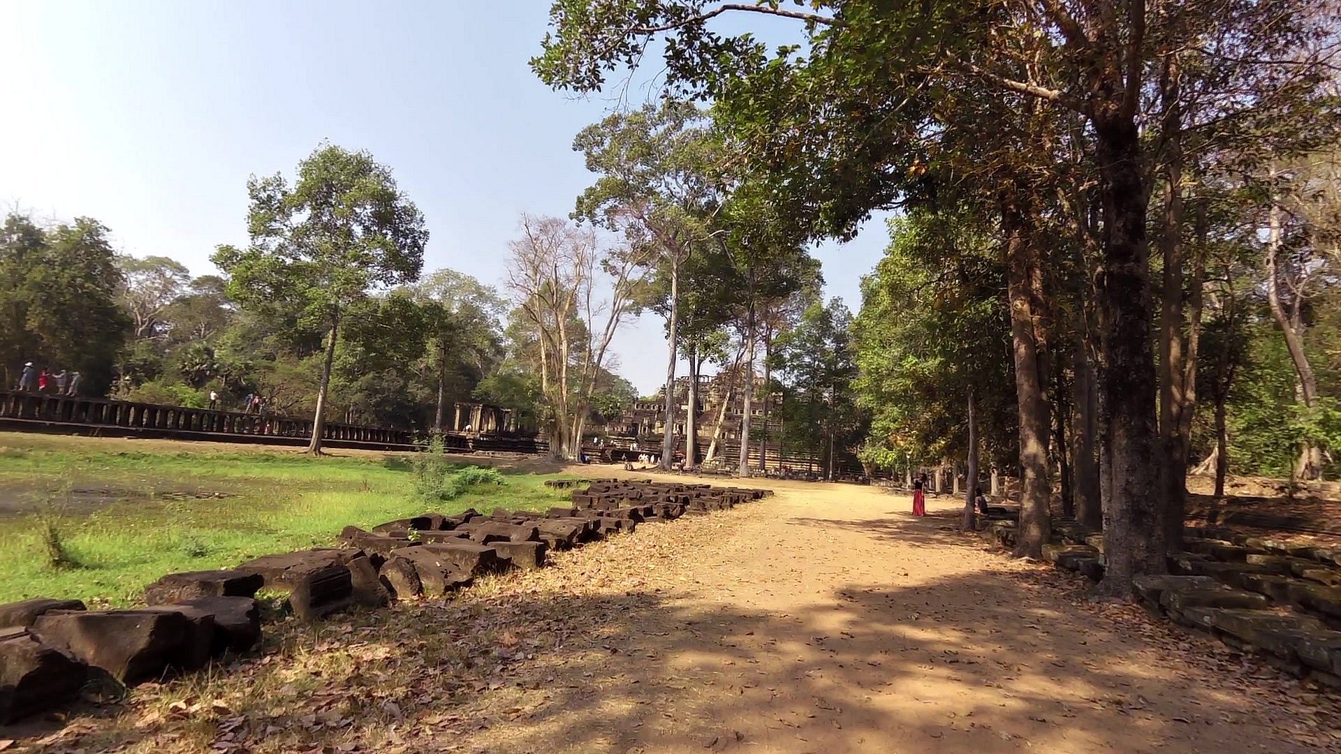
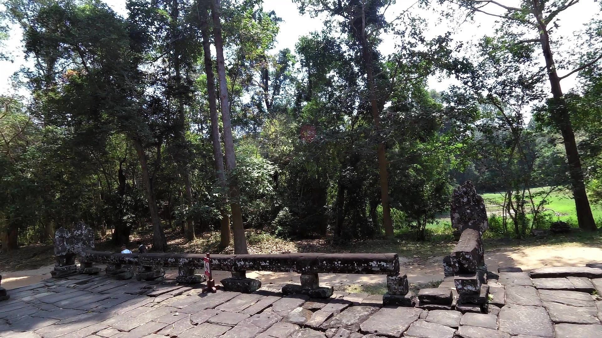
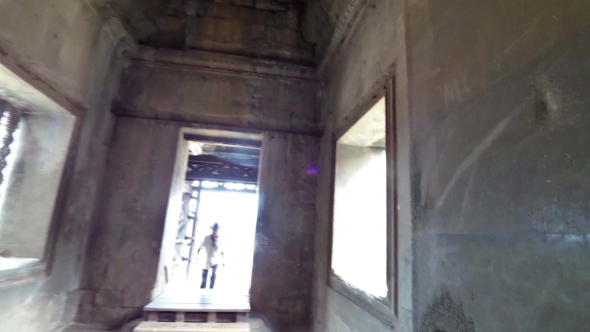
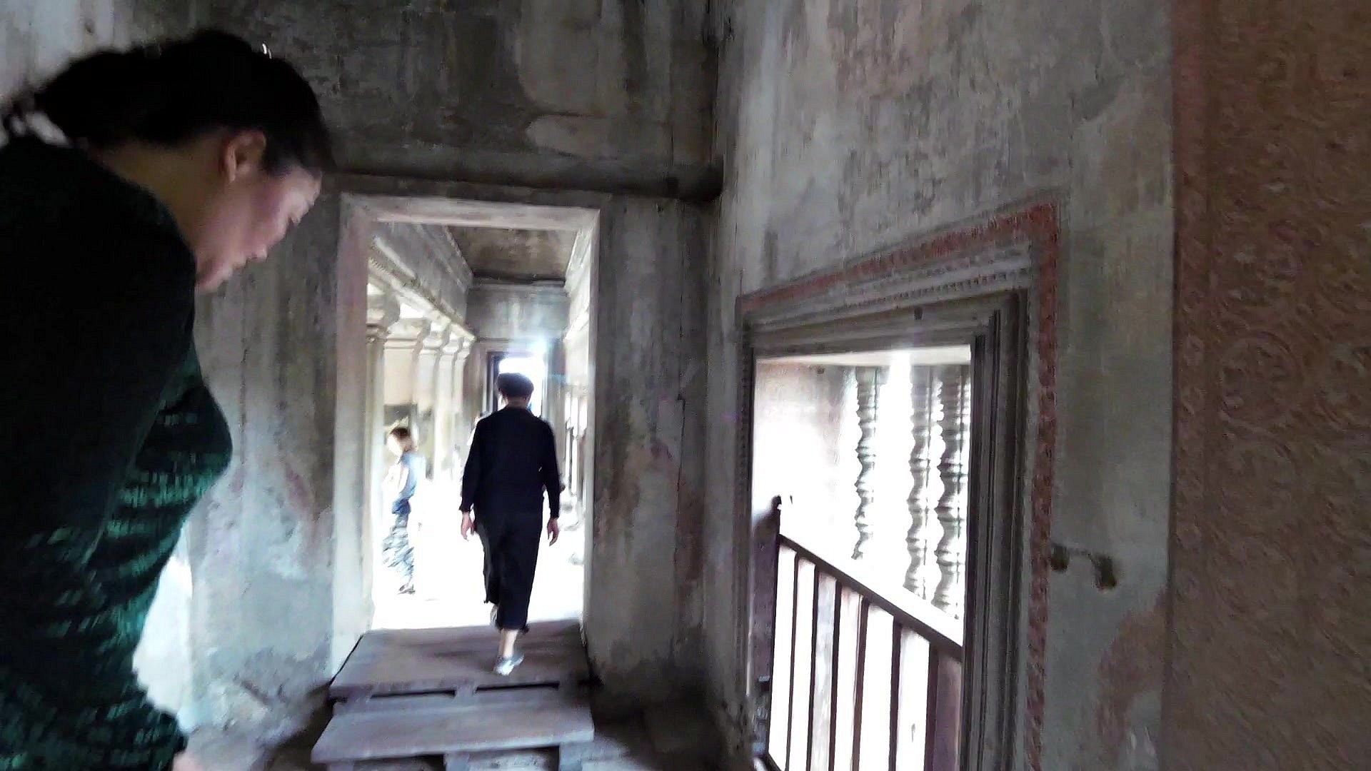
One day tuk-tuk trip usually includes South Gate of Angkor Thom, Angkor Thom complex ( Bayon,Elephant Terrace,Terrace of the Leper King, Visit Baphoun and Phimeanakas temple ). Visit of the Famous Ta Phrum (The uproot tree and Tomb Raider Temple) covered by the jungle and finally Angkor Wat.
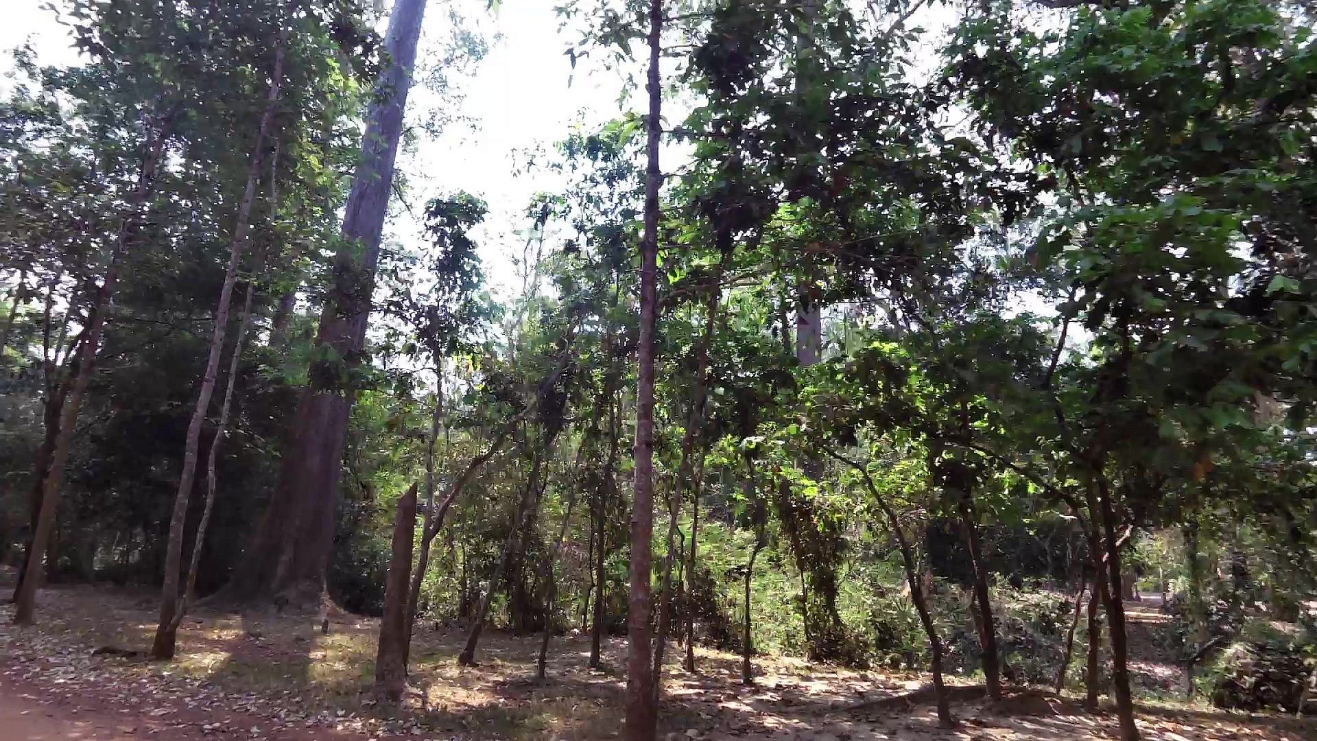
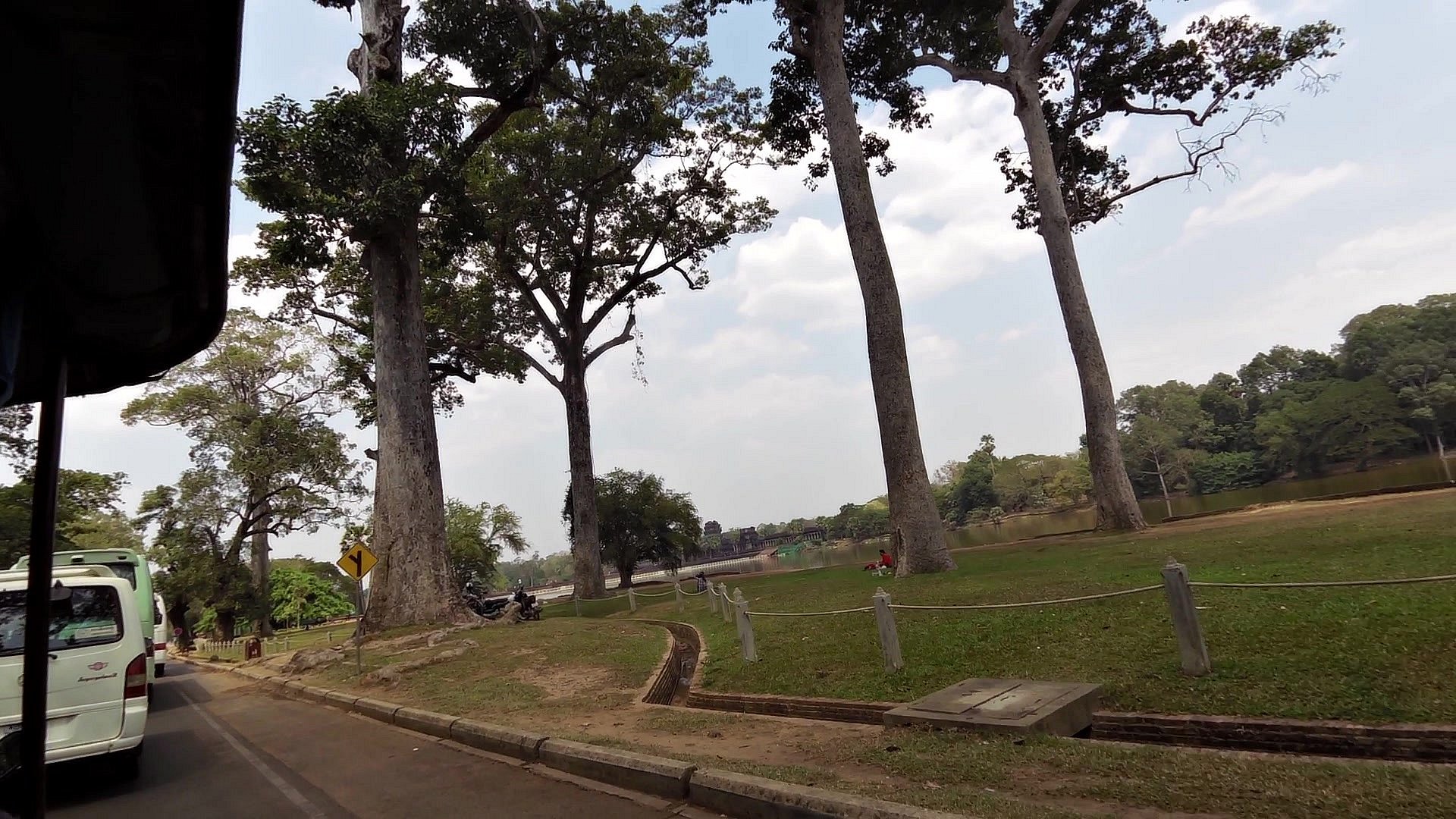
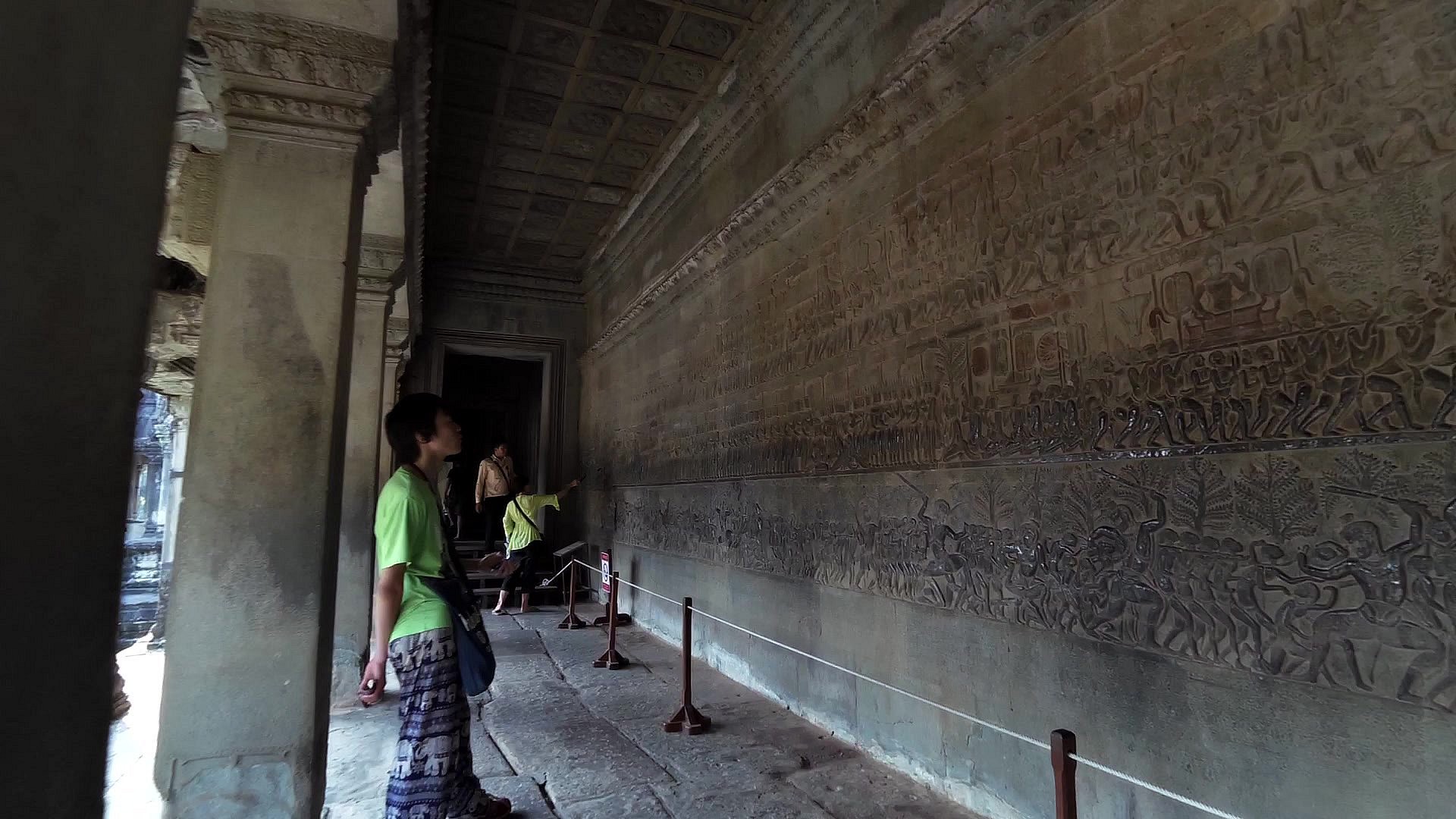
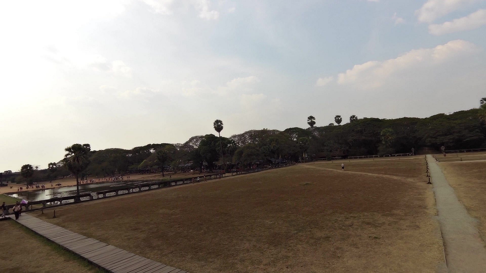
Angkor Wat - "Capital Temple" in Khmer - is the largest religious monument in the world, with the site measuring 162.6 hectares (1,626,000 m2). It was the capital of the Khmer (Cambodian) empire from the 9th to the 15th century, a period that is considered the classical era of Cambodian history. Its most-imposing monuments are Angkor Wat, a temple complex built in the 12th century by King Suryavarman II, and Angkor Thom, a temple complex built about 1200 by King Jayavarman VII. Many of the temples at Angkor, all of which gave expression to Indian cosmological and mythical themes, were built in order to provide a locus for cults through which kings and other members of the royal family could be assured of immortality by becoming identified with Shiva or one of the other preeminent gods of the realm.


![]() Back to the list of videoroutes
Back to the list of videoroutes


")

