like:
type:
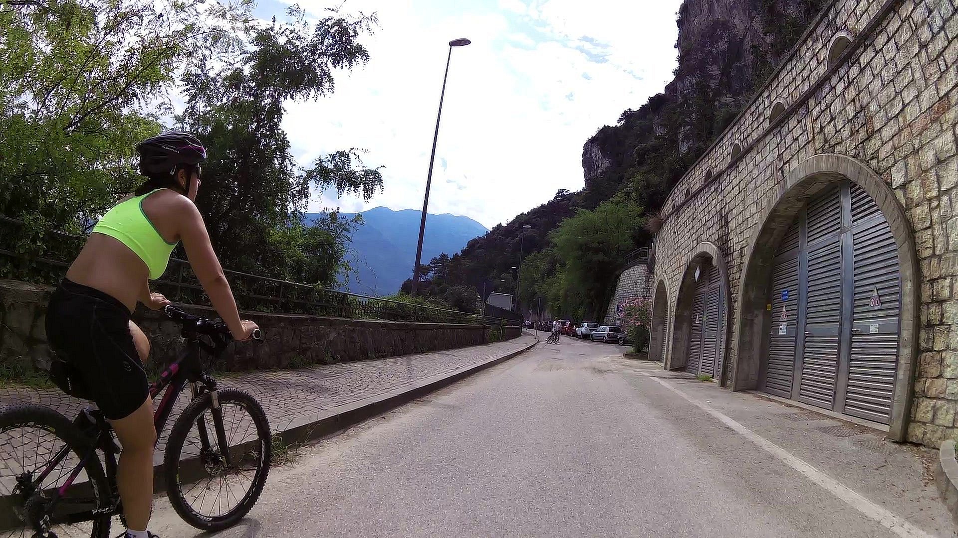
Cycling
difficulty:
Intermediate
length:
2.35km
total elevation:
339.60m
total descent:
317.80m
navigation:

| 0.00km from start |
2.35km to finish |
m elevation |
0m total elevation |
0m total descent |
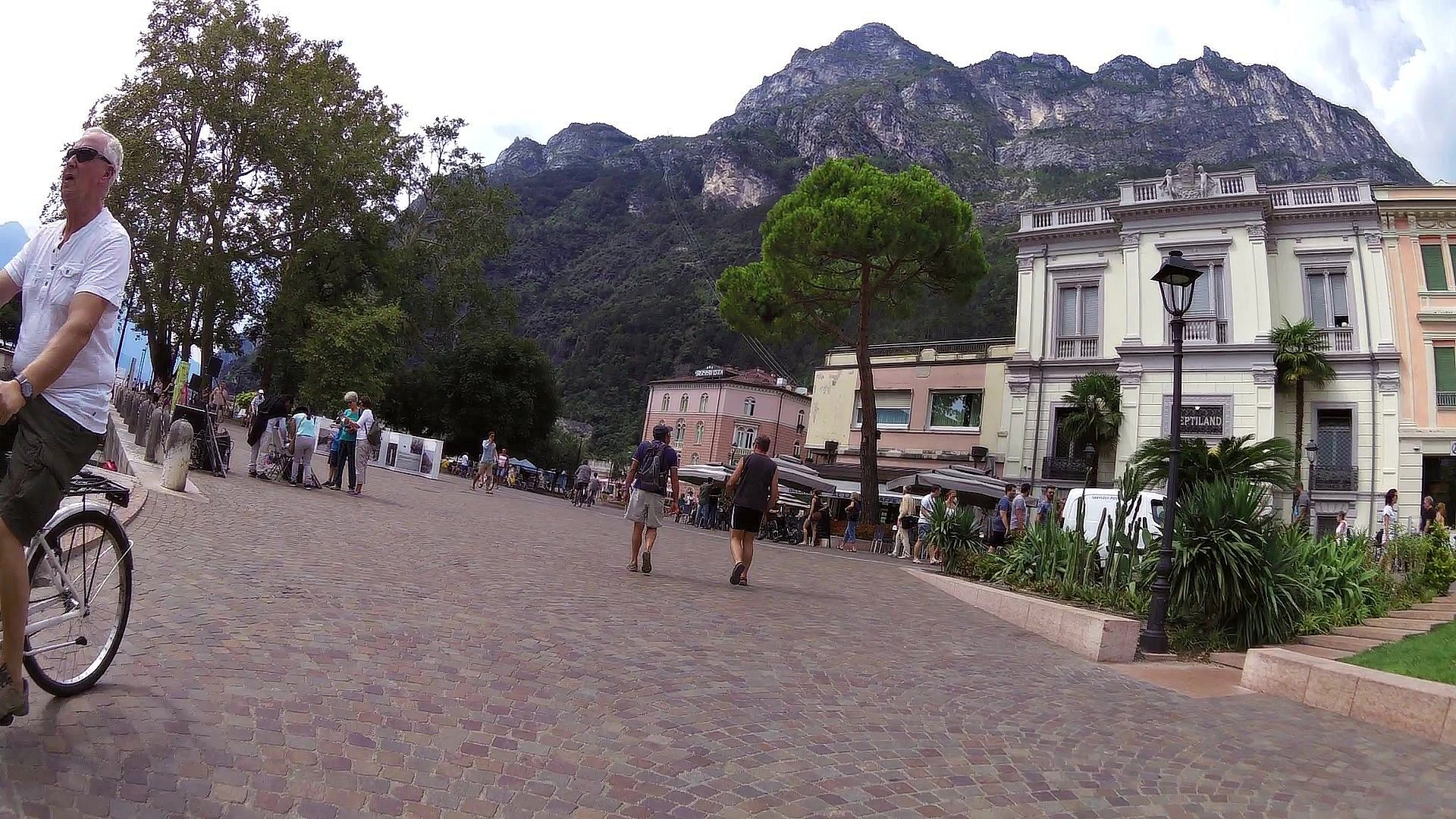
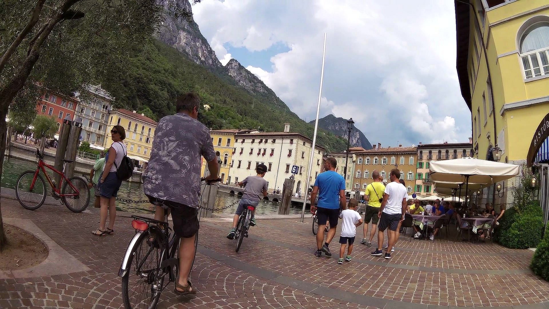
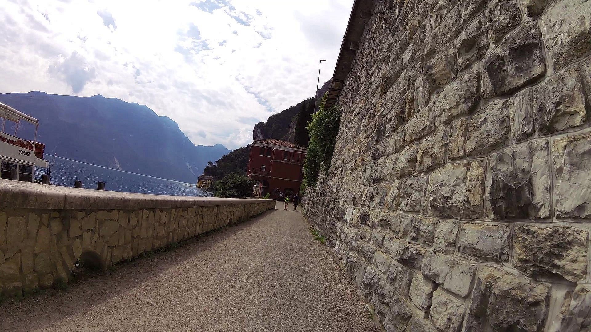
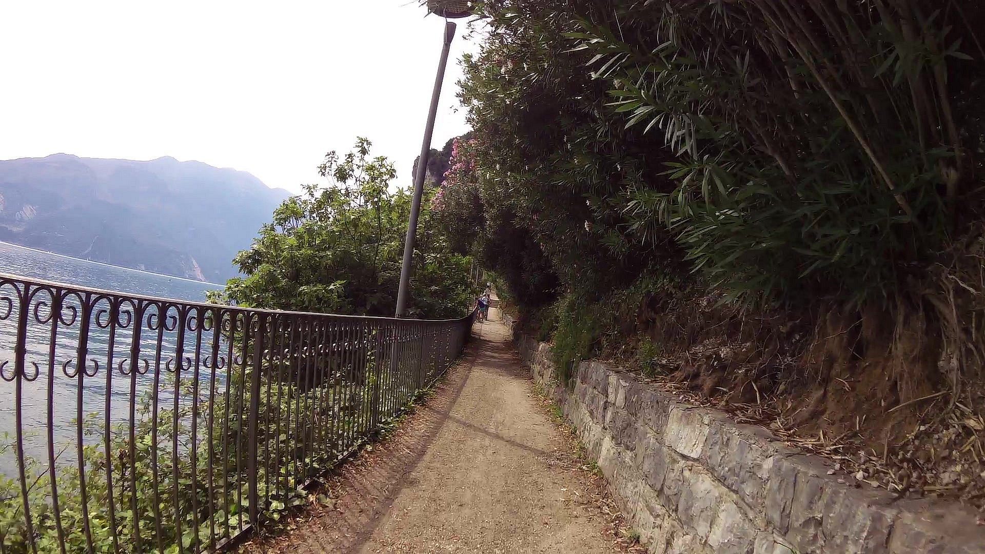
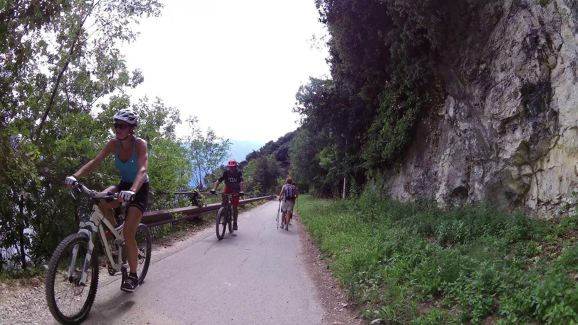
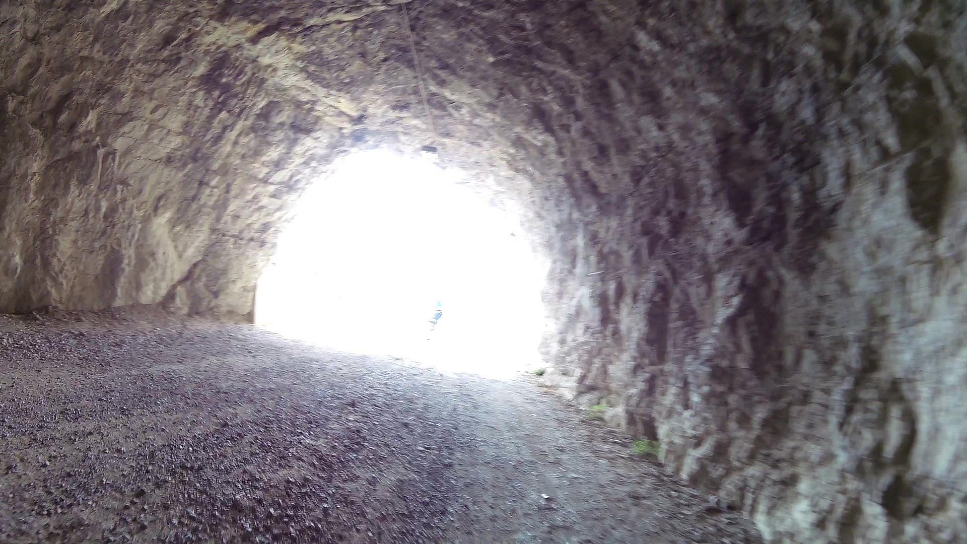
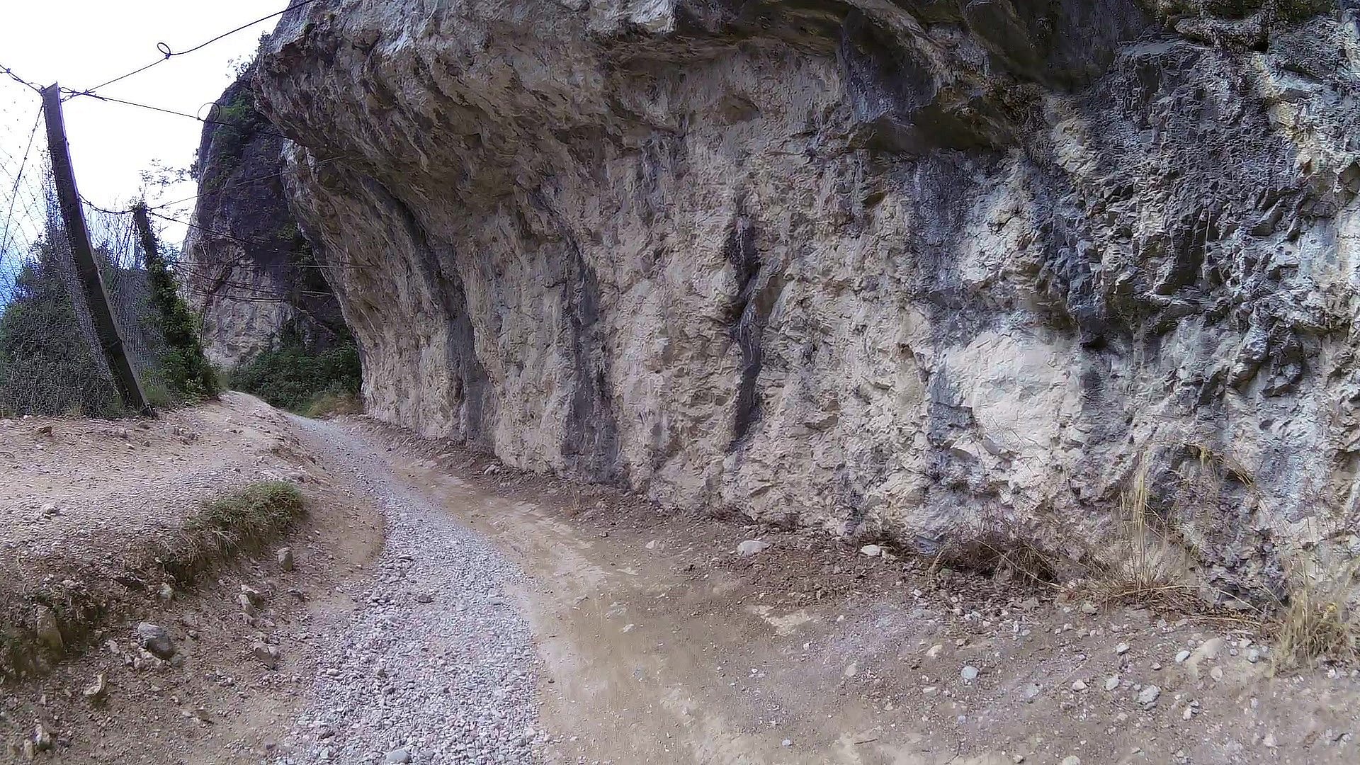
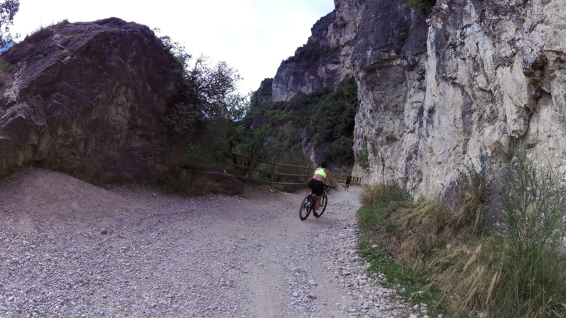
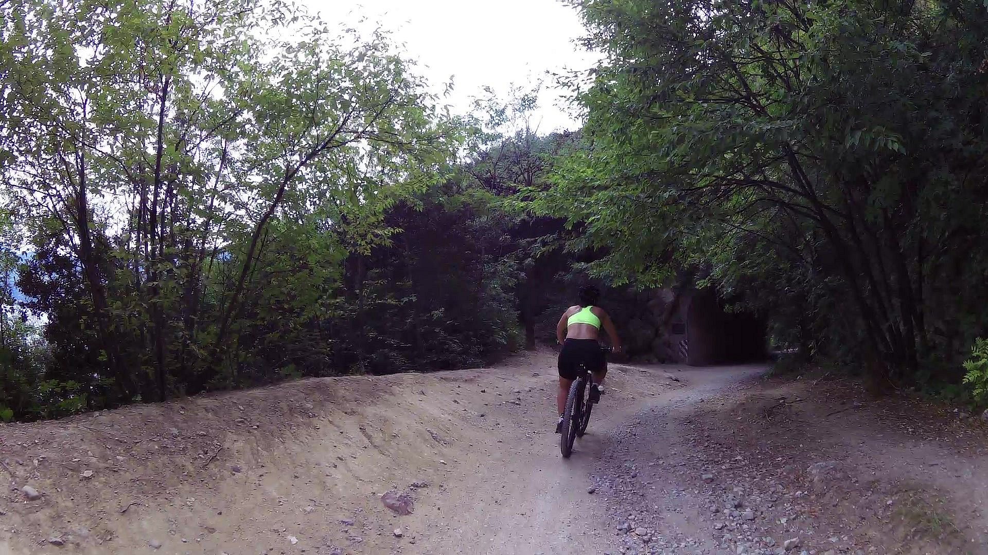
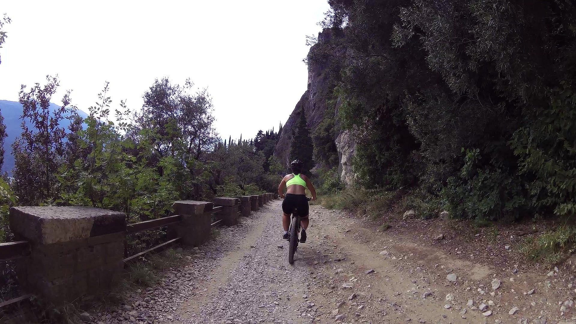
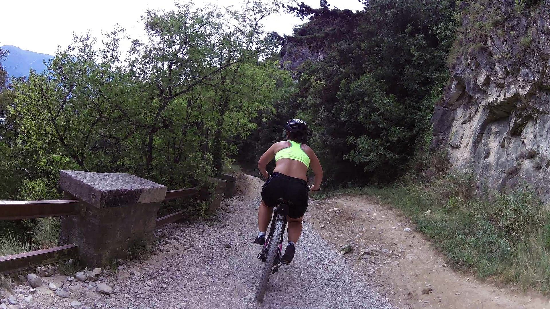
From the hydroelectric power station of Riva del Garda, head south. The start of the trail is just before the tunnel, on your right hand side. This trail winds sheer above the waters of the lake and there are breathtaking views at every bend.
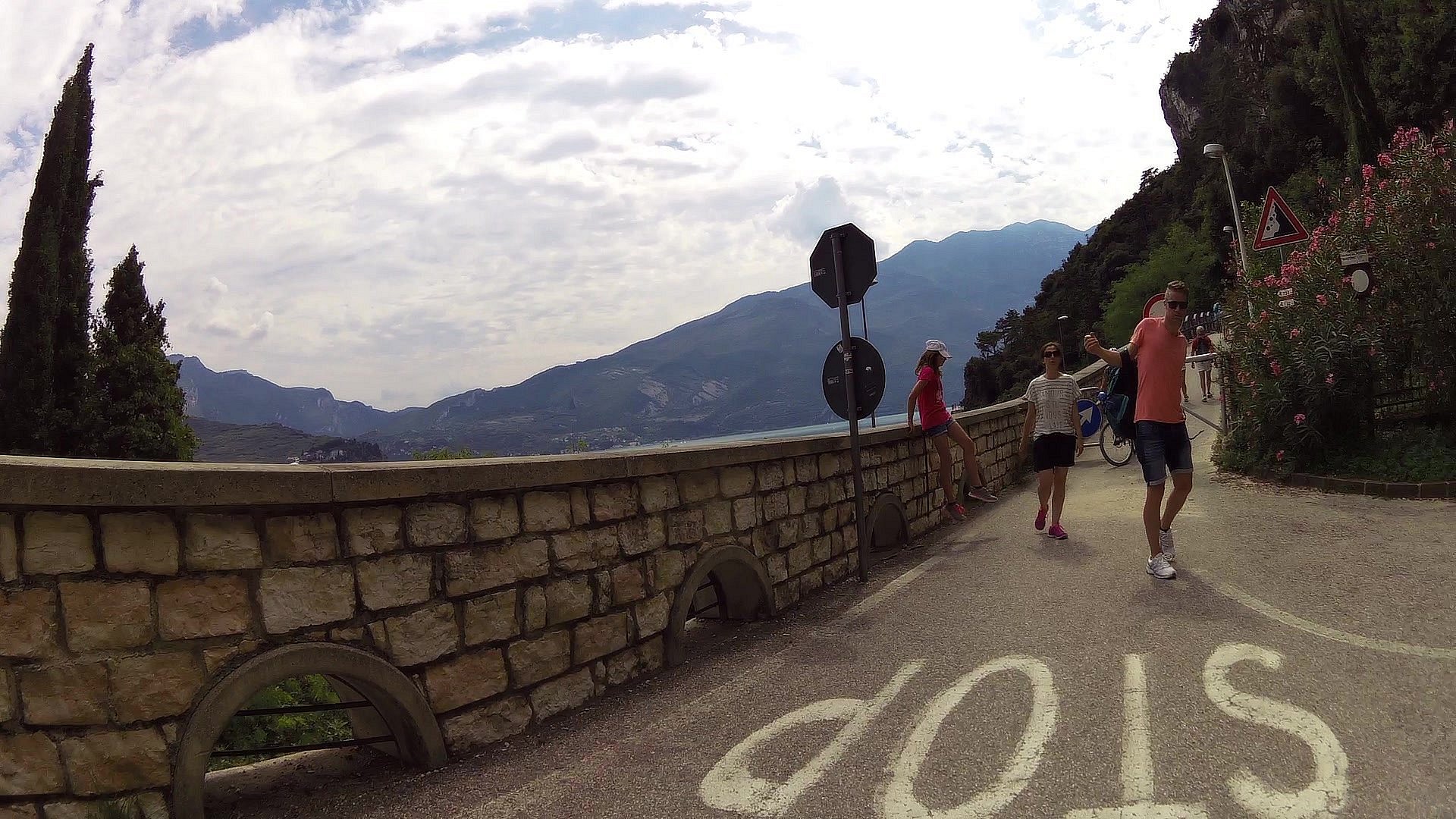
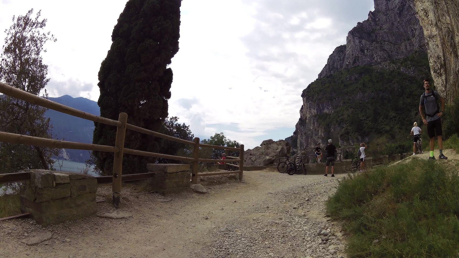
The first part of the hike finishes at Belvedere (now a stop-off point for refreshments during the summer season). If you wish, you can finish the excursion here and head back the way you came to Riva.
Otherwise, you can choose to continue on up to the right towards Valle di Ledro and its lake or else head left until you come to Pregasina. Here you can stop off for something to eat and drink before heading back along the same trail (about 1 h 30) or else by public transport .
More you can find here: https://maps.gardatrentino.it/en/tour/mountain-tour/ponale-trail-the-top-trek-in-garda-trentino/1481019
Warning! The trail presents no technical difficulties but is prone to rock falls.
The information on this chart is subject to inevitable variations, so this means that none of the indications are absolute. It is not entirely possible to avoid giving inexact or imprecise information, given how quickly environmental and weather conditions can change. For this reason we decline any responsibility for changes which the user may encounter. In any case, the hiker is advised to check the conditions of the places, environment and weather before setting out.
You need to be wearing the right clothing and take the proper gear when you go hiking in the mountains. Even on relatively short easy outings make sure to take all you need so you don't run into trouble if things take an unexpected turn, for example a storm blows up or you have a sudden drop in energy levels.
What should you take when you go on a hike?
What you should have in your rucksack (for a day trip a 25/30L capacity should do):
Make sure you're wearing the right footwear for the trail and season. The going can get rough and rocky underfoot and a pair of hiking boots will protect you from sprains. When wet, a grassy slope, rocky slab or steep trail can be dangerous unless you are wearing the proper footwear.
And finally...
... don't forget to bring your camera! You'll need it to capture the stunning views you come across all over Garda Trentino. And if you like, you can share your memories with us at #GardaTrentino.
The Ponale Road was begun in 1851, an ambitious project to link Lake Garda and Valle di Ledro which up till then had been cut off from the rest of Trentino. It was opened to road traffic at the end of the 80s with the opening of the new tunnel to Valle di Ledro which was subsequently turned into a cycle path in 2004.


![]() Back to the list of videoroutes
Back to the list of videoroutes


