like:
type:
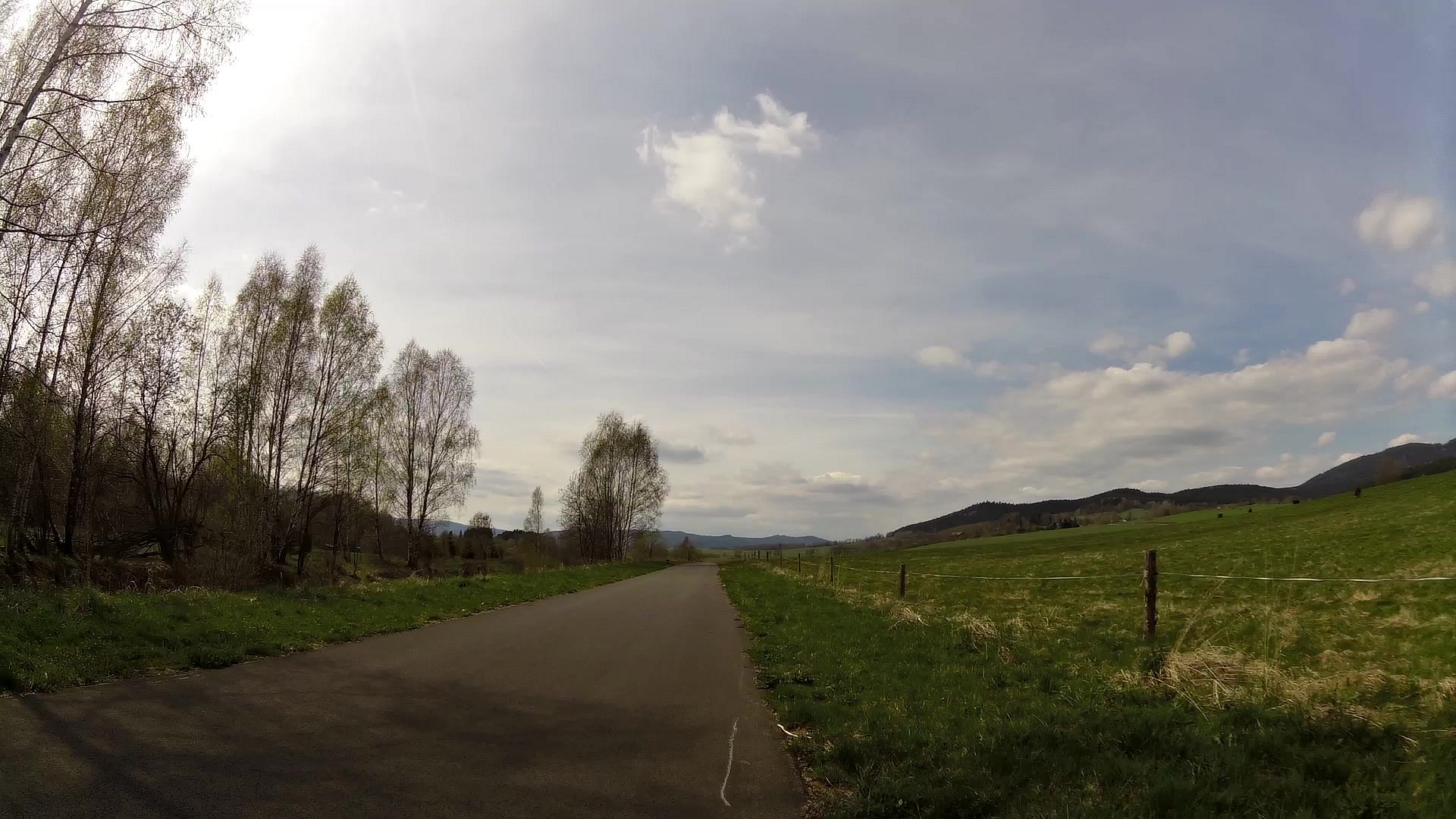
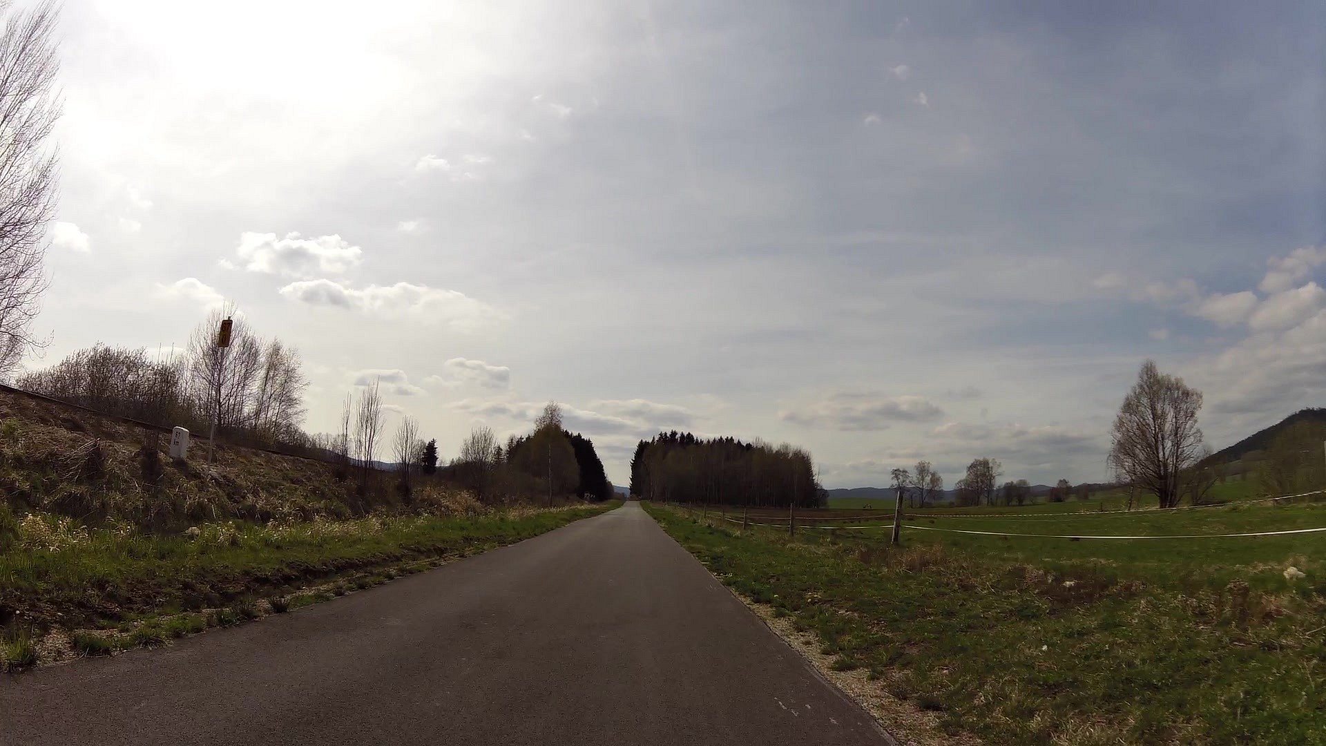
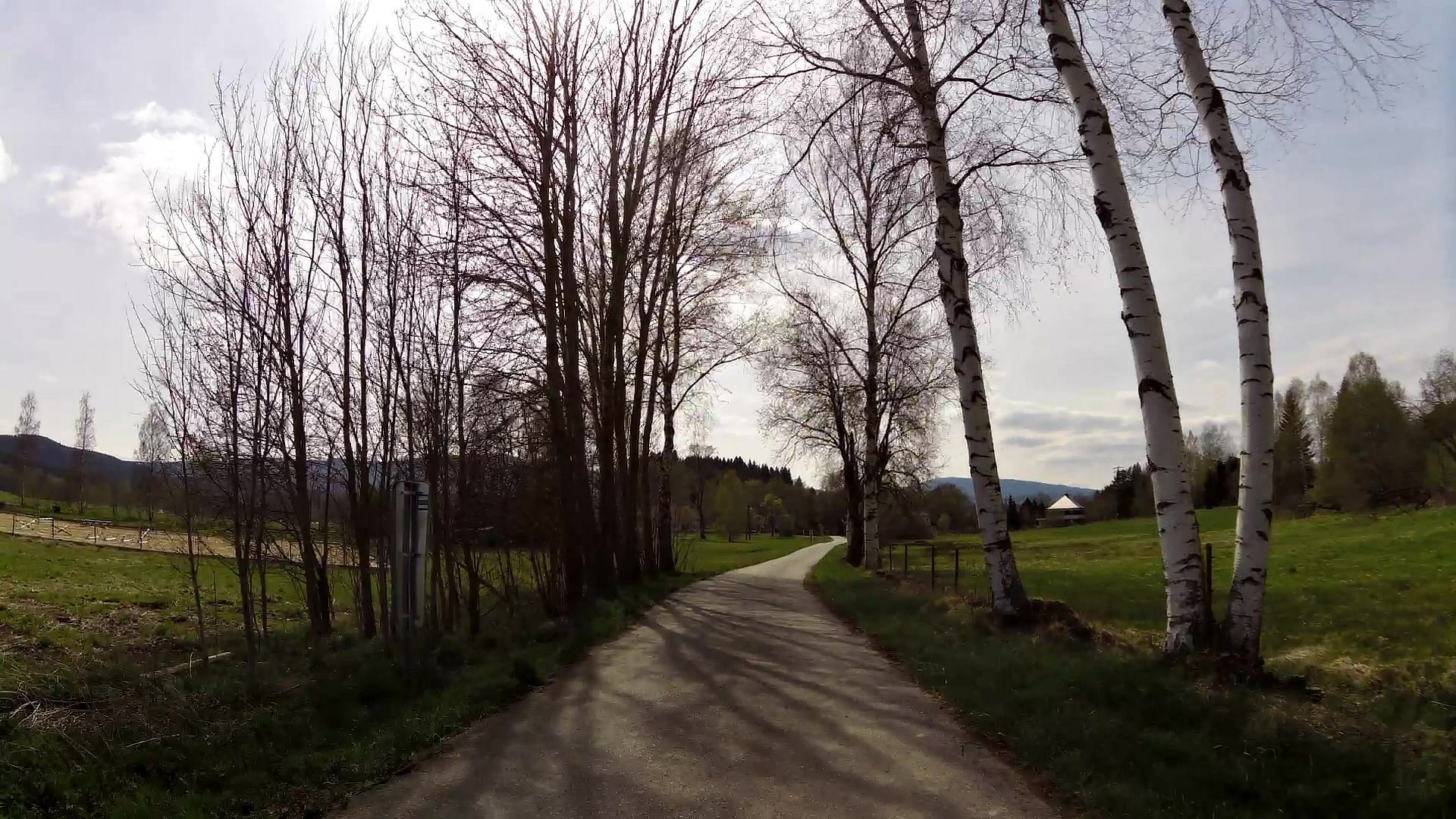
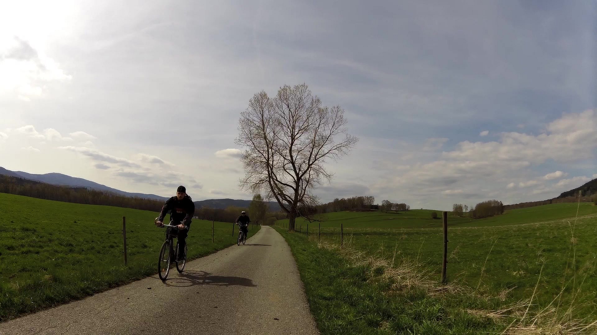
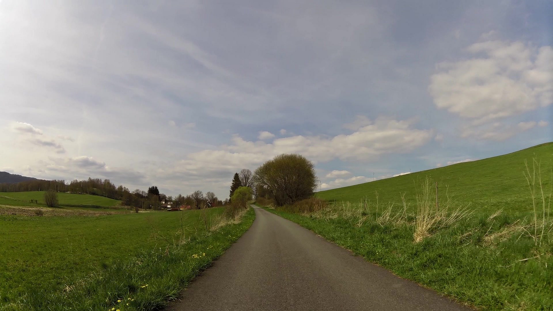
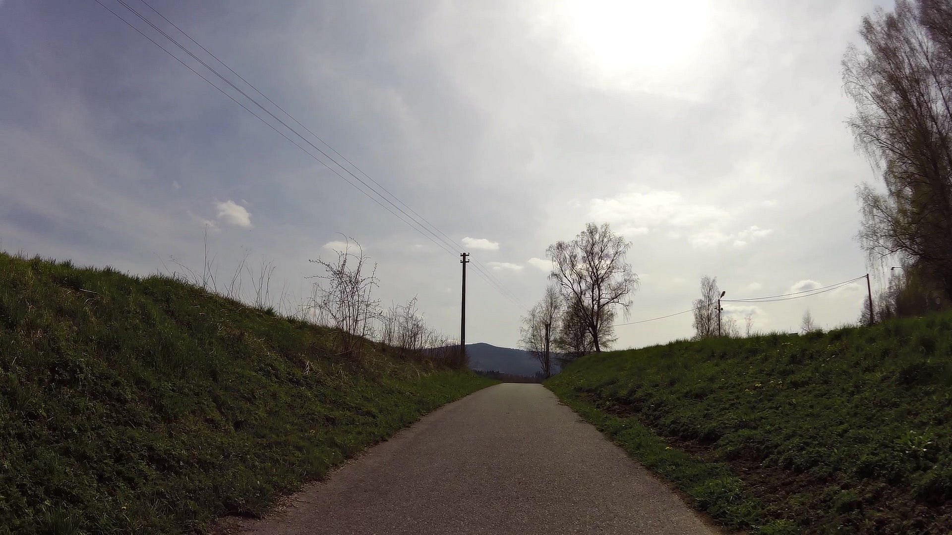
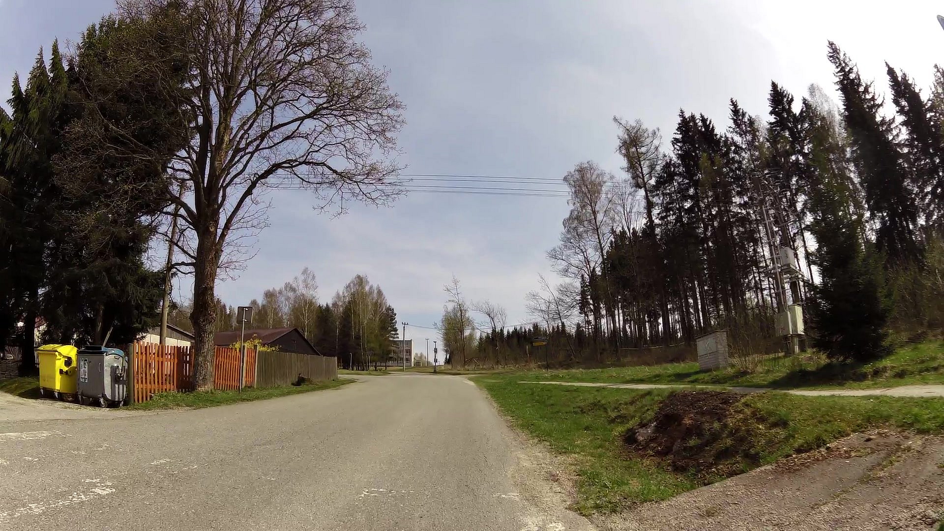
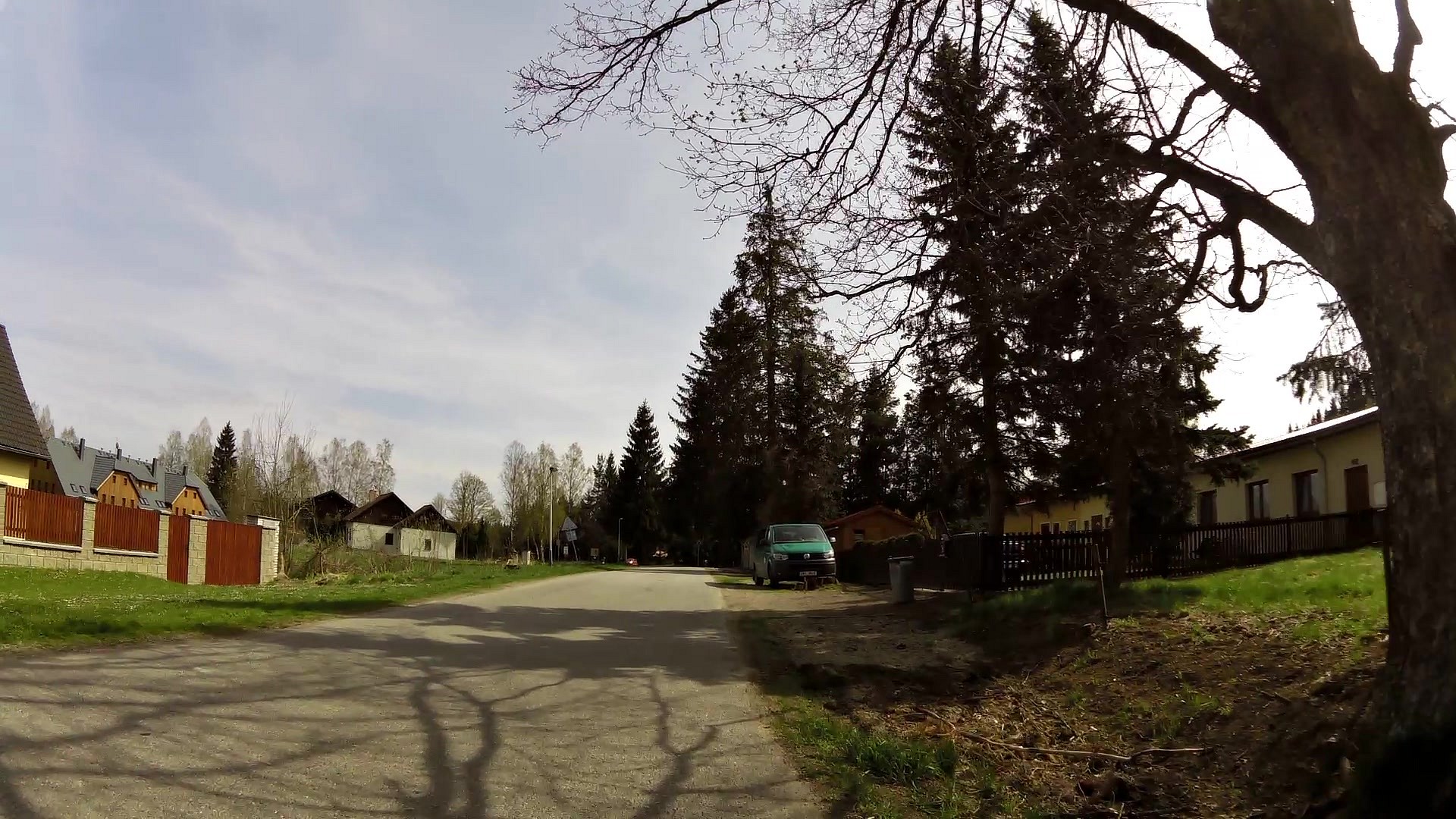
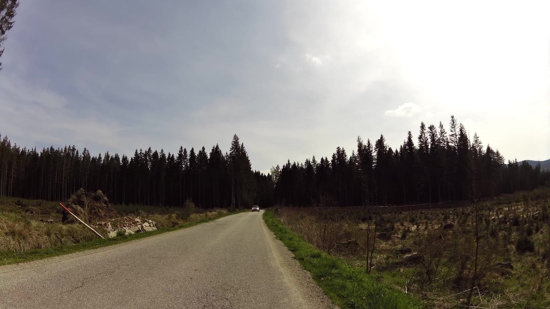
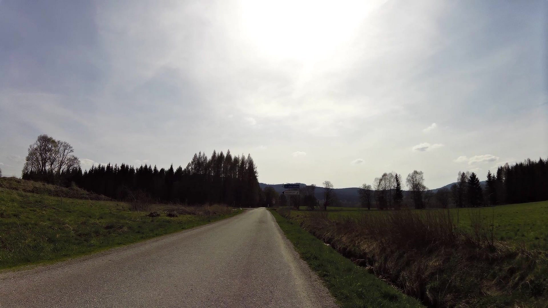
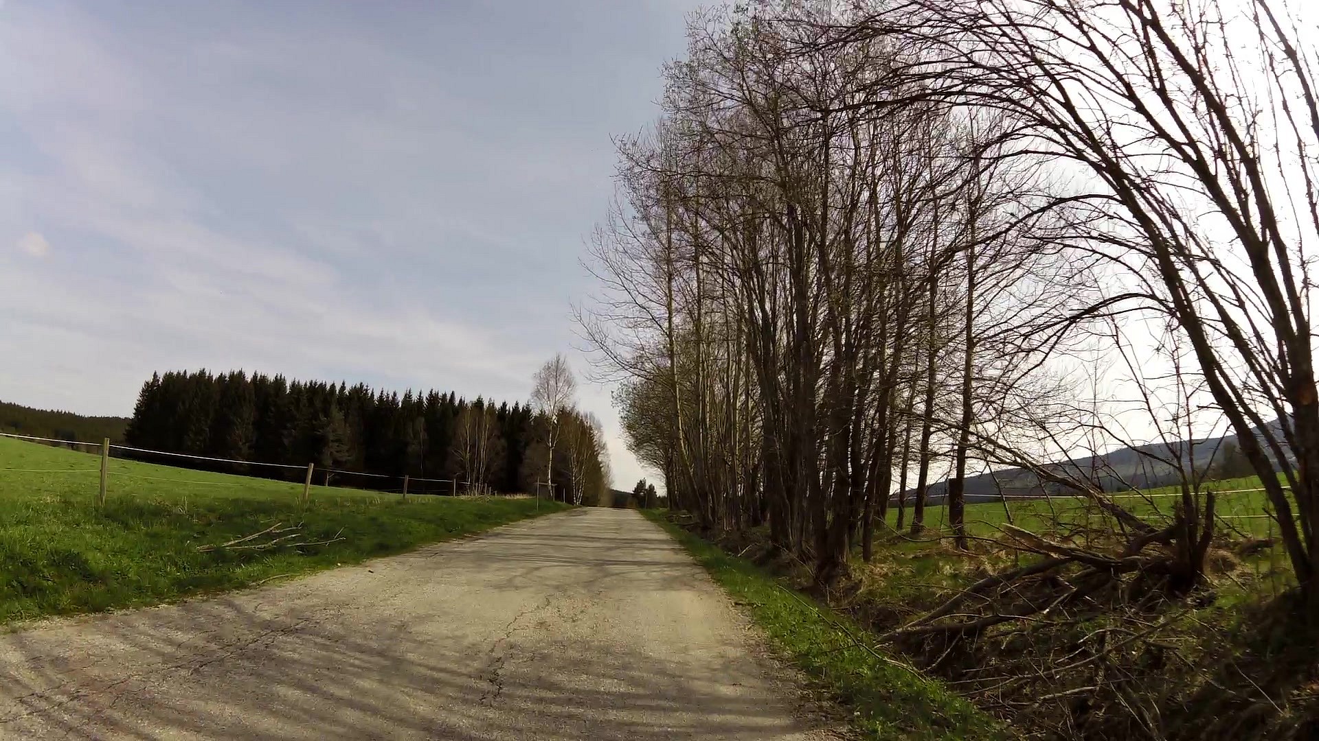
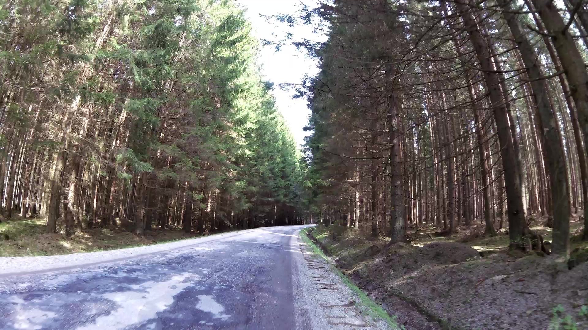
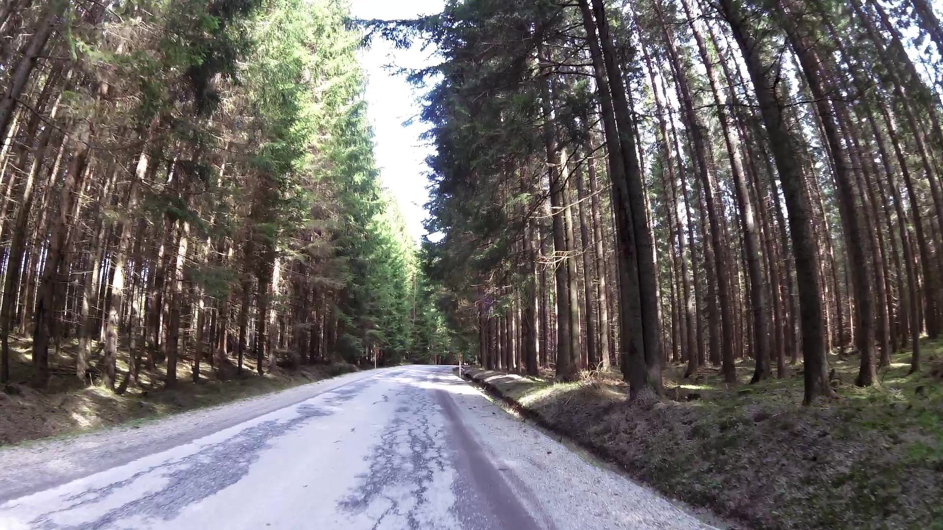
Cycling
difficulty:
Easy
length:
18.36km
total elevation:
239.70m
total descent:
206.00m
navigation:

| 0.00km from start |
18.36km to finish |
m elevation |
0m total elevation |
0m total descent |
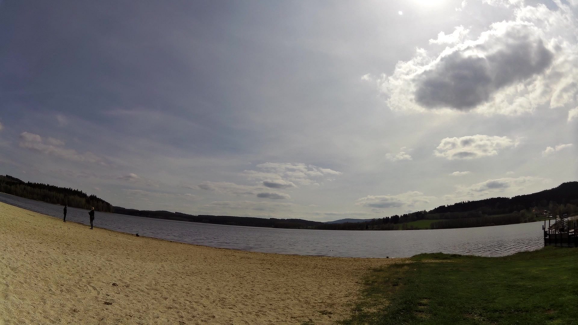
| Horní Plan beach | map | video | |
| Sandwich bar U Méďů | map | video | |
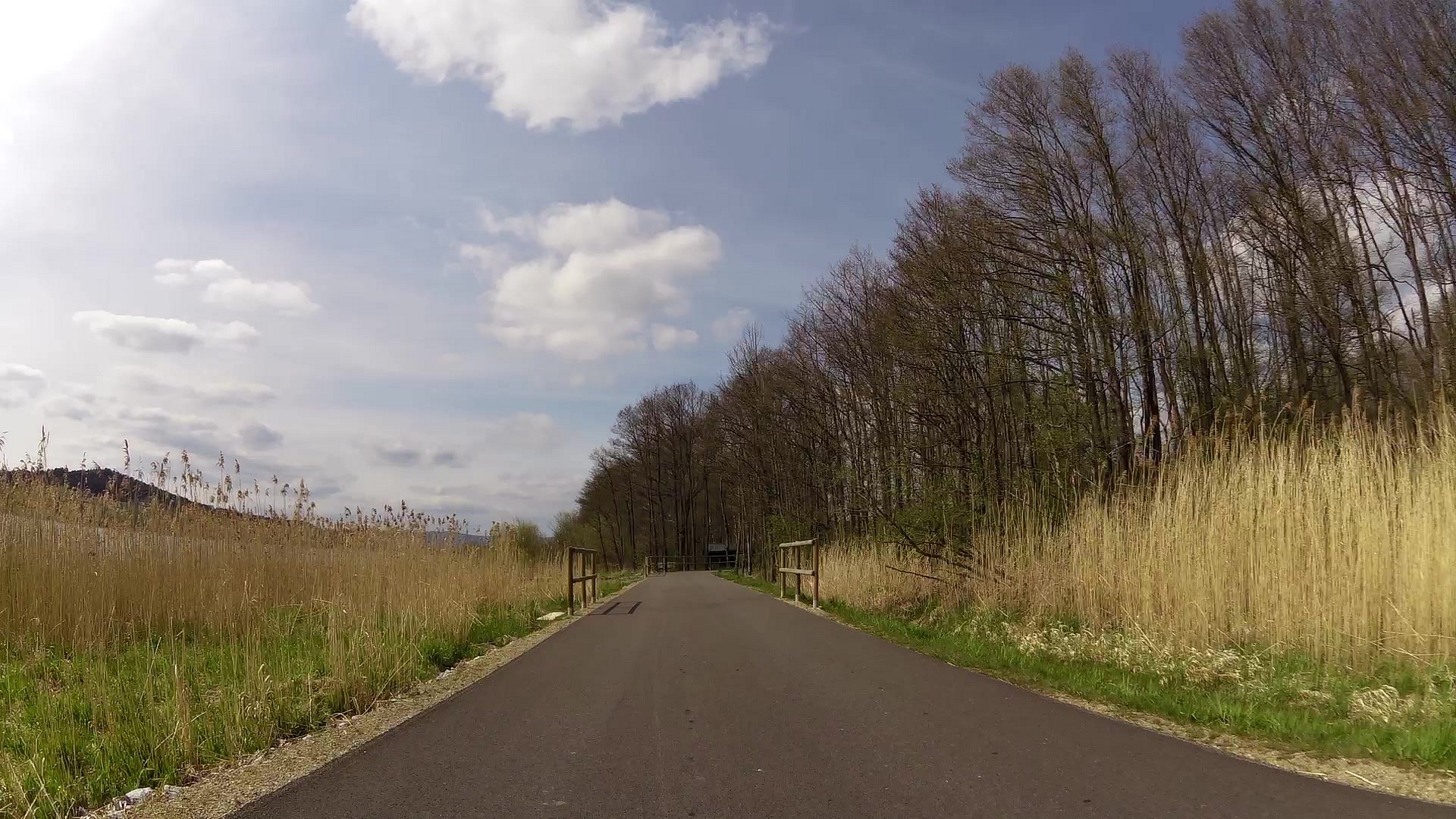
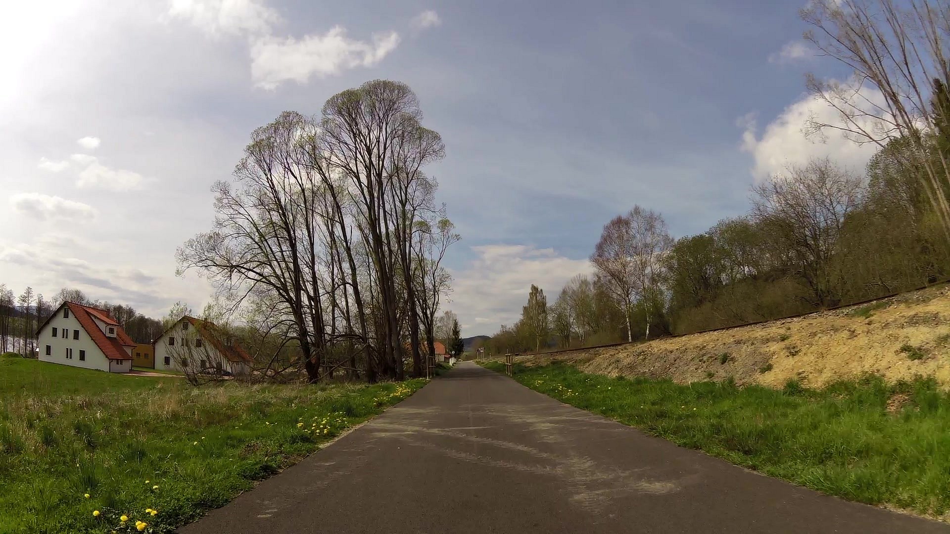
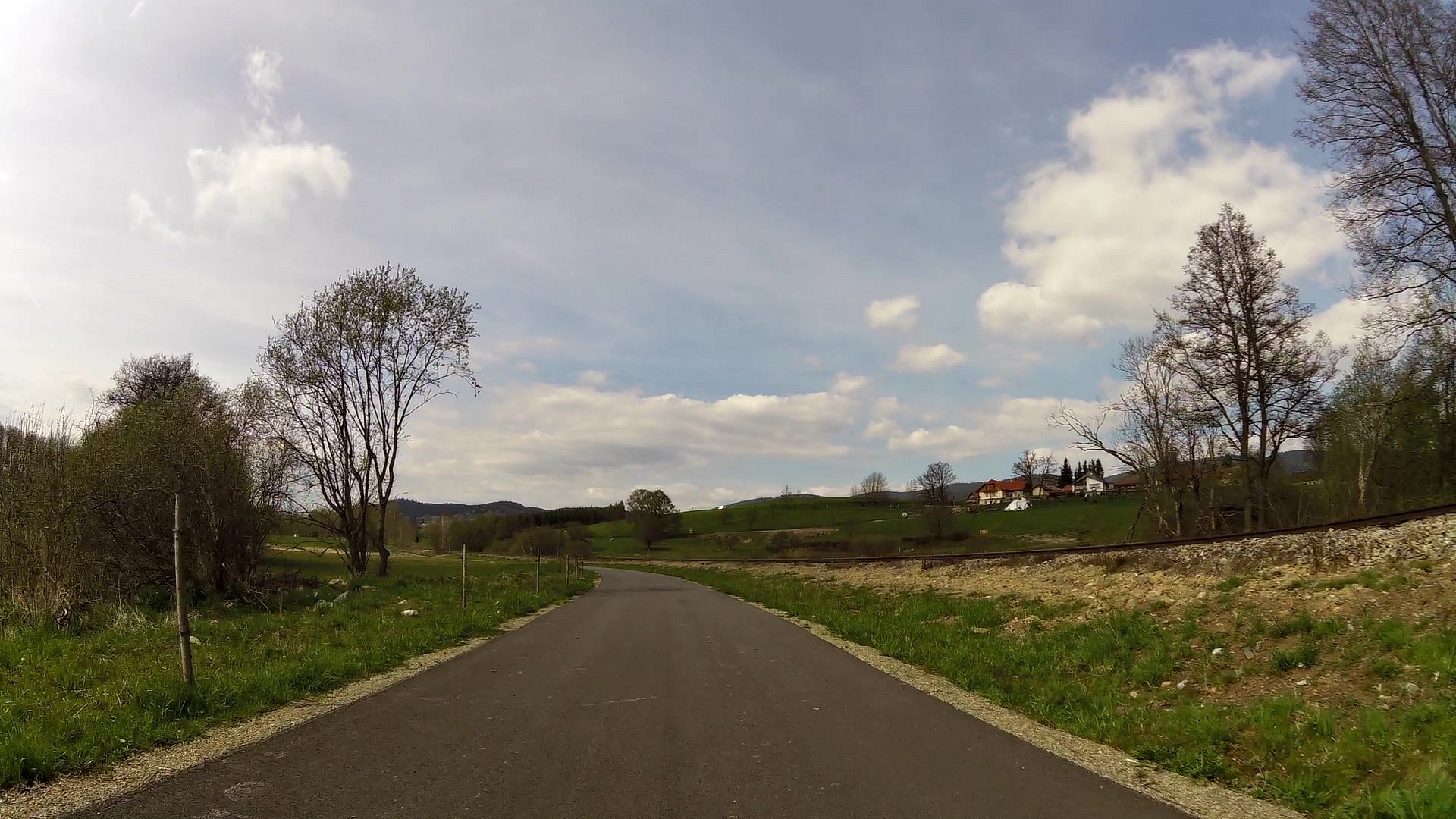
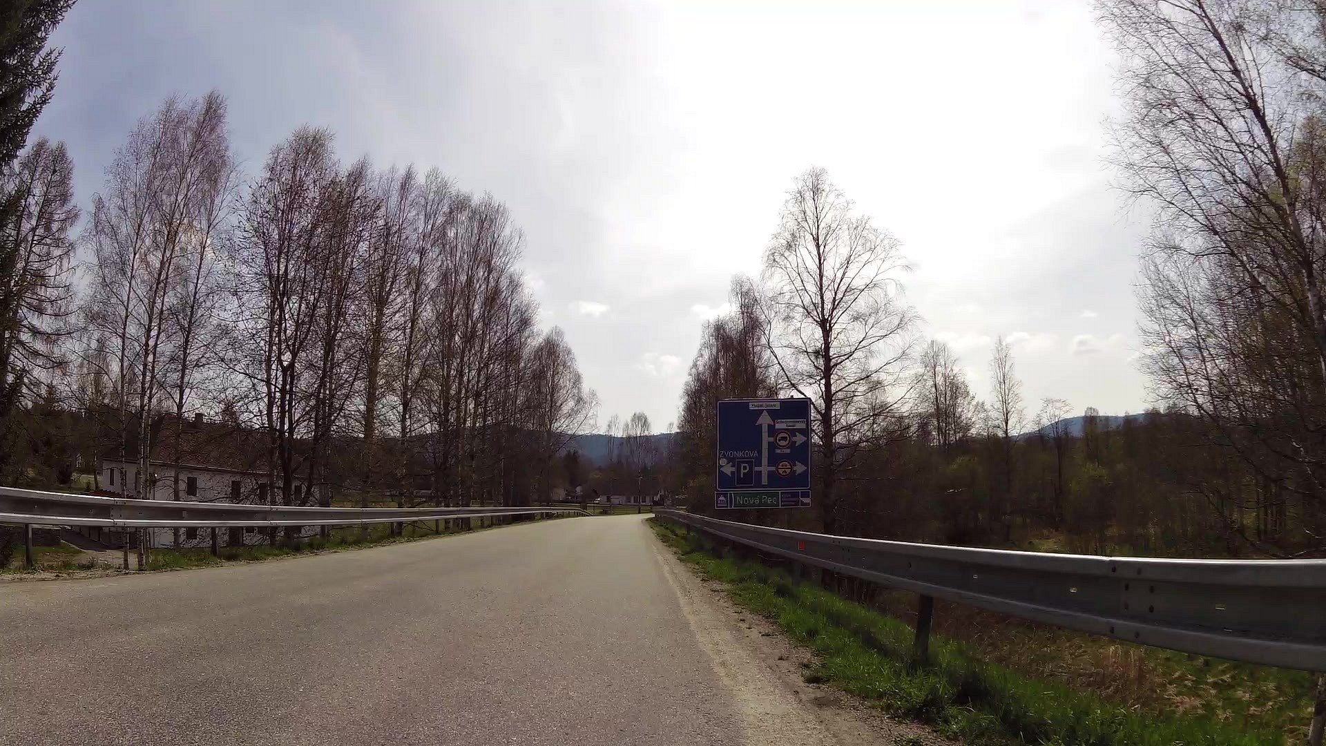
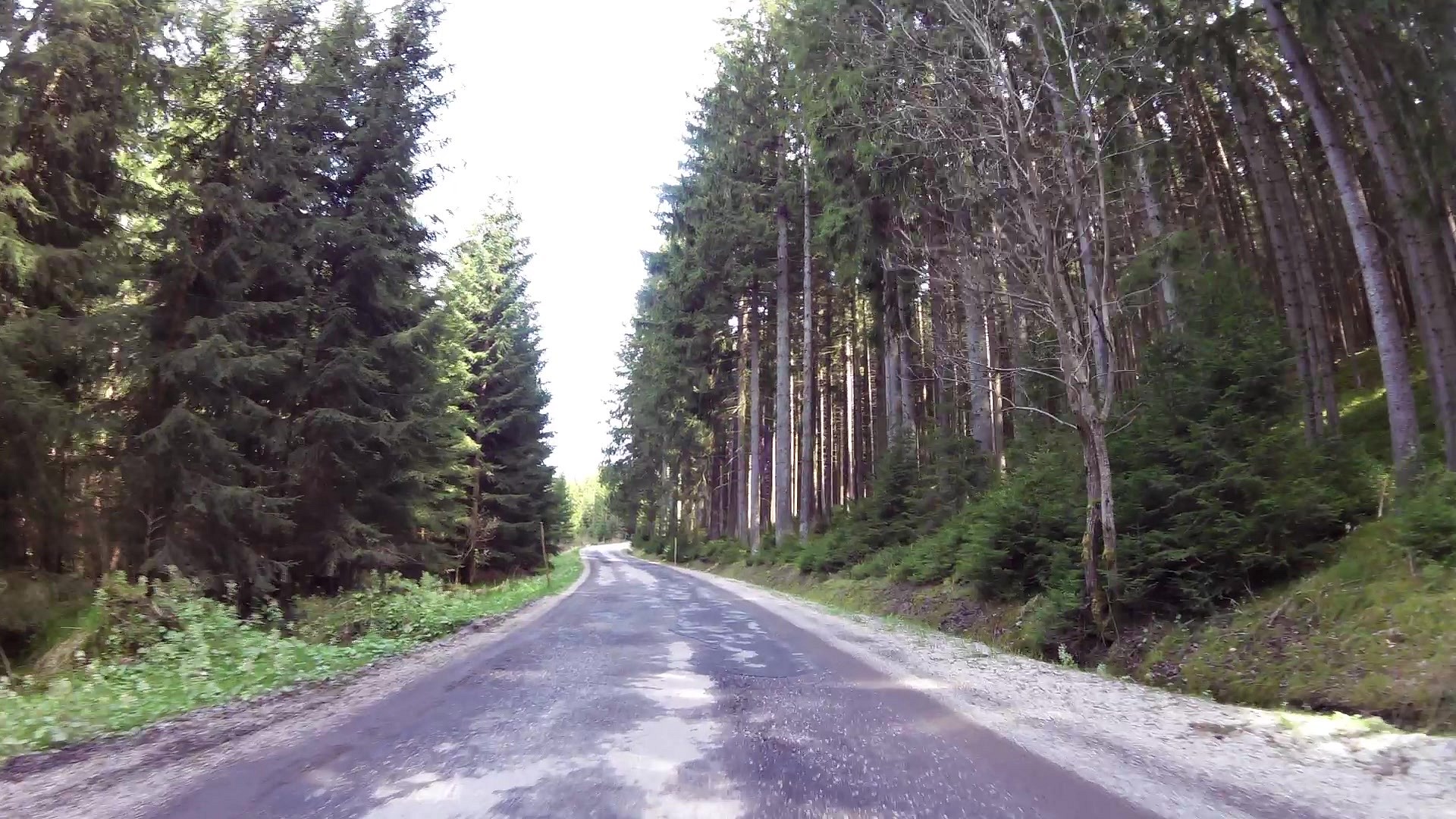
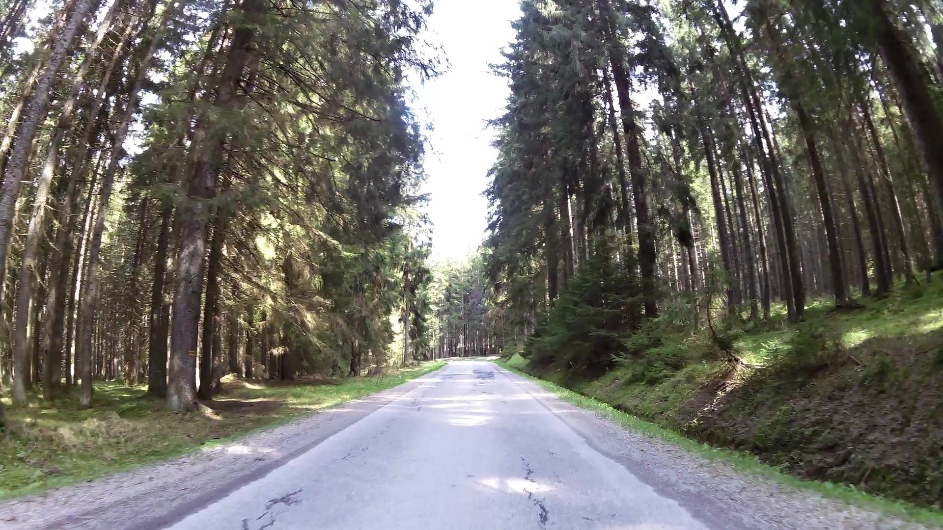
| Cycle route | map | video | |
| Information center Nová Pec | map | video | |
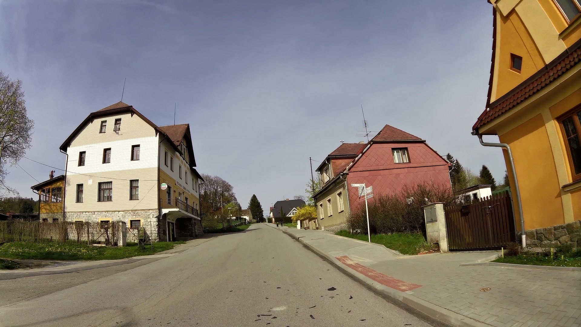
| Nová Pec (city) | map | video | |
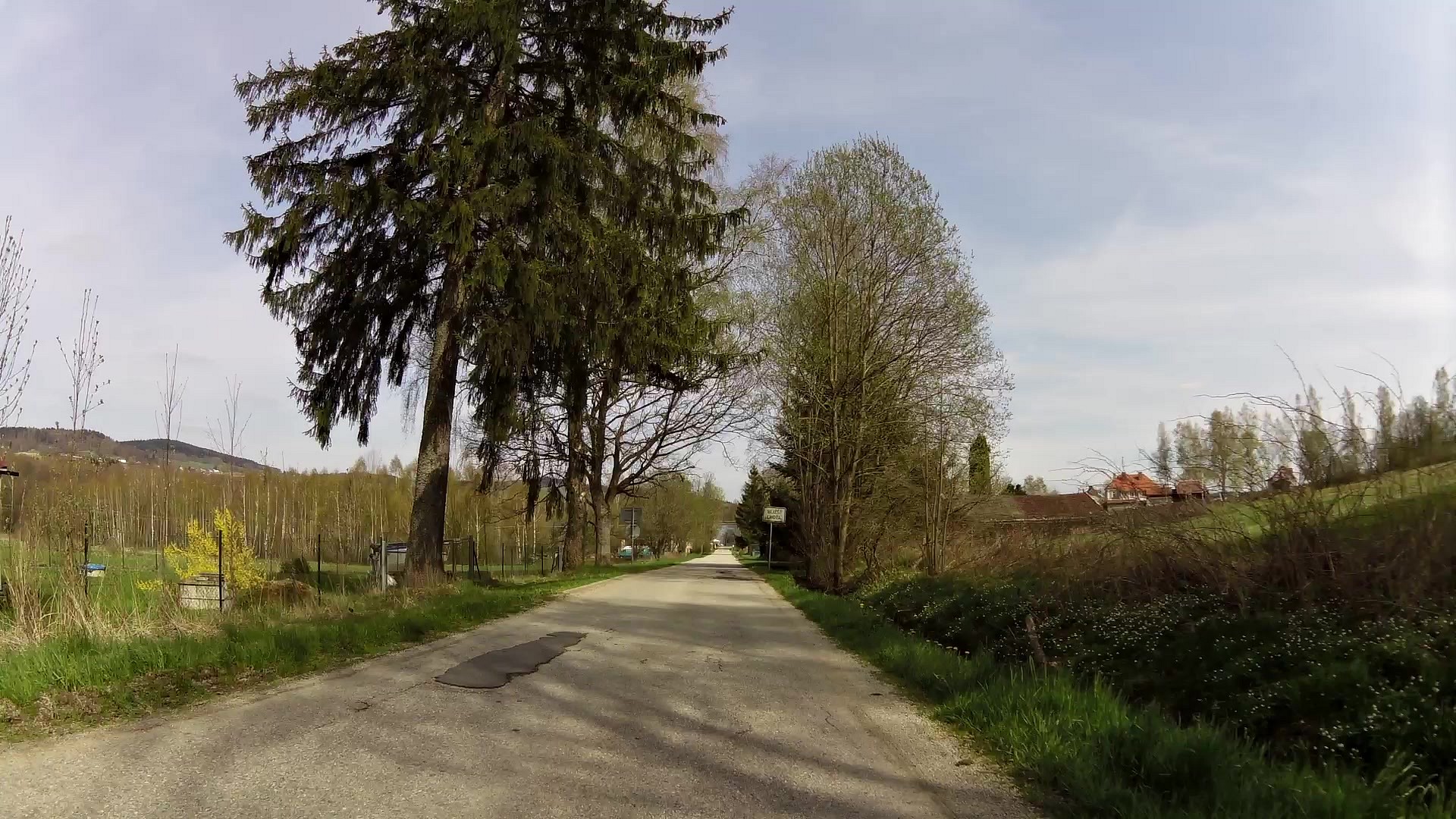
| Bližší Lhota (village) | map | video | |
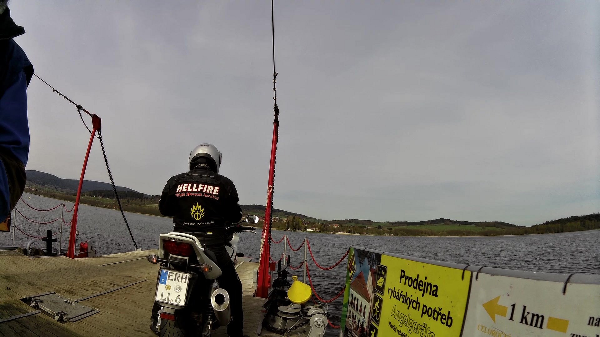
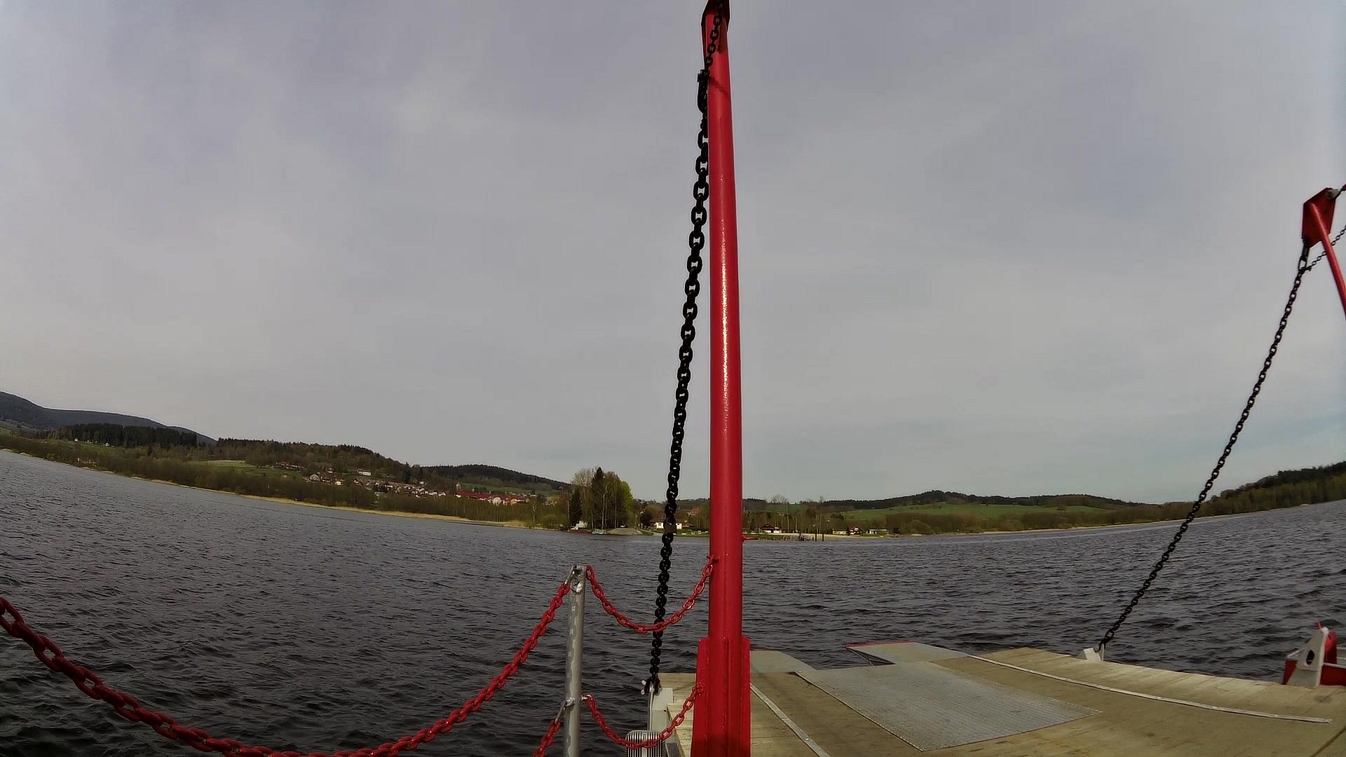
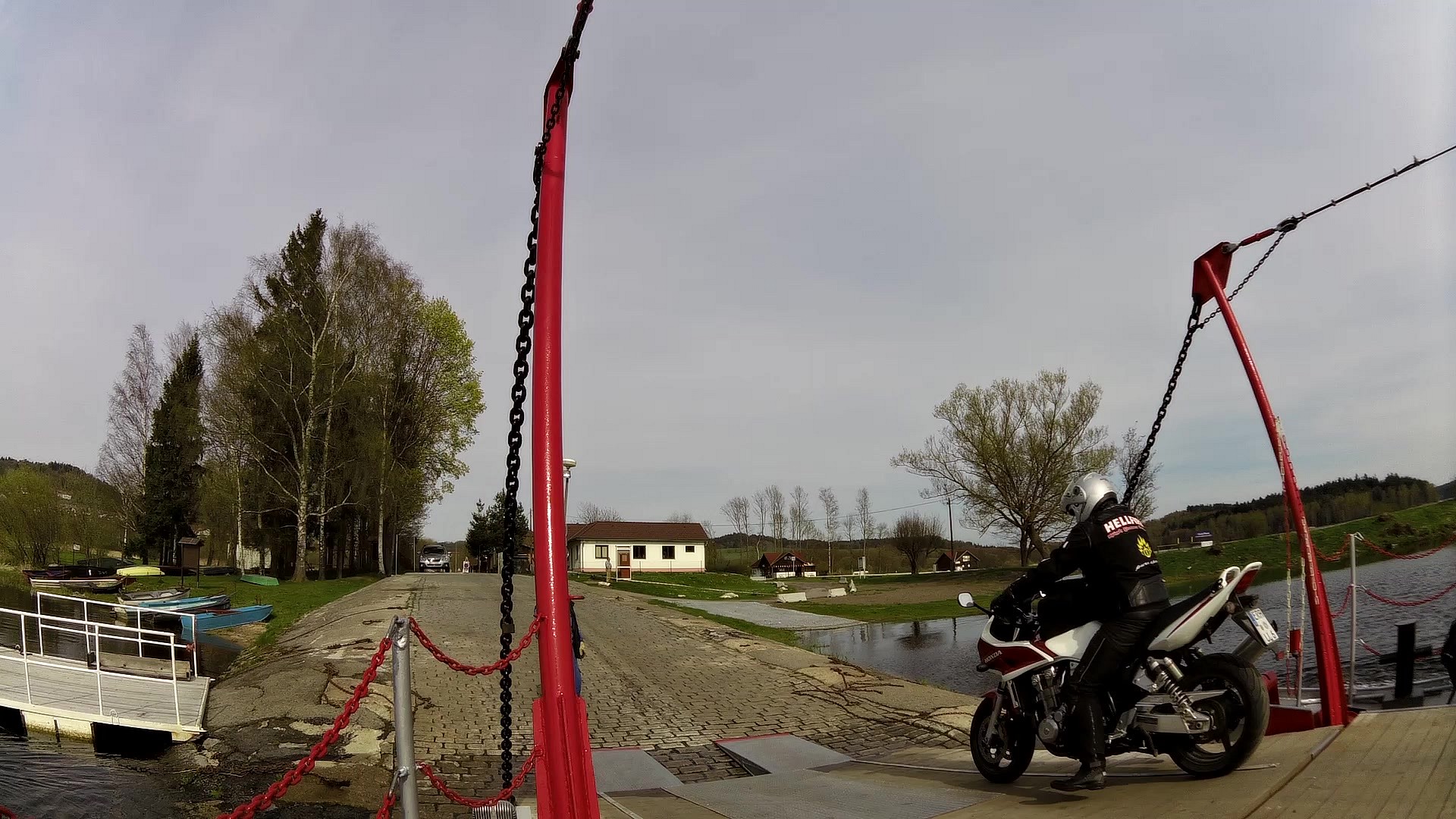
| Horní Planá - Bližší Lhota ferry | map | video | |
| Horní Planá - Bližší Lhota ferry | map | video | |
| Smrčina restauration | map | video | |
| Monument to - Adalbert Stifter's birth house | map | video | |
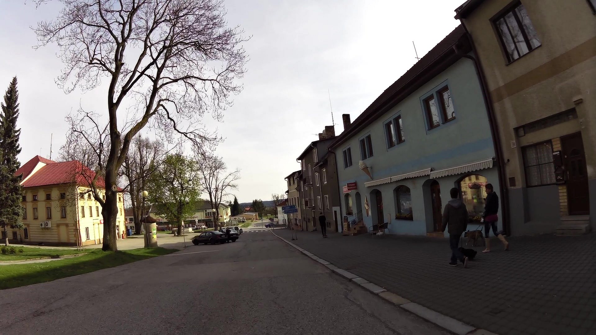
| Cultural and Information Centre Horní Planá | map | video | |
| Sain Margaret church | map | video |


![]() Back to the list of videoroutes
Back to the list of videoroutes


