like:
type:
Walking tour
difficulty:
Easy
length:
9.44km
total elevation:
269.20m
total descent:
268.10m
navigation:

| 0.00km from start |
9.44km to finish |
m elevation |
0m total elevation |
0m total descent |
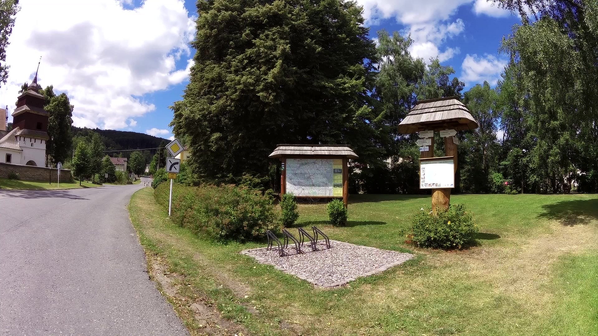
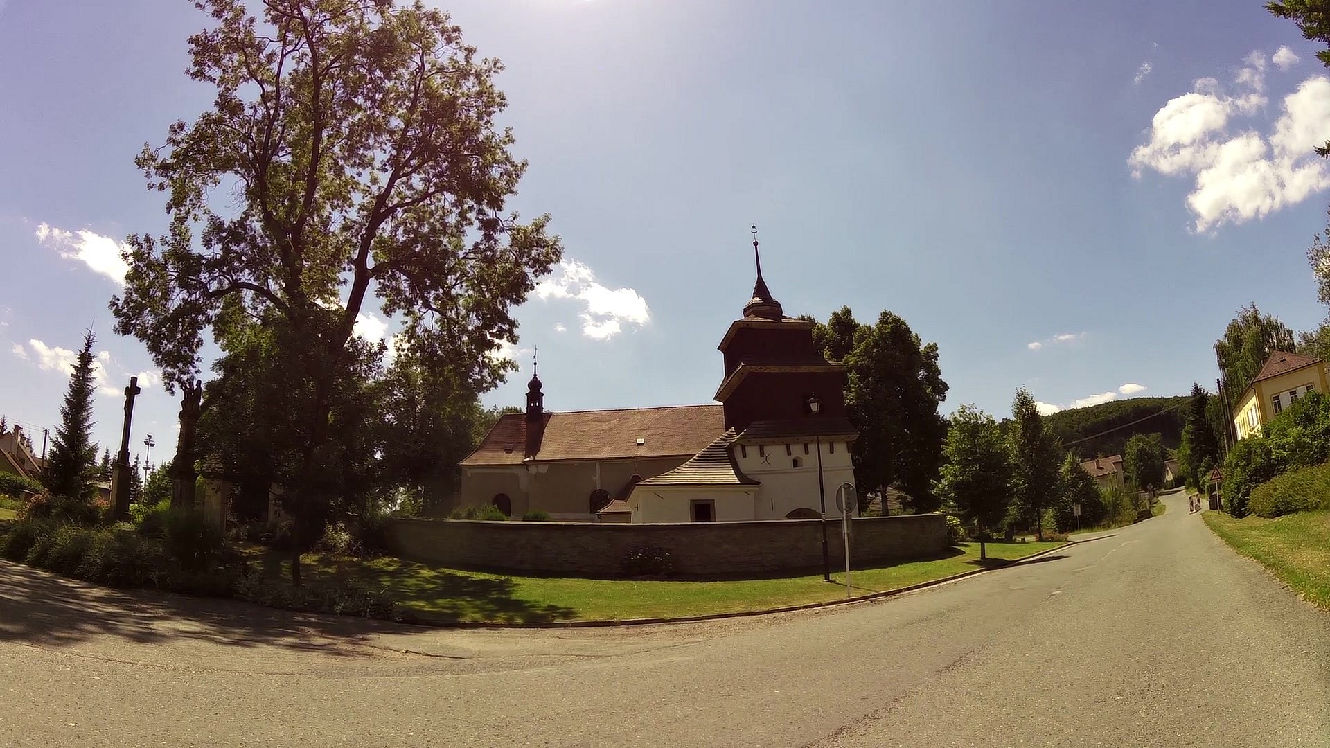
| Semanín square | map | video | |
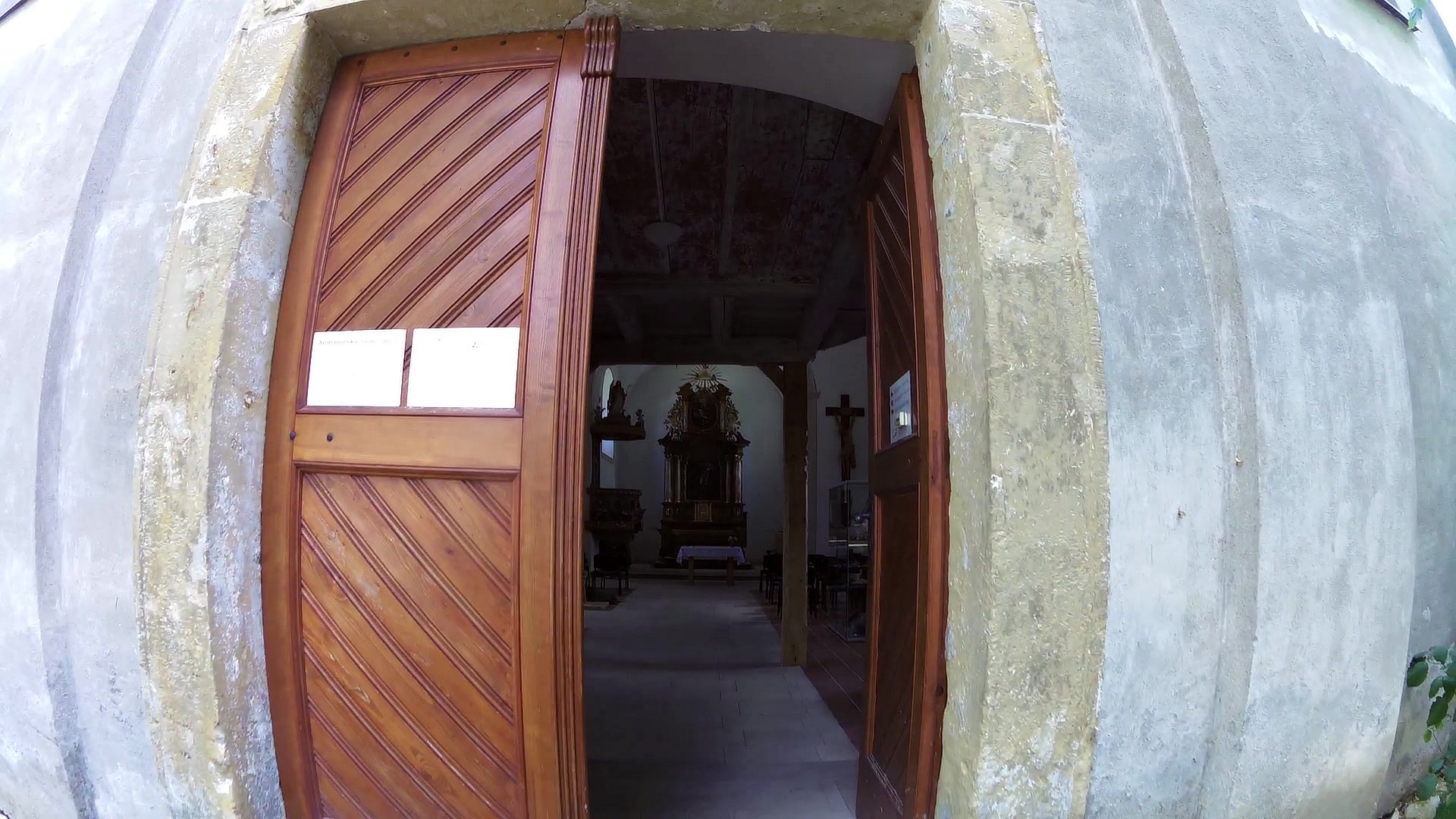
| Fortified bell tower at the church of St. Bartholomew | map | video | |
| Conciliation cross in the forest Bukač | map | video | |
| The municipal orchard | map | video | |
| By the little chapel | map | video | |
| Knajpoviště | map | video | |
| A lookout point | map | video | |
| U Salaše/ By the sheepfarm | map | video | |
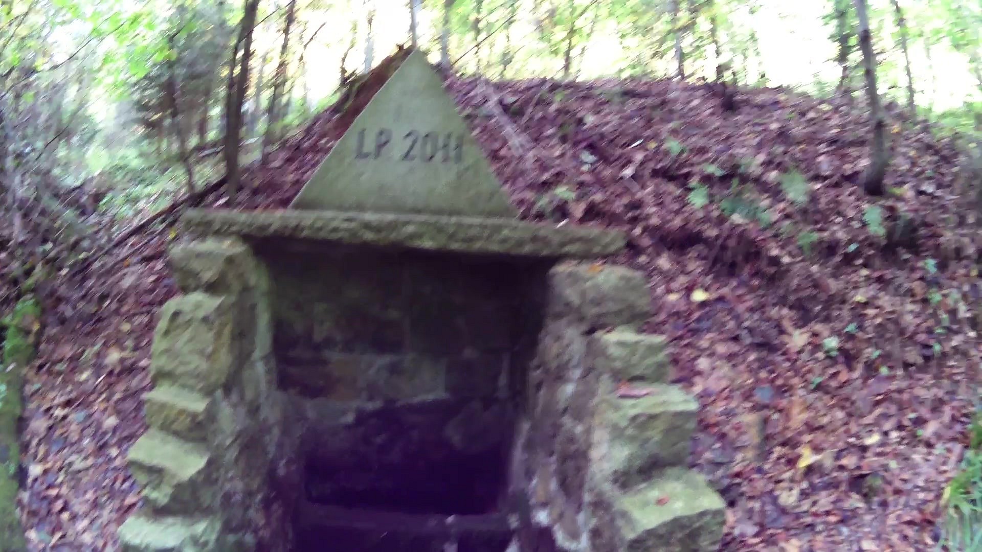
| U Salaše/ By the sheepfarm - a spring and an adit | map | video | |
| A shooting range | map | video |
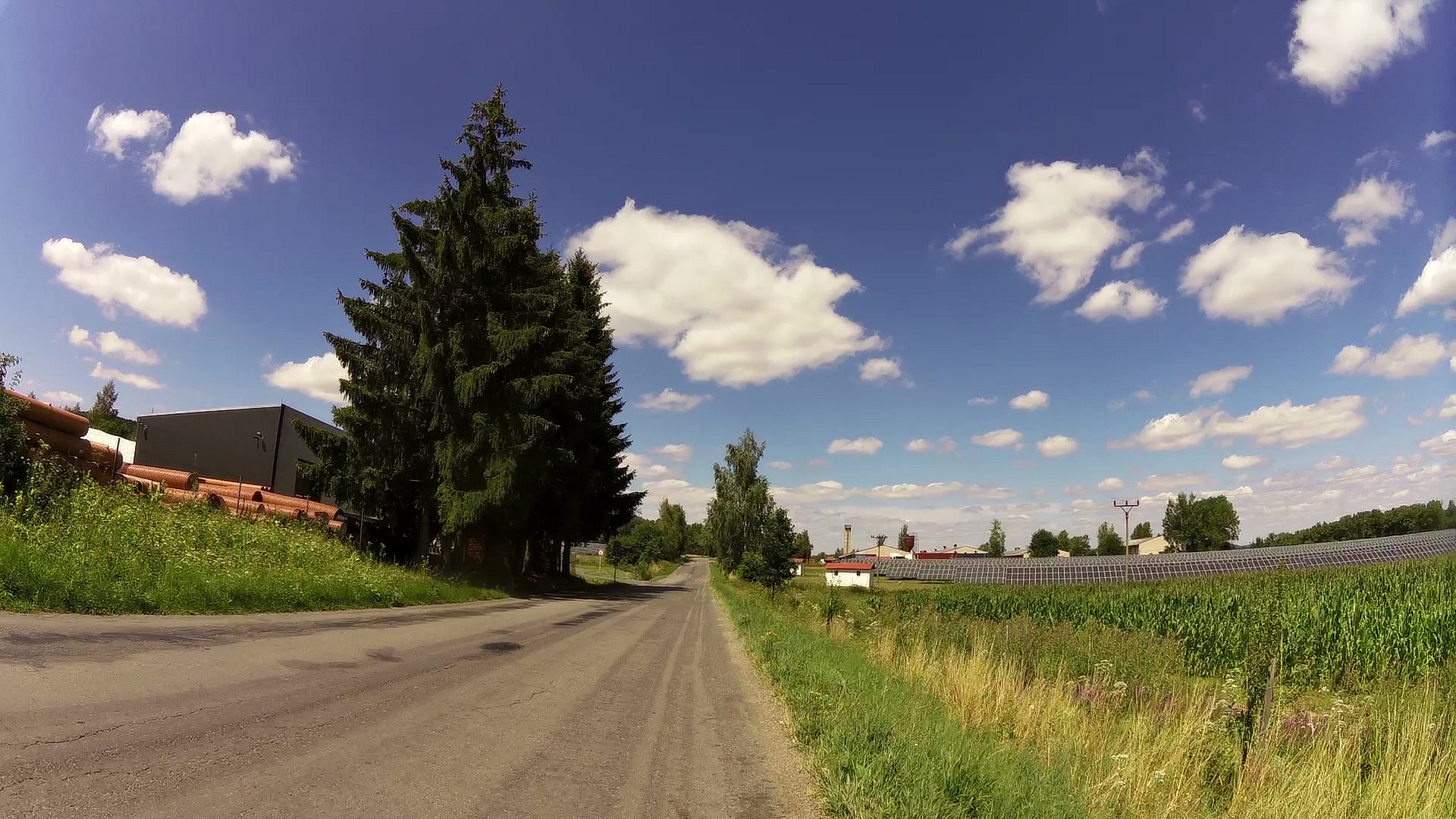
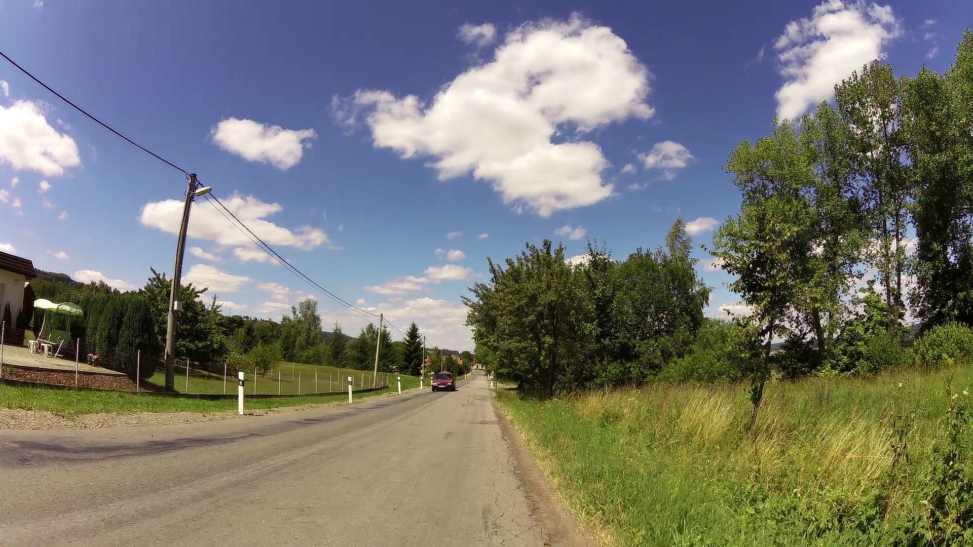
The ČSOP trail has 10 stops marked with letters. It is the backbone of Semanín trails.
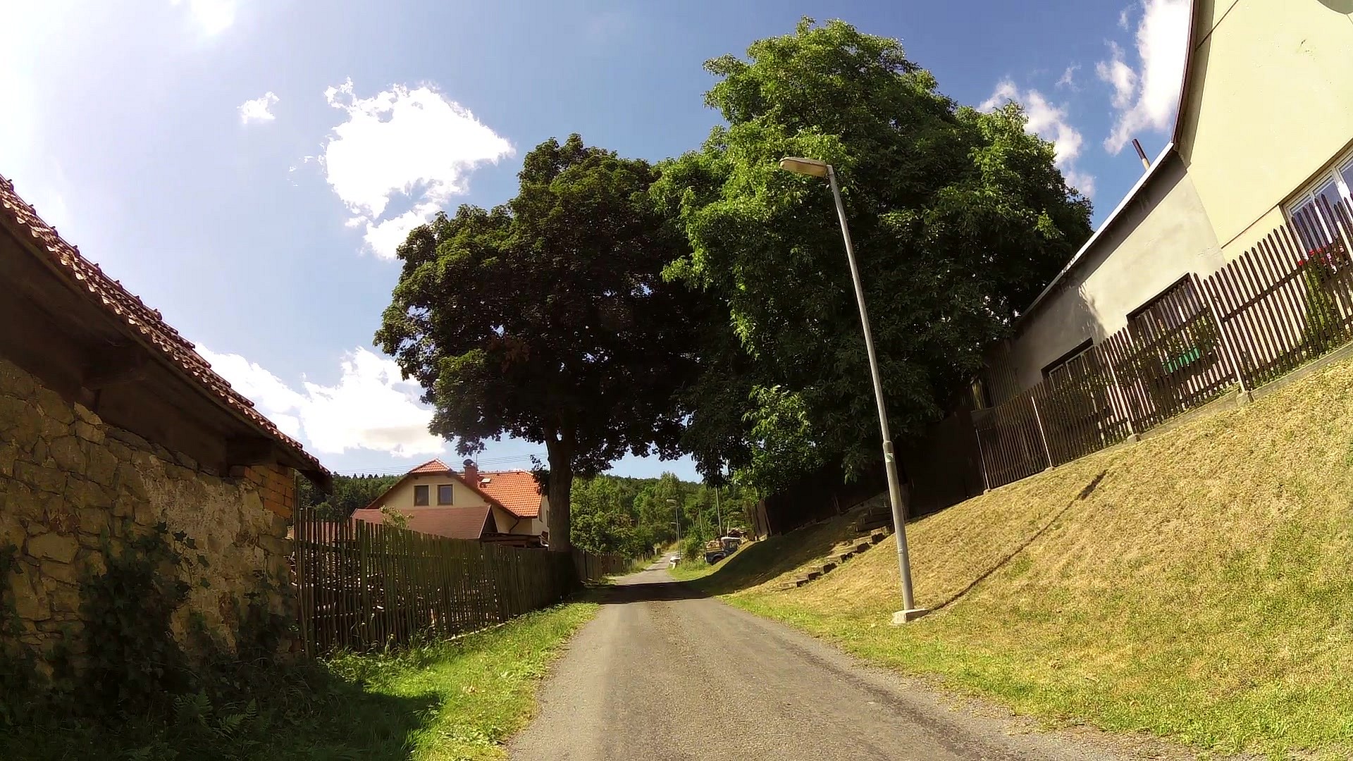
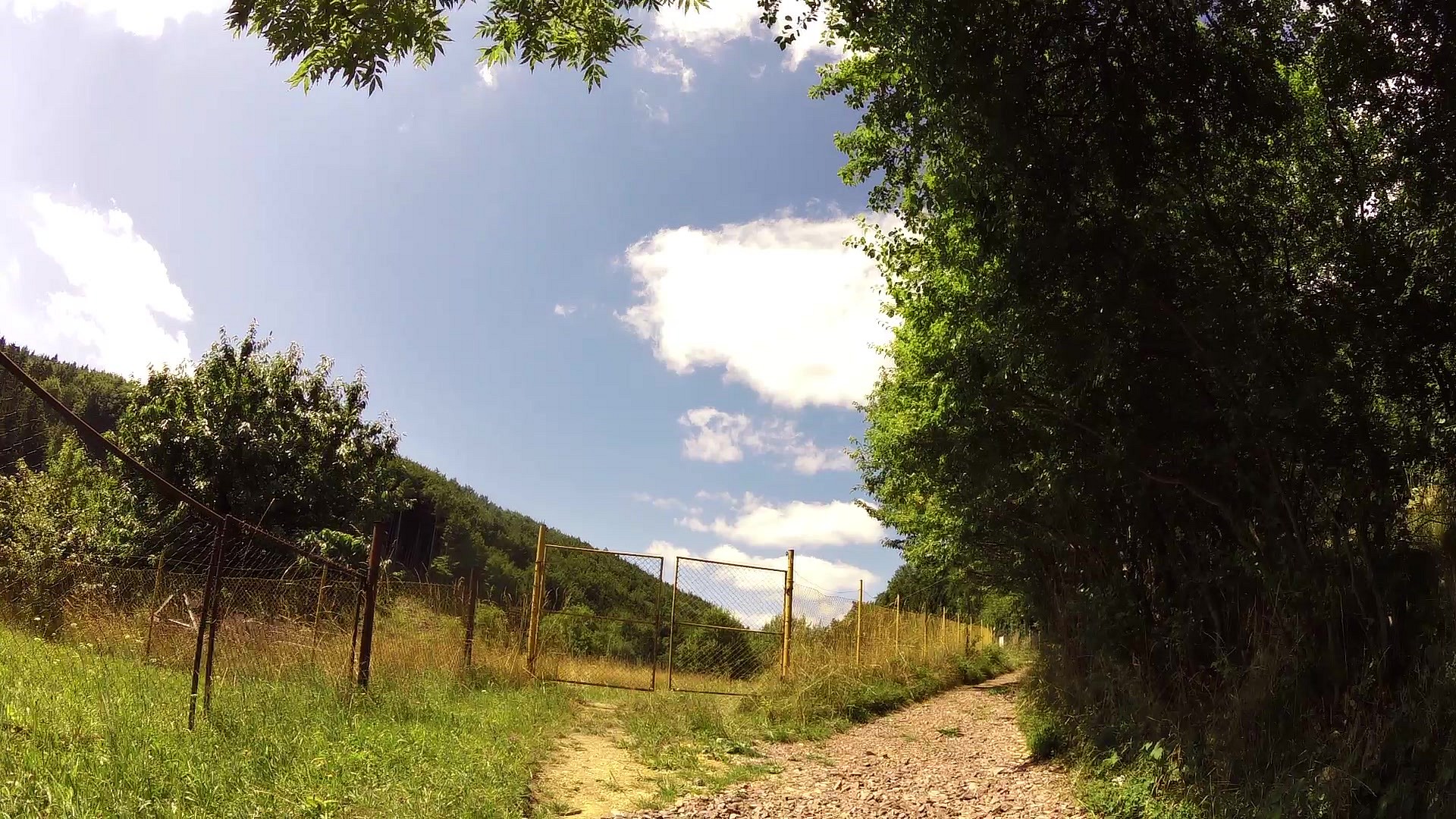
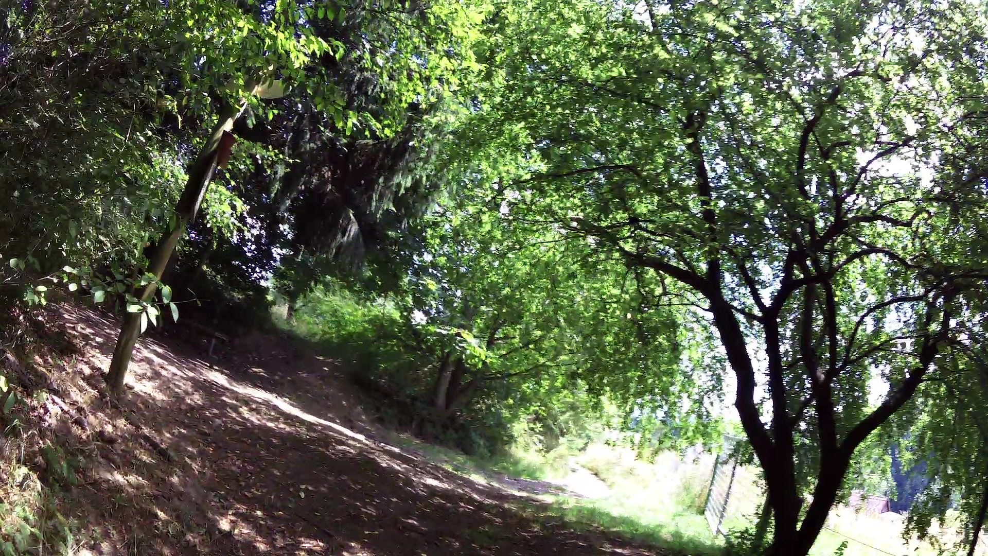
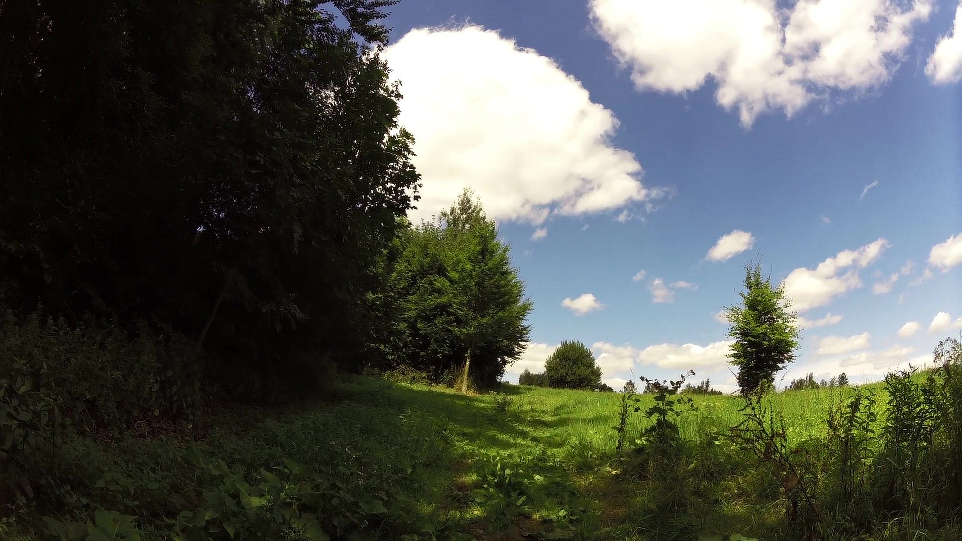
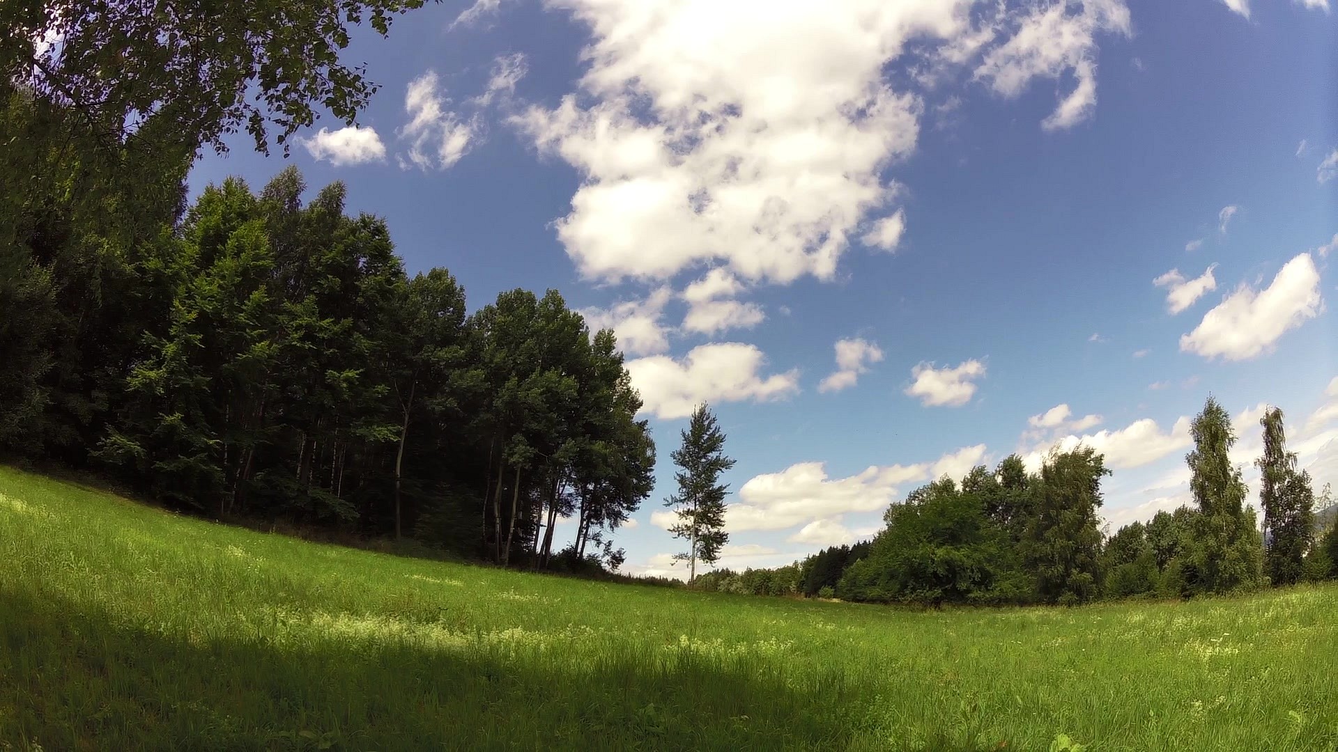
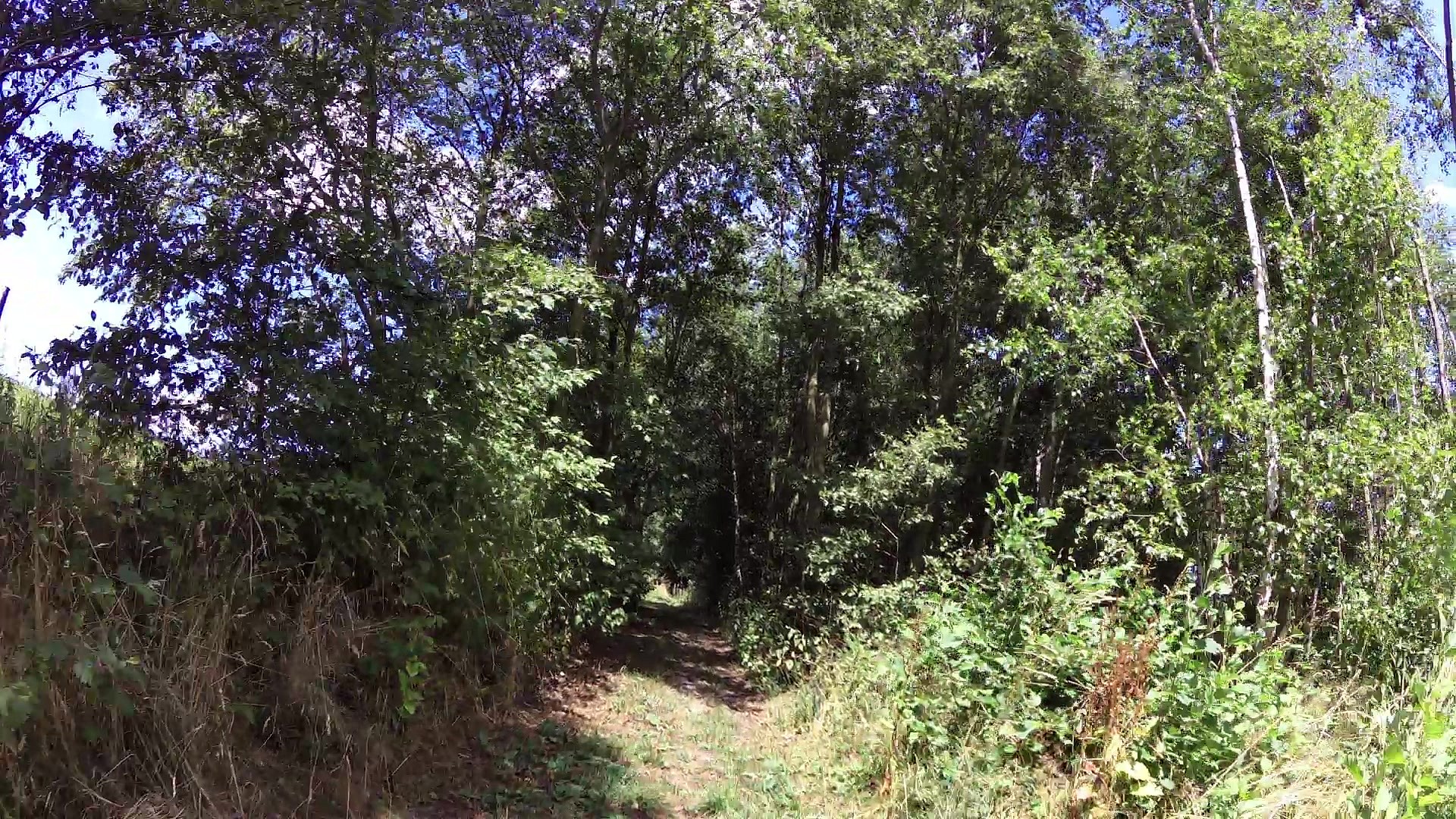
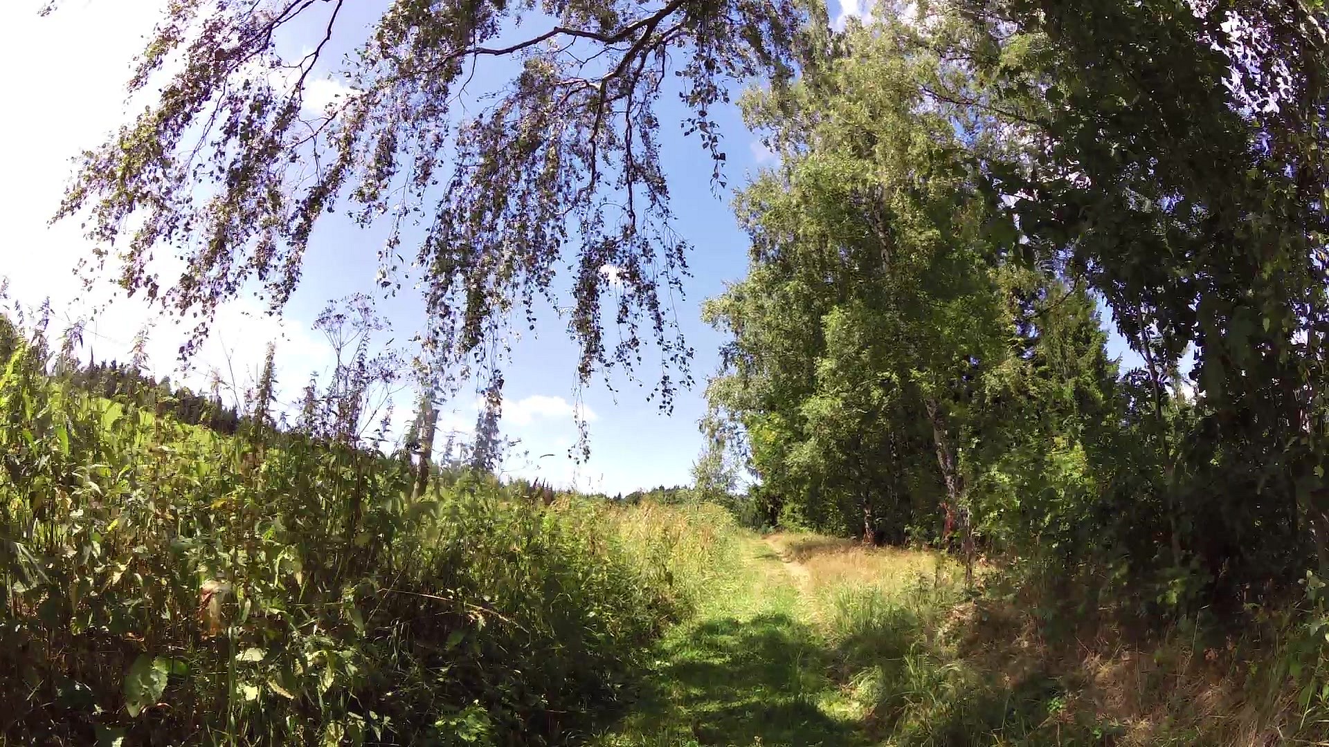
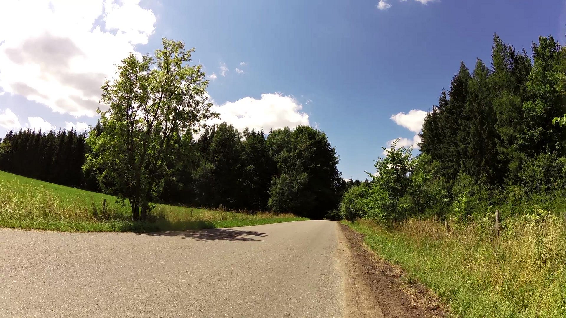
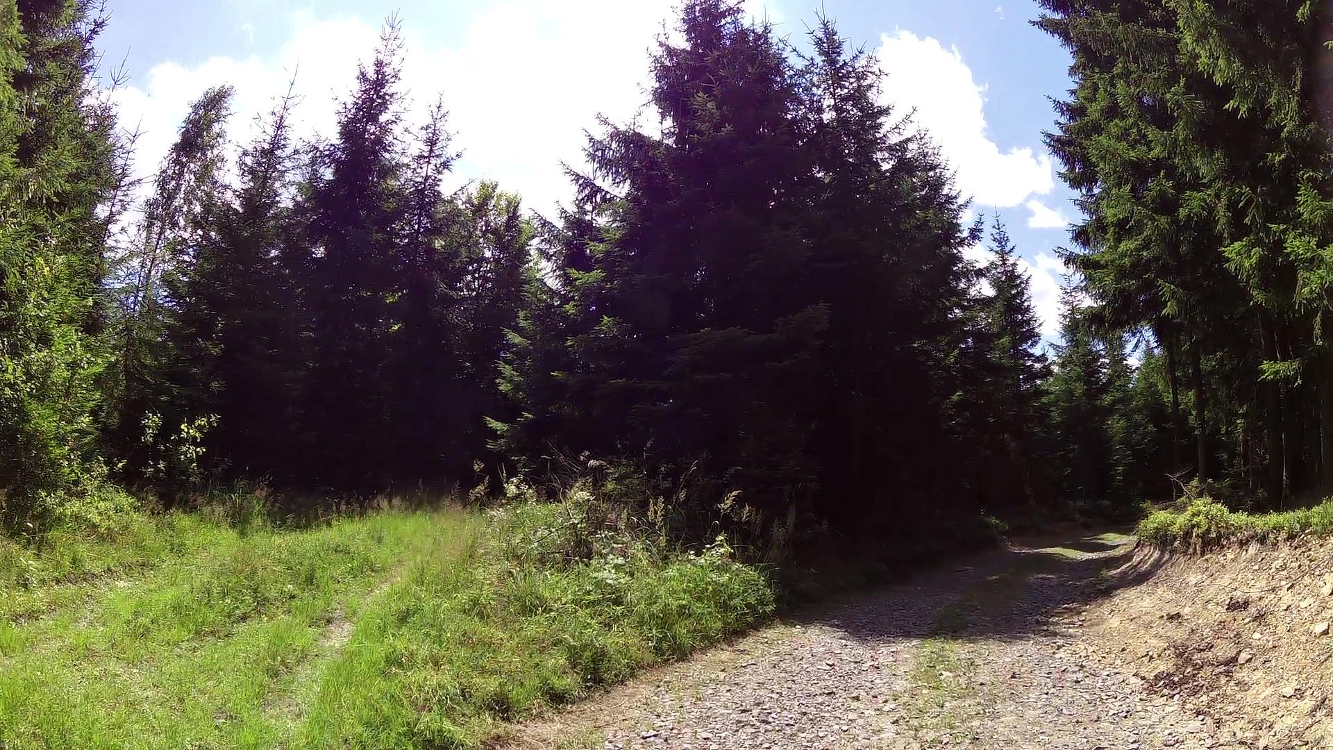
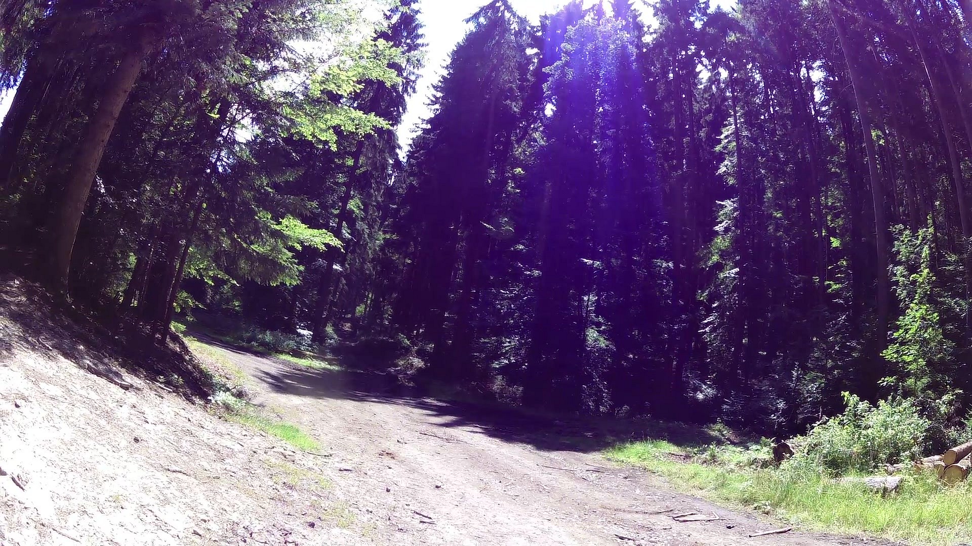
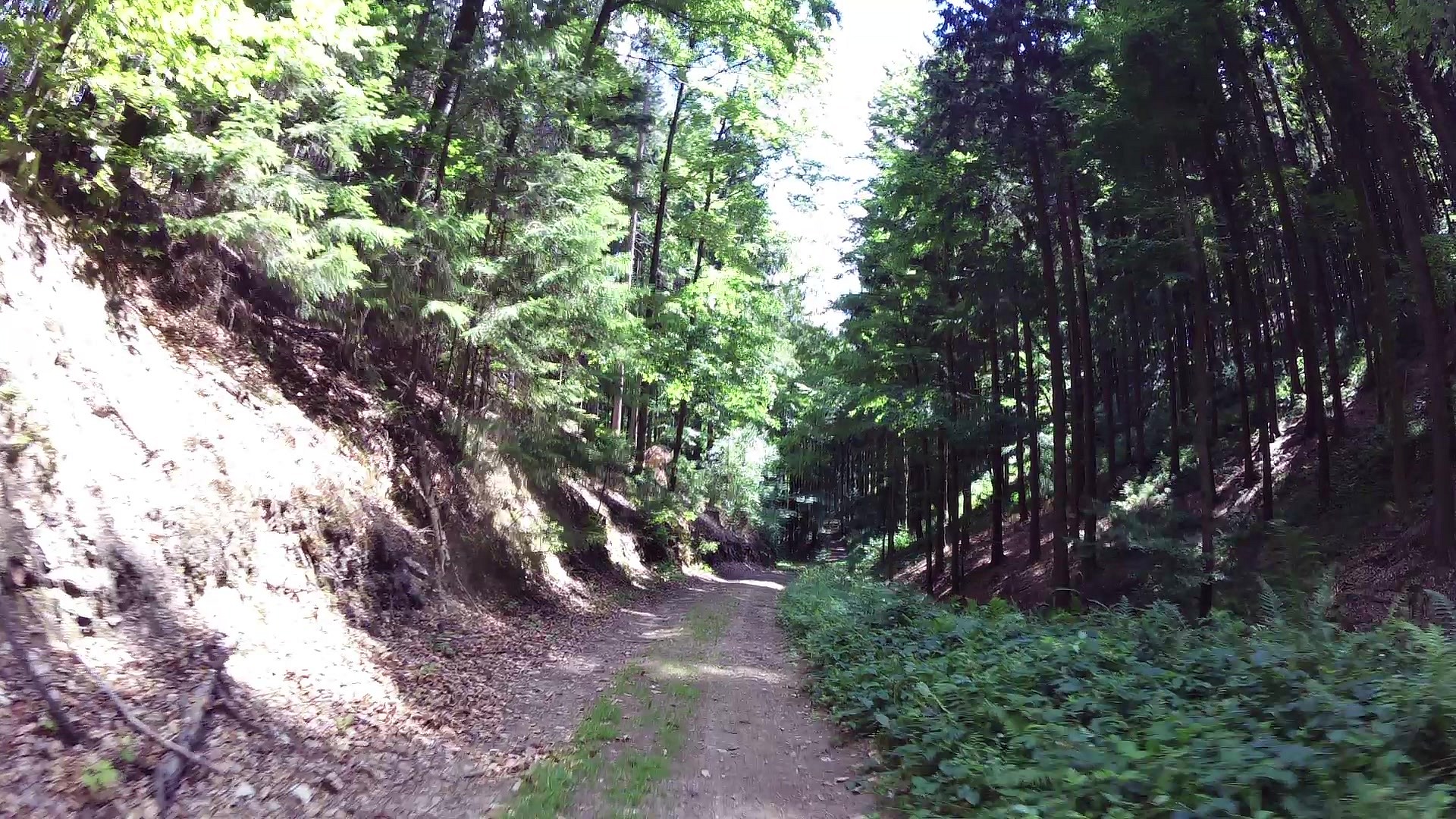
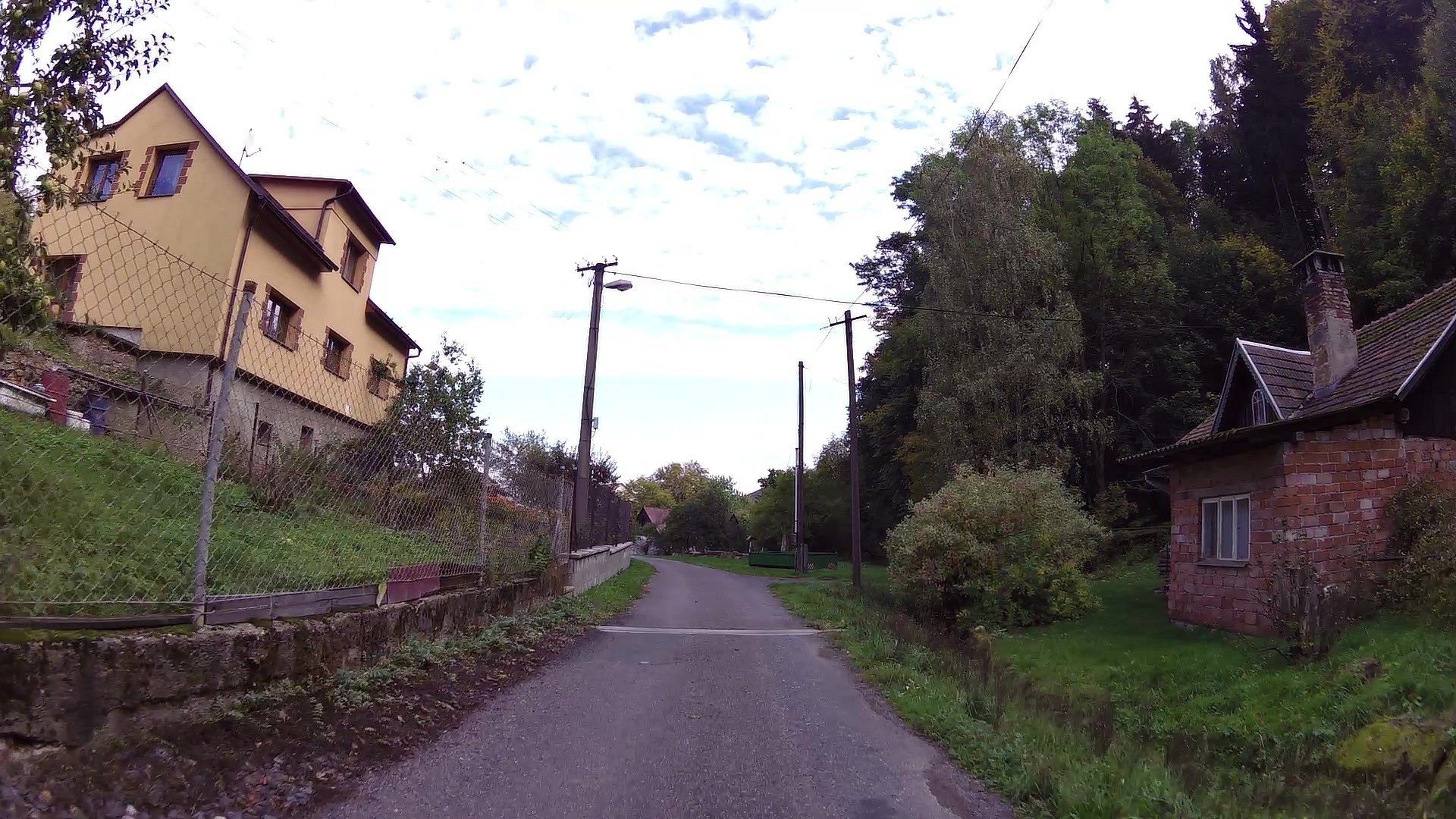
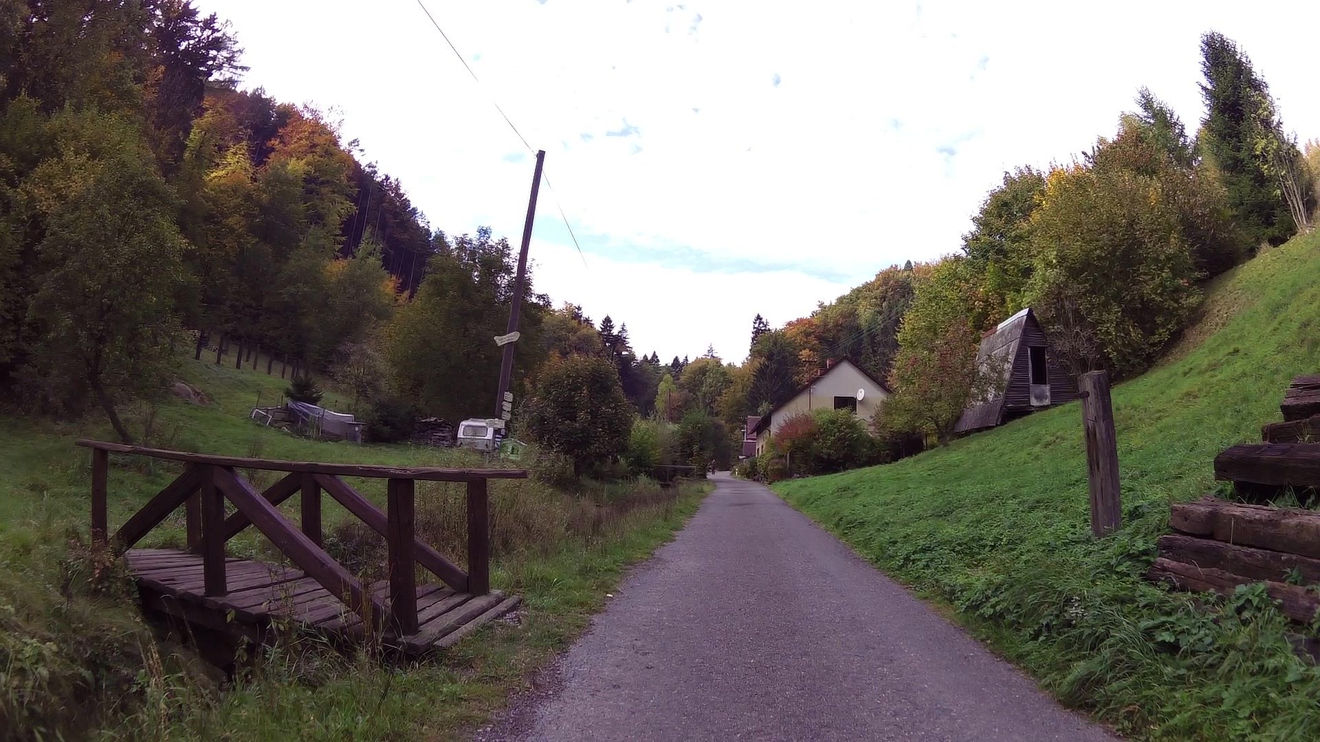
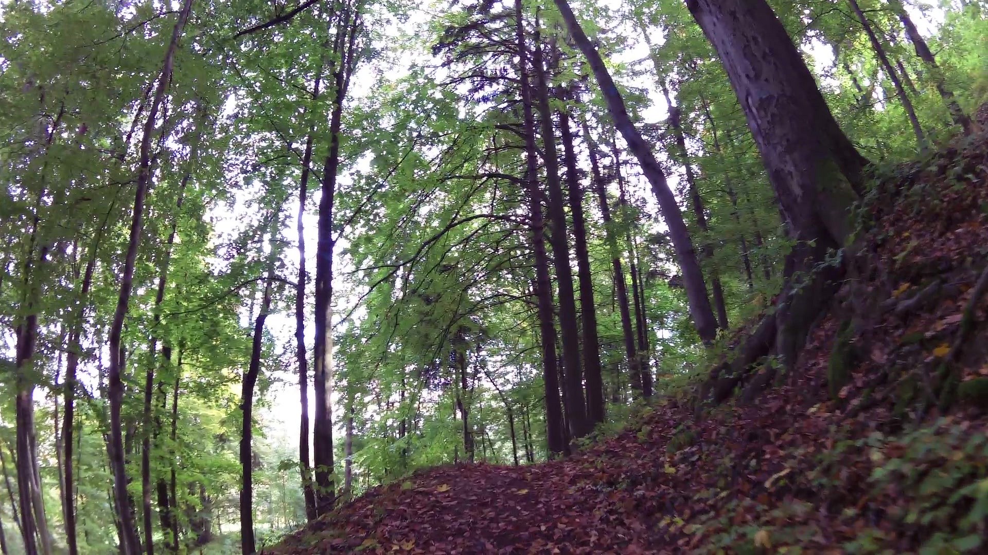
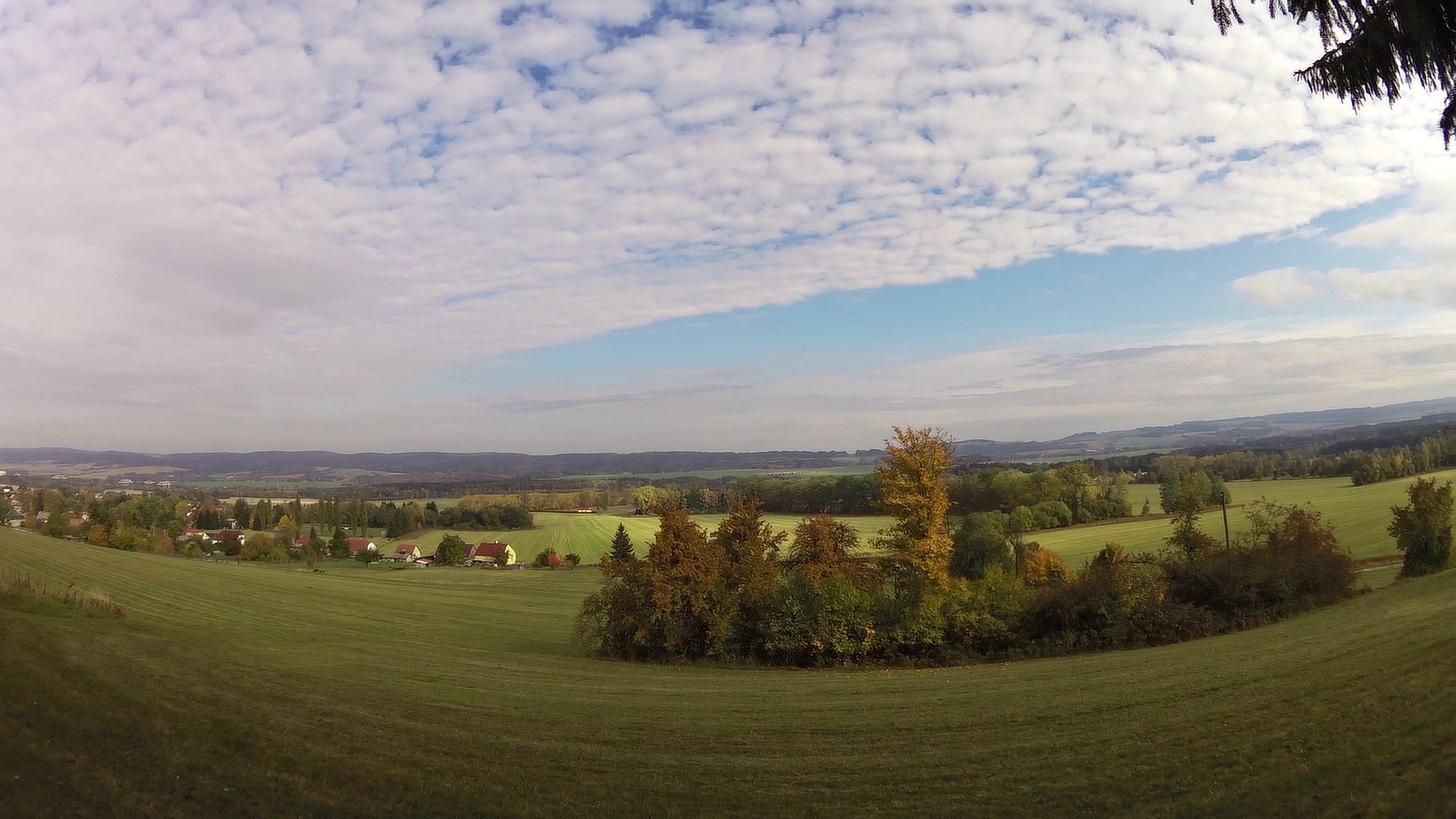
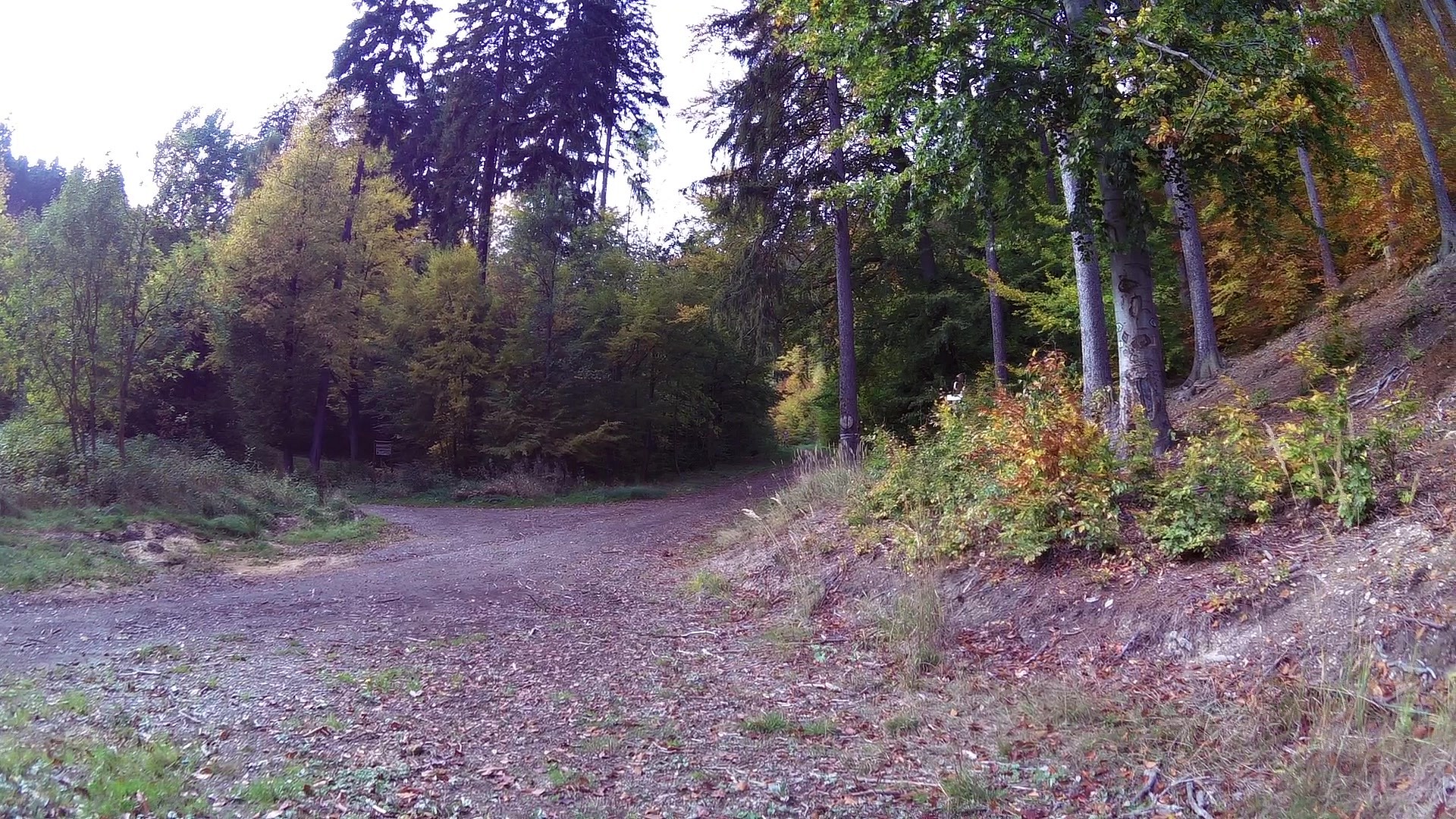
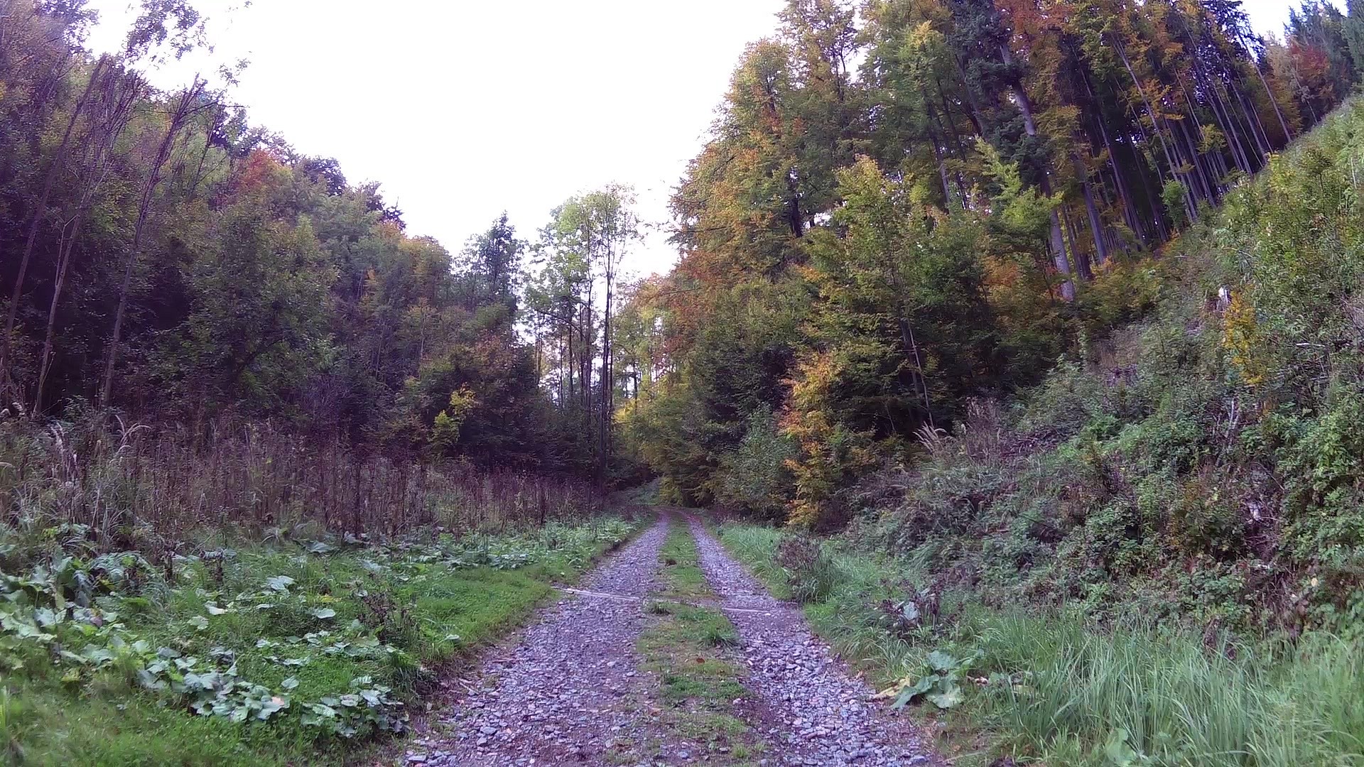
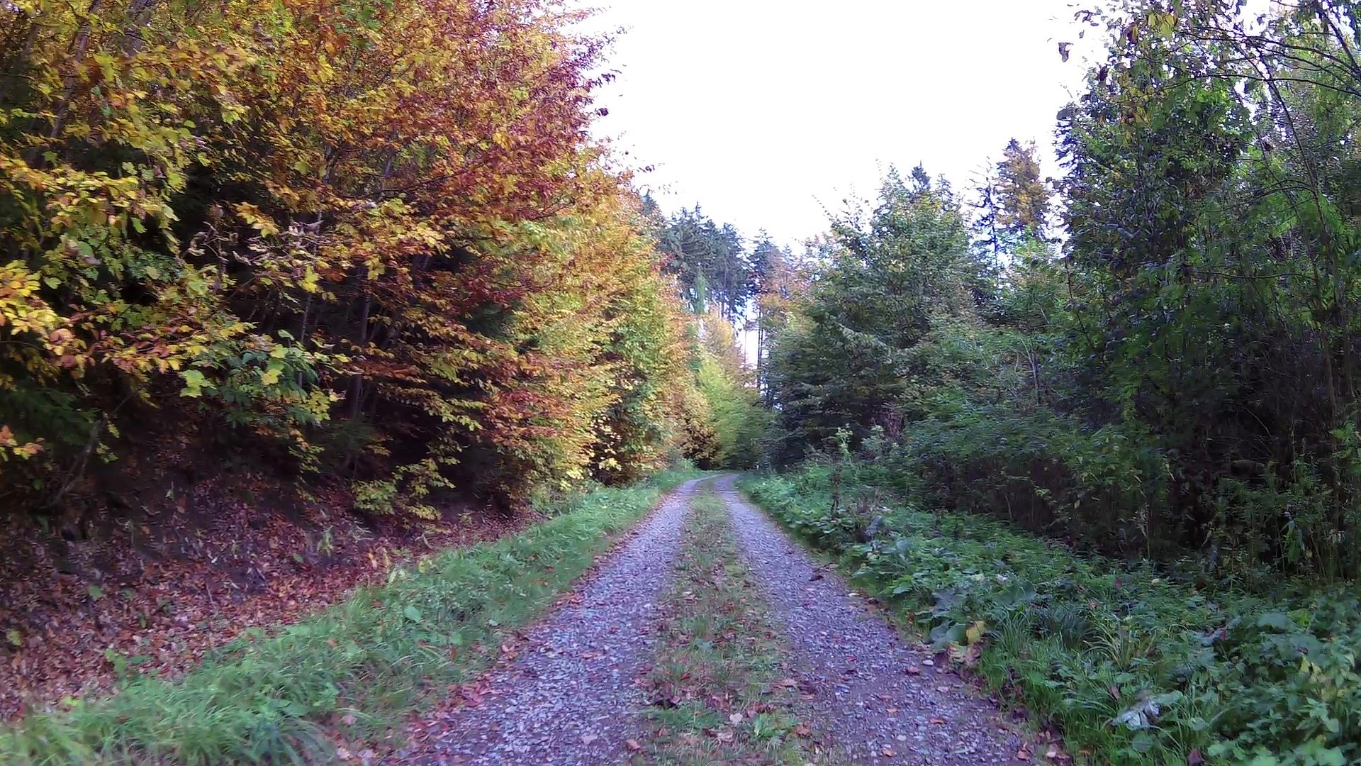
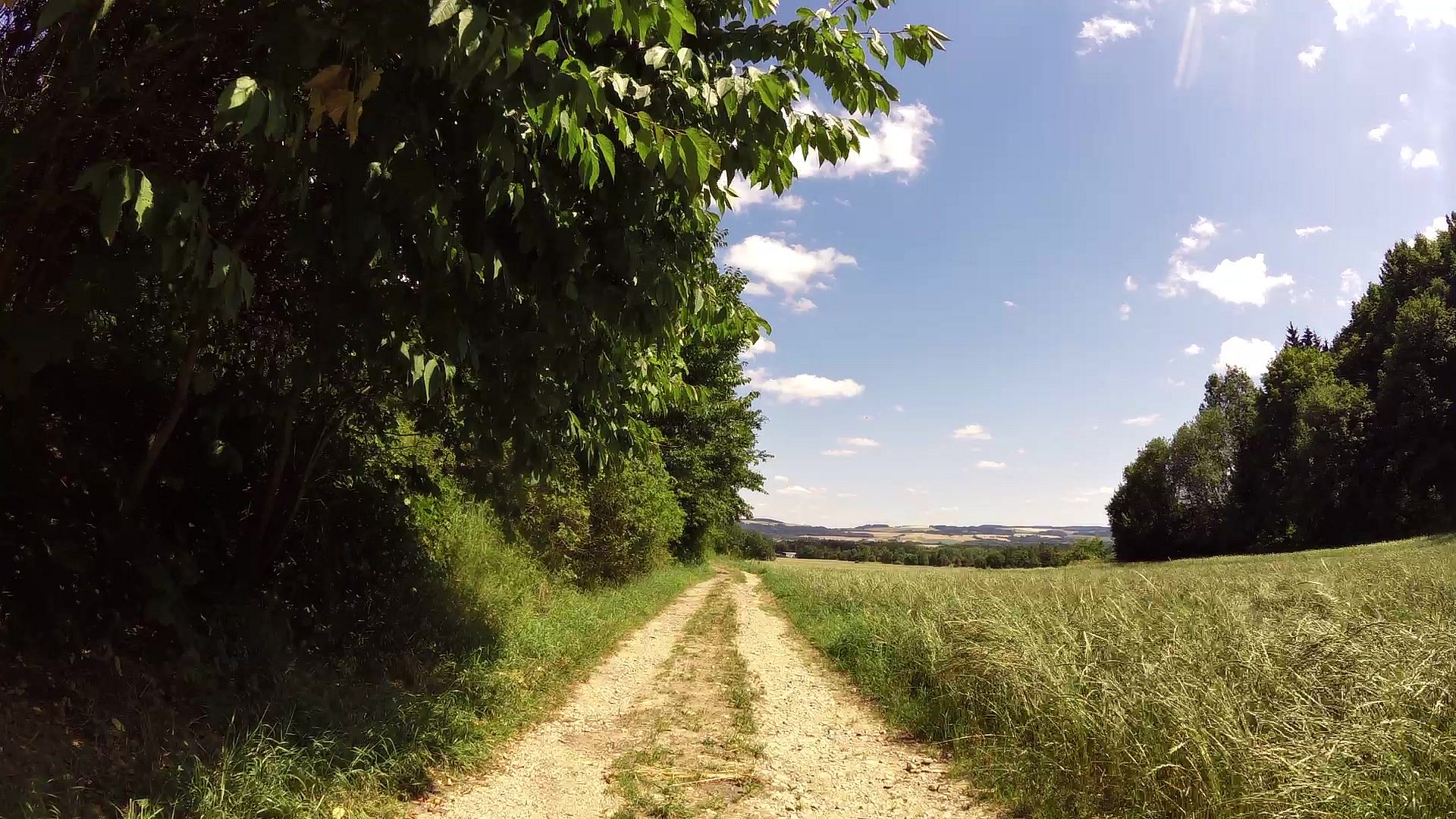
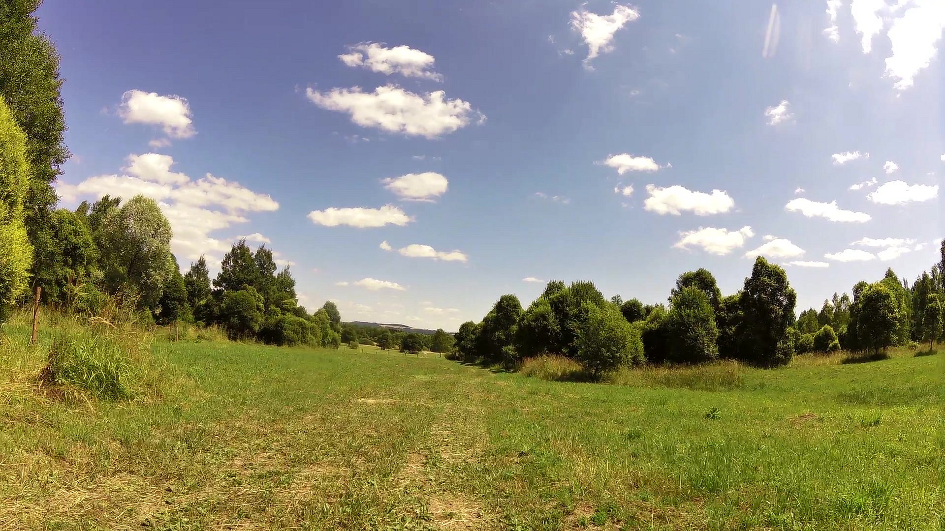
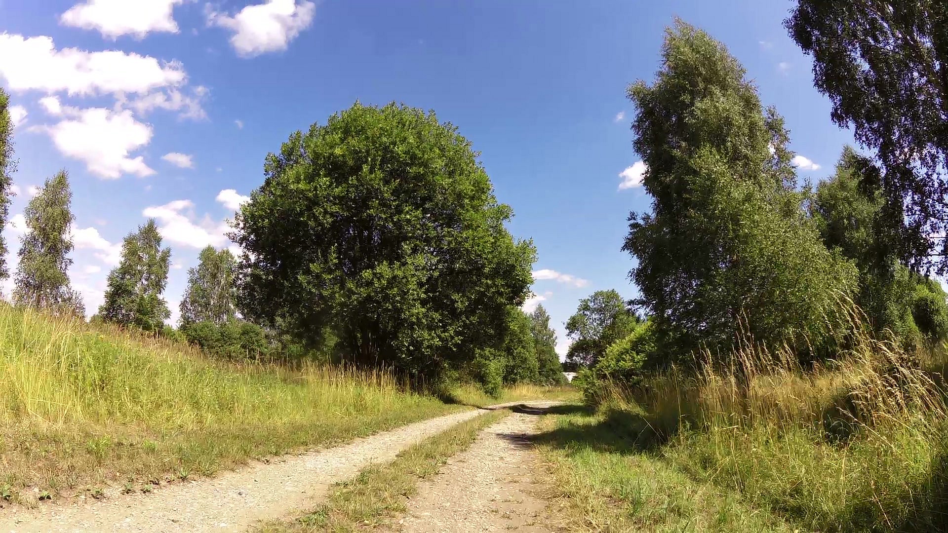
The first stop, on the village square, is about the history of the village and follows on the information in the Renaissance bell tower. The trail creates two loops, each of which can be explored individually.The first part first leads to the beechwood slope called Bukáč to the one meter tall conciliation cross. The trail leads along the edge of the municipal orchard with the occurrence of orchids to the old chapel and the valley Smraďoch with interesting mosses and ferns back to the edge of Semanín. Here is a station knajpoviště - a system of wooden containers designed for hardening. The second part of the trail takes you from knajpoviště through the beech alley around the viewpoint of Třebovská wake to the crossroads U salaše, where you can turn to portals of two tunnels - in which the shale was mined in the 19th and 20th century. At the end of the trail there is the former army training ground called Střelnice which has been declared the site of Community Importance in the Natura 2000 network. From the edge of Střelnice you can either follow the road to return to the village or head to the two kilometers distant railway station Semanín.
Semanin ČSOP nature trail is undemanding and can be completed either on foot or by bike.
For other nature trails around Semanín, see the website of the municipality Semanín:


![]() Back to the list of videoroutes
Back to the list of videoroutes


")


