like:
type:
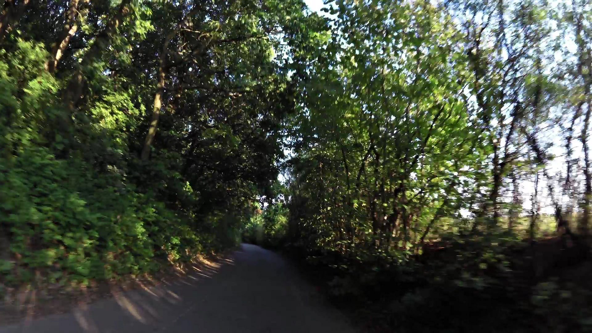
Cycling
difficulty:
Easy
length:
9.75km
total elevation:
218.90m
total descent:
174.10m
navigation:

| 0.00km from start |
9.75km to finish |
m elevation |
0m total elevation |
0m total descent |
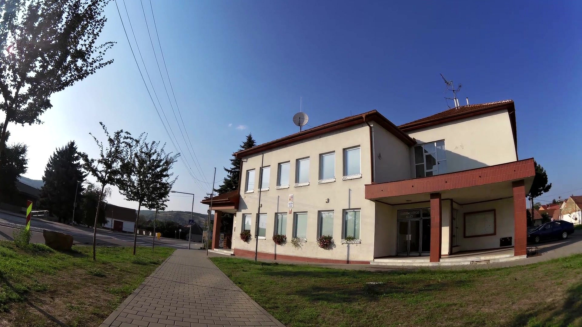
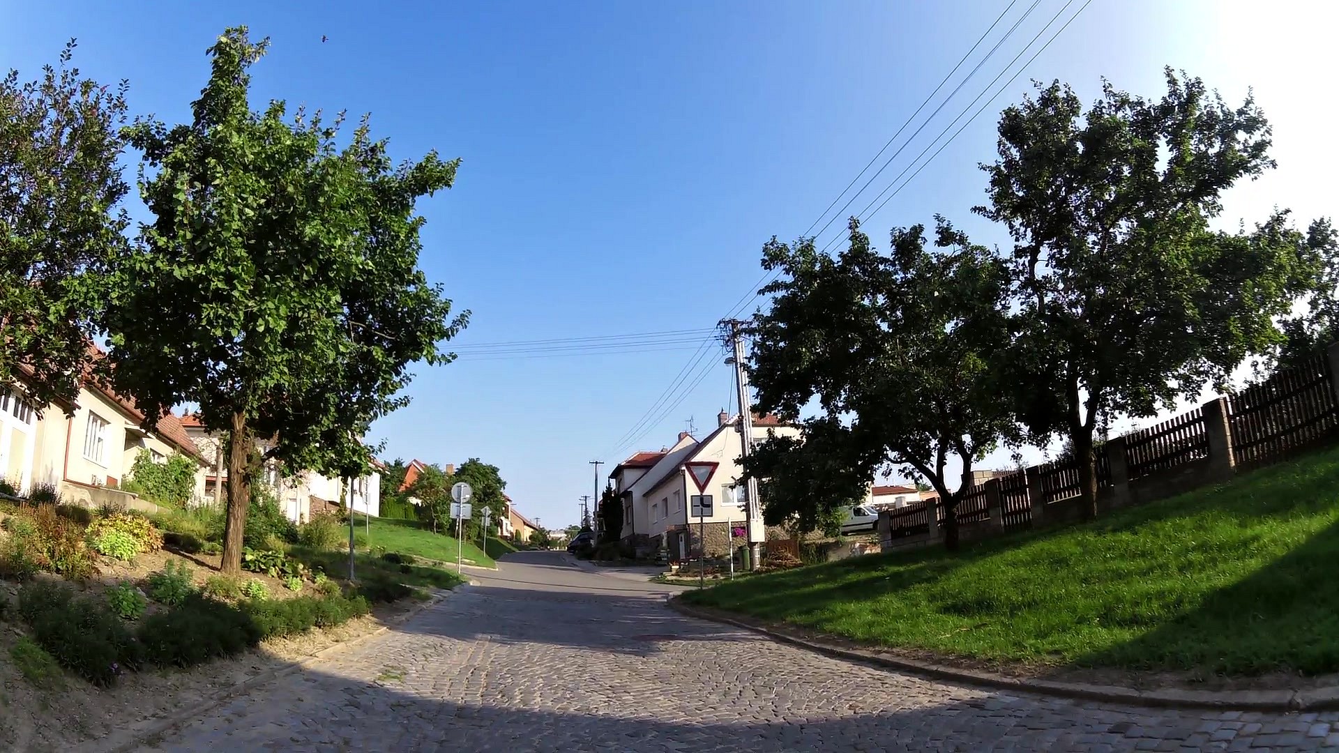
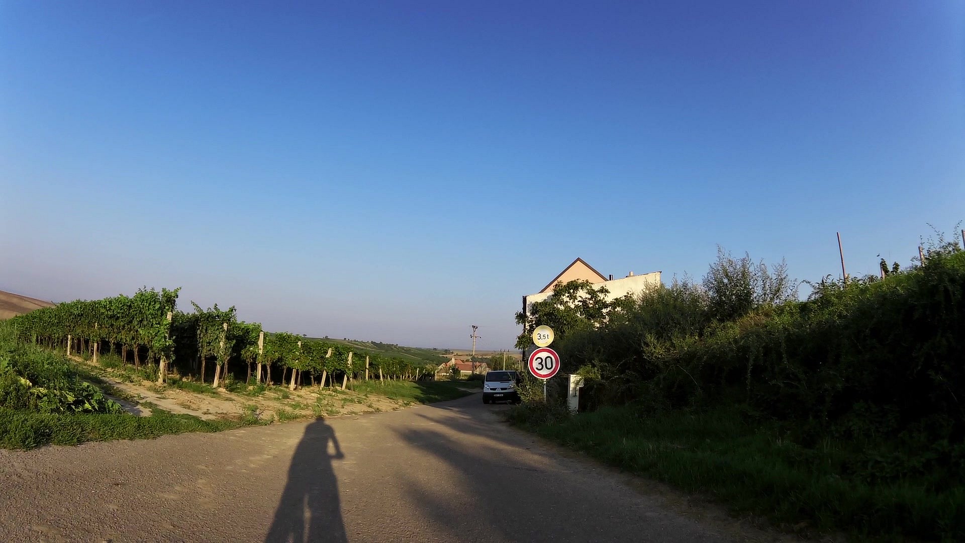
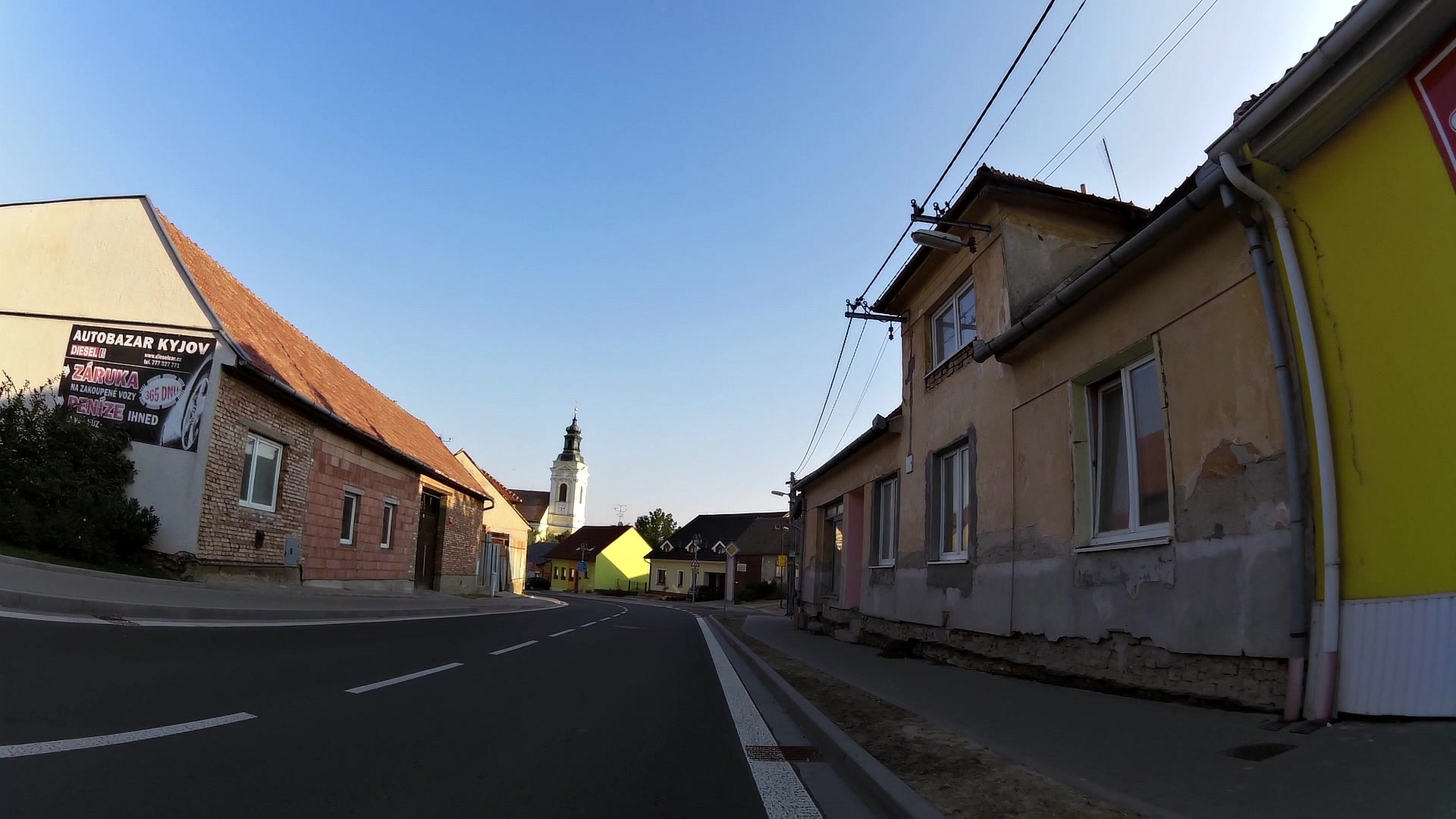
| Municipal office Kobylí | map | video | |
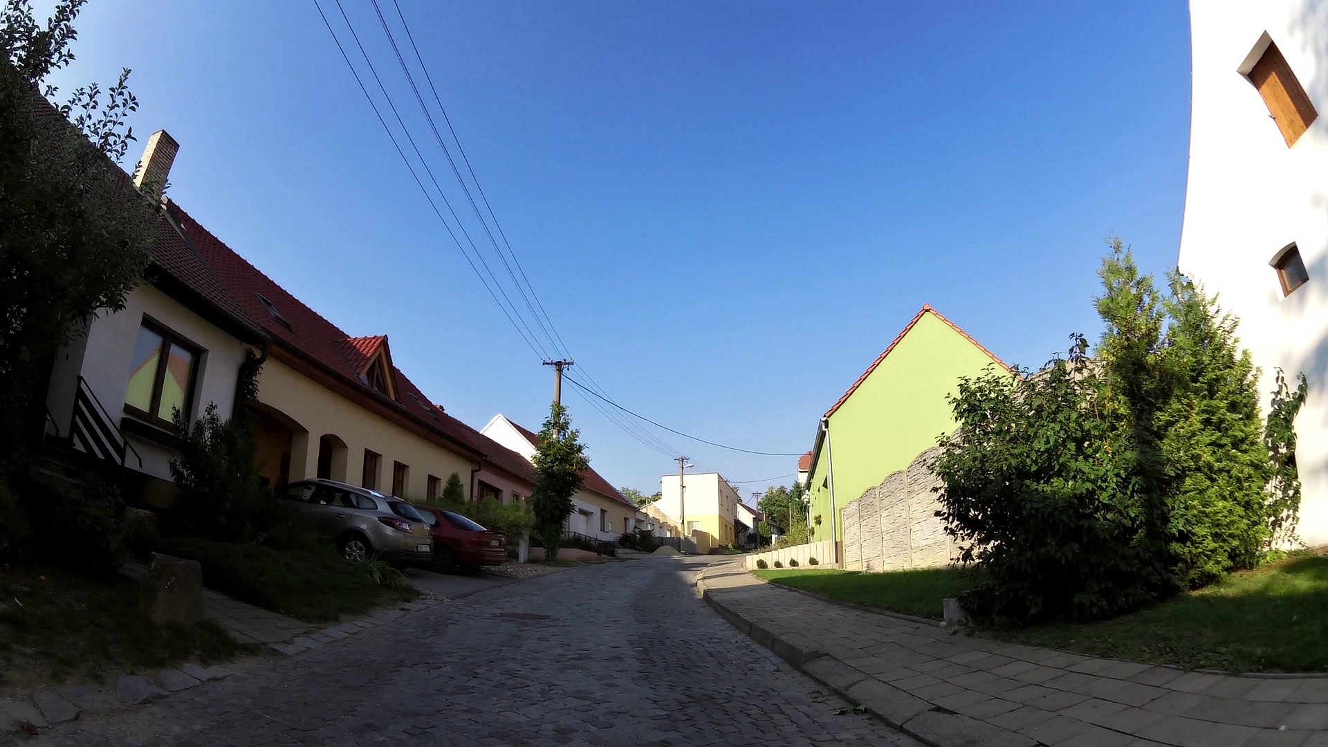
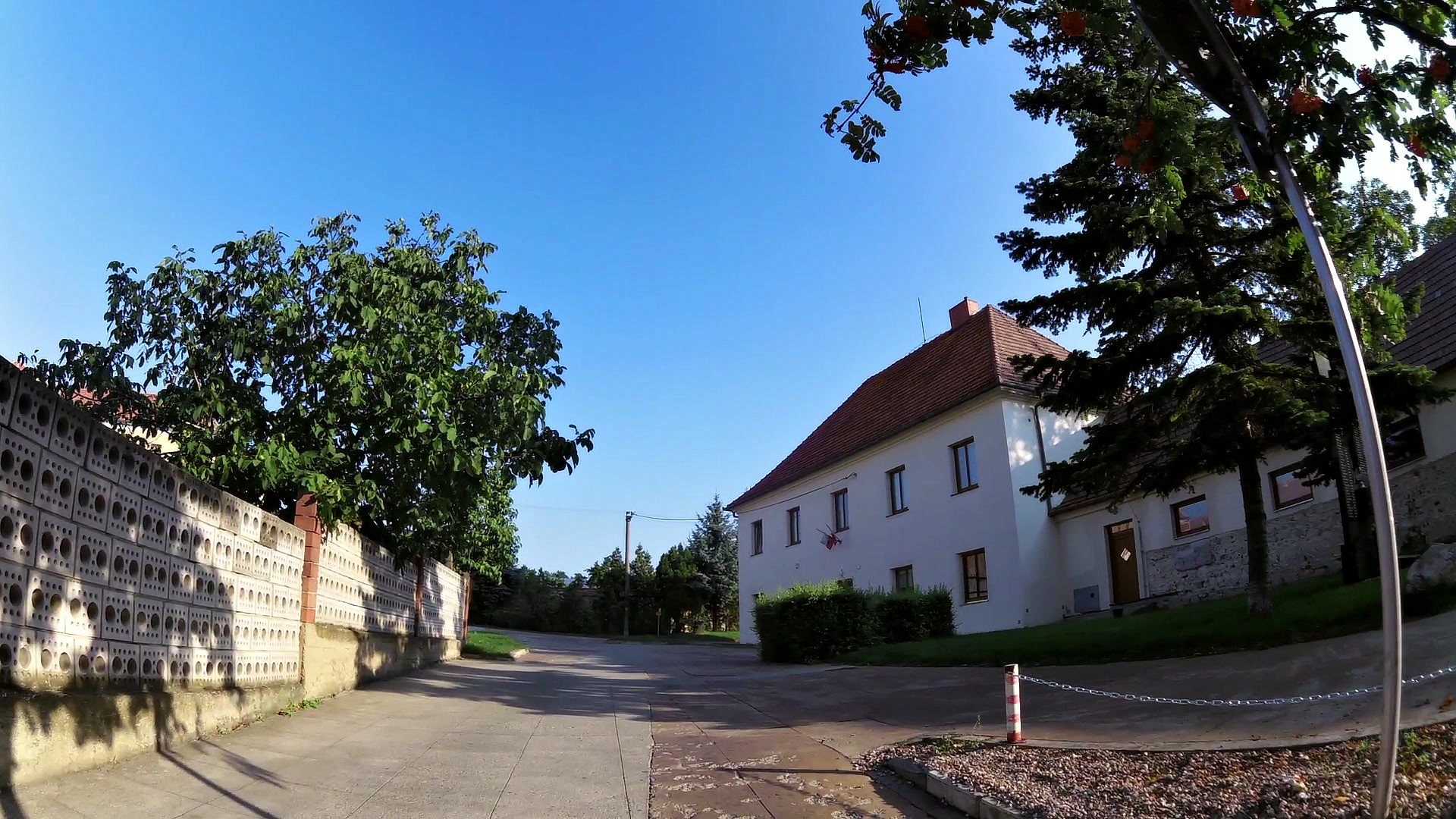
| Suchořádská zmola (cellar small street) | map | video | |
| Museum Kobylí | map | video | |
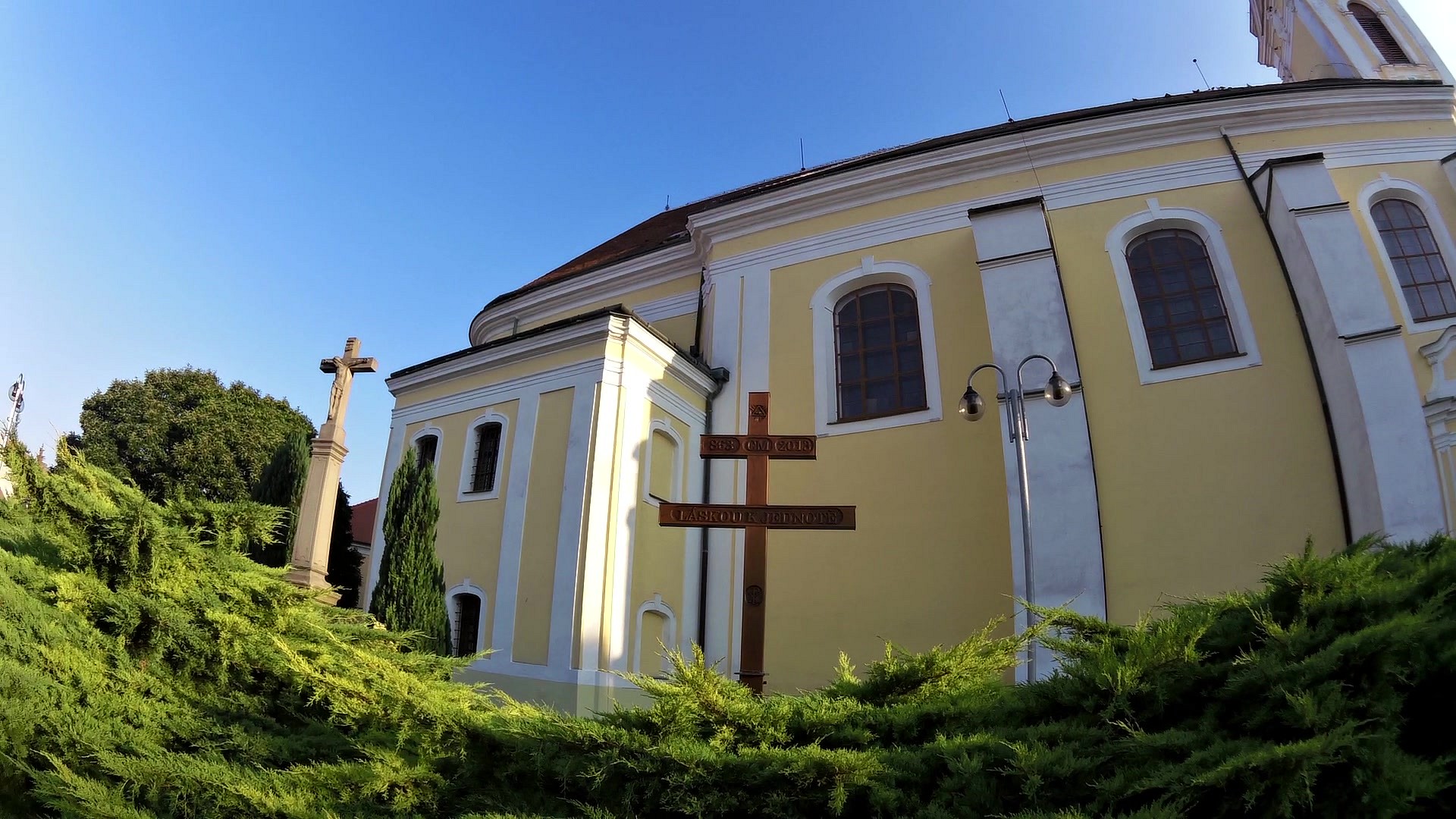
| Saint George Church | map | video | |
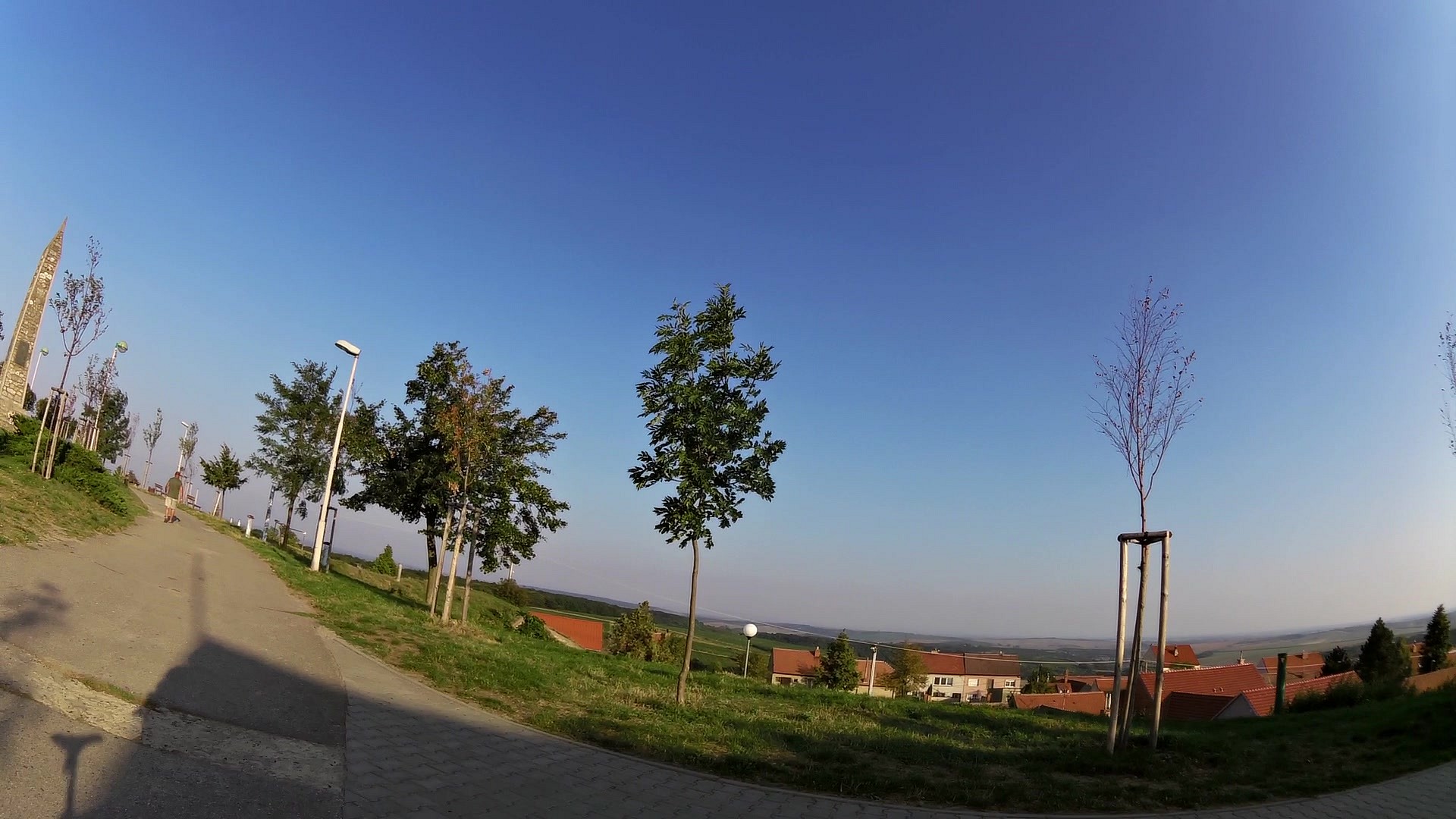
| Peace Memorial and a cannon | map | video | |
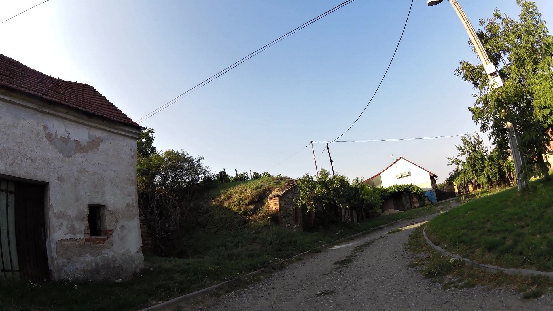
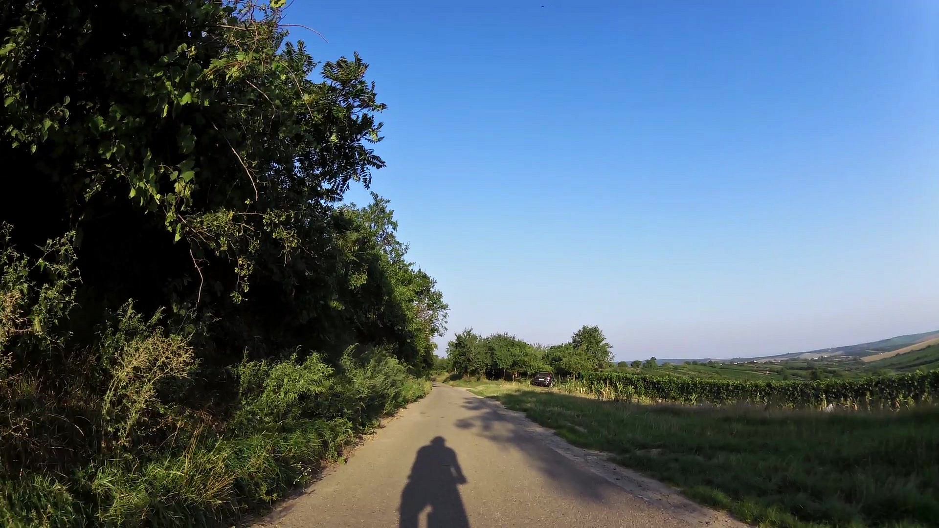
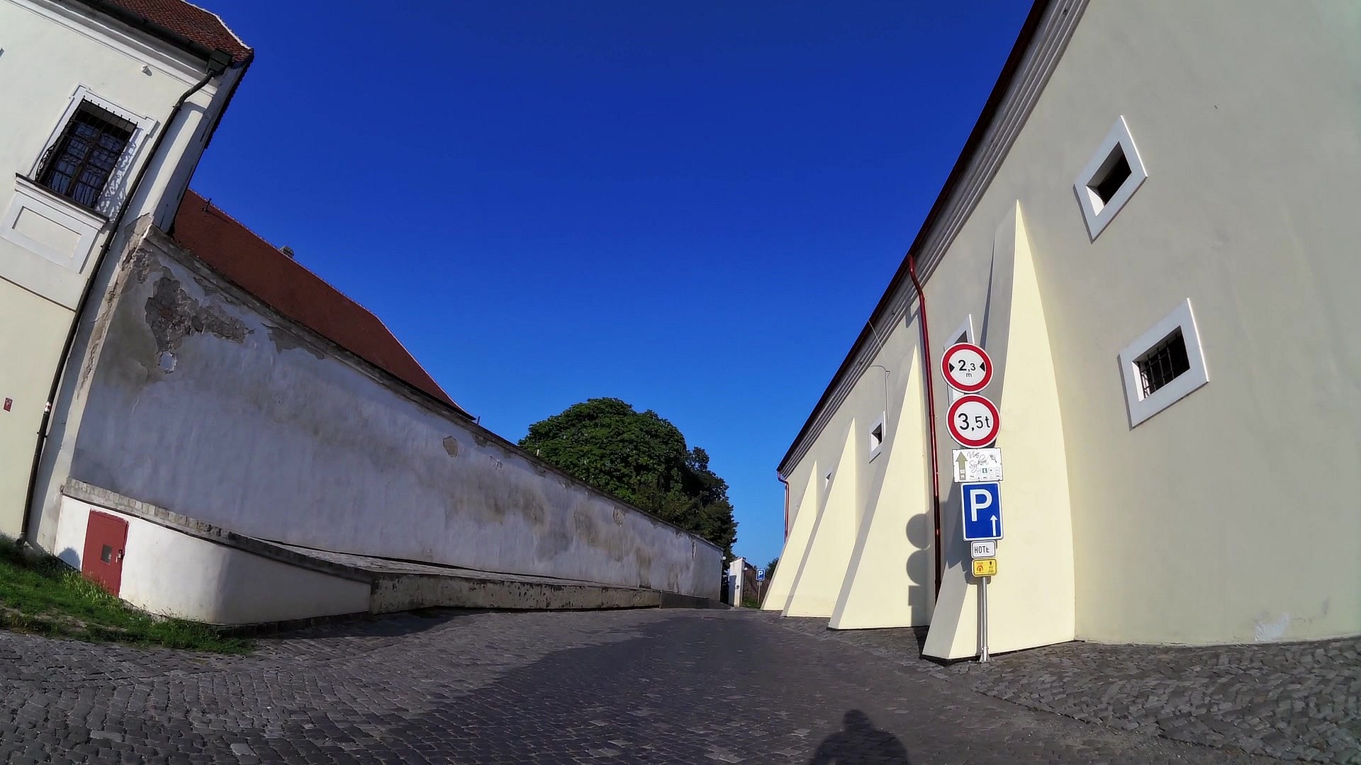
| Unique cellars of Vrbice | map | video | |
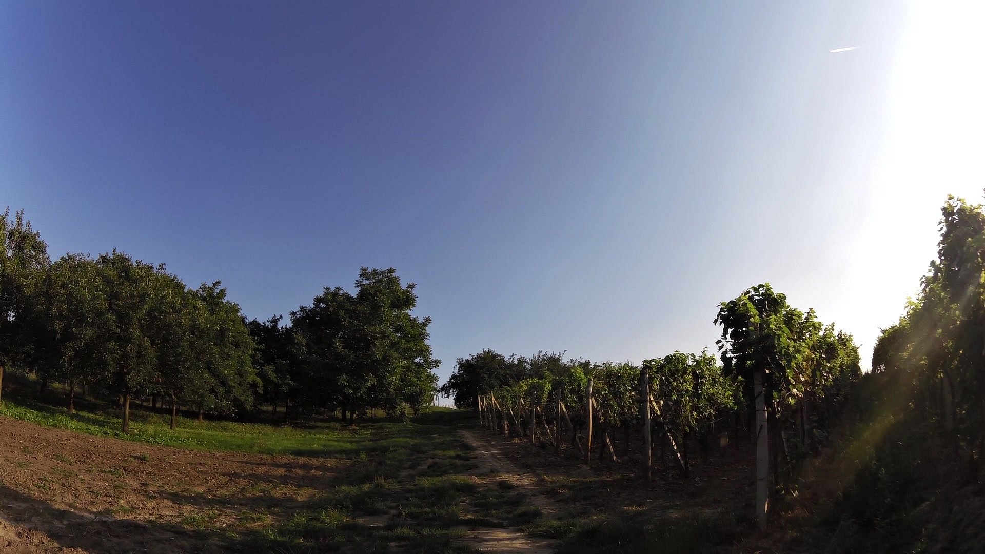
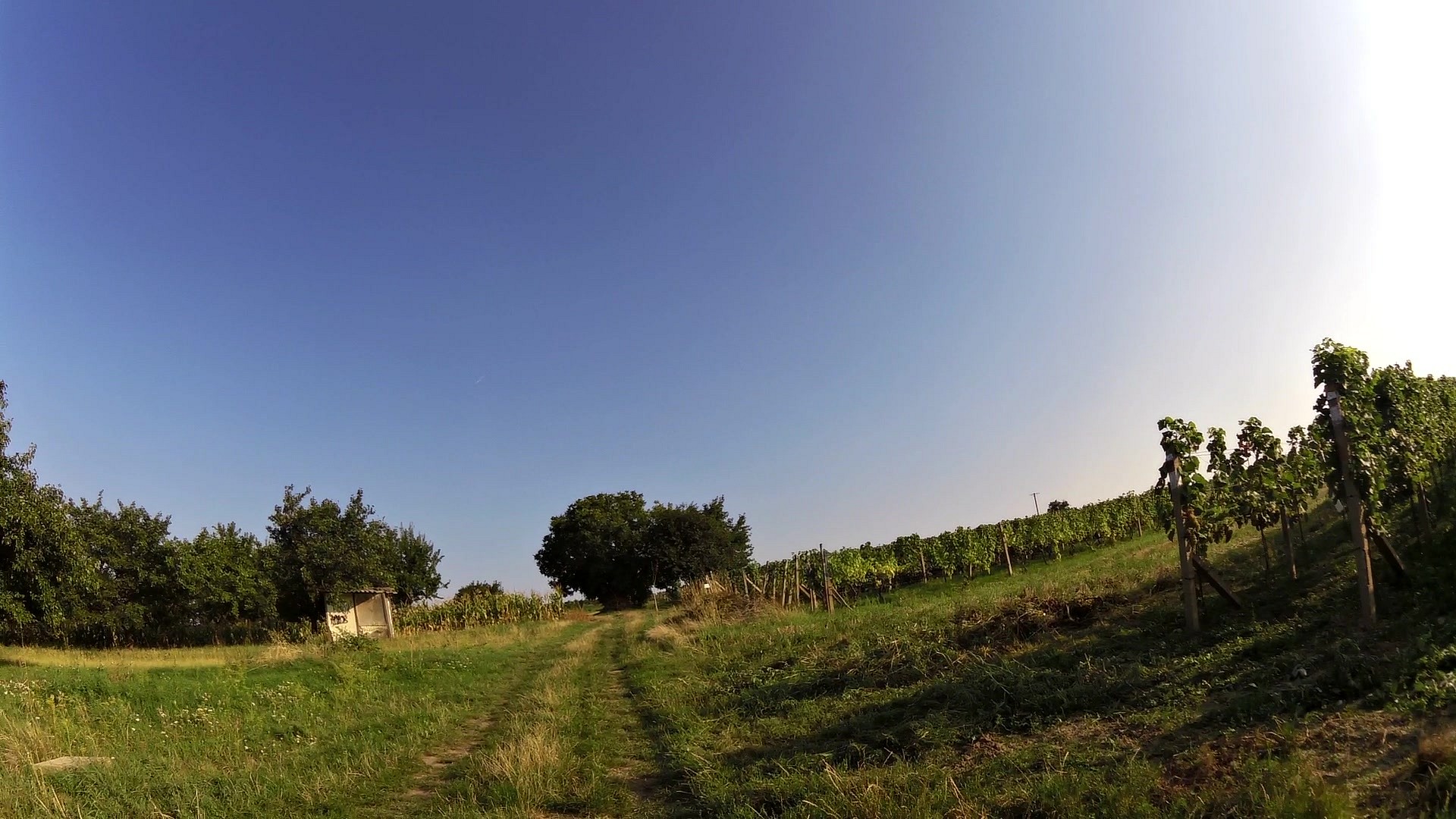
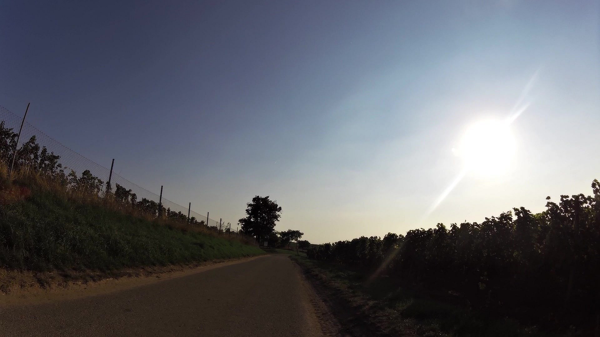
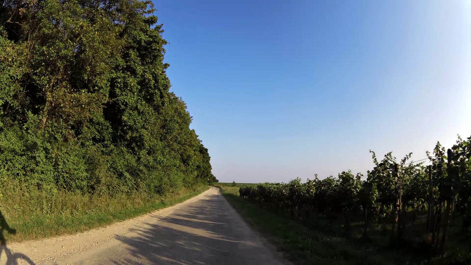
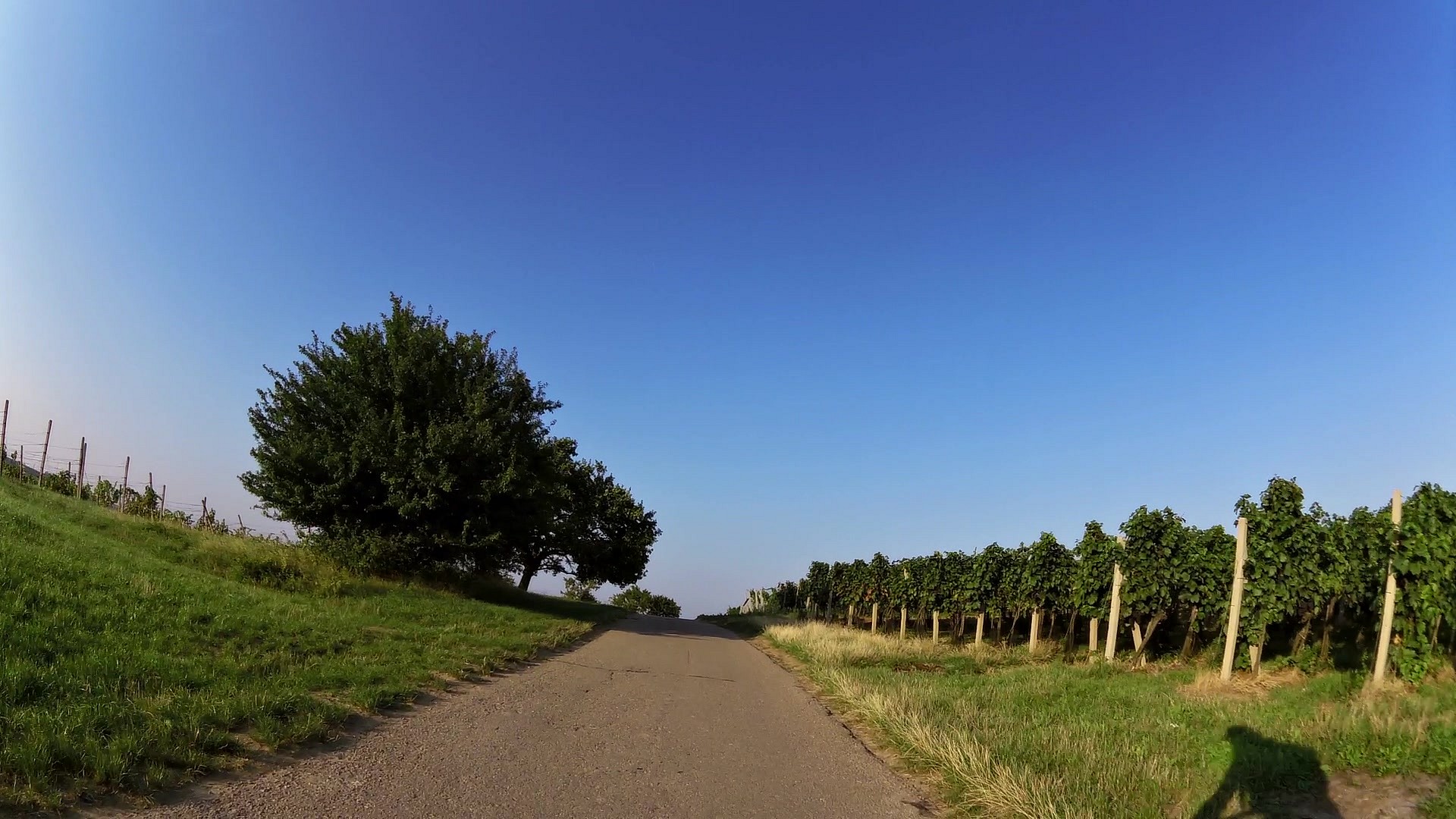
| Views of the vineyards | map | video | |
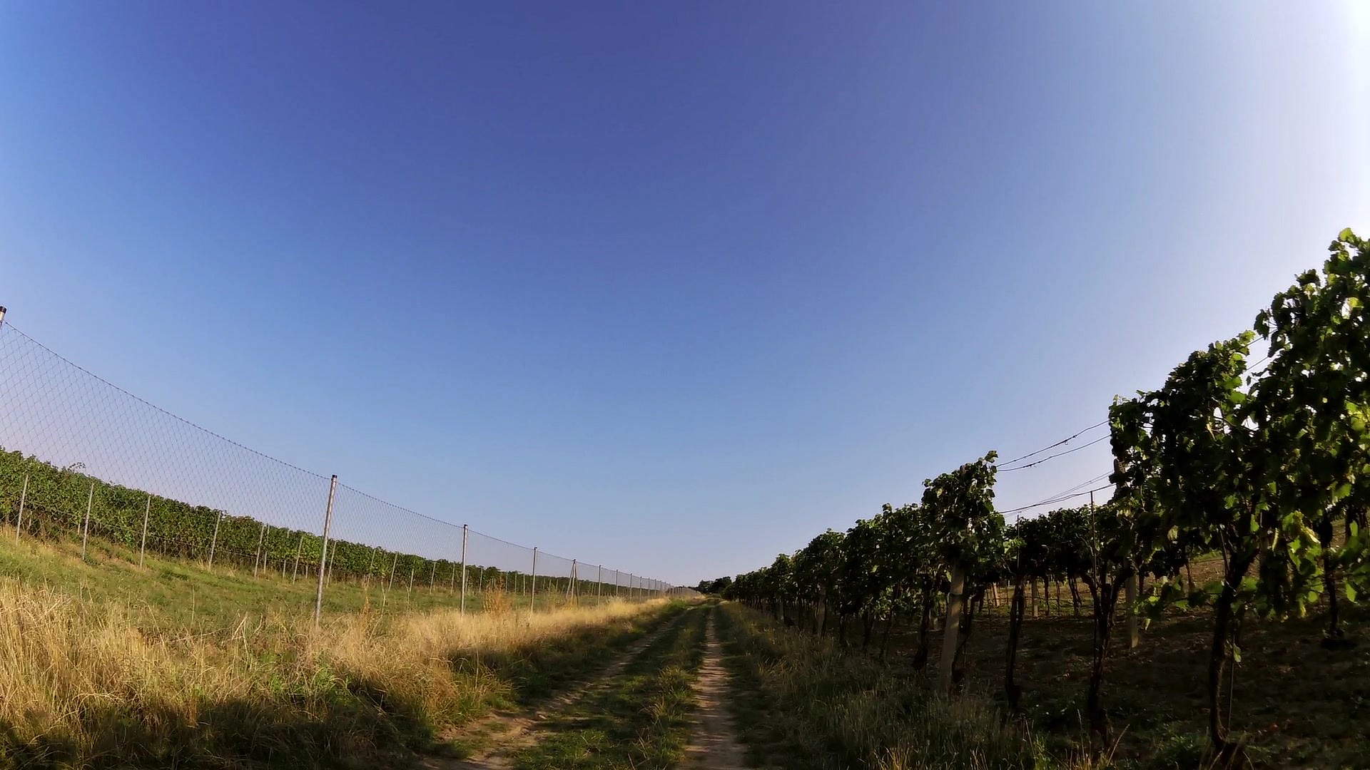
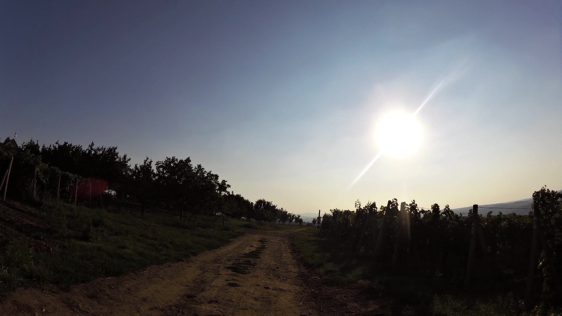
| Views of the vineyards | map | video | |
| Saint Kunhuta church | map | video | |
| Templar cellars | map | video | |
| Chateu Čejkovice | map | video | |
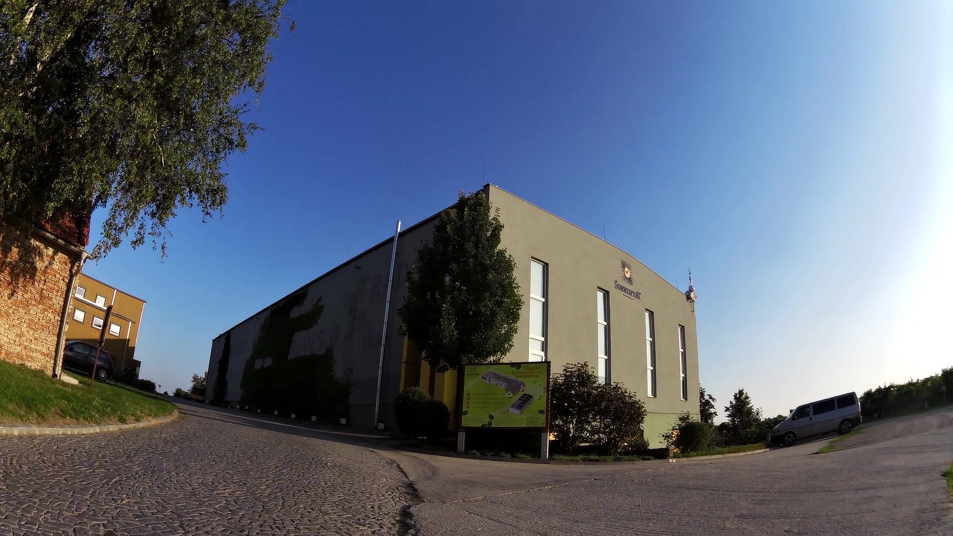
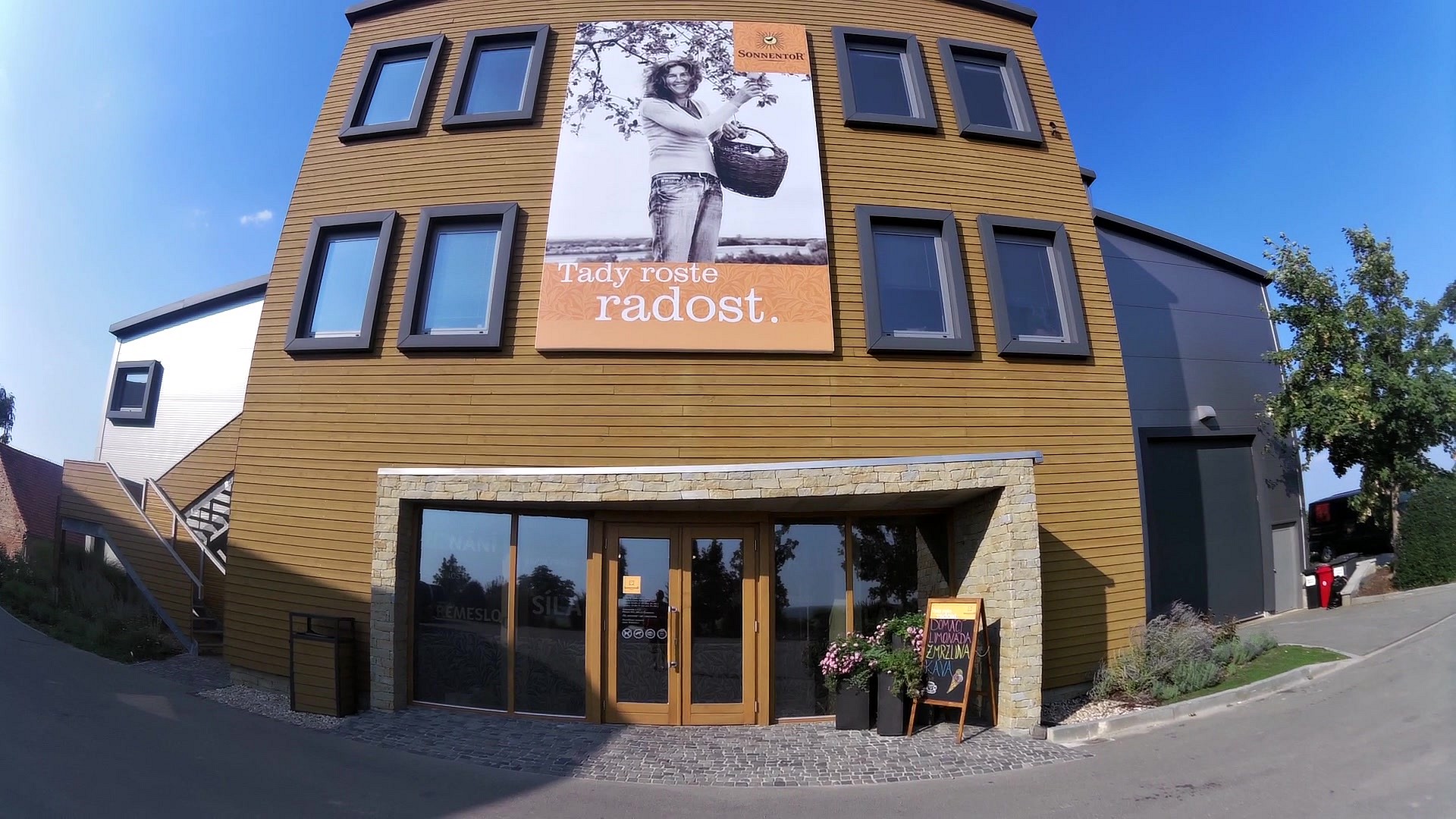
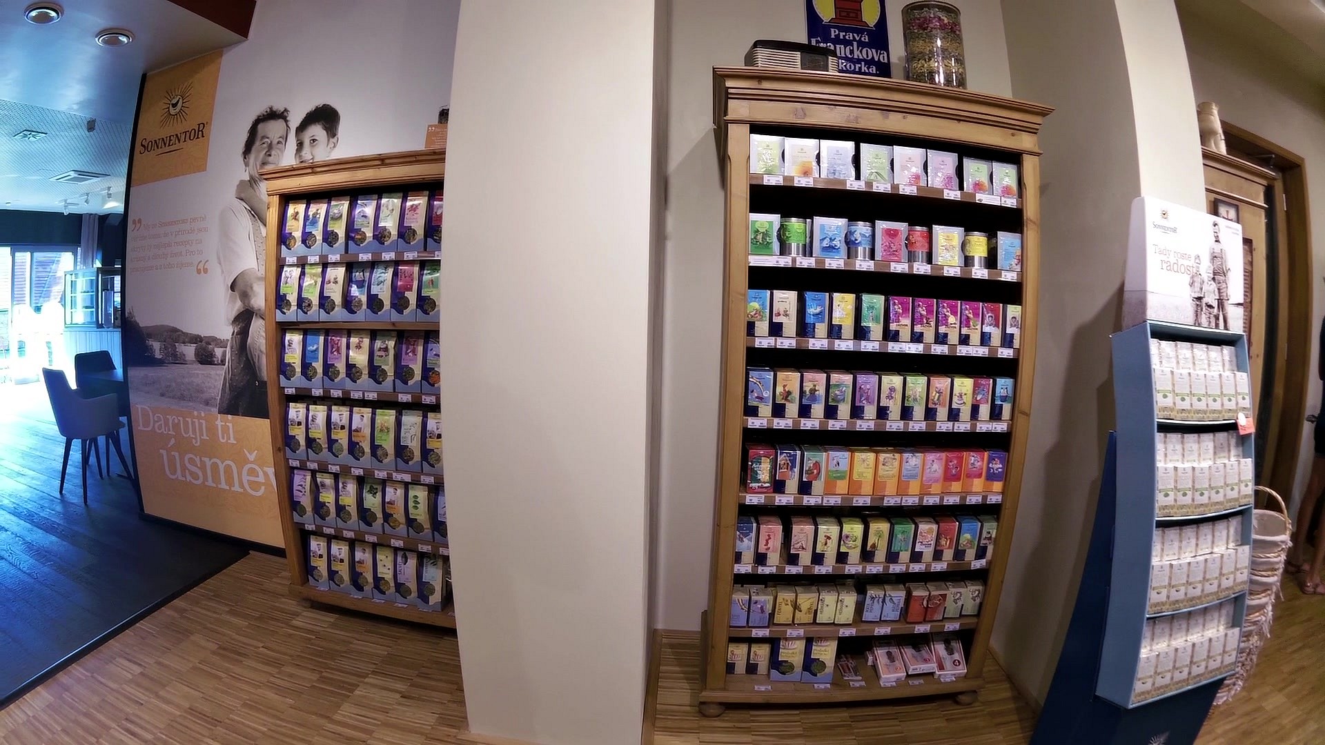
| SONNENTOR Čejkovice (herbal paradise) | map | video | |
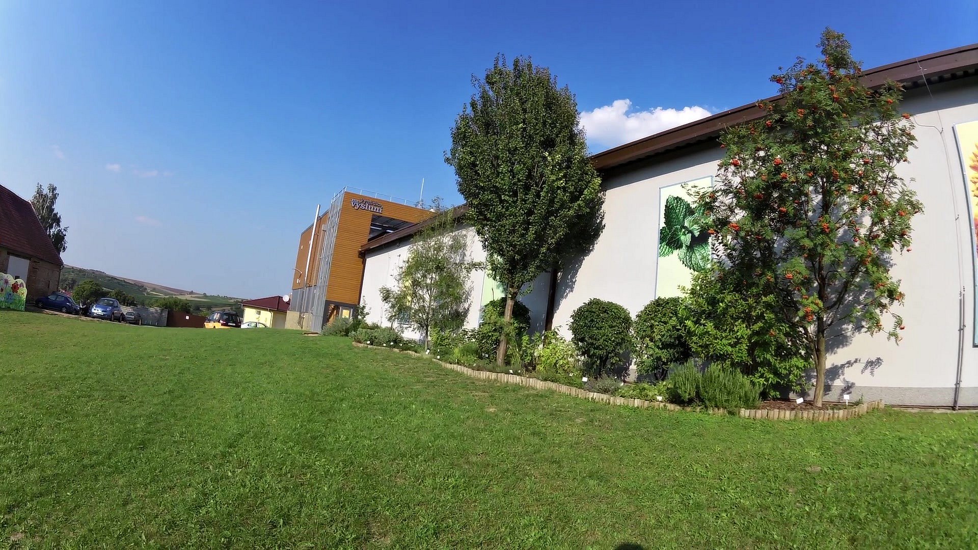
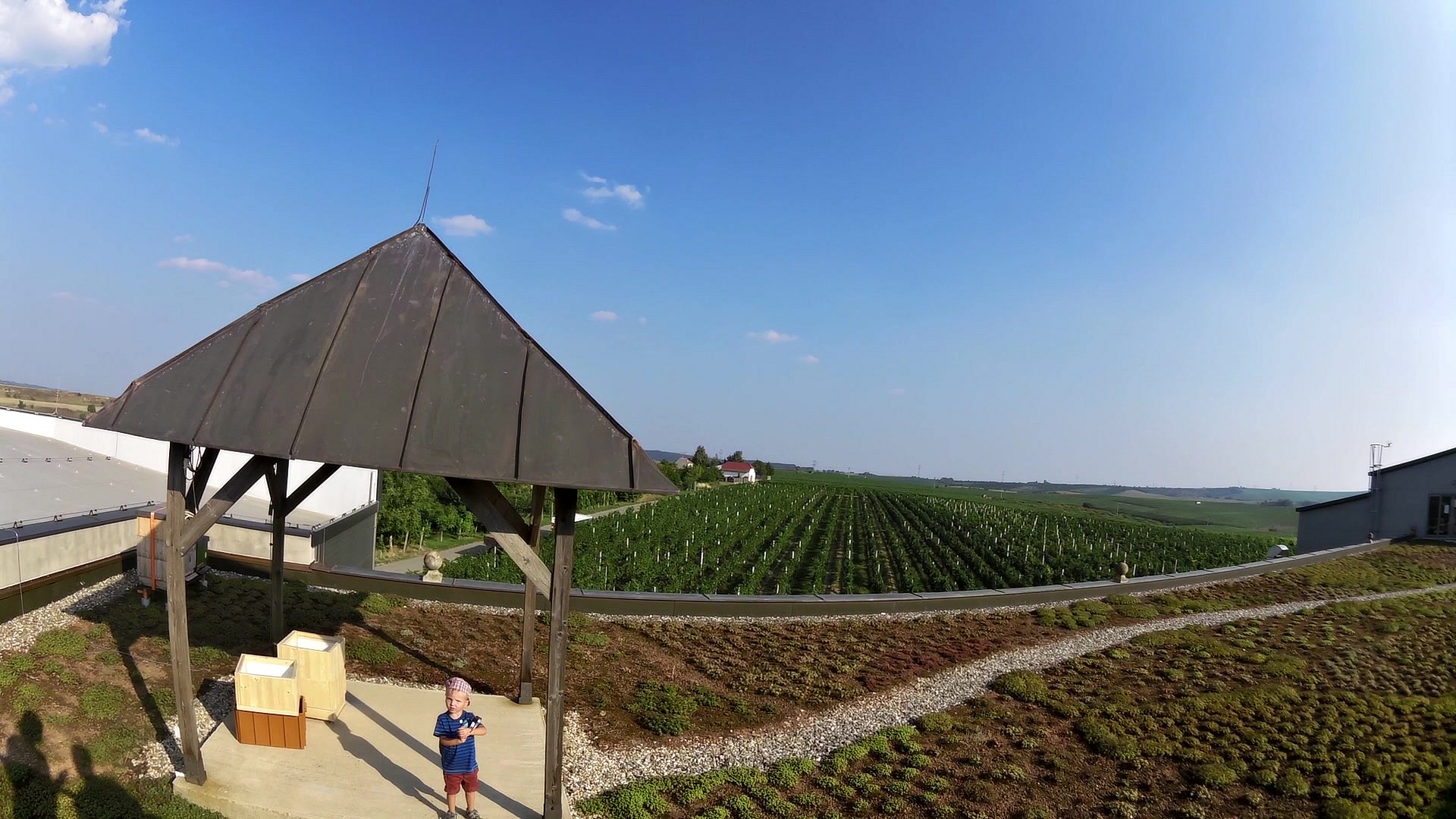
| View Na Výsluní | map | video |


![]() Back to the list of videoroutes
Back to the list of videoroutes


")


