From Nova Bystřice through Austria and extinct villages

Profile
| 0.00km from start |
30.59km to finish |
m elevation |
0m total elevation |
0m total descent |
Point of interest (POI)
| Nová Bystřice | map | video | |
| Artoleč | map | video | |
| Kotlacke | map | video | |
| Hirschenschlag | map | video | |
| Reingers | map | video | |
| Romava - an extinct village | map | video | |
| The pond Kačer | map | video | |
| Hadí vrch (a nature reserve) | map | video | |
| Rajchéřov - an extinct village | map | video | |
| Návary | map | video | |
| The pond Gebhárecký (a nature reserve) | map | video | |
| The Church of the Holy Trinity in Klášter | map | video | |
| Albeř railway station | map | video | |
| Albeř - the village square | map | video | |
| Nová Bystřice | map | video |
From Nova Bystřice through Austria and extinct villages
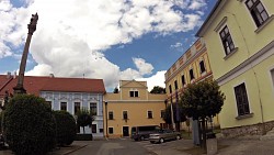
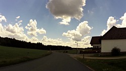
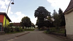
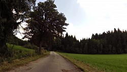
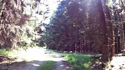
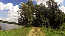
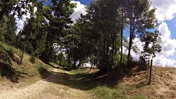
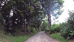
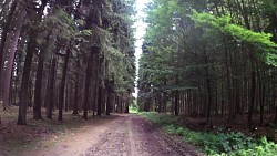
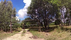
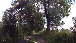
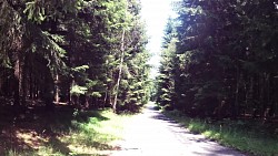
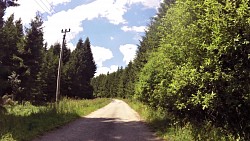
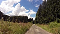
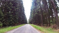
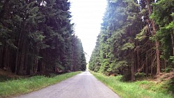
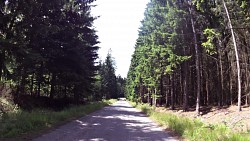
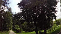
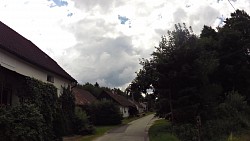
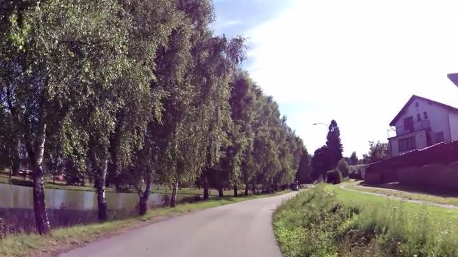
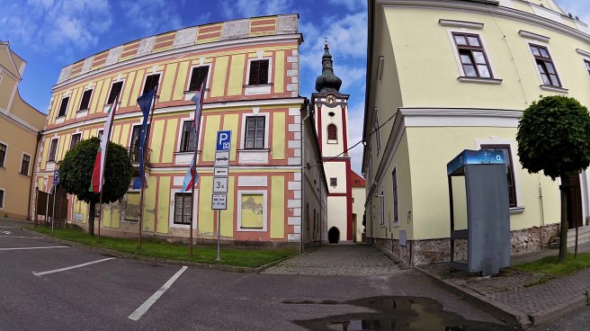
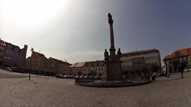
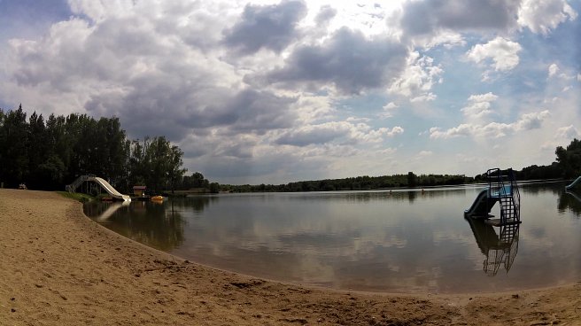
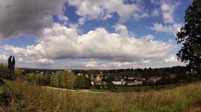
From the town square in Nova Bystrice you set out towards Artoleč and around the lookout tower Kotlacke to the Austrian Hirschenschlagu and hemp village Reingers. From Austria you return back to the Czech territory and arrive at the extinct village Romava. The trail continues to the pond Kačer and around Hadí vrch Nature Reserve, which is worth a closer look. Another extinct village on the route is Rajchéřov and then the route takes you to Návary. The Trail of the 20th century passes through the municipality Návary. Then, trough the nature reserve Gebhárecký pond, you get to the village Klášter.
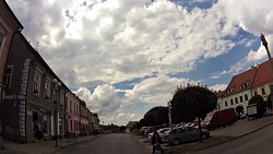
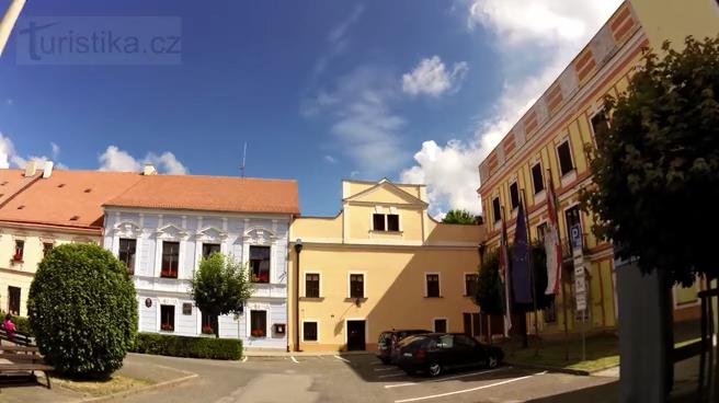
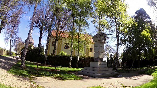
In Klášter you can relax in the shade of a memorable, four hundred years old lime tree and see the Early Baroque pilgrimage church of the Holy Trinity. The trail leads you from Klášter to Albeř, where you cross the path of the local narrow-gauge railway, leading from Jindřichův Hradec to Nova Bystřice. At the Albeř village square the information board of the Textile Trail is also worth stopping by.
... and then just return to Nova Bystřice.
Nature trails around Nova Bystřice:
|
Trail of the 20th Century |
Trail of Confession |
Textile Trail |
Share to friends
Rating
Photos from track
![]() Back to the list of videoroutes
Back to the list of videoroutes


