like:
type:
Cycling
difficulty:
Intermediate
length:
198.72km
total elevation:
4,217.00m
total descent:
3,540.50m
navigation:

| 0.00km from start |
198.72km to finish |
m elevation |
0m total elevation |
0m total descent |
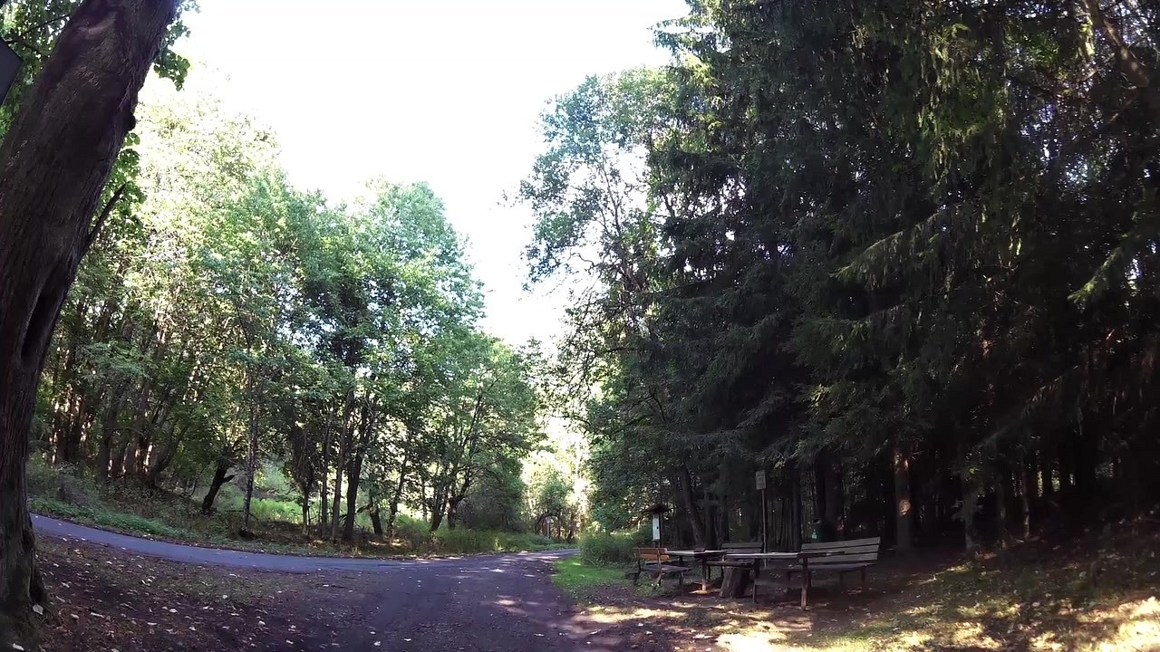
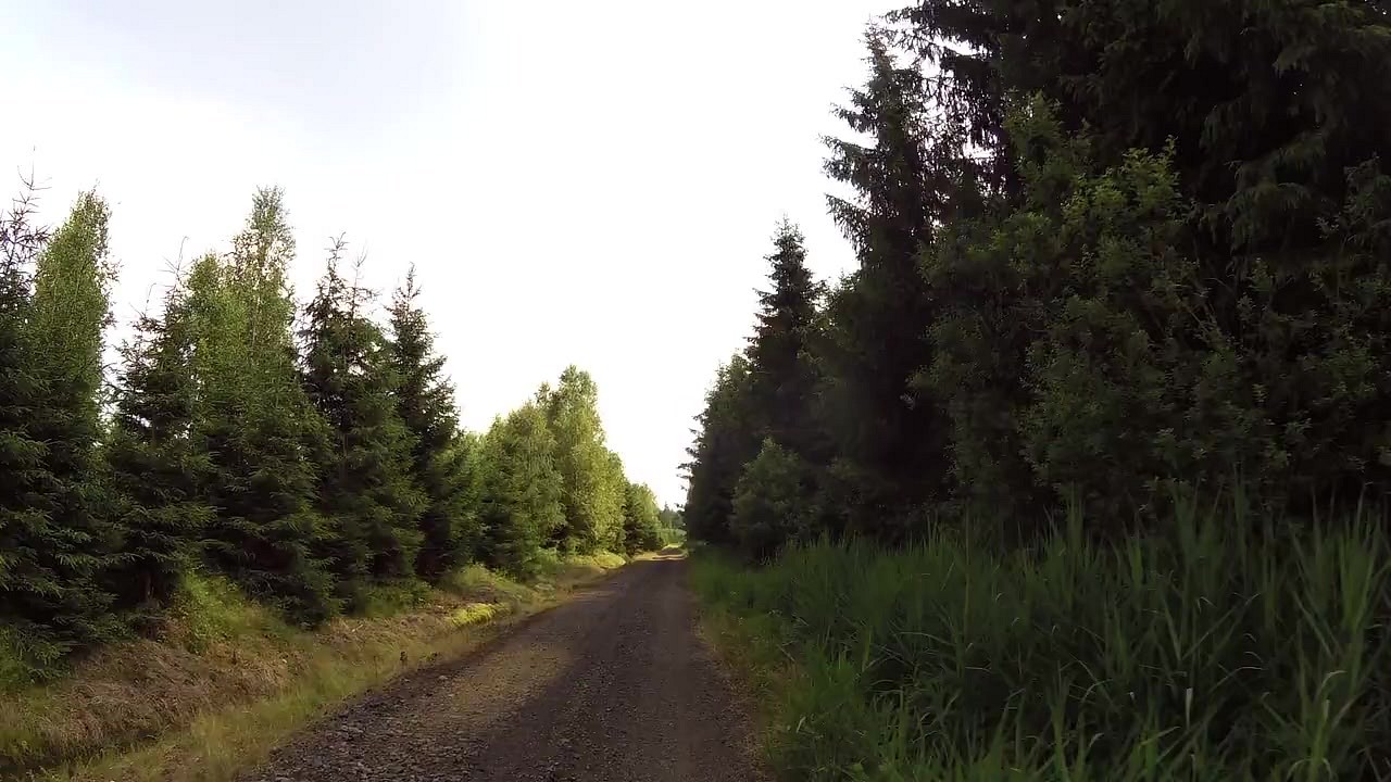
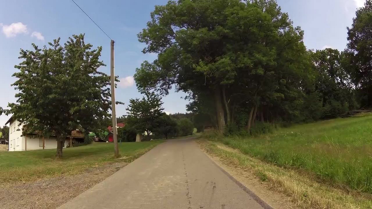
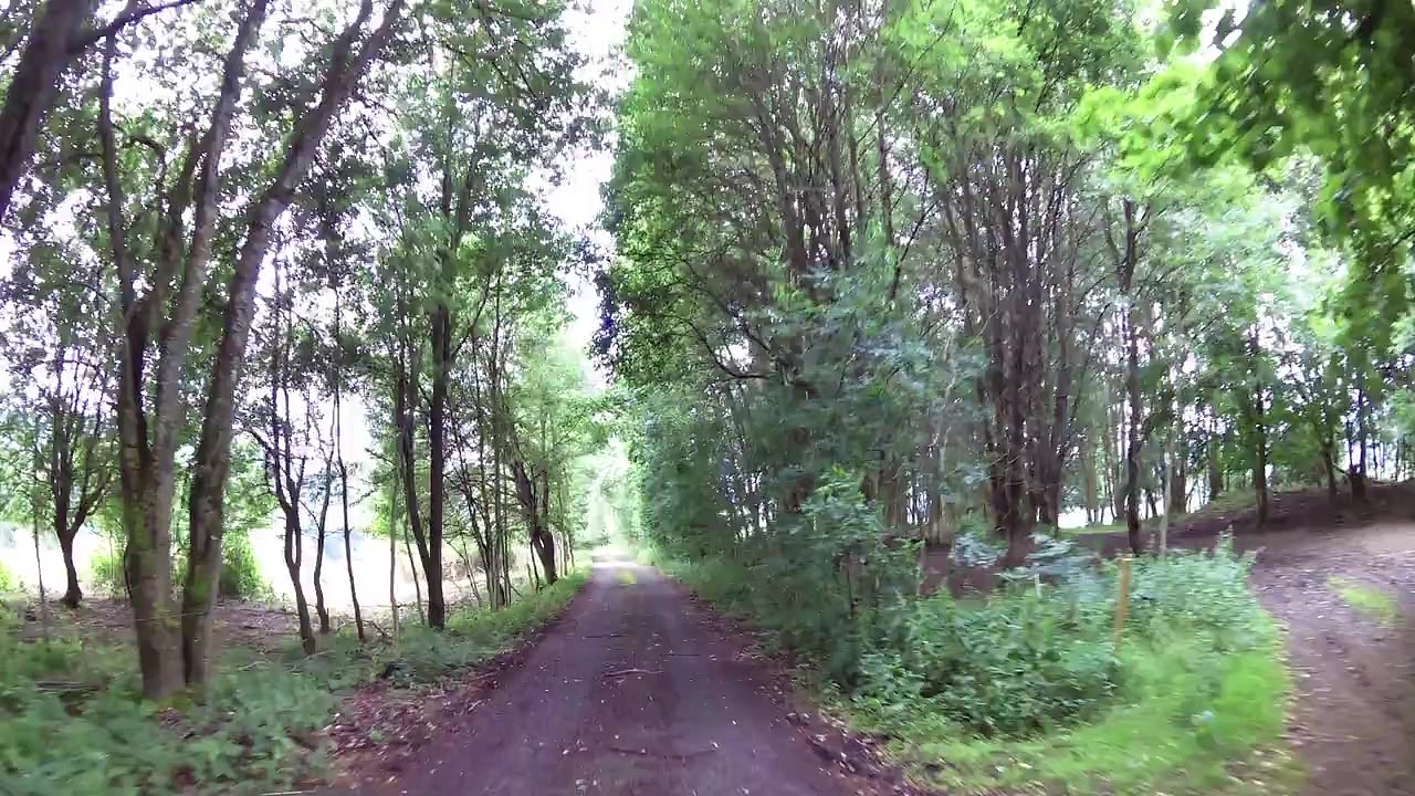
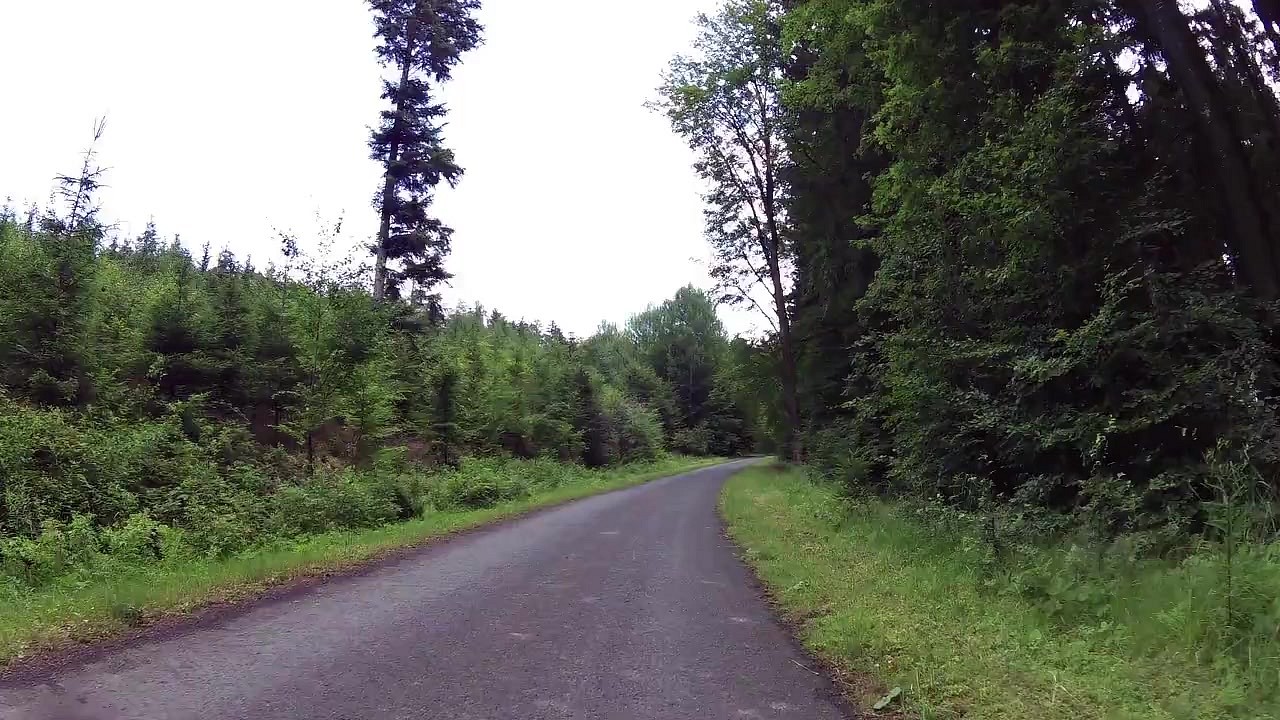
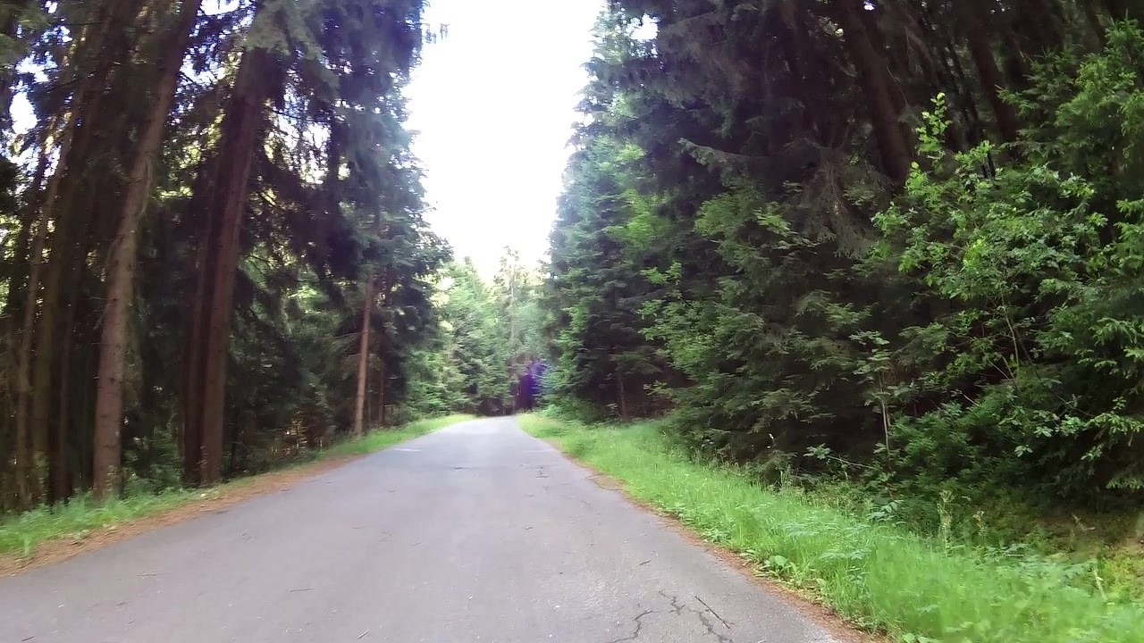
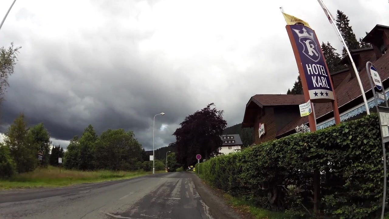
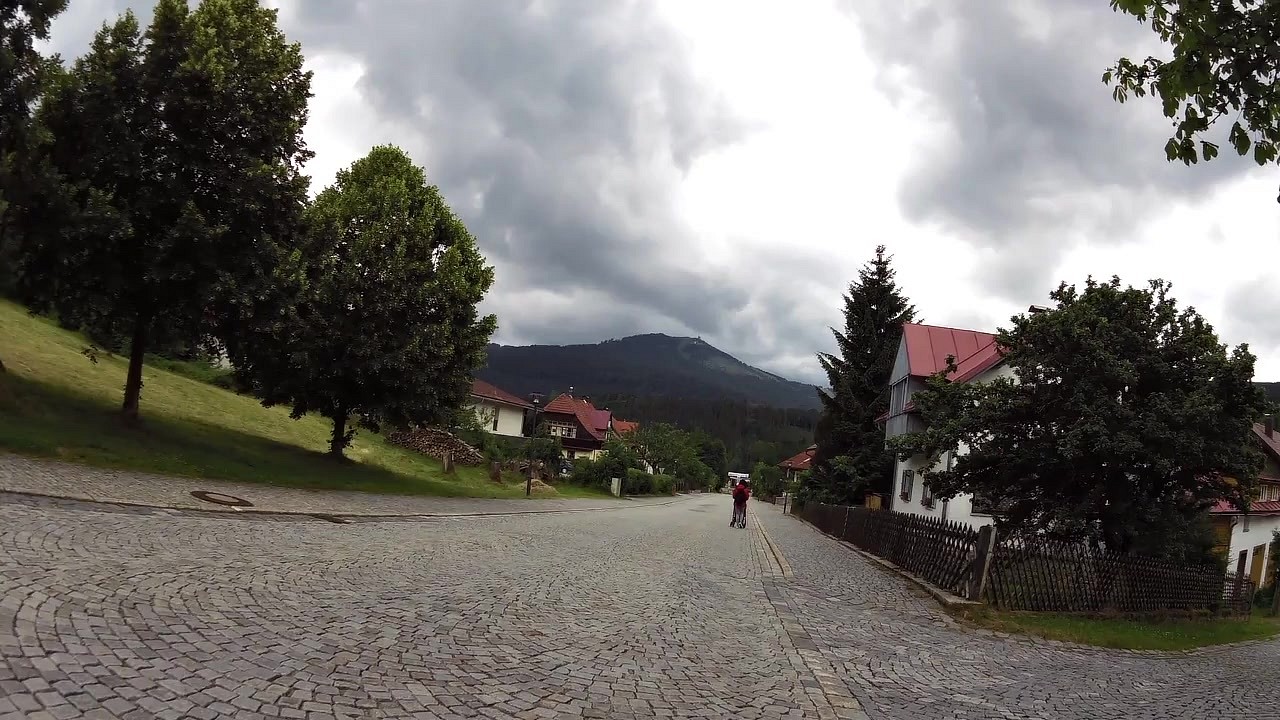
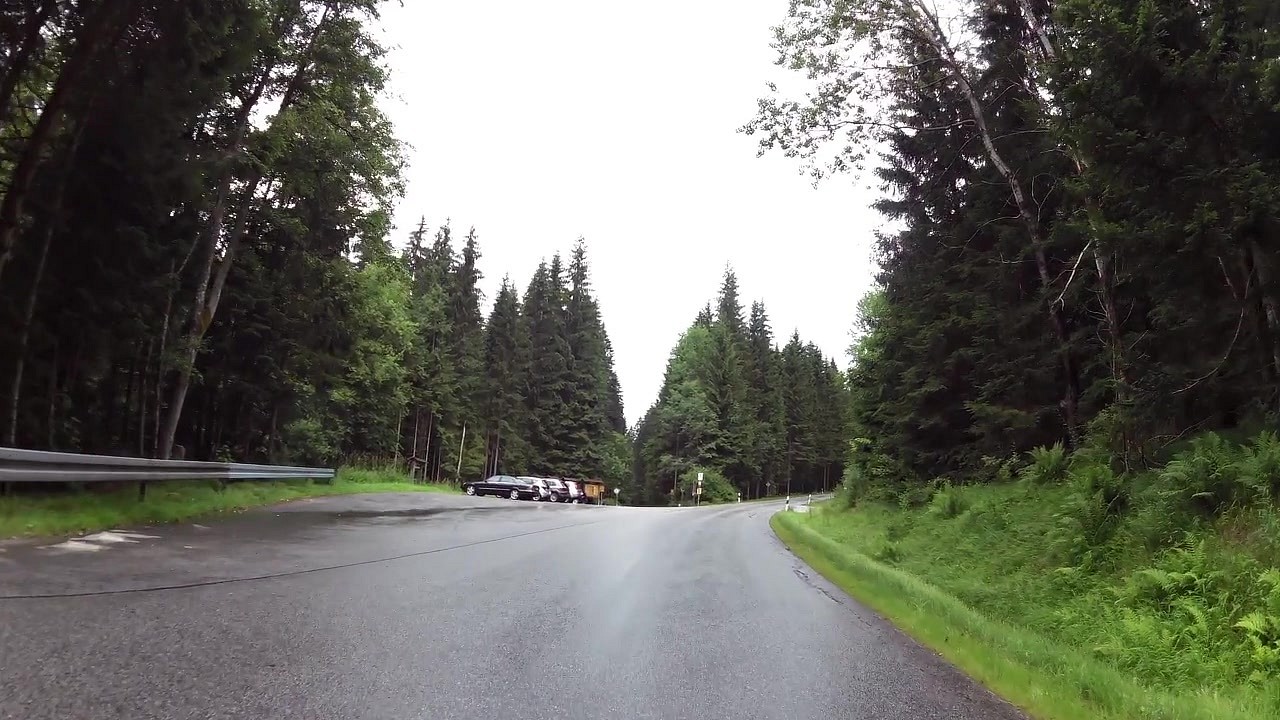
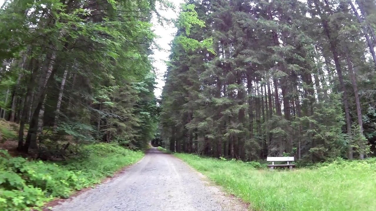
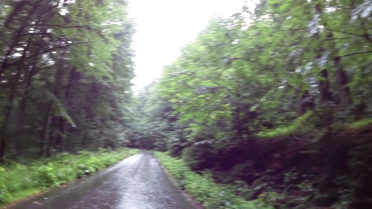
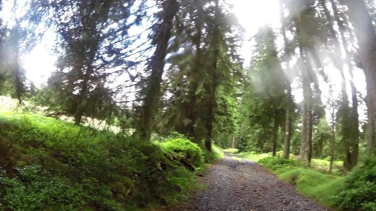
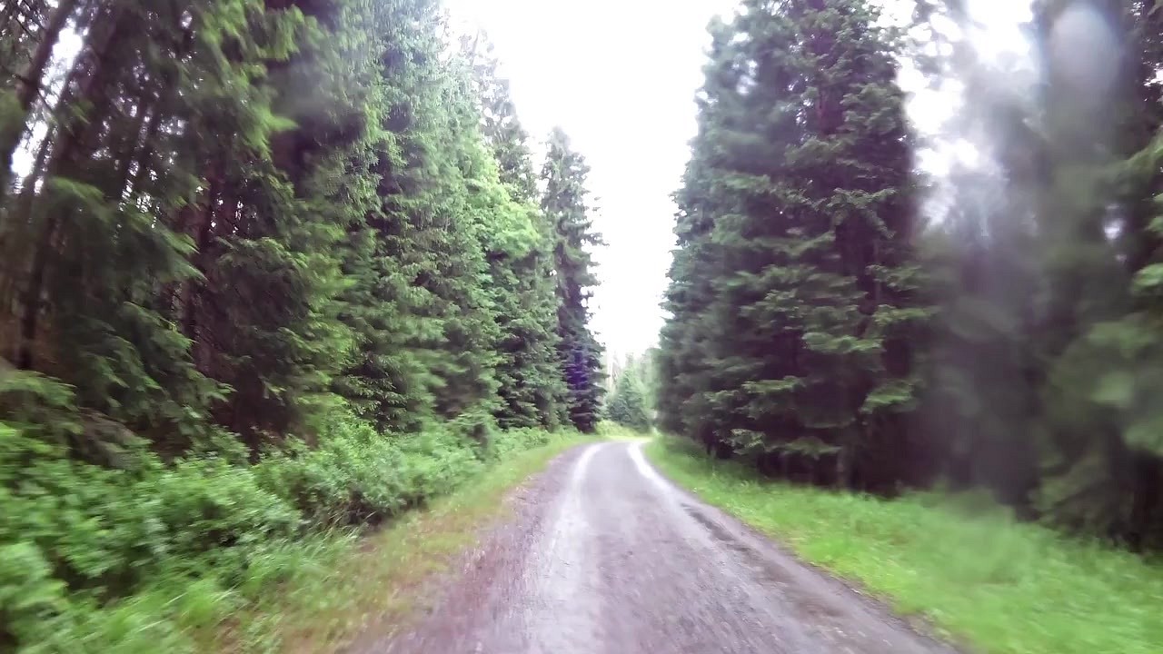
The EuroVelo 13 route in the Pilsen Region starts near the border with Germany, specifically near the town of Reichenau (on the site of the former village of Hraničky). On the hill of this former settlement there is now a reconstructed monument to the victims of World War I. The asphalt road leads to the small village of Nové Domky. We continue towards the famous border town of Rozvadov, where we visit the Iron Curtain Museum. Shortly after Rozvadov, we turn into the forest, where we follow the asphalt road for a short distance and then the forest road. After a few kilometres we reach the village of Železná, which is right on the border. We can stop at the Park of Reconciliation, where there is also a game preserve called Srdíčko with several rare plants and animals. Then we cross the border into Germany. A pleasant gravel road through the town of Friedrichschäng will take us back to the Czech Republic. At the Nature Square we drive towards the remains of the displaced village of Pleš. On a pleasant road you will reach the village of Rybník, where you will find a tourist centre in the middle of untouched nature. A beautiful stretch of forest follows to the former settlement of Lučina, where the base of the statue of St. John of Nepomuk and the ruins of the church have been preserved.
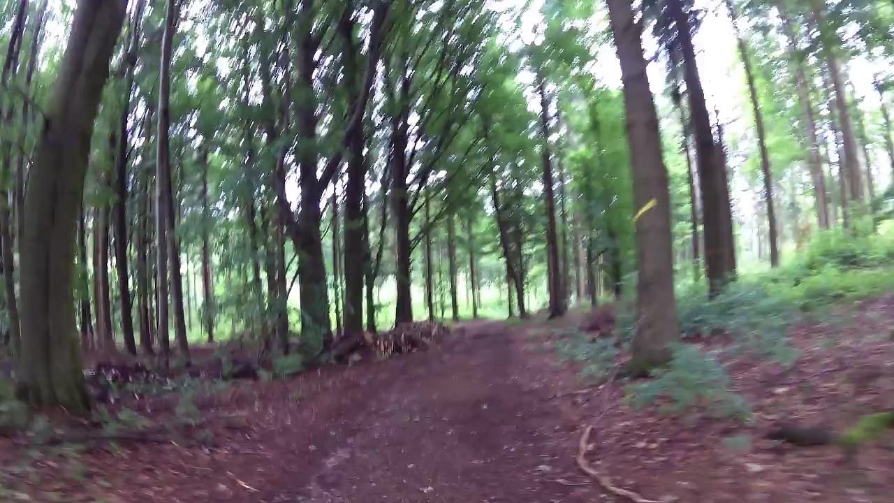
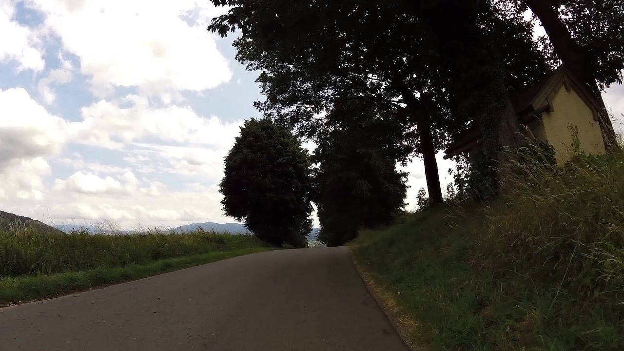
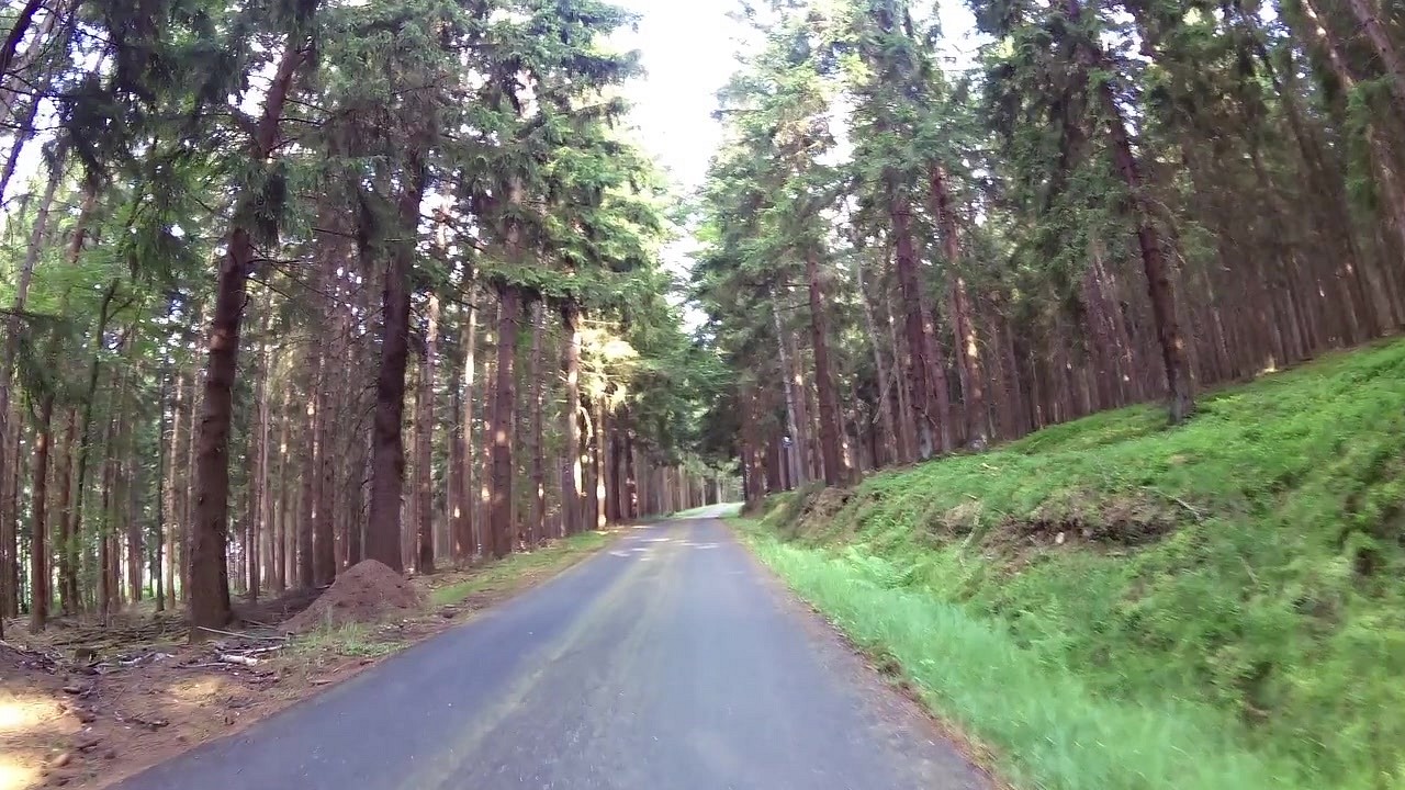
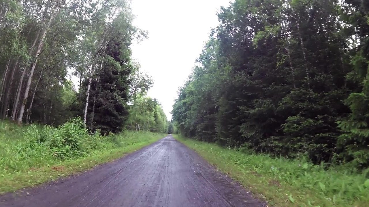
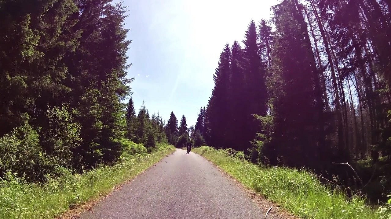
Then we head back to the border with Germany, where we pass through the villages of Untergrafenried and Hammer. We will alternate between forest and meadows. We pass through the town of Waldmünchen and head back to the Czech border. We drive a short distance from the highest mountain of the Bohemian Forest, where the 24 m high stone Kurz tower with a retro buffet is located on the top. Right next to it is a 30 m military tower. And back to Germany again, where we'll drive a fairly long stretch through several villages, hills and hillocks, and take some nice downhills.
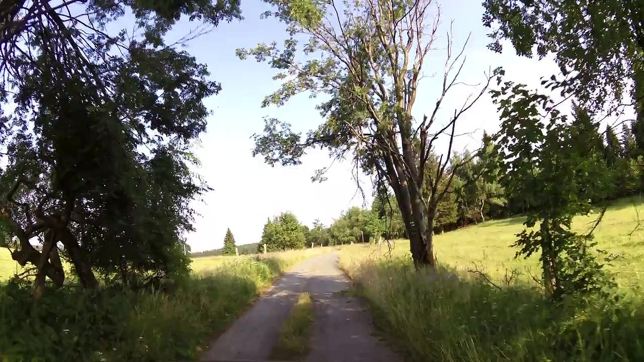
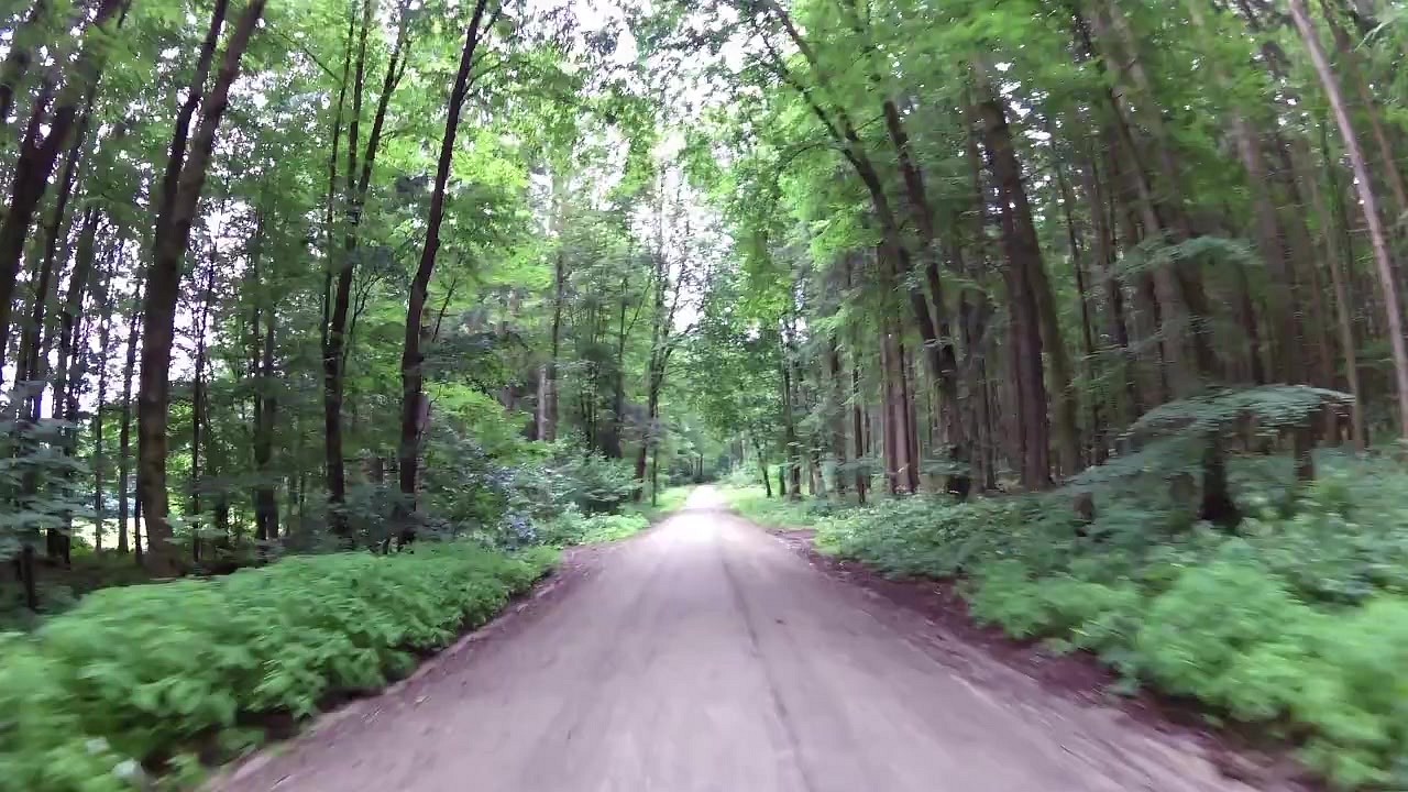
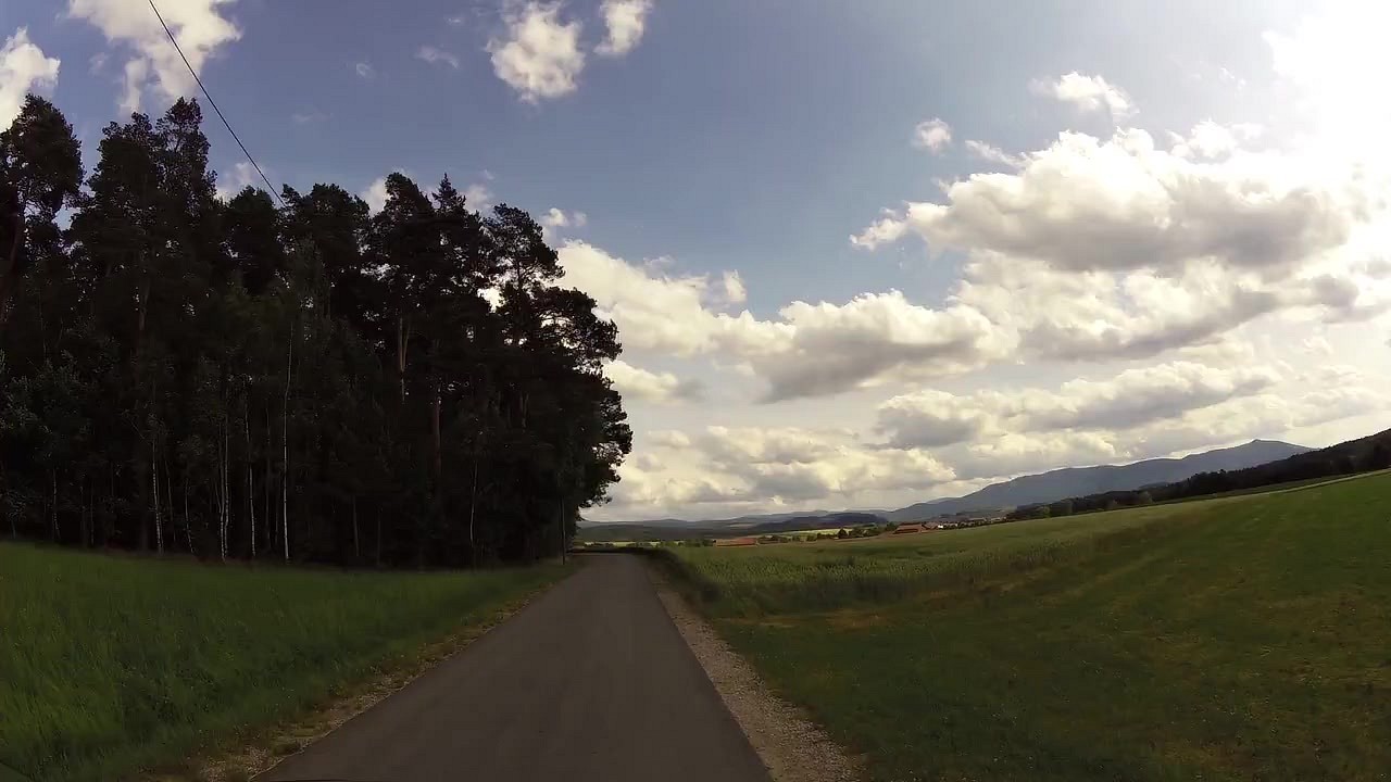
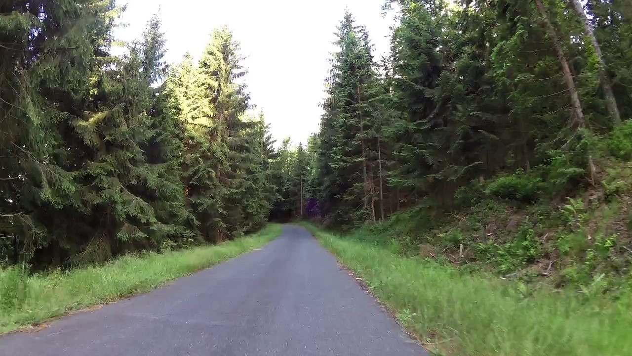
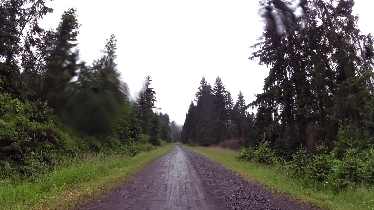
At the town of Seuchau we bypass the lake on a slightly busy road. Then we will cross the border back and forth a few times and after one of the returns to the Czech Republic we will have the famous Nýrsko reservoir nearby. But by then we are already heading to the top of Ostrý, from where there is a beautiful view of the highest mountain of Šumava - Velký Javor. On the top of Ostrý there is also a tourist hut from 1897. We pass the waterfall Bílá strž and head straight to Černý jezero. Then we will pass near several interesting places. The first one is the Main European Elbe/Danube watershed. This watershed is on the way to Devil's Lake. At the top of Mount Špičák, a 26.5 m high lookout tower with a fantastic view has stood since July 2014. It's time to head back to town for a while. That town is Železná Ruda, which is an important centre for summer and winter tourism.
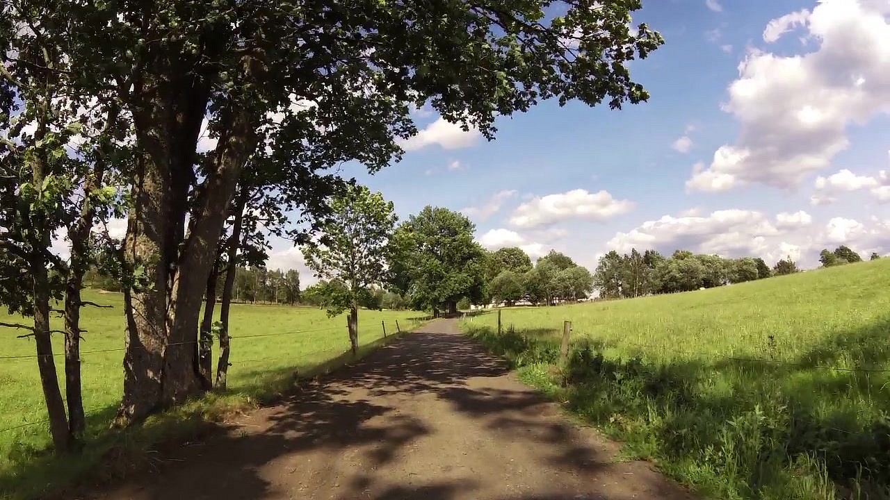
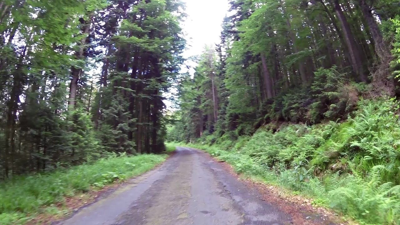
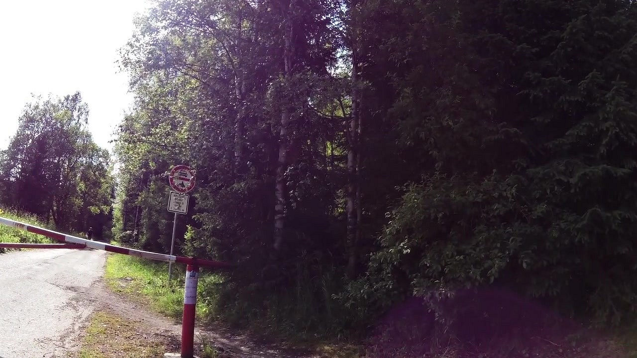
We will cross into Germany again and after a few kilometres we will finally return to the Czech Republic, more precisely to the village of Prášily, where you will find a castle and an information centre. Before that we pass the interesting site of the former settlements of Gsenget and Horní Ždánidla. On the way we will pass the Prášil Lake and the Poledník lookout tower. From this 37 m high lookout tower you have a wonderful view over the whole surroundings. And to make the beautiful views not enough, we will pass by the Oblík lookout tower. Then we will go through the Three Lakes Marshes. This is an example of a typical Sumava peat bog. There is a 250 m long nature trail around three peat ponds. And again we are heading to a small town, this time to Modrava, a town known from the novels of Karel Klosterman. The memorial to this novelist can be found in a secluded place called Březník. Březník is also the last point before the end of our almost 200 km long route, which ends near the source of the Vltava River. At each border crossing you will find a Eurovelo 13 board with information.
The route is marked at all times with the blue EuroVelo 13 symbol.


![]() Back to the list of videoroutes
Back to the list of videoroutes


