like:
type:
Walking tour
difficulty:
Easy
length:
13.87km
total elevation:
234.00m
total descent:
233.70m
navigation:

| 0.00km from start |
13.87km to finish |
m elevation |
0m total elevation |
0m total descent |
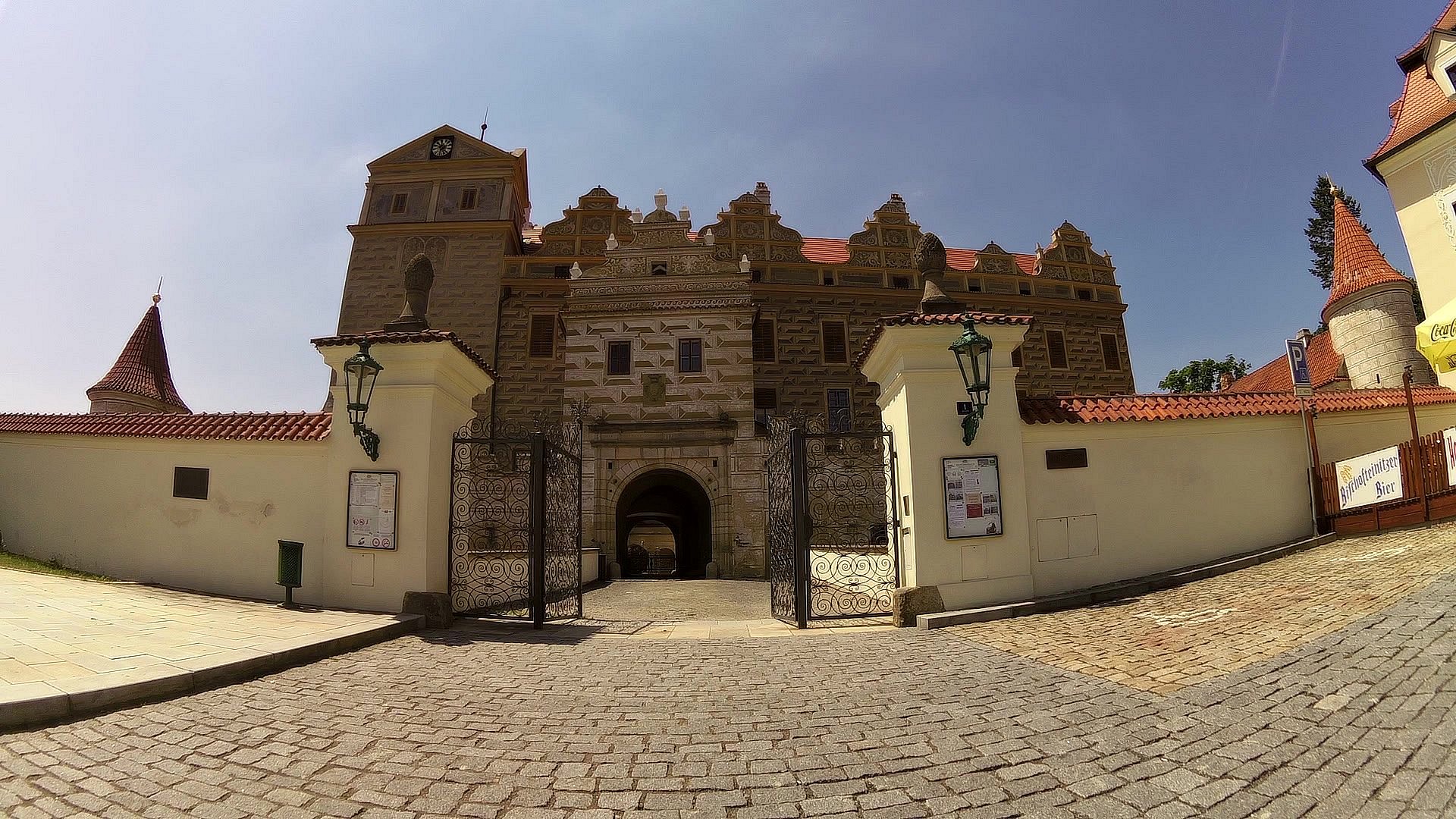
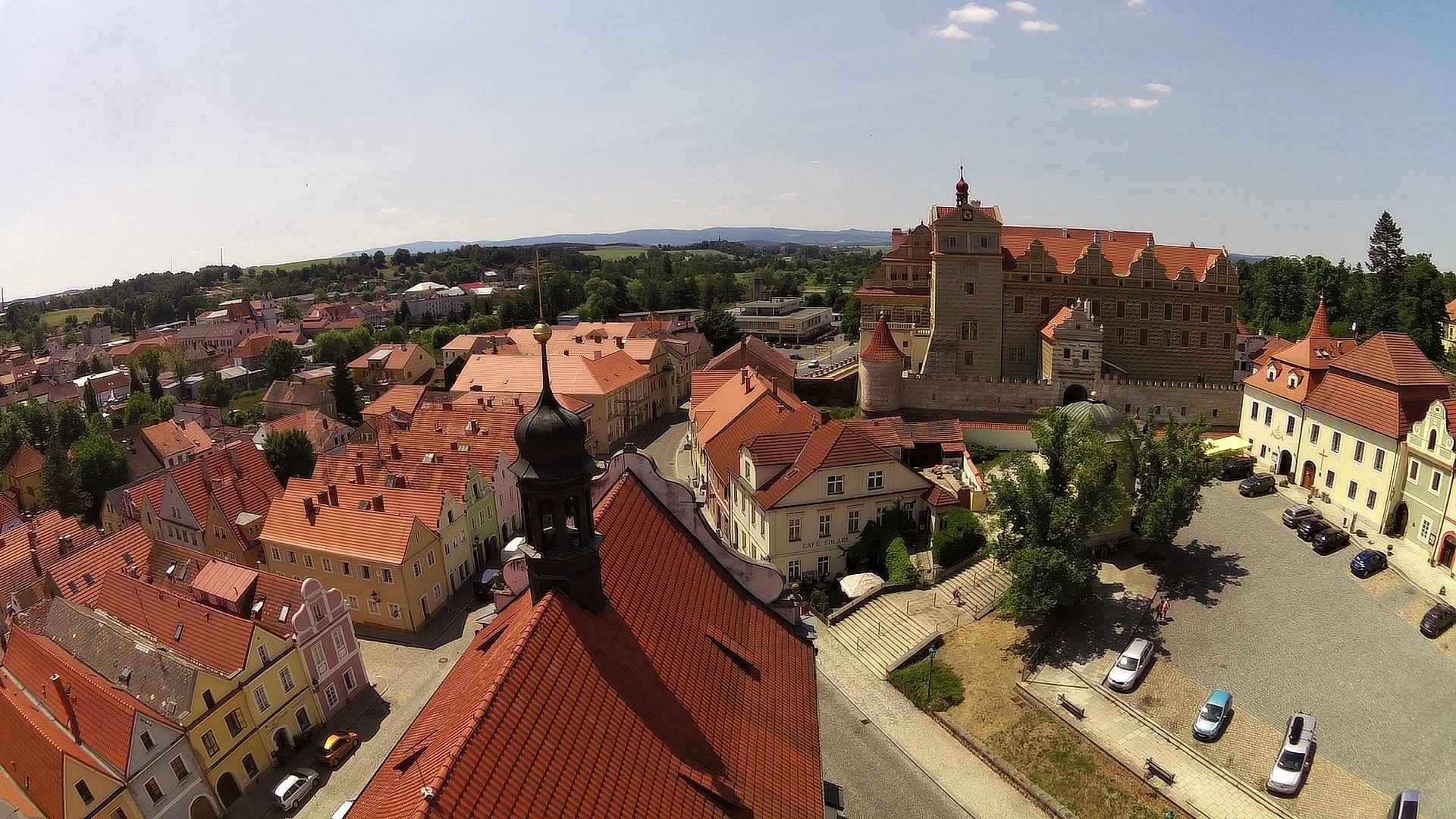
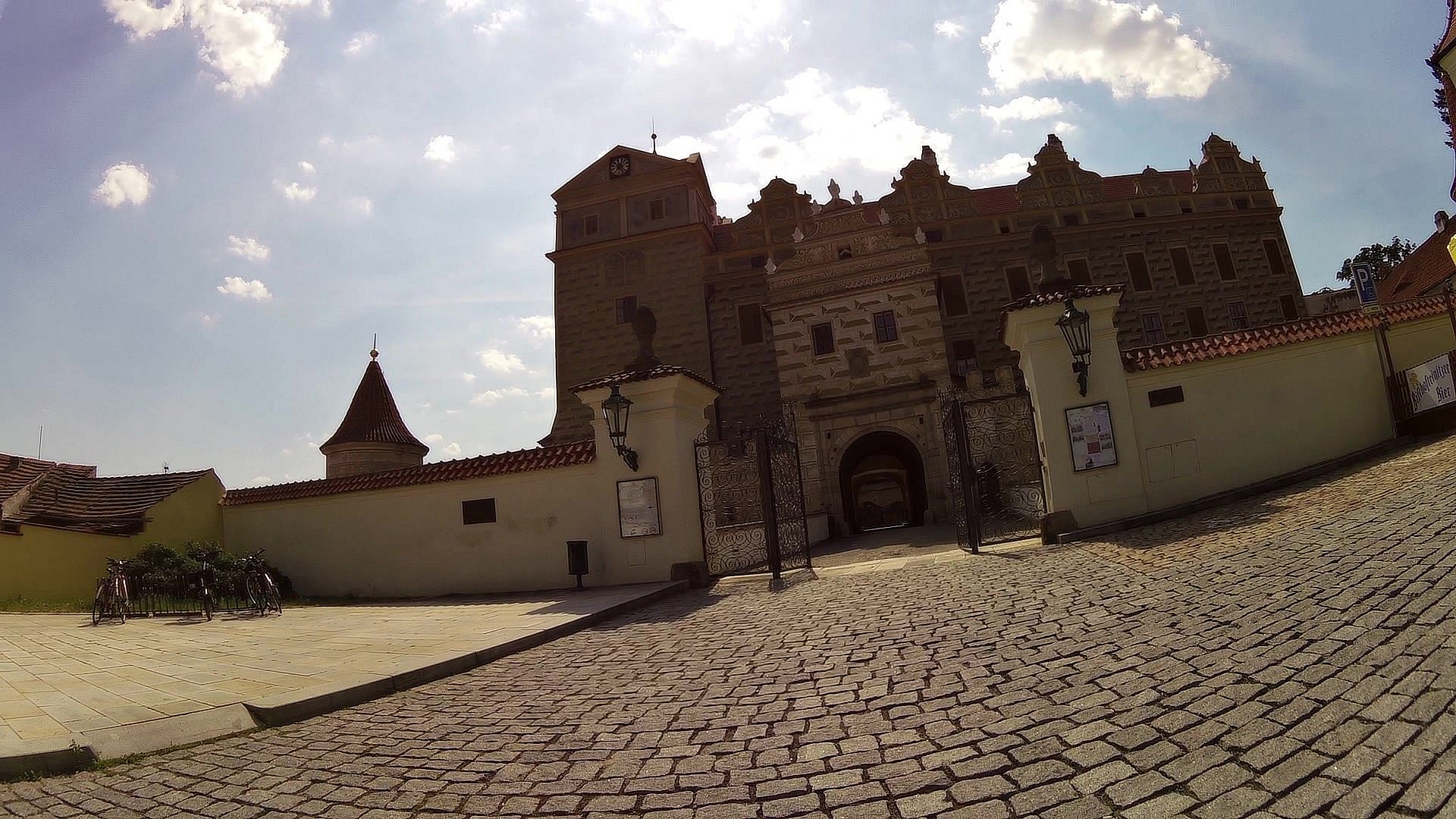
| Horšovský Týn Castle | map | video | |
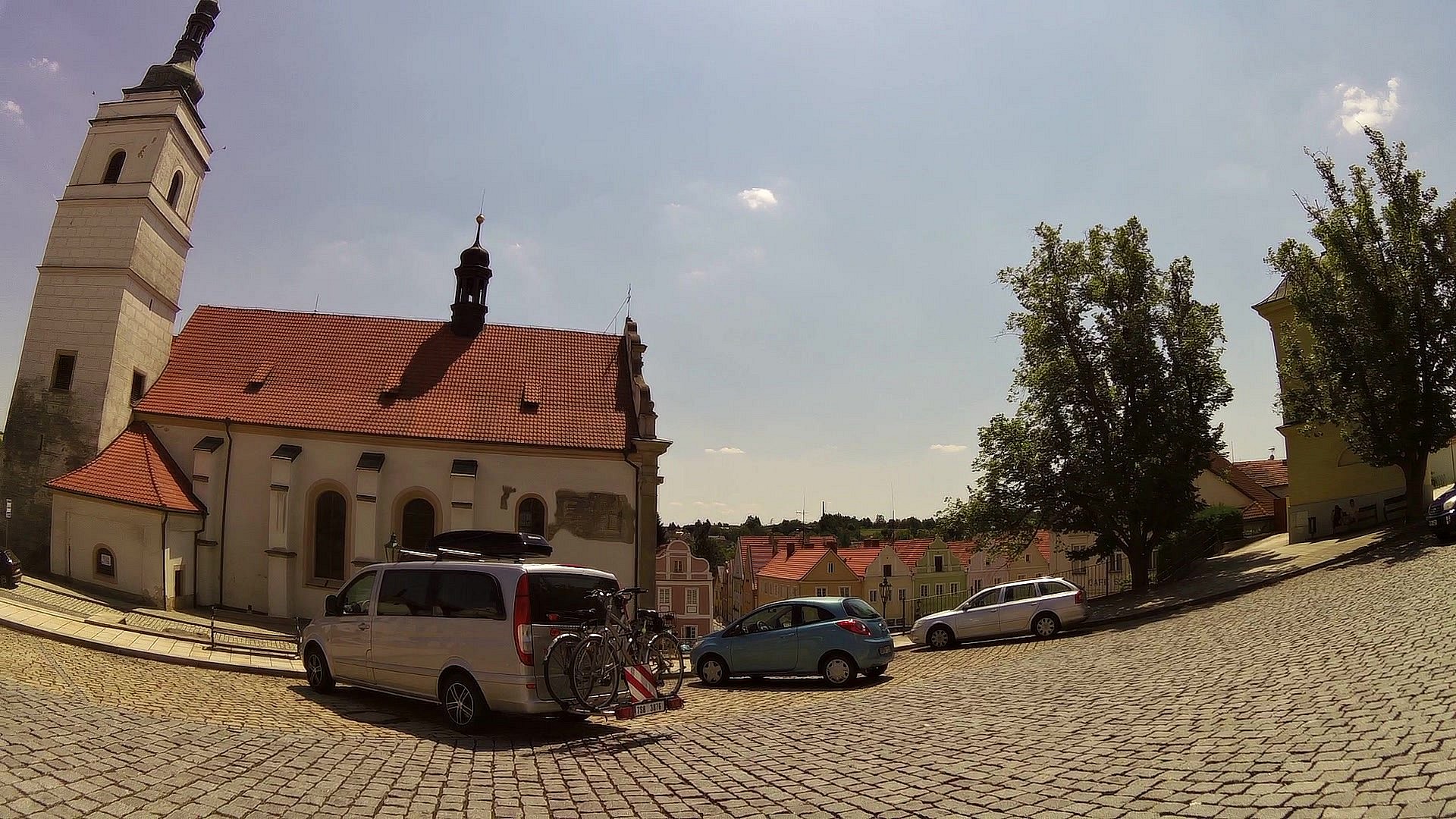
| Horšovský Týn Square | map | video | |
| Church of St. Peter and Paul with a sightseeing tower | map | video | |
| Radbuza River | map | video | |
| Lookout Tower on the Šibeniční vrch | map | video | |
| St. Apollinaire Church | map | video | |
| St. Anna Church on Vršíček | map | video | |
| All Saints Church in Horšov | map | video | |
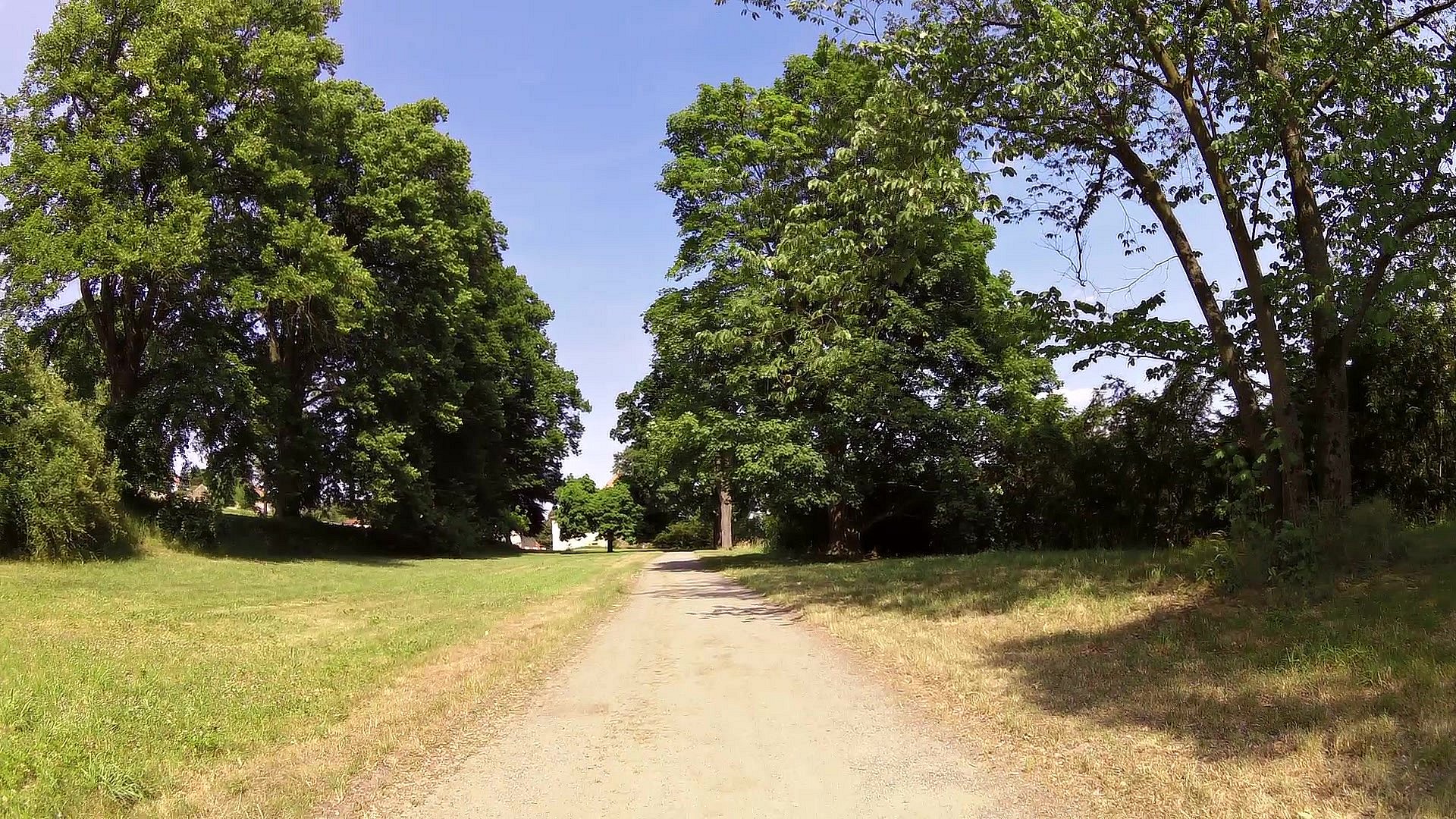
| Chateau park | map | video | |
| Summer Residence "The widow's house" | map | video | |
| Capuchin monastery | map | video |
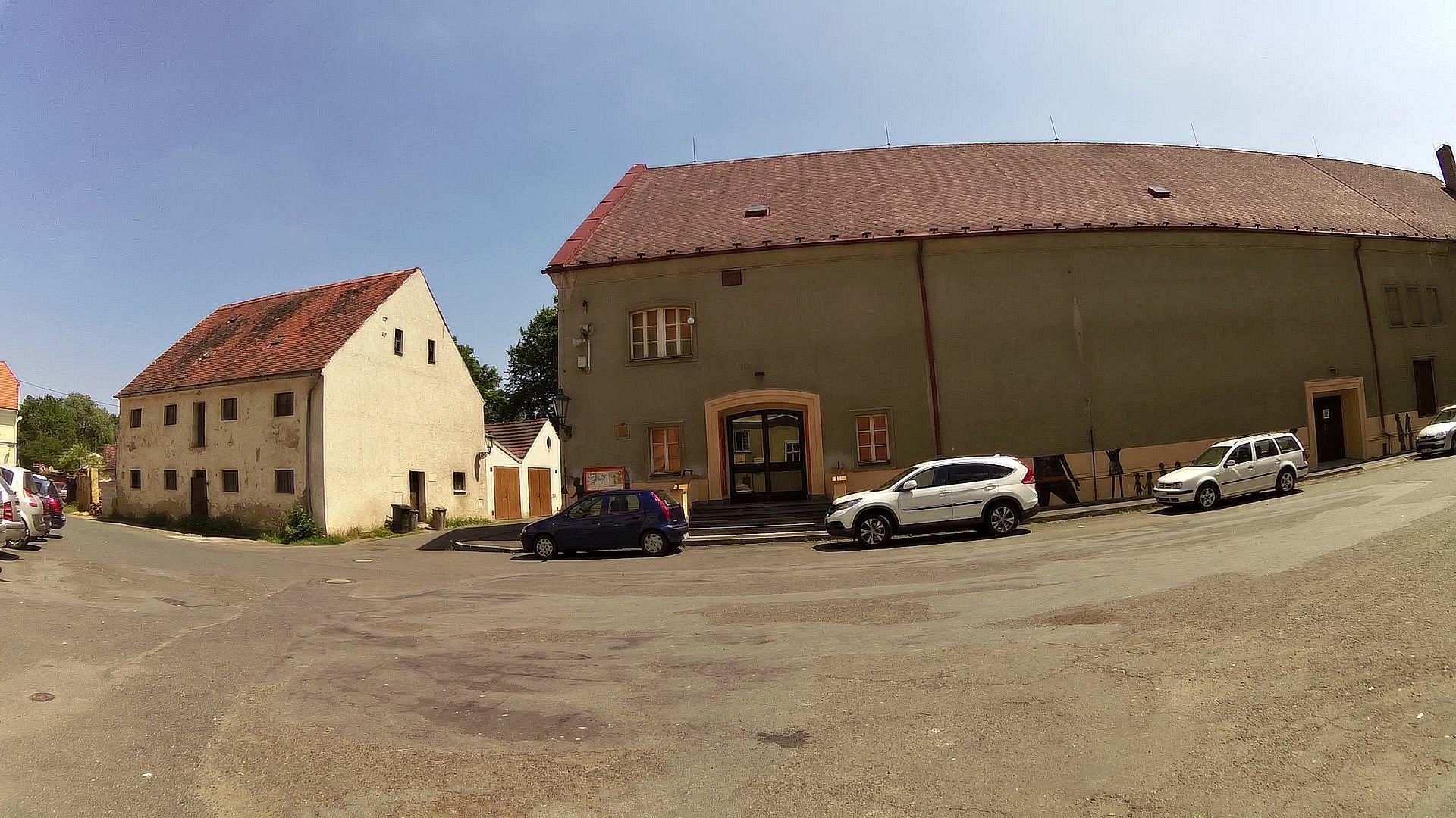
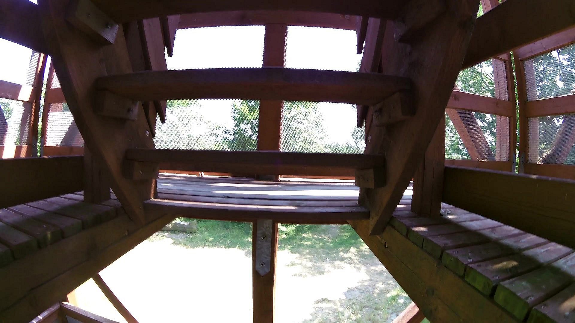
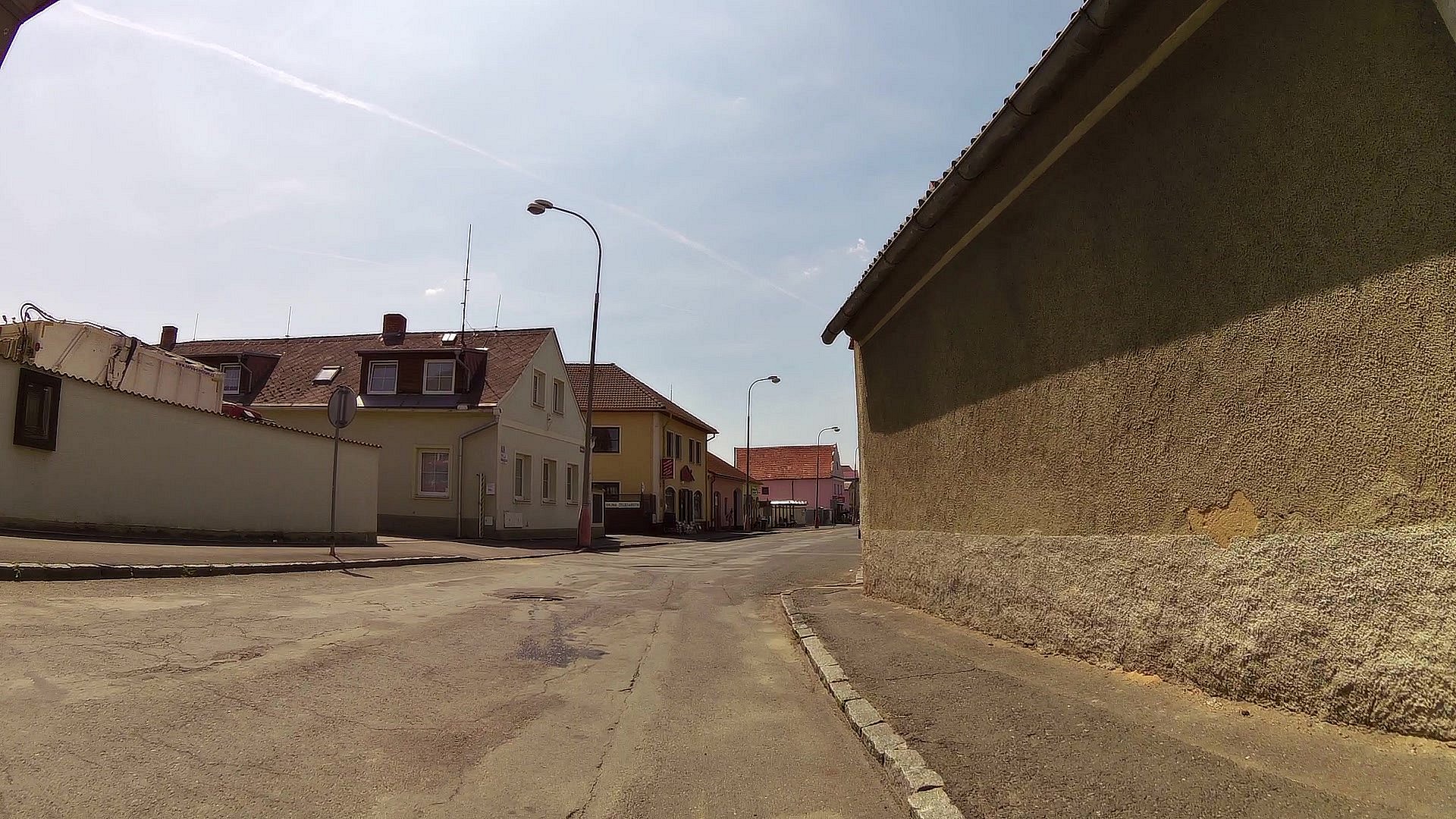
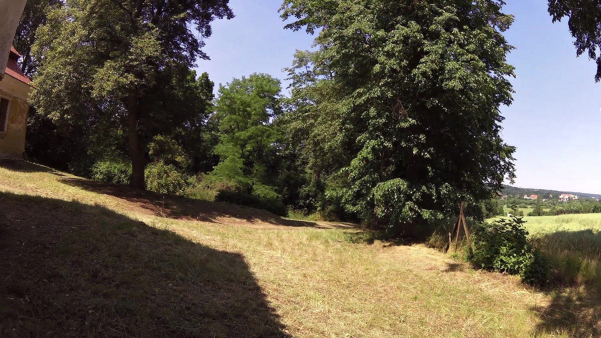
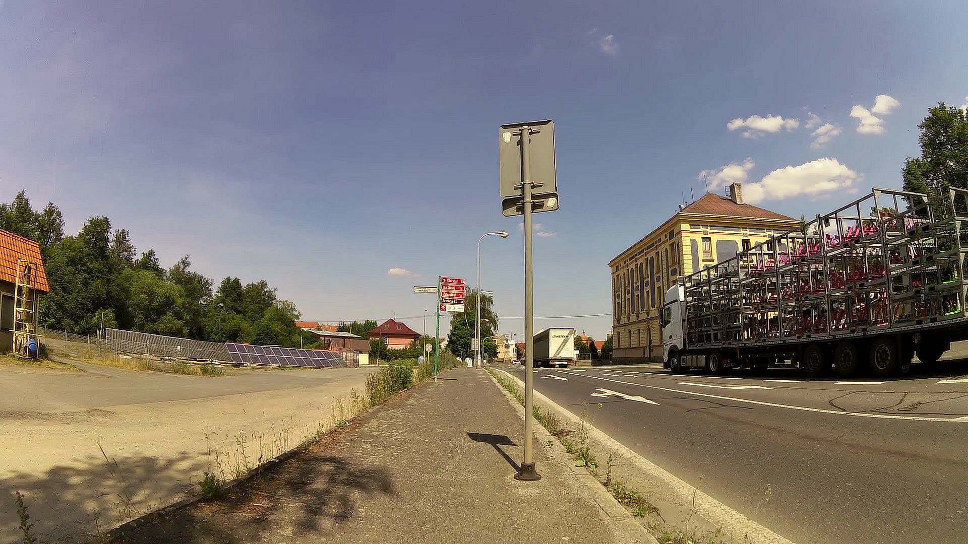
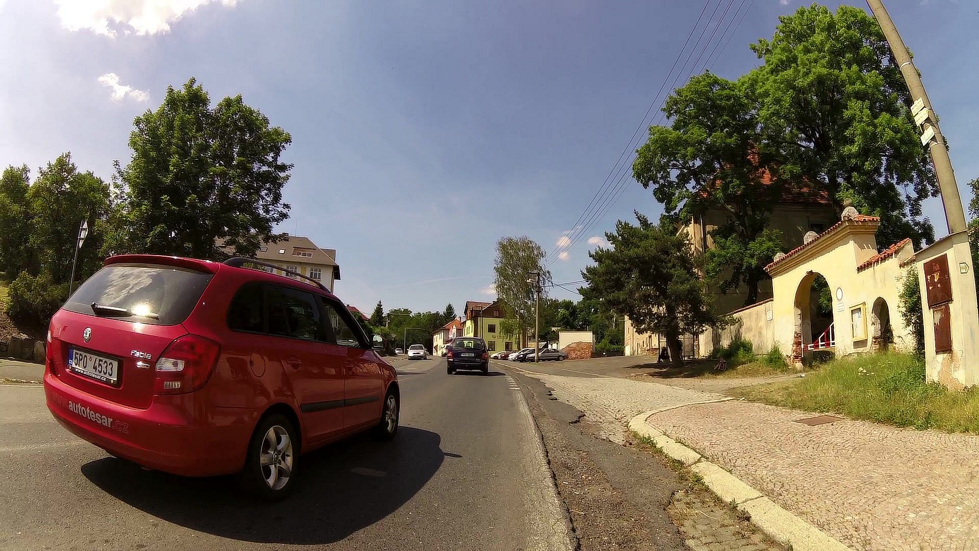
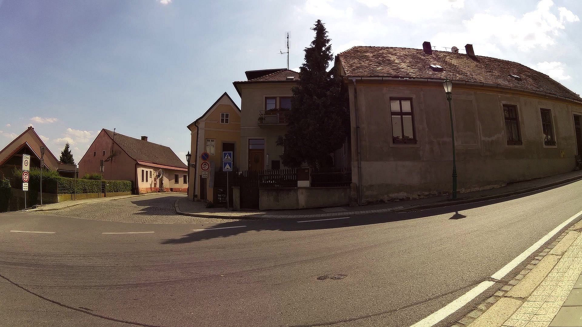
"Historical walk through Horšovský Týn and its surroundings" will lead the historic center / important buildings and buildings on the square + town hall, bell tower, St. Peter and Paul church with tower, Capuchin monastery, ballroom, state castle and chateau Horšovský Týn with adjoining park. Then we go to the observation tower on Šibeniční vrch, from where there is a beautiful view of the city. The viewing tower is beautifully visible and our next destination will be the St. Anna Church at Vršíček, from where it is not far to Horšov, where is the All Saints Church in Horšov with a unique Gothic ship.
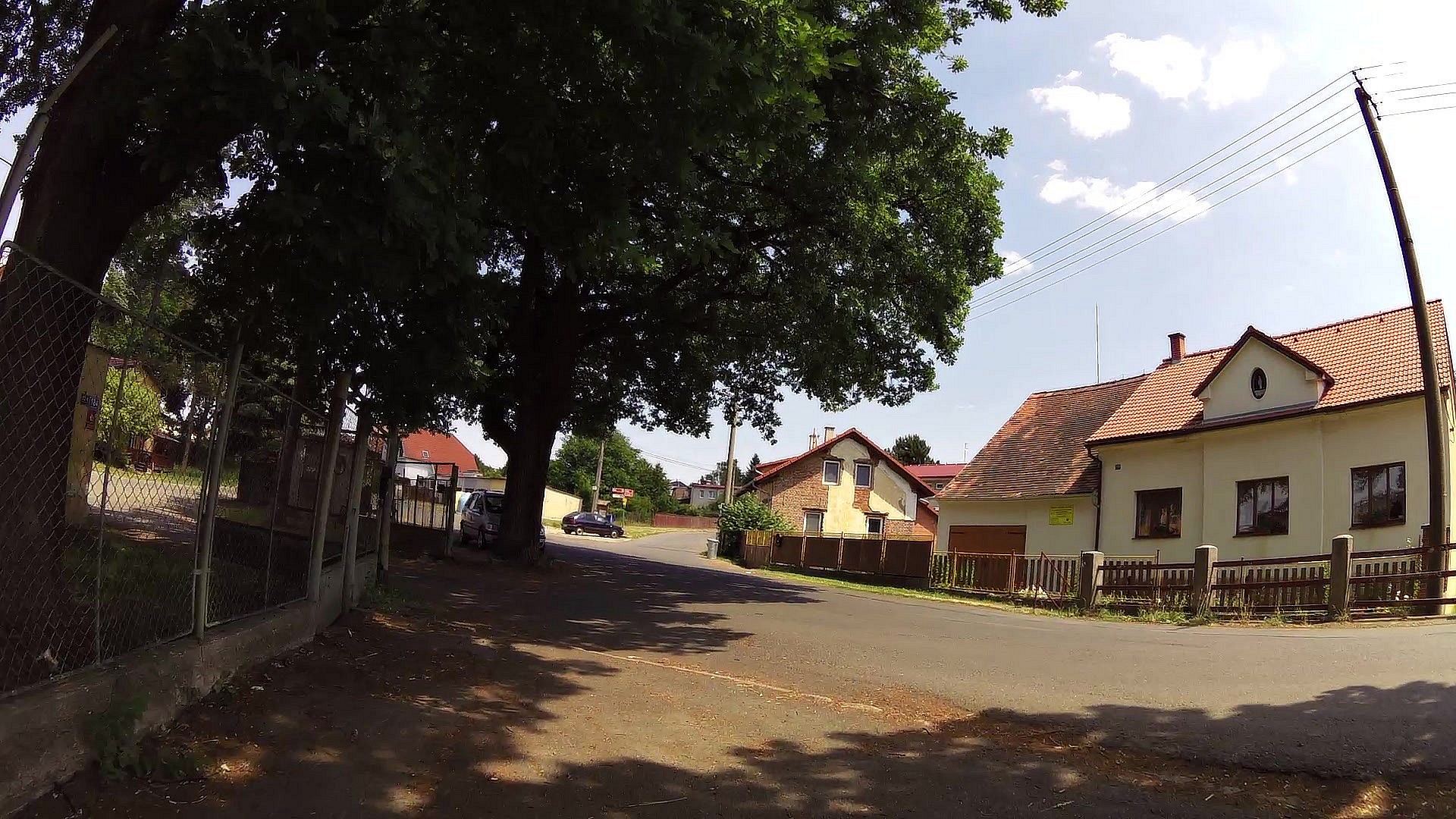
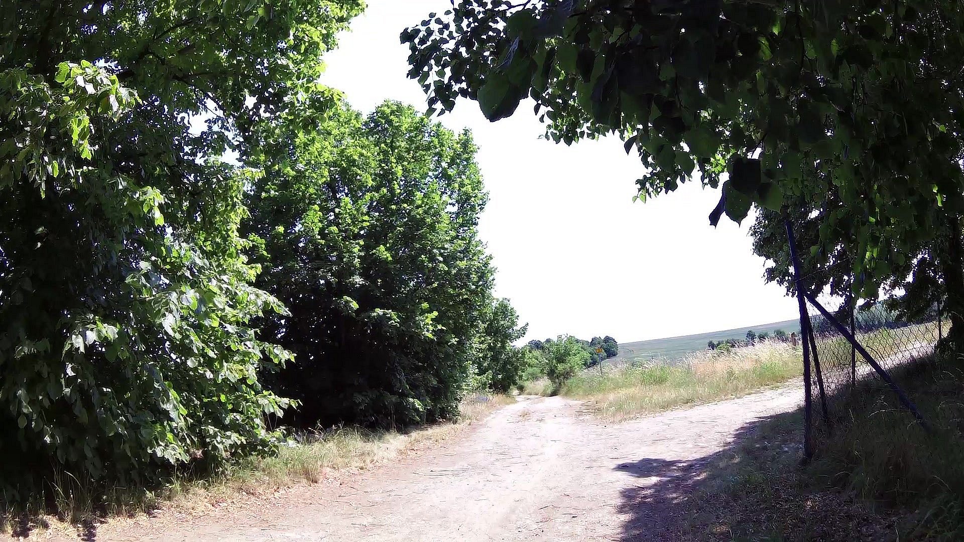
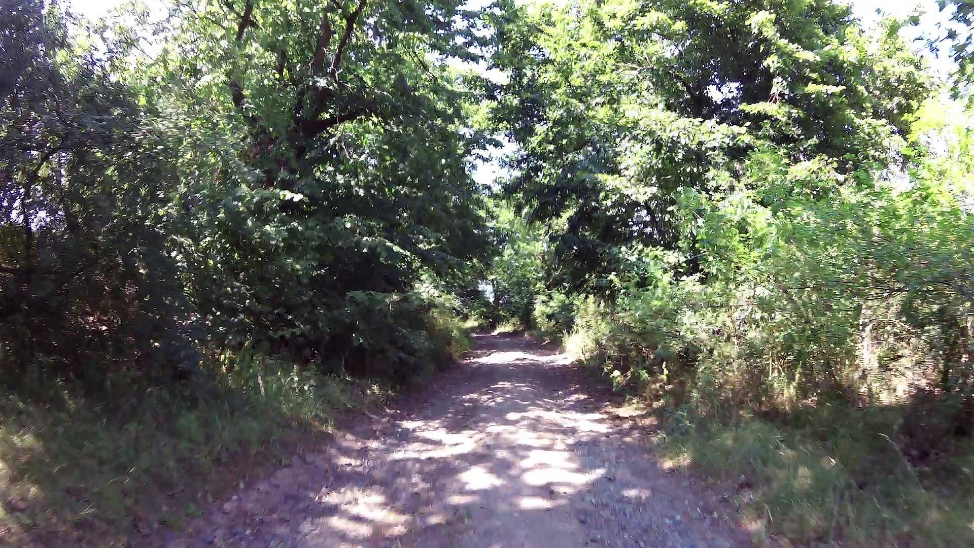
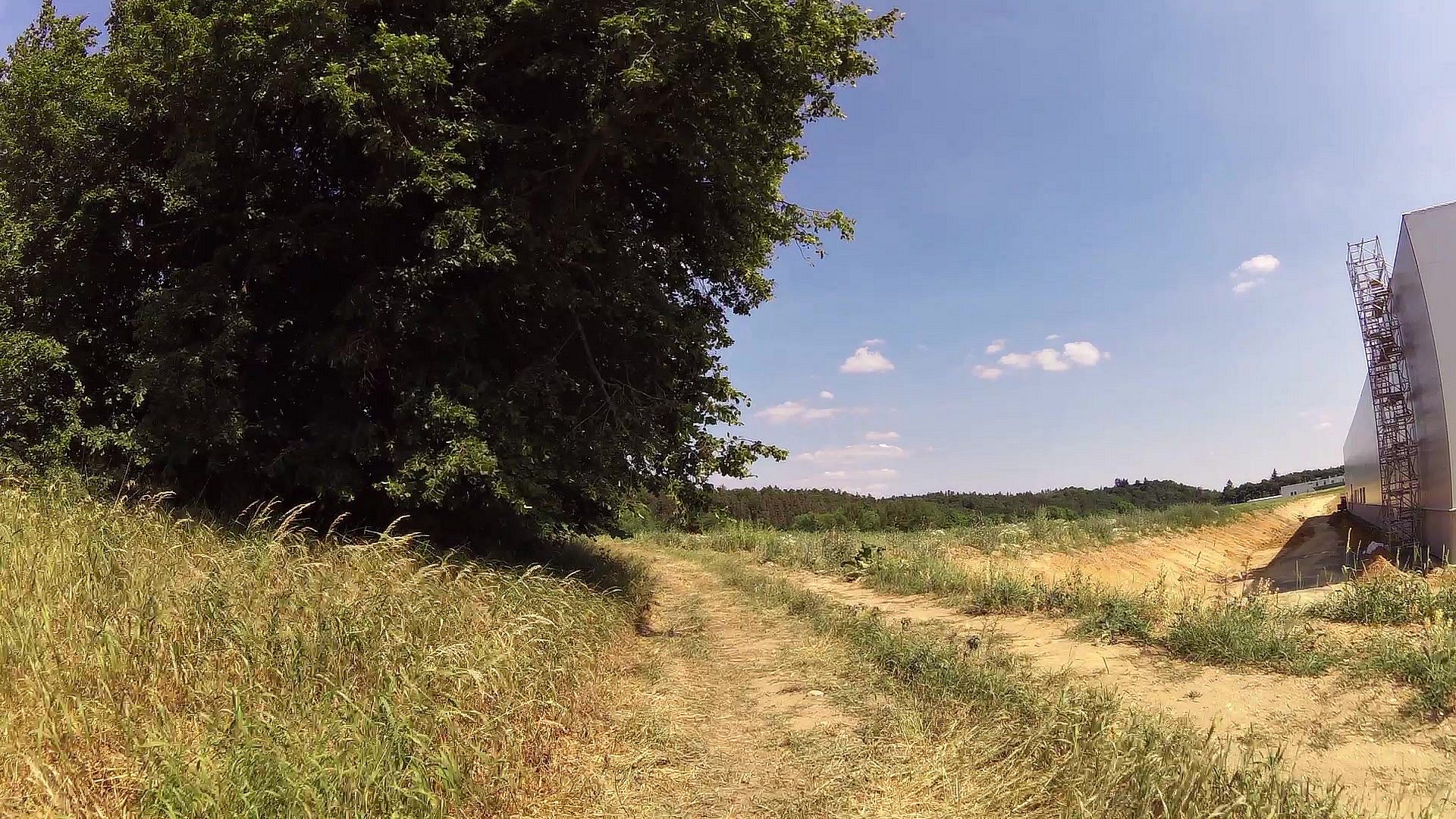
The route is undemending. Only in one place is a slight exit to Šibeniční vrch. And it is for everyone: families with children, cyclists, hikers, local citizens and visitors of the city.


![]() Back to the list of videoroutes
Back to the list of videoroutes


")


