like:
type:
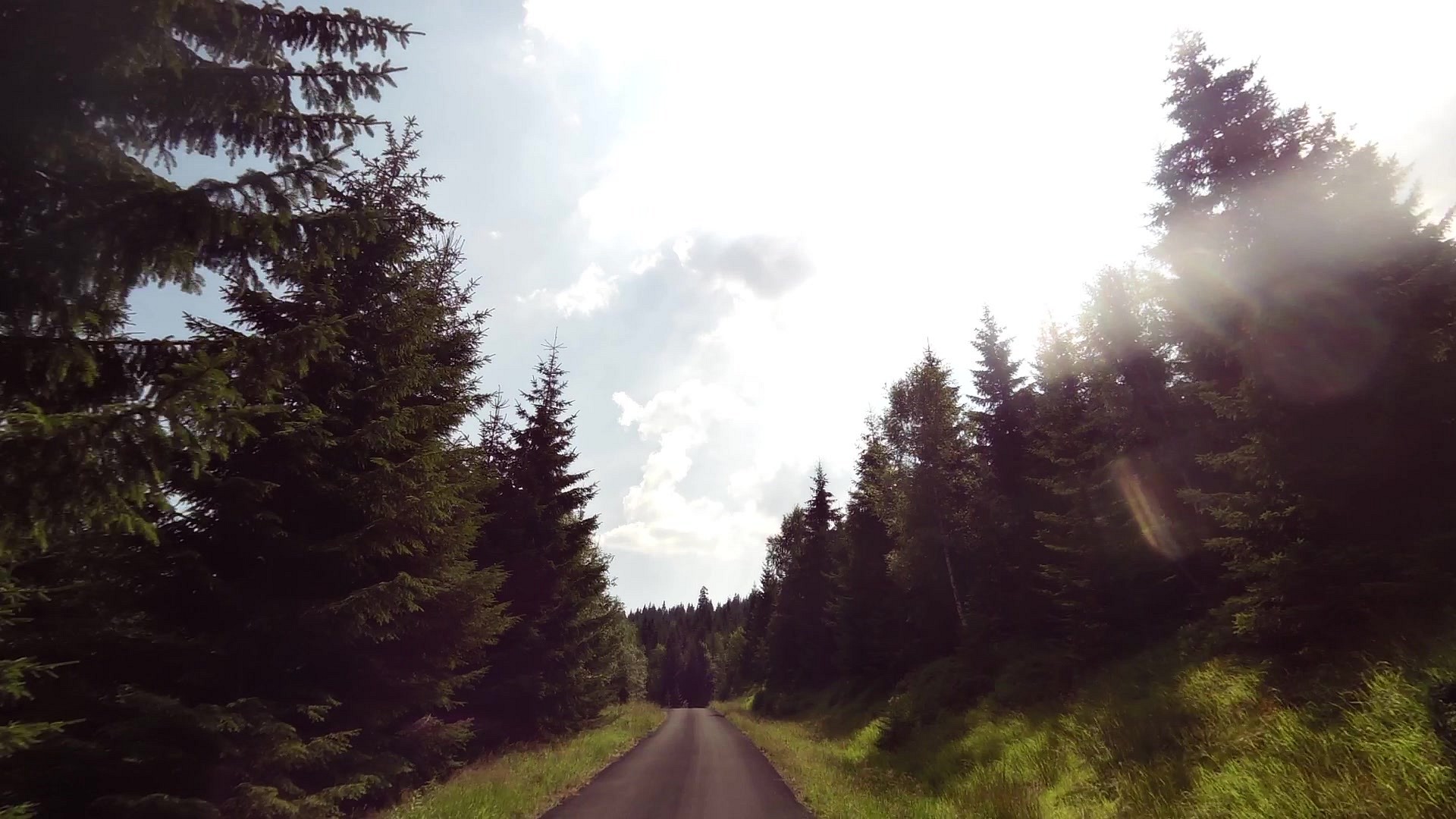
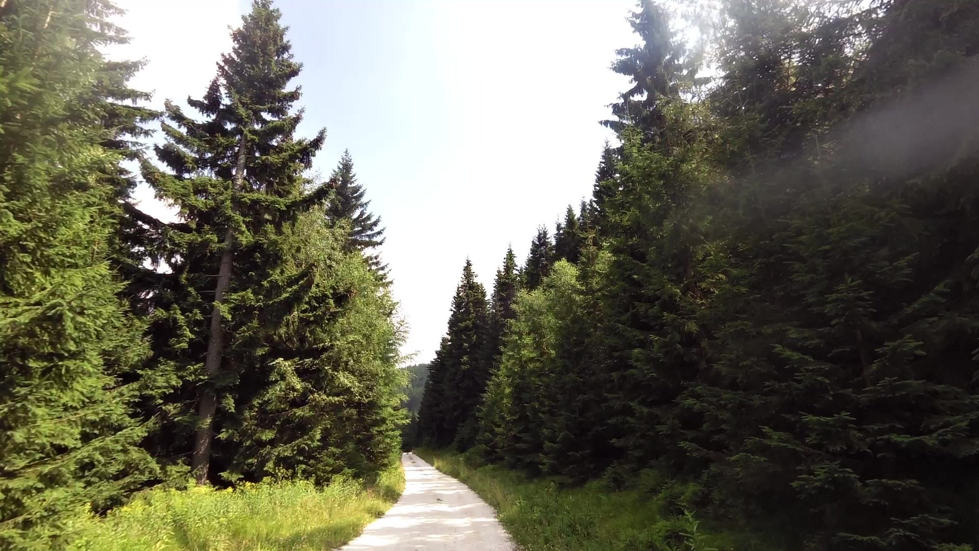
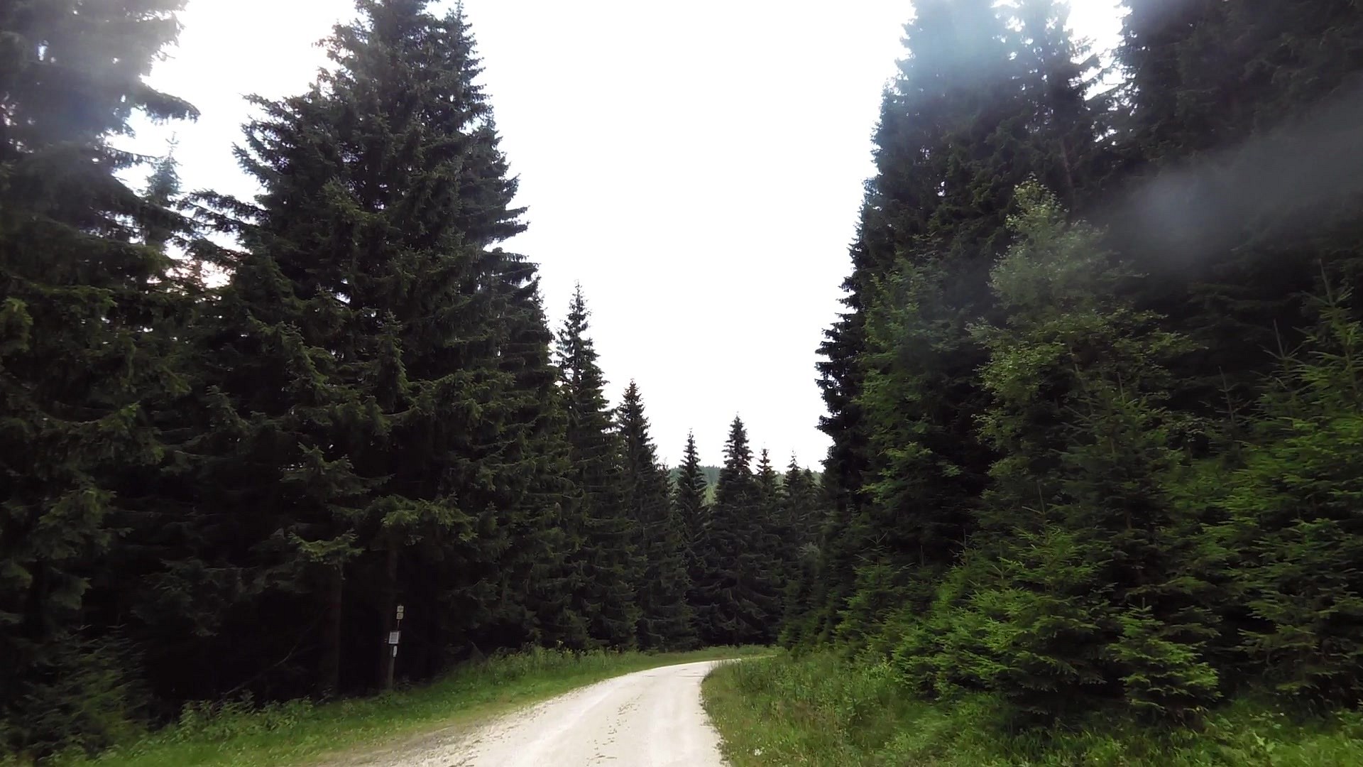
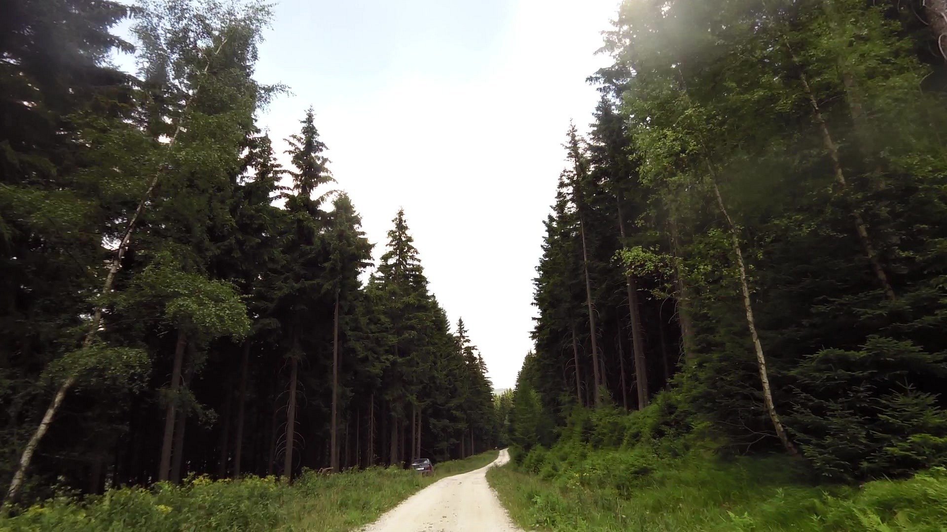
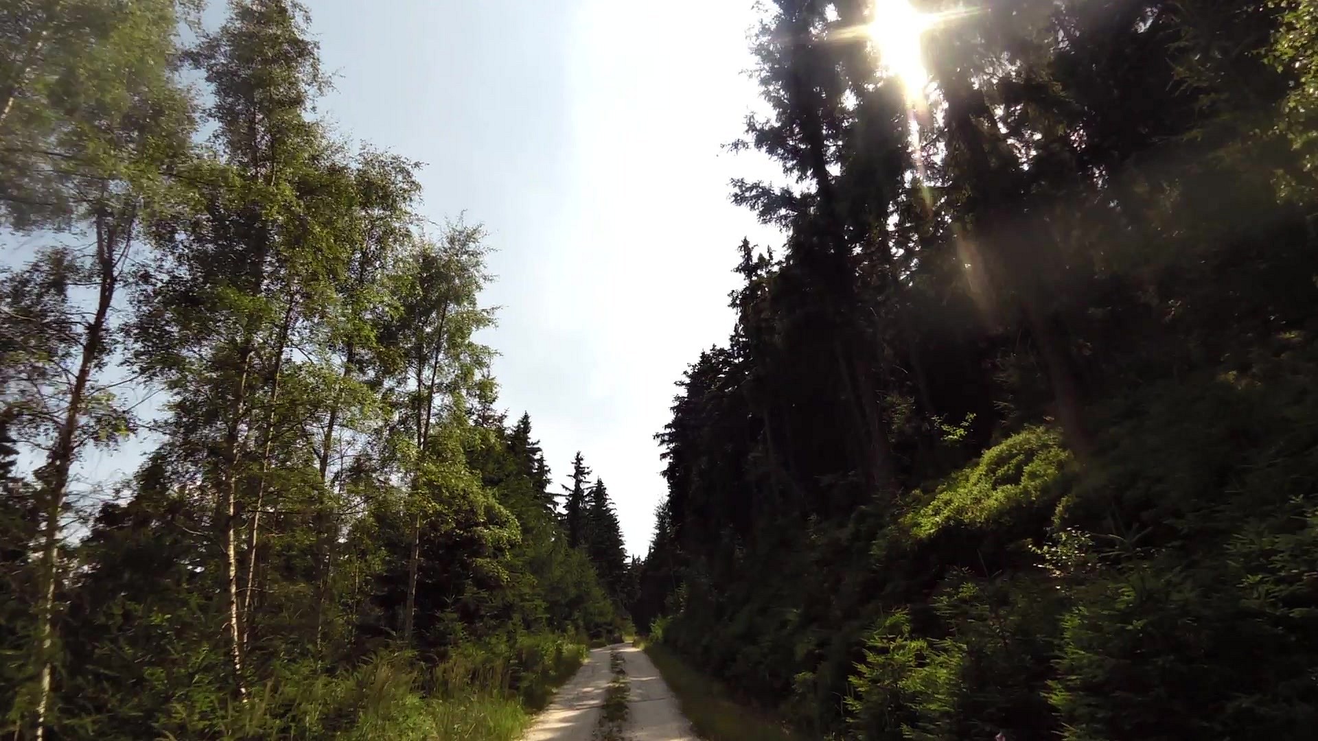
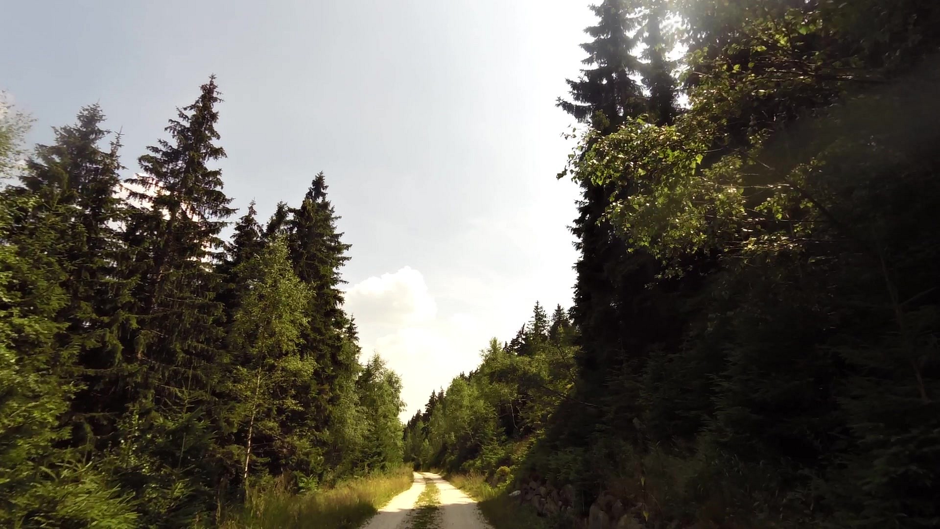
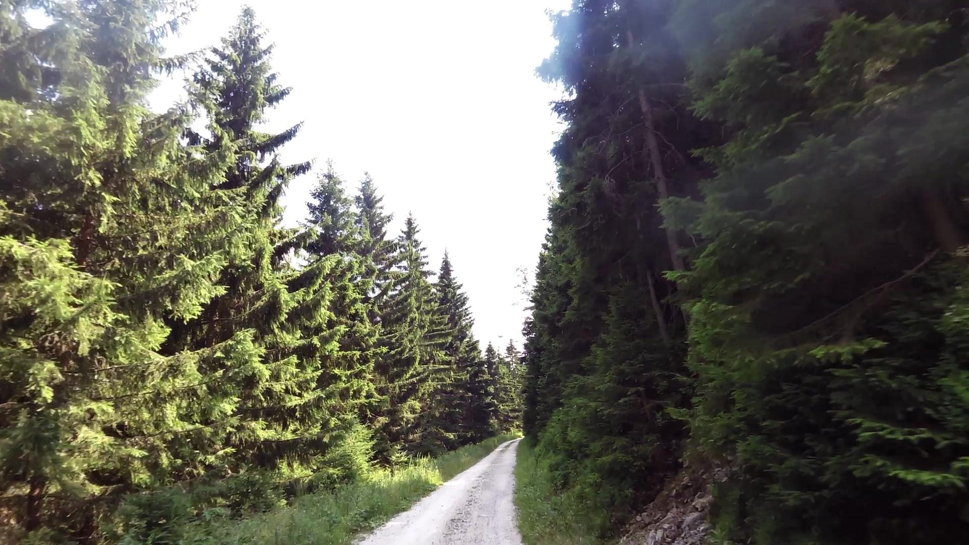
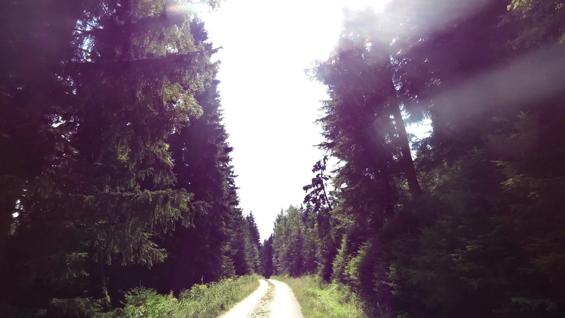
Cycling
difficulty:
Hard
length:
8.21km
total elevation:
451.80m
total descent:
181.60m
navigation:

| 0.00km from start |
8.21km to finish |
m elevation |
0m total elevation |
0m total descent |
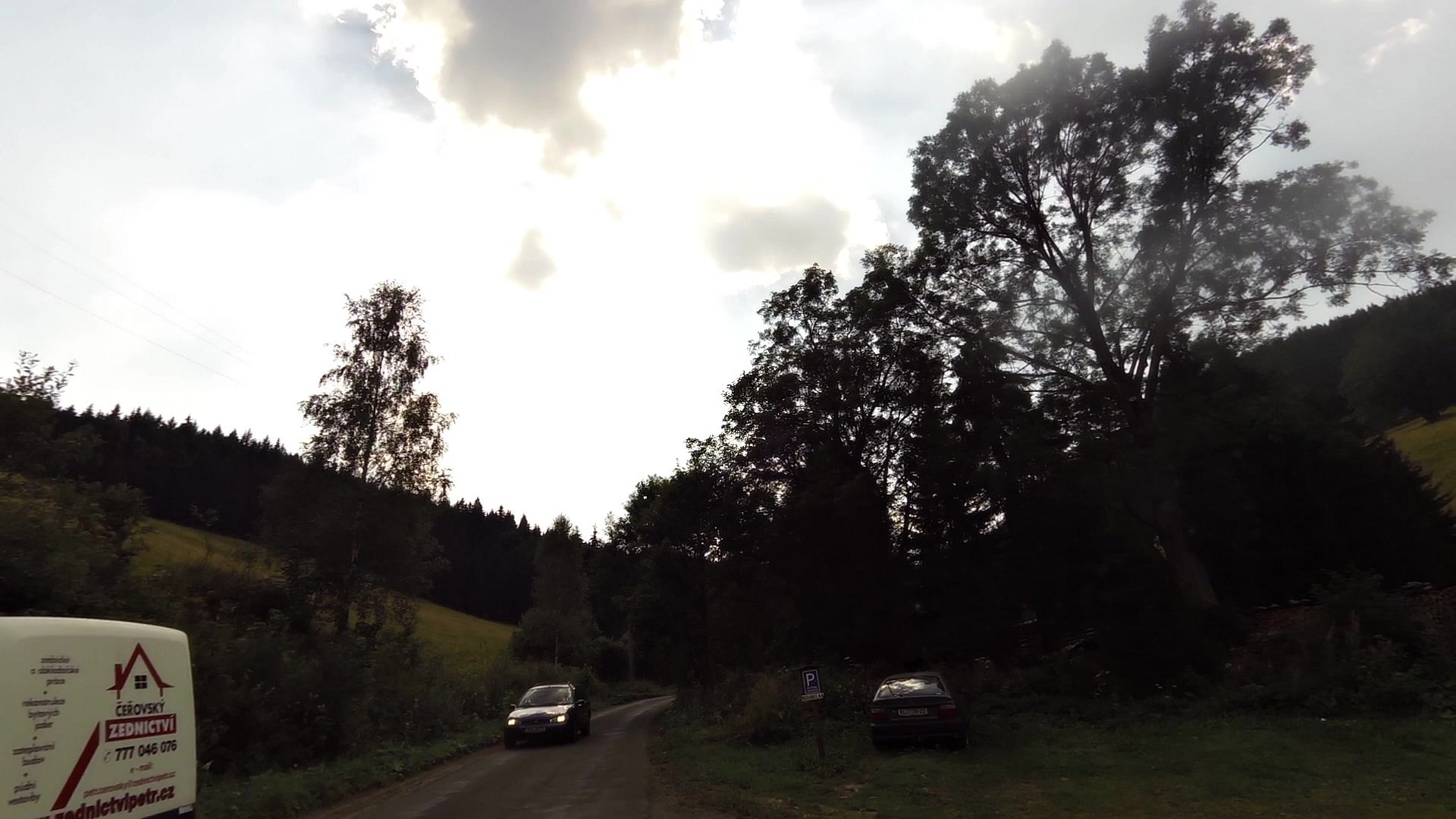
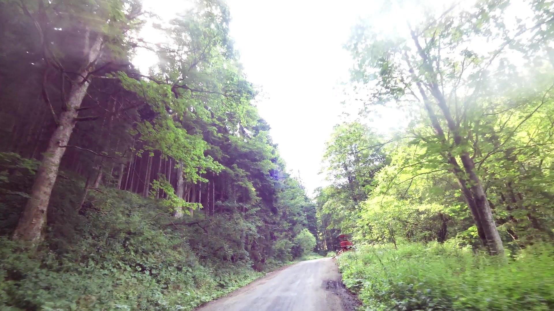
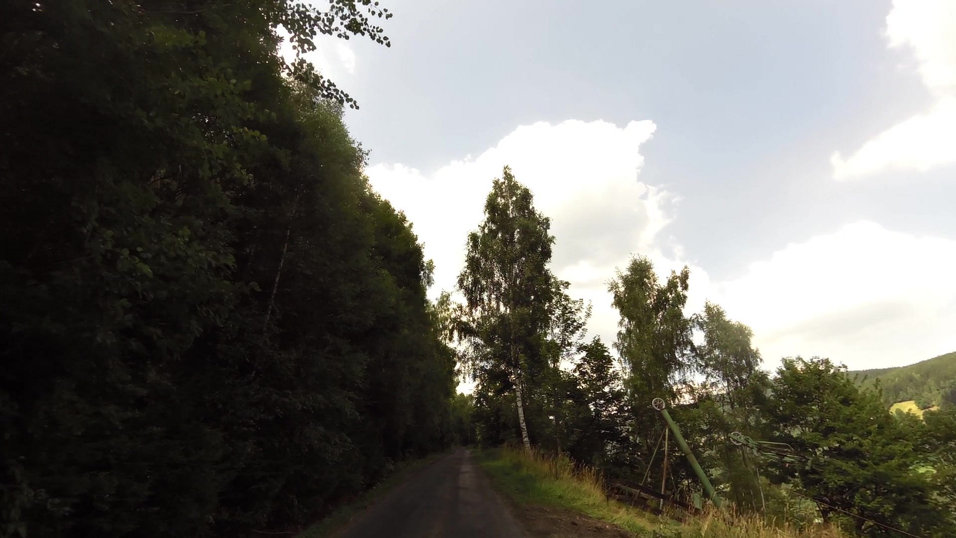
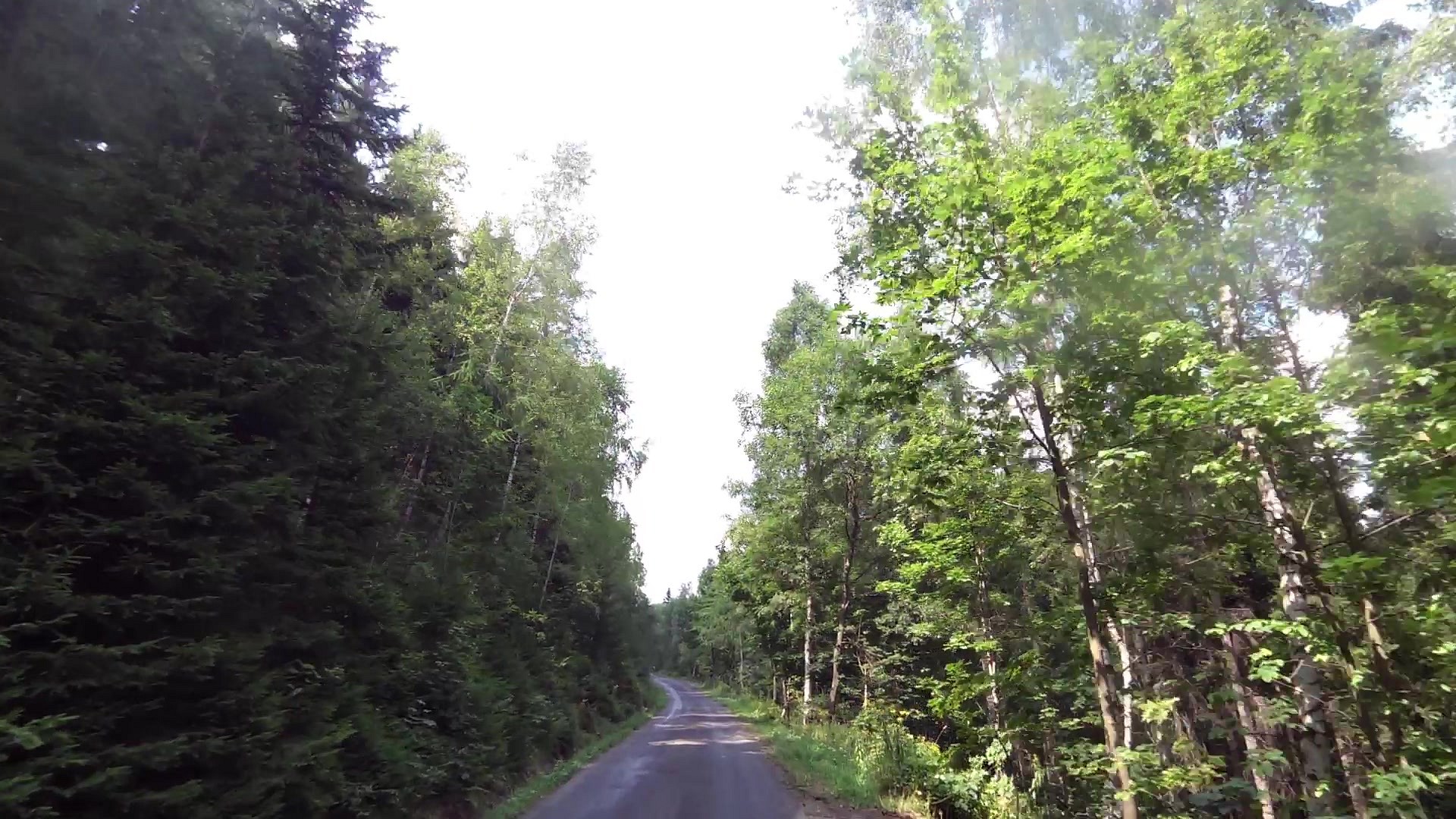
| Vavřincův Důl (pit) | map | video | |
| Vlašské Boudy (cottage) | map | video | |
| U Velkých Tippeltových Bud (cottage) | map | video | |
| Krausovy Boudy (cottage) | map | video |


![]() Back to the list of videoroutes
Back to the list of videoroutes


