Džbánsko - the landscape of golden limestone

Profile
| 0.00km from start |
30.26km to finish |
m elevation |
0m total elevation |
0m total descent |
Point of interest (POI)
| Louny - Municipal Information Centre | map | video | |
| Žatecká Gate | map | video | |
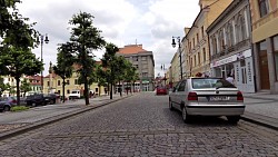
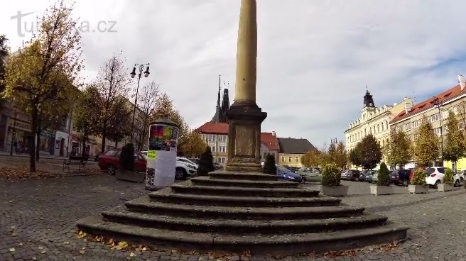
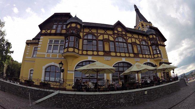
| Poděbradova street - an Art Nouveau gem | map | video | |
| Educational trail Louny-Zeměchy | map | video | |
| Selmický forest | map | video | |
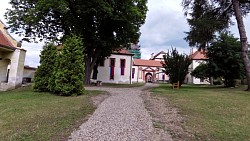
| Augustinian monastery in Dolní Ročov | map | video | |
| The township Ročov | map | video | |
| Solopysky | map | video | |
| Hřivice | map | video | |
| Castle Nový Hrad, Jimlín | map | video |
Džbánsko - the landscape of golden limestone
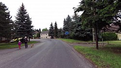
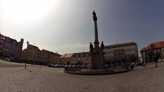
Route: the square in Louny - Poděbradova street - At the Water Tower - cycling route 304 - the village Zbrašín - Selmice - Kocanda - Břinkov - Úlovice - township Ročov - Solopysky - Konětopy - Hřivice - Touchovice - Jimlín - castle Nový Hrad - the town Louny.
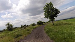
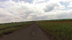
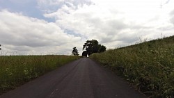
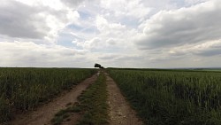
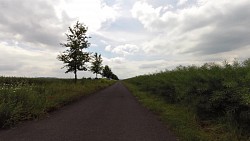
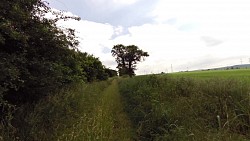
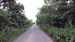
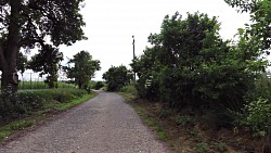
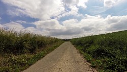
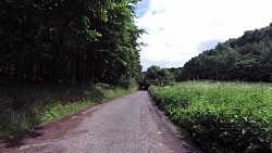
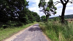
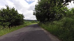
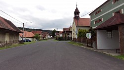
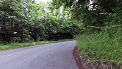
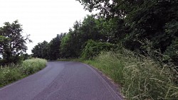
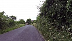
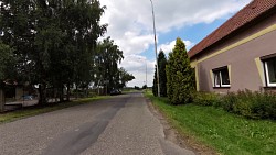
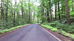
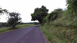
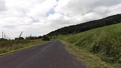
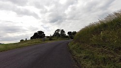
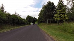
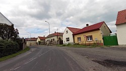
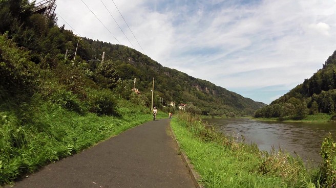
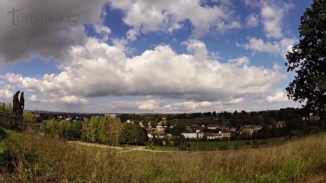
Most of the route runs along paved rural roads to avoid road traffic (with a small deviation you can even follow the third class roads which trace our route). The route often leads over horizons, where there are beautiful views of the countryside - Czech Central Mountains and the Džbán. Džbán region consists mainly of spongilite and travertine that were used as building material and white stones on the decorative elements - statues in churches and important buildings in the area. This is so called spongilite architecture - mostly peasant houses of golden color, which arose due to unplastered spongilite. Džbán has also been a natural park since 1994 and we go through the watershed of the rivers Vltava, Berounka and Ohře. Along the way we can enjoy the golden and white colours of stone quarries, red soil of hop fields and greenery of mixed forests (65-70% slopes). Historically we would be going through the territory of Kolowrat family.
Share to friends
Rating
Photos from track
![]() Back to the list of videoroutes
Back to the list of videoroutes


